Abbotstone Wood

Wood, Forest in Hampshire Winchester

England

Abbotstone Wood

Farmland, Old Alresford The corner of a field of wheat to the east of Godsfield Copse.
Farmland, Old Alresford Credit: Andrew Smith

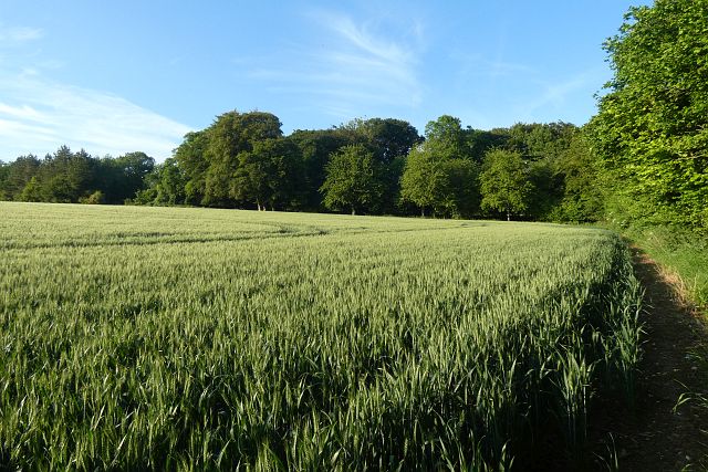
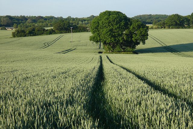
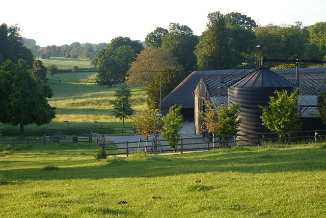
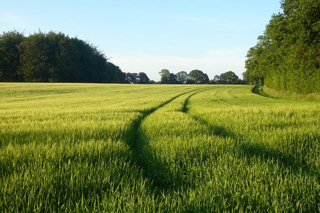
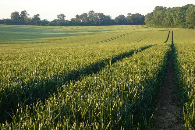
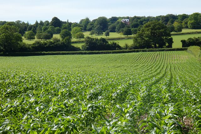
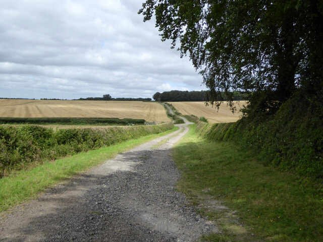
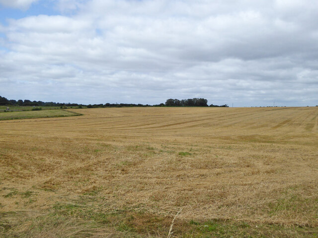
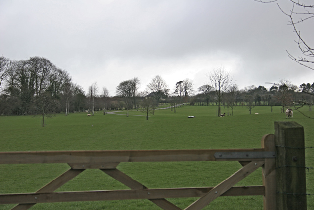
Abbotstone Wood is a picturesque woodland located in the county of Hampshire, England. Covering an area of approximately 200 acres, it is nestled in the beautiful countryside and is part of the South Downs National Park. The wood is situated near the village of Northington, just a few miles away from Alresford.

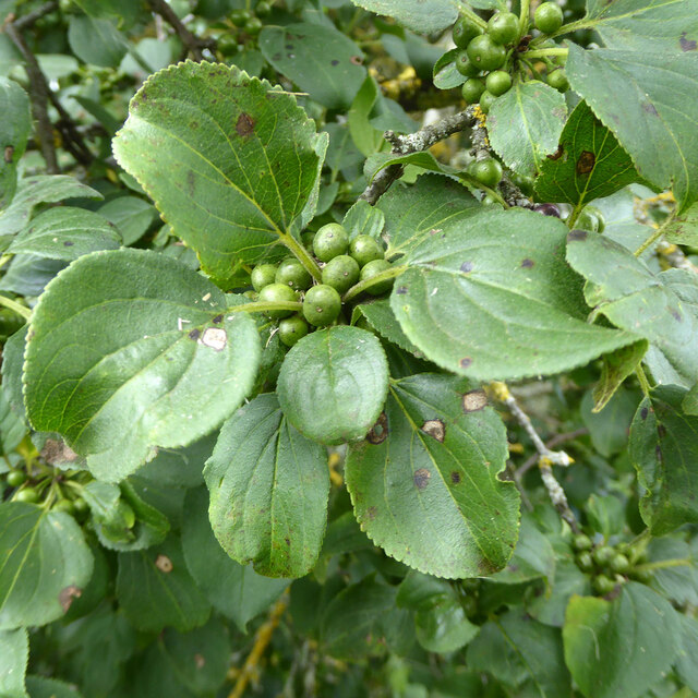
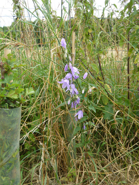
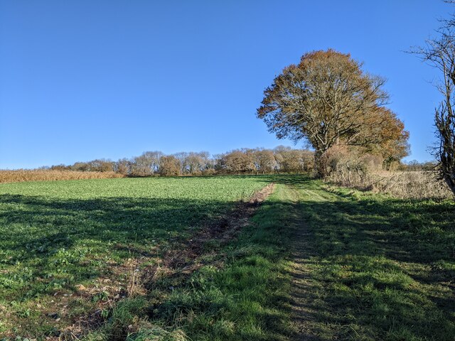
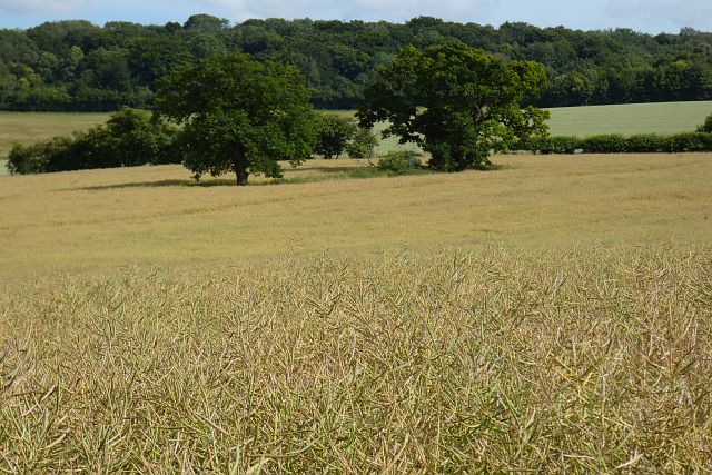
Abbotstone Wood boasts a diverse range of flora and fauna, making it a haven for nature enthusiasts. The woodland is predominantly composed of broadleaf trees, including oak, beech, and ash, which create a dense canopy that provides shade and shelter for a variety of wildlife. Bluebells carpet the forest floor in the spring, creating a stunning display of vibrant color.

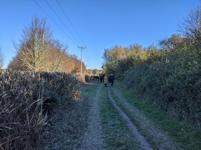
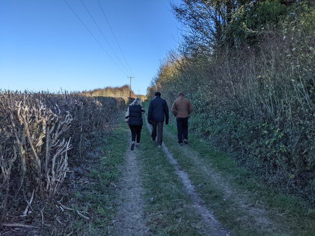
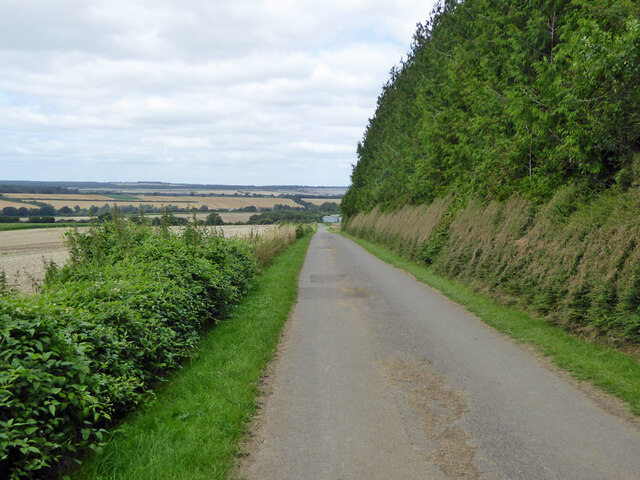
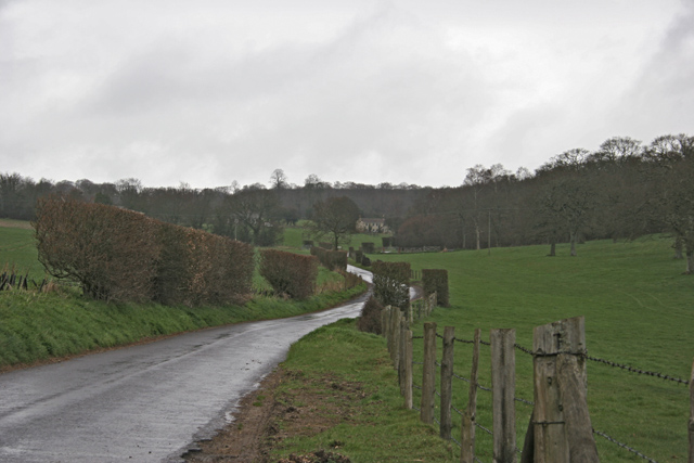
The wood is crisscrossed by a network of walking paths, allowing visitors to explore its natural beauty at their own pace. These trails lead to hidden clearings, babbling brooks, and peaceful picnic spots, offering opportunities for relaxation and quiet contemplation.

Abbotstone Wood is also home to a rich array of wildlife. Birdwatchers can spot a wide range of species, including woodpeckers, owls, and various songbirds. Deer, foxes, and badgers can also be spotted in the early morning or late evening hours.

Overall, Abbotstone Wood offers a tranquil escape from the hustle and bustle of everyday life. Its natural beauty and diverse ecosystem make it an ideal destination for those seeking to reconnect with nature in the heart of Hampshire.

If you have any feedback on the listing, please let us know in the comments section below.

Abbotstone Wood Images

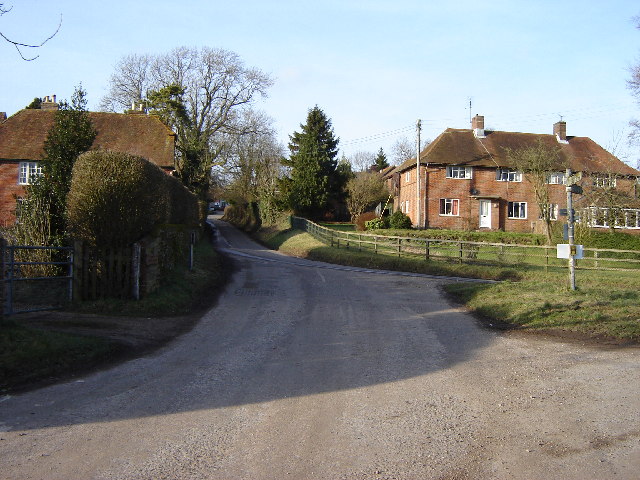
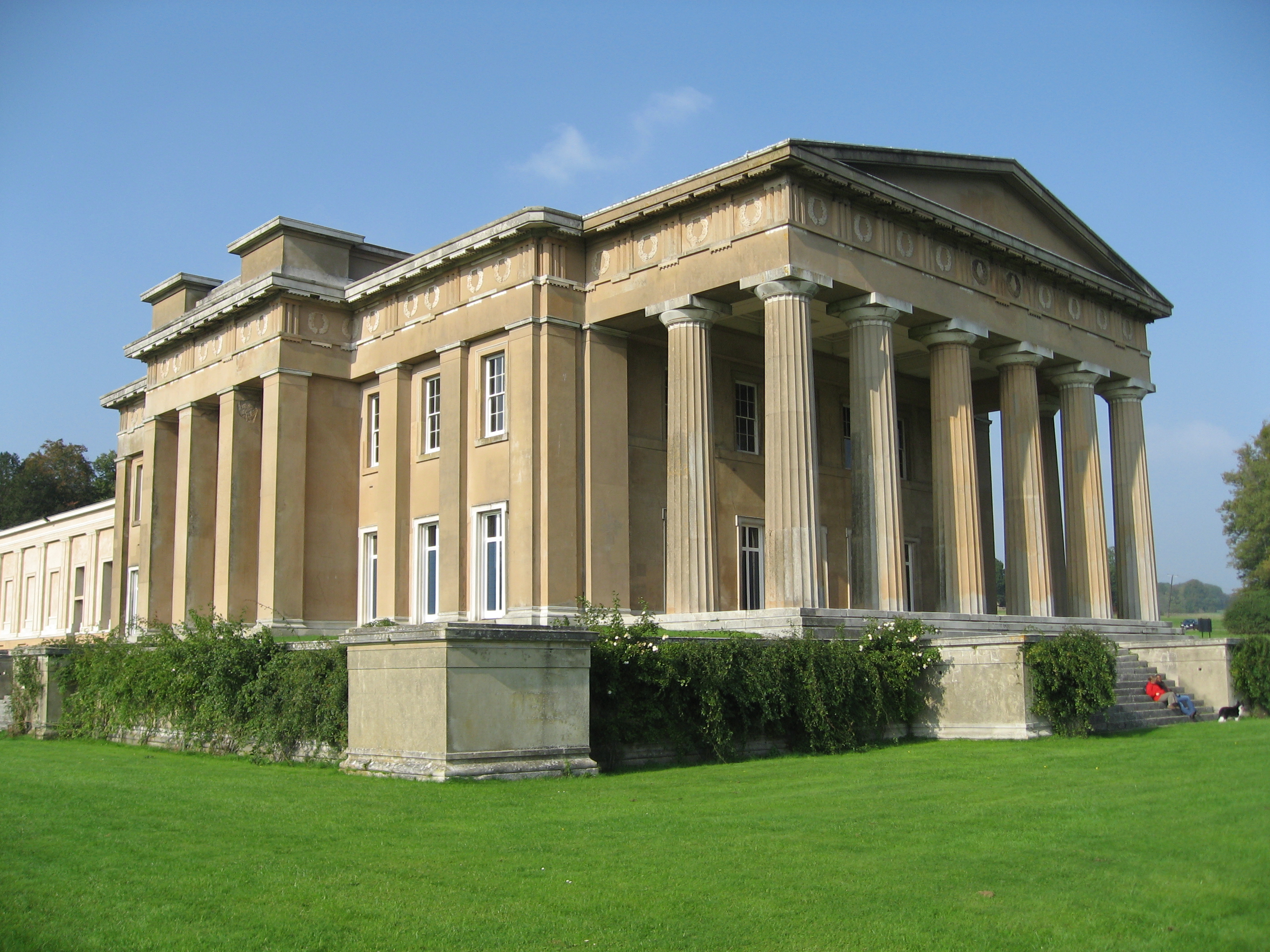
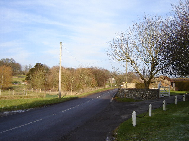
Images are sourced within 2km of 51.128807/-1.1433352 or Grid Reference SU6036. Thanks to Geograph Open Source API. All images are credited.

Farmland, Old Alresford The corner of a field of wheat to the east of Godsfield Copse.
Farmland, Old Alresford
The corner of a field of wheat to the east of Godsfield Copse.
Farmland, Old Alresford A clump of trees in wheat to the north of Armsworth Park.
Farmland, Old Alresford
A clump of trees in wheat to the north of Armsworth Park.
Farm buildings, pasture and woods, Old Alresford Looking down from the footpath climbing southwards from Lower Lanham.
Farm buildings, pasture and woods, Old Alresford
Looking down from the footpath climbing southwards from Lower Lanham.
Farmland, Old Alresford Spring barley with Serivens Copse to the left of picture.
Farmland, Old Alresford
Spring barley with Serivens Copse to the left of picture.
Farmland, Old Alresford A crop of wheat between Lower and Upper Lanham Farms, looking towards the latter.
Farmland, Old Alresford
A crop of wheat between Lower and Upper Lanham Farms, looking towards the latter.
Farmland, Old Alresford A crop of maize below Upper Lanham with the large modern house at Armsworth Hill appearing across the valley.
Farmland, Old Alresford
A crop of maize below Upper Lanham with the large modern house at Armsworth Hill appearing across the valley.
Walkers on Oxdrove Way heading north-east
Walkers on Oxdrove Way
Spybush Lane A public bridleway, 173/7/1, Northington. Used by the Wayfarer's Walk trail.
Spybush Lane
A public bridleway, 173/7/1, Northington. Used by the Wayfarer's Walk trail.
Harvested field north of Swarraton Farm
Common Toadflax by Spybush Lane Linaria vulgaris is a common plant, happy in dry dusty places, but not particularly so here.
Common Toadflax by Spybush Lane
Linaria vulgaris is a common plant, happy in dry dusty places, but not particularly so here.
Buckthorn by Spybush Lane Rhamnus catharticus is a bush I have seldom encountered, but accounts say it is not particularly uncommon. The curving veins of the leaves and general shape are shared with Dogwood, if in doubt pull a leaf apart lengthwise - Buckthorn breaks cleanly, with Dogwood the veins part with an elastic string between the ends. Here the berries are unripe, they later turn black.
Buckthorn by Spybush Lane
Rhamnus catharticus is a bush I have seldom encountered, but accounts say it is not particularly uncommon. The curving veins of the leaves and general shape are shared with Dogwood, if in doubt pull a leaf apart lengthwise - Buckthorn breaks cleanly, with Dogwood the veins part with an elastic string between the ends. Here the berries are unripe, they later turn black.
Campanula by Spybush Lane A tall showy plant, possibly Campanula latifolia, but that is not very common in the south.
Campanula by Spybush Lane
A tall showy plant, possibly Campanula latifolia, but that is not very common in the south.
Spybush Lane A restricted byway over this part. The tall dense tree belt on the right was sport for a remarkable number of Ravens, surfing and tumbling in the up-draft of the west wind. On both my outward and return passes here, they hid themselves away when I got close, and reassembled when I had passed. So no photographs. There must have been at least a dozen.
Spybush Lane
A restricted byway over this part. The tall dense tree belt on the right was sport for a remarkable number of Ravens, surfing and tumbling in the up-draft of the west wind. On both my outward and return passes here, they hid themselves away when I got close, and reassembled when I had passed. So no photographs. There must have been at least a dozen.
Bridleway near Nettlebed Farm, looking east
Farmland, Candovers Oil-seed rape to the south of Chilton Candover.
Farmland, Candovers
Oil-seed rape to the south of Chilton Candover.
Road near Lower Lanham
Pasture near Armsworth Hill Farm
Show me another place!

Abbotstone Wood is located at Grid Ref: SU6036 (Lat: 51.128807, Lng: -1.1433352)

Administrative County: Hampshire

District: Winchester

Police Authority: Hampshire

What 3 Words

///ideas.worlds.detection. Near New Alresford, Hampshire

Related Wikis

Brown Candover

Brown Candover is a village and former civil parish, now in the parish of Candovers, in the Basingstoke and Deane district, in the county of Hampshire...

Bighton

Bighton is a village and civil parish in the City of Winchester district of Hampshire, England. According to the 2011 census it had a population of 341...

Wield

Wield is a civil parish in the East Hampshire district, in the county of Hampshire, England. It includes two neighbouring villages, Upper Wield and Lower...

Swarraton

Swarraton is a small village and former civil parish, now in the parish of Northington, in the City of Winchester district of Hampshire, England. It lies...

Northington

Northington is a village and civil parish in the City of Winchester district of Hampshire, England. It lies half a mile from the neighbouring village,...

Chilton Candover

Chilton Candover is a village and former civil parish, now in the parish of Candovers, in the Basingstoke and Deane district, in the county of Hampshire...

Old Alresford

Old Alresford ( OLZ-fərd or AWLZ-fərd) is a village and civil parish in Hampshire, England. It is 1 km (0.6 miles) north of the town of New Alresford...

Preston Candover Long Barrow

Preston Candover Long Barrow is an unchambered long barrow located near to the village of Preston Candover in the south-eastern English county of Hampshire...

Nearby Amenities

Located within 500m of 51.128807,-1.1433352
Godsfield Manor
Addr Housename: Godsfield Manor
Building: residential
Source: Mapbox
Source Name: road sign
Lat/Long: 51.1296416/-1.1378898
Barrier: bollard
Lat/Long: 51.1295586/-1.1416711
Fairfield House
Addr Housename: Fairfield House
Building: residential
Source: Mapbox;seen on journey
Lat/Long: 51.128775/-1.1363183
Power: pole
Lat/Long: 51.1319425/-1.1386192
Power: pole
Lat/Long: 51.1312743/-1.1383832
Power: pole
Lat/Long: 51.1305236/-1.1379942
Power: pole
Lat/Long: 51.1325619/-1.1398503
Power: pole
Lat/Long: 51.131244/-1.1409339
Power: pole
Lat/Long: 51.1298806/-1.1419693
Power: pole
Lat/Long: 51.1264551/-1.1446059
Power: pole
Lat/Long: 51.1252834/-1.1454856
The data included in this document is from www.openstreetmap.org. The data is made available under ODbL.

Have you been to Abbotstone Wood?

Leave your review of Abbotstone Wood below (or comments, questions and feedback).