Banks Carr Wood
Wood, Forest in Nottinghamshire Bassetlaw
England
Banks Carr Wood
Banks Carr Wood is a picturesque woodland located in Nottinghamshire, England. Situated in the heart of Sherwood Forest, this ancient woodland covers an area of approximately 400 hectares. It is known for its dense foliage, tall trees, and diverse ecosystem.
The wood is predominantly composed of oak and birch trees, with occasional pockets of holly and beech trees. The dense canopy provides shelter for a variety of bird species, including woodpeckers, owls, and thrushes. The woodland floor is adorned with an array of wildflowers, such as bluebells, primroses, and wild garlic, which create a vibrant and colorful display during the spring and summer months.
Banks Carr Wood is also home to a diverse range of wildlife. Deer, foxes, badgers, and squirrels are commonly spotted in the wood, adding to its natural charm. The wood is a designated Site of Special Scientific Interest (SSSI) due to its ecological importance and historical significance.
Visitors to Banks Carr Wood can enjoy a range of activities. There are numerous walking trails that wind through the woodland, allowing visitors to explore the beauty of the forest and observe its flora and fauna. The wood is also a popular destination for birdwatching and nature photography.
Overall, Banks Carr Wood is a tranquil and enchanting woodland that offers a peaceful escape from the hustle and bustle of daily life. Its rich biodiversity and natural beauty make it a cherished destination for nature enthusiasts and a valuable ecological resource in the Nottinghamshire area.
If you have any feedback on the listing, please let us know in the comments section below.
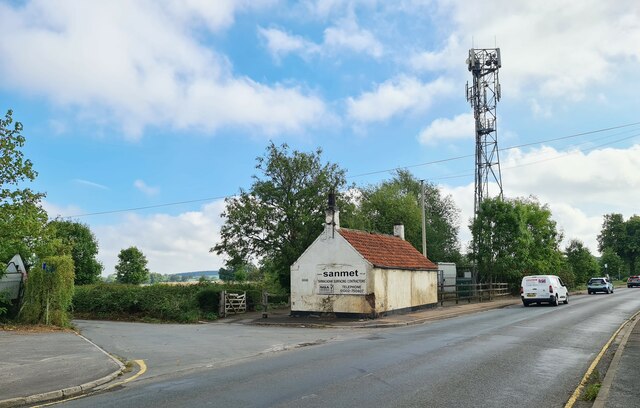
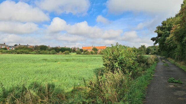
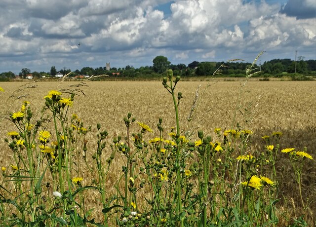
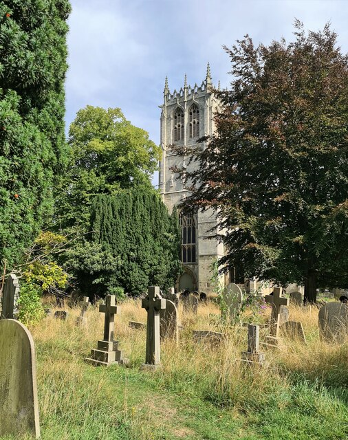
Banks Carr Wood Images
Images are sourced within 2km of 53.416189/-1.099675 or Grid Reference SK5991. Thanks to Geograph Open Source API. All images are credited.


Banks Carr Wood is located at Grid Ref: SK5991 (Lat: 53.416189, Lng: -1.099675)
Administrative County: Nottinghamshire
District: Bassetlaw
Police Authority: Nottinghamshire
What 3 Words
///heightens.poodle.longingly. Near Tickhill, South Yorkshire
Nearby Locations
Related Wikis
Styrrup
Styrrup is a village in the civil parish of Styrrup with Oldcotes on the B6463 road in the Bassetlaw district, in the English county of Nottinghamshire...
Tickhill Castle
Tickhill Castle was a castle in Tickhill, in South Yorkshire, England and a prominent stronghold during the reign of King John. == Early history == The...

Harworth
Harworth is an area and former civil parish, now in the parish of Harworth Bircotes (with Bircotes) in the Bassetlaw district in Nottinghamshire, England...
Harworth Bircotes
Harworth Bircotes or Harworth and Bircotes is a town and civil parish in the Bassetlaw district of Nottinghamshire in the East Midlands of England. The...
St Mary's Church, Tickhill
St Mary's Church is a Grade I listed Anglican church in Tickhill, South Yorkshire, England. Dating from the early 12th century and built with local Magnesian...
Tickhill
Tickhill is a market town and civil parish in the City of Doncaster, South Yorkshire, England, close to the border with Nottinghamshire. At the 2001 census...

Strafforth and Tickhill
Strafforth and Tickhill , originally known as Strafforth, was the southernmost wapentake in the West Riding of Yorkshire, England. The west of the district...

Tickhill Friary
Tickhill Friary was an Augustinian friary in Tickhill, South Yorkshire, England. John Clarel, a canon of Southwell, founded it about 1260. It was dissolved...
Nearby Amenities
Located within 500m of 53.416189,-1.099675Have you been to Banks Carr Wood?
Leave your review of Banks Carr Wood below (or comments, questions and feedback).