Banks Carr Plantation
Wood, Forest in Nottinghamshire Bassetlaw
England
Banks Carr Plantation

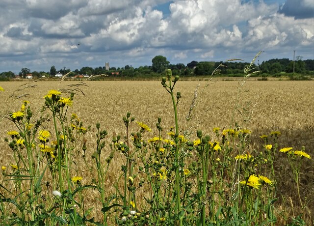
Banks Carr Plantation is a picturesque woodland located in Nottinghamshire, England. Situated on the outskirts of the village of Wood, the plantation covers an area of approximately 200 acres, making it an ideal destination for nature enthusiasts and outdoor lovers.
The plantation, known for its dense forest and rich biodiversity, is managed by the local authorities with the aim of preserving its natural beauty and protecting the various species that call it home. The woodland is predominantly composed of broadleaf trees, including oak, beech, and birch, creating a stunning canopy that provides shade and shelter for a variety of wildlife.
Walking through Banks Carr Plantation, visitors can enjoy a tranquil and peaceful atmosphere, immersing themselves in the beauty of nature. There are several well-maintained trails that wind their way through the plantation, allowing visitors to explore the woodland at their own pace. These paths offer breathtaking views of the surrounding countryside and provide opportunities for bird watching and wildlife spotting.
The plantation is also home to a diverse range of flora, with wildflowers carpeting the forest floor during the spring and summer months. This vibrant display of colors adds to the charm and beauty of Banks Carr Plantation.
Overall, Banks Carr Plantation in Nottinghamshire offers a serene escape from the hustle and bustle of daily life. Its natural beauty, diverse wildlife, and peaceful ambiance make it a must-visit destination for anyone seeking a connection with nature.
If you have any feedback on the listing, please let us know in the comments section below.
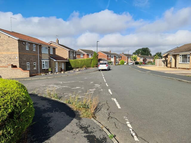
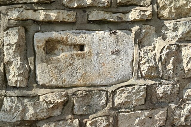
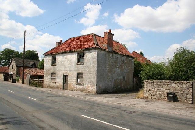
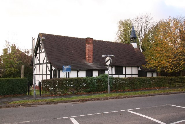
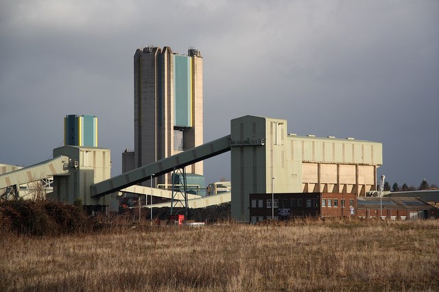
Banks Carr Plantation Images
Images are sourced within 2km of 53.413183/-1.1015288 or Grid Reference SK5991. Thanks to Geograph Open Source API. All images are credited.


Banks Carr Plantation is located at Grid Ref: SK5991 (Lat: 53.413183, Lng: -1.1015288)
Administrative County: Nottinghamshire
District: Bassetlaw
Police Authority: Nottinghamshire
What 3 Words
///happen.swerves.mallets. Near Tickhill, South Yorkshire
Nearby Locations
Related Wikis
Styrrup
Styrrup is a village in the civil parish of Styrrup with Oldcotes on the B6463 road in the Bassetlaw district, in the English county of Nottinghamshire...
Styrrup with Oldcotes
Styrrup with Oldcotes is a civil parish in the Bassetlaw district, within the county of Nottinghamshire, England. The overall area had a population of...

Harworth
Harworth is an area and former civil parish, now in the parish of Harworth Bircotes (with Bircotes) in the Bassetlaw district in Nottinghamshire, England...
Harworth Bircotes
Harworth Bircotes or Harworth and Bircotes is a town and civil parish in the Bassetlaw district of Nottinghamshire in the East Midlands of England. The...
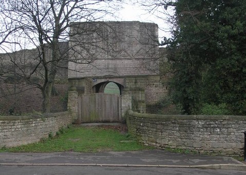
Tickhill Castle
Tickhill Castle was a castle in Tickhill, in South Yorkshire, England and a prominent stronghold during the reign of King John. == Early history == The...
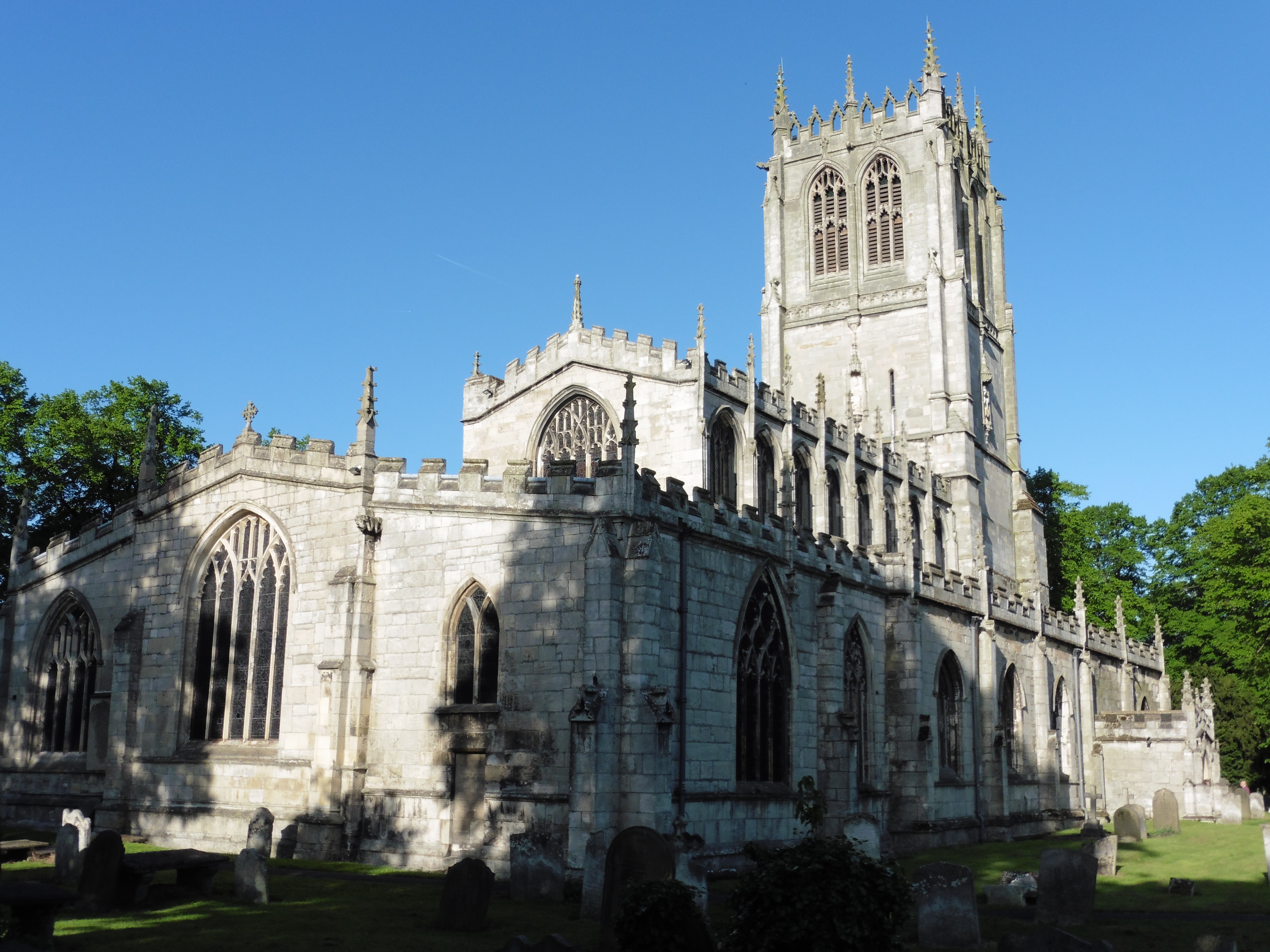
St Mary's Church, Tickhill
St Mary's Church is a Grade I listed Anglican church in Tickhill, South Yorkshire, England. Dating from the early 12th century and built with local Magnesian...

Tickhill Friary
Tickhill Friary was an Augustinian friary in Tickhill, South Yorkshire, England. John Clarel, a canon of Southwell, founded it about 1260. It was dissolved...
Tickhill
Tickhill is a market town and civil parish in the City of Doncaster, South Yorkshire, England, close to the border with Nottinghamshire. At the 2001 census...
Nearby Amenities
Located within 500m of 53.413183,-1.1015288Have you been to Banks Carr Plantation?
Leave your review of Banks Carr Plantation below (or comments, questions and feedback).