Hethe Spinney
Wood, Forest in Oxfordshire Cherwell
England
Hethe Spinney

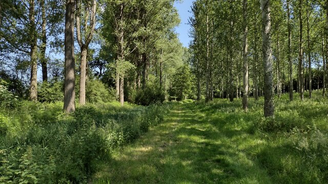
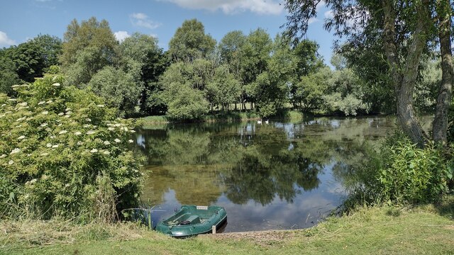
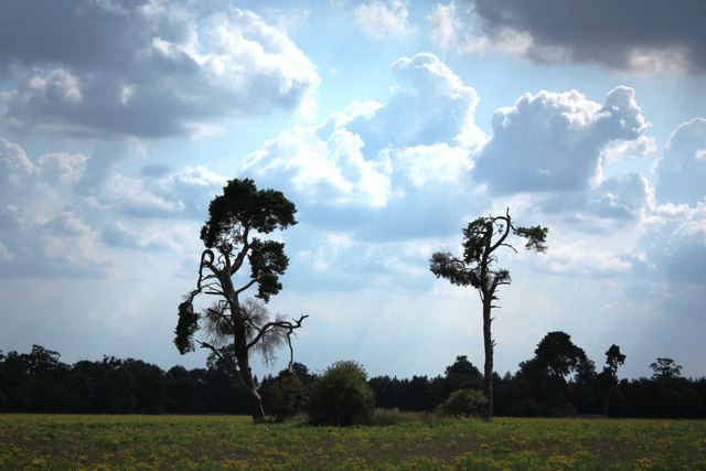
Hethe Spinney is a small woodland area located in the county of Oxfordshire, England. Situated near the village of Hethe, the spinney covers an area of approximately 10 acres. It is a popular destination for nature enthusiasts and locals seeking a peaceful retreat amidst nature.
The spinney is primarily composed of deciduous trees, including oak, birch, and beech, which provide a dense canopy and create a serene atmosphere. The woodland floor is covered with a variety of wildflowers and ferns, adding to the natural beauty of the area. Numerous bird species can be found in the spinney, making it a haven for birdwatchers. Common sightings include blackbirds, blue tits, and woodpeckers.
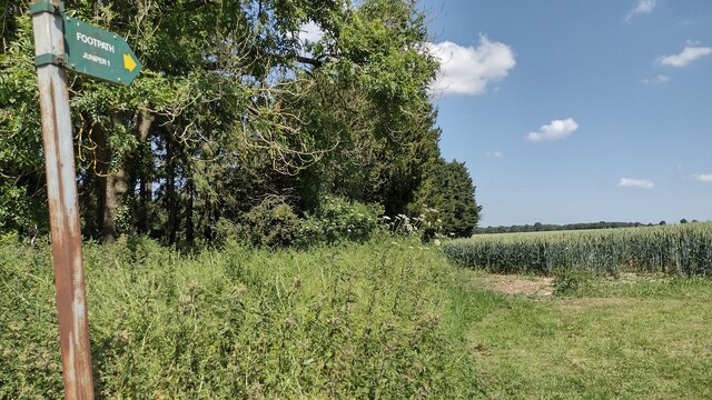
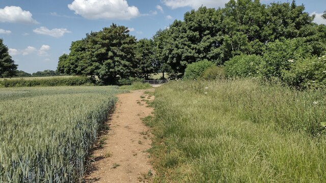
There are well-maintained footpaths that wind through the spinney, allowing visitors to explore the woodland and discover its hidden treasures. The paths are suitable for walkers of all ages and abilities, although some areas may be slightly uneven or muddy during wet weather. Benches and picnic tables are scattered throughout, offering ideal spots to take a break and enjoy the peaceful surroundings.
Hethe Spinney is also home to a diverse range of wildlife, including foxes, squirrels, and rabbits. It provides a vital habitat for these creatures, as well as insects and small mammals. Conservation efforts have been made to preserve and protect the woodland, ensuring it remains a haven for wildlife for generations to come.
Overall, Hethe Spinney is a charming woodland area in Oxfordshire, offering visitors a tranquil escape from the bustling city life. With its beautiful trees, varied wildlife, and well-maintained footpaths, it is a perfect destination for nature lovers and those seeking a peaceful retreat in the heart of the countryside.
If you have any feedback on the listing, please let us know in the comments section below.
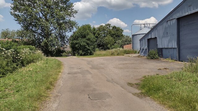
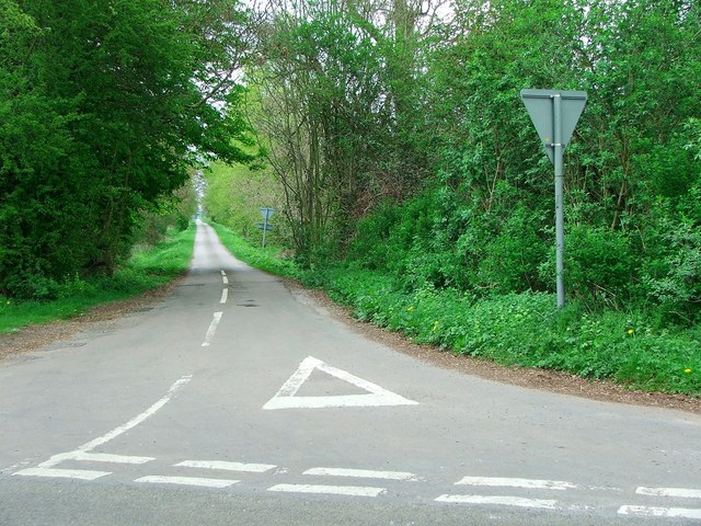
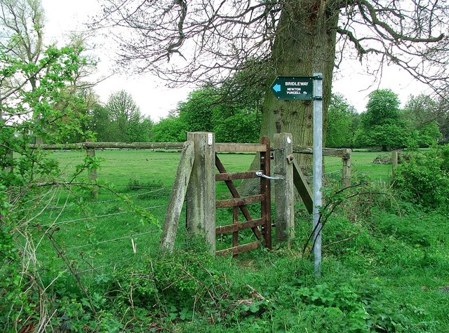
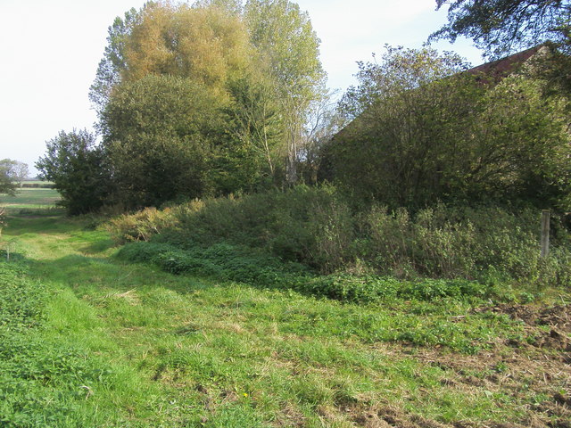
Hethe Spinney Images
Images are sourced within 2km of 51.969341/-1.129473 or Grid Reference SP5930. Thanks to Geograph Open Source API. All images are credited.

Hethe Spinney is located at Grid Ref: SP5930 (Lat: 51.969341, Lng: -1.129473)
Administrative County: Oxfordshire
District: Cherwell
Police Authority: Thames Valley
What 3 Words
///jeering.voter.depth. Near Tingewick, Buckinghamshire
Nearby Locations
Related Wikis

Shelswell
Shelswell is a hamlet in Oxfordshire about 4 miles (6.4 km) south of Brackley in neighbouring Northamptonshire. == Manor == Shelswell's toponym comes from...

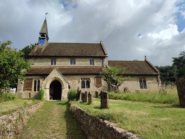
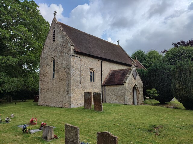
Hethe
Hethe is a village and civil parish about 4.5 miles (7.2 km) north of Bicester in Oxfordshire, England. == Manor == The village's toponym comes from the...

Cottisford
Cottisford is a village and civil parish in Oxfordshire, about 3.5 miles (5.6 km) south of Brackley in neighbouring Northamptonshire. The parish's northern...

Fringford
Fringford is a village and civil parish in Oxfordshire, about 4 miles (6.4 km) northeast of Bicester. The parish is bounded to the east by the Roman road...
Newton Purcell with Shelswell
Newton Purcell with Shelswell is a civil parish in Oxfordshire, England. It was formed in 1932 by merger of the parishes of Newton Purcell (grid reference...

Hardwick, Cherwell
Hardwick is a village in the civil parish of Hardwick with Tusmore about 4.5 miles (7 km) north of Bicester in Oxfordshire. == Manor == The village's toponym...

Newton Purcell
Newton Purcell is a village in the civil parish of Newton Purcell with Shelswell, in the Cherwell district, in the county of Oxfordshire, England, 4+1...
Juniper Hill
Juniper Hill is a hamlet in the civil parish of Cottisford in Oxfordshire, England, 2 miles (3.2 km) south of Brackley in neighbouring Northamptonshire...
Nearby Amenities
Located within 500m of 51.969341,-1.129473Have you been to Hethe Spinney?
Leave your review of Hethe Spinney below (or comments, questions and feedback).