The Belt
Wood, Forest in Oxfordshire Cherwell
England
The Belt

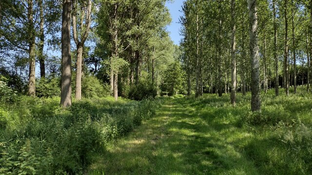
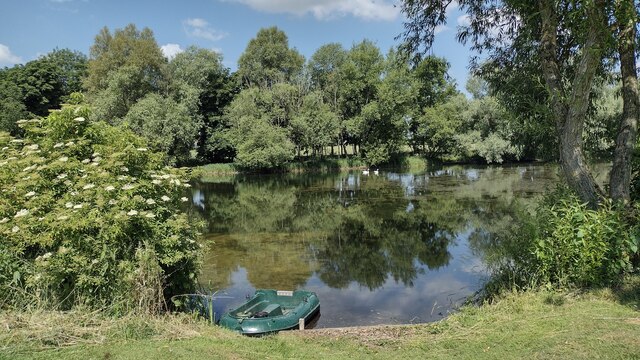
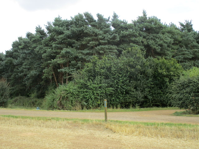
The Belt, Oxfordshire, is a picturesque woodland area located in the heart of England. Spanning over 200 acres, it is known for its serene atmosphere and abundant natural beauty. The Belt is situated near the village of Wood and is often referred to as the Wood Forest due to its dense collection of trees.
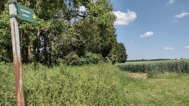
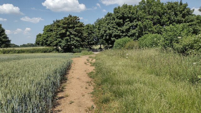
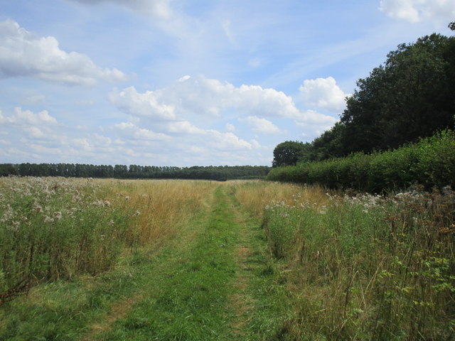
The woodland is home to a wide variety of tree species, including oak, beech, and pine, creating a diverse and vibrant ecosystem. The trees provide shelter to a range of wildlife, such as deer, squirrels, and a variety of bird species. Nature enthusiasts can explore the numerous walking trails that wind through the forest, offering breathtaking views of the surrounding countryside.
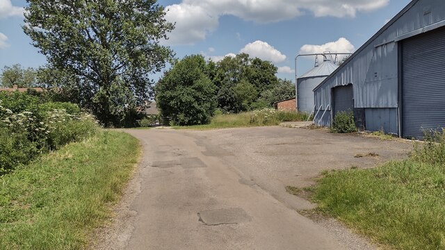
The Belt has a rich history, dating back centuries. It was once a royal hunting ground and later became a source of timber for local communities. Today, it is managed by a conservation trust that aims to preserve its natural beauty and protect the flora and fauna that call it home.
Visitors to The Belt can enjoy a range of activities, including hiking, birdwatching, and nature photography. There are also designated picnic areas, allowing visitors to take in the tranquility of the forest while enjoying a meal surrounded by nature.
Whether seeking solitude, a connection with nature, or a place to explore, The Belt in Oxfordshire offers an idyllic retreat for individuals of all ages.
If you have any feedback on the listing, please let us know in the comments section below.
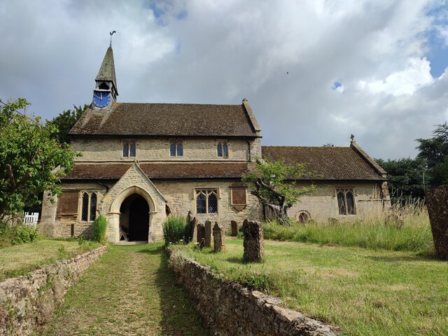
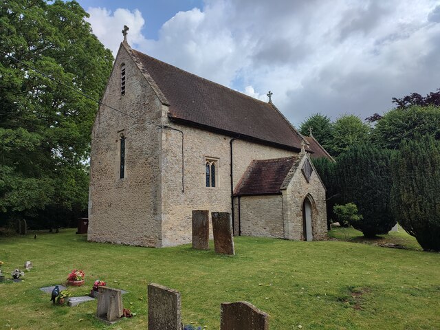
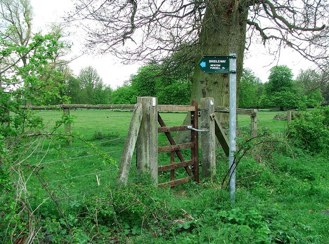
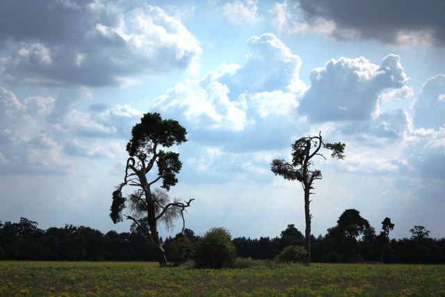
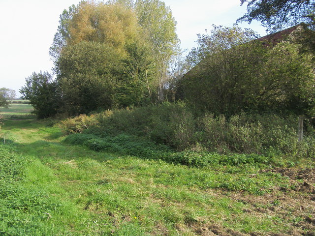
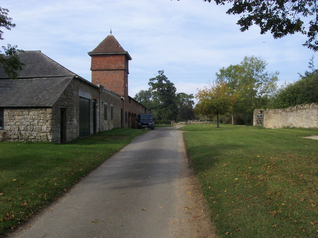
The Belt Images
Images are sourced within 2km of 51.973638/-1.1355623 or Grid Reference SP5930. Thanks to Geograph Open Source API. All images are credited.

The Belt is located at Grid Ref: SP5930 (Lat: 51.973638, Lng: -1.1355623)
Administrative County: Oxfordshire
District: Cherwell
Police Authority: Thames Valley
What 3 Words
///messy.circling.asleep. Near Tingewick, Buckinghamshire
Nearby Locations
Related Wikis

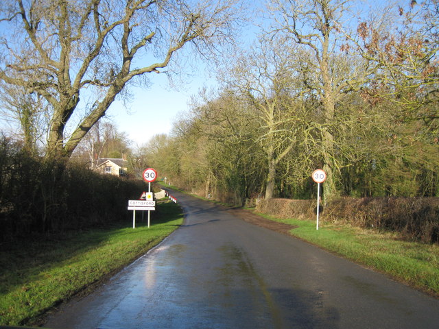
Cottisford
Cottisford is a village and civil parish in Oxfordshire, about 3.5 miles (5.6 km) south of Brackley in neighbouring Northamptonshire. The parish's northern...

Shelswell
Shelswell is a hamlet in Oxfordshire about 4 miles (6.4 km) south of Brackley in neighbouring Northamptonshire. == Manor == Shelswell's toponym comes from...

Hethe
Hethe is a village and civil parish about 4.5 miles (7.2 km) north of Bicester in Oxfordshire, England. == Manor == The village's toponym comes from the...
Juniper Hill
Juniper Hill is a hamlet in the civil parish of Cottisford in Oxfordshire, England, 2 miles (3.2 km) south of Brackley in neighbouring Northamptonshire...

Hardwick, Cherwell
Hardwick is a village in the civil parish of Hardwick with Tusmore about 4.5 miles (7 km) north of Bicester in Oxfordshire. == Manor == The village's toponym...

Fringford
Fringford is a village and civil parish in Oxfordshire, about 4 miles (6.4 km) northeast of Bicester. The parish is bounded to the east by the Roman road...
Newton Purcell with Shelswell
Newton Purcell with Shelswell is a civil parish in Oxfordshire, England. It was formed in 1932 by merger of the parishes of Newton Purcell (grid reference...
Hardwick with Tusmore
Hardwick with Tusmore is a civil parish in Oxfordshire, England. It was formed in 1932 by merger of the parishes of Hardwick (grid reference SP5729) and...
Nearby Amenities
Located within 500m of 51.973638,-1.1355623Have you been to The Belt?
Leave your review of The Belt below (or comments, questions and feedback).