Acre Grain Plantation
Wood, Forest in Yorkshire Ryedale
England
Acre Grain Plantation
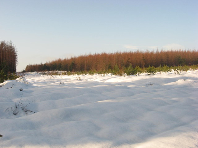
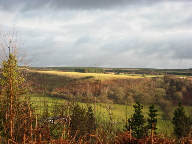
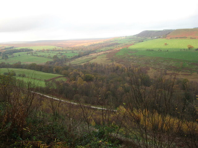
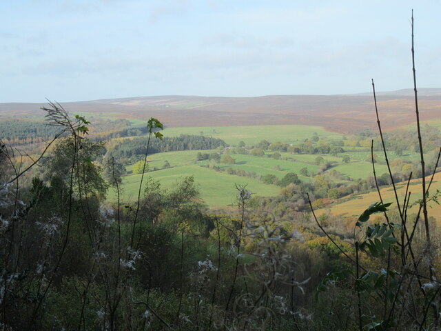
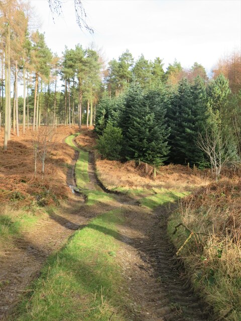
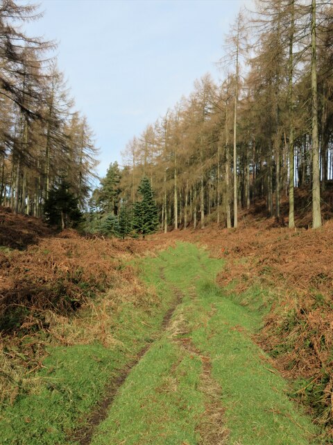
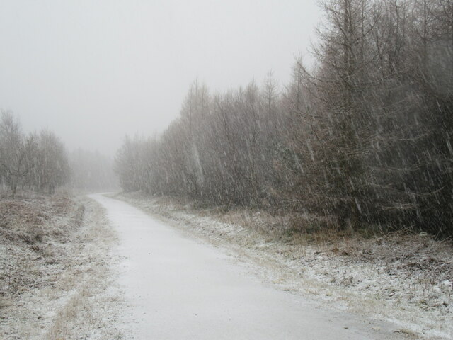
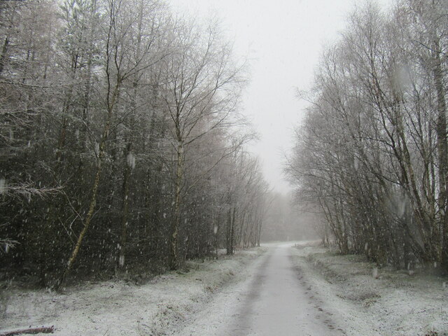
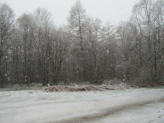
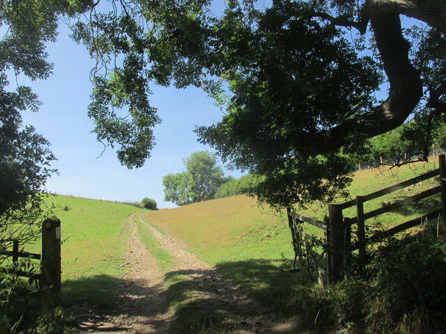
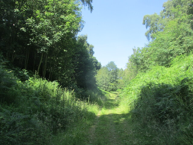
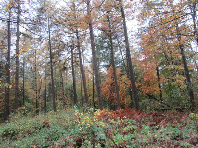
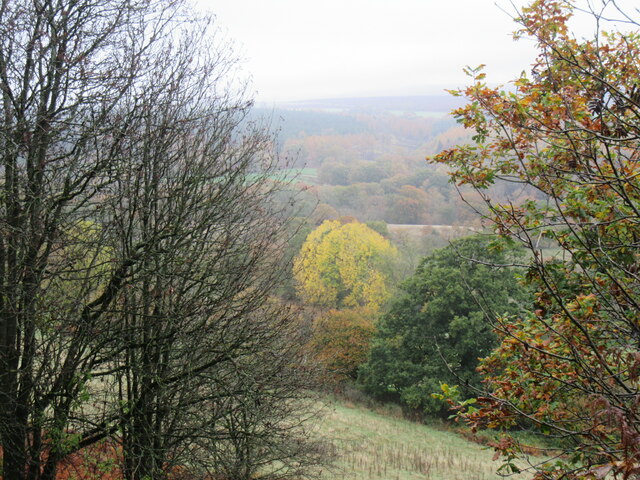
Acre Grain Plantation is a sprawling woodland located in Yorkshire, England. Covering an area of approximately 200 acres, it is known for its dense forest and abundance of grain-producing plants. The plantation is a vital part of the region's agricultural sector, contributing significantly to the local economy.
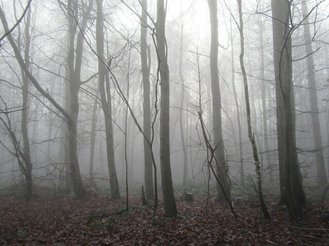
The woodland is characterized by a diverse range of tree species, including oak, beech, and pine, creating a rich and vibrant ecosystem. These trees provide an ideal habitat for a variety of wildlife, such as deer, squirrels, and numerous bird species, making Acre Grain Plantation a haven for nature enthusiasts and birdwatchers.
The main focus of the plantation is the cultivation of grain crops, including wheat, barley, and oats. The fertile soil and favorable climate of the region make it an ideal location for these crops to thrive. Modern farming techniques and machinery are employed to ensure efficient and high-quality grain production.
Acre Grain Plantation plays a crucial role in supplying the local market with high-quality grains, which are used in various industries, including baking, brewing, and animal feed. The plantation also contributes to the sustainability of the area by implementing environmentally friendly practices, such as crop rotation and soil conservation.
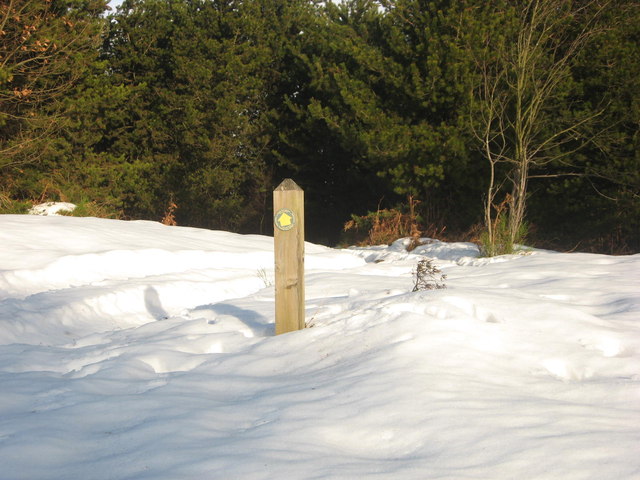
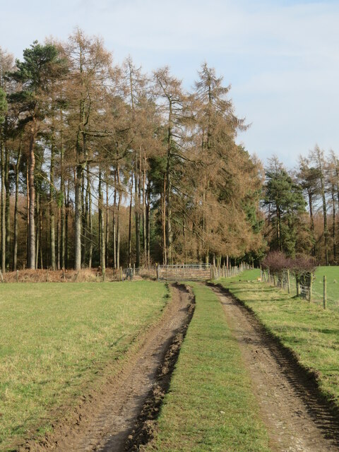
Visitors to Acre Grain Plantation can enjoy the scenic beauty of the woodland through designated walking trails and guided tours. The plantation also hosts educational programs for schools and colleges, promoting awareness about sustainable agriculture and the importance of preserving natural habitats.
Overall, Acre Grain Plantation stands as a testament to the agricultural heritage of Yorkshire, providing a productive and environmentally conscious approach to grain cultivation while preserving the natural beauty of the woodland.
If you have any feedback on the listing, please let us know in the comments section below.
Acre Grain Plantation Images
Images are sourced within 2km of 54.286996/-1.089167 or Grid Reference SE5988. Thanks to Geograph Open Source API. All images are credited.

Acre Grain Plantation is located at Grid Ref: SE5988 (Lat: 54.286996, Lng: -1.089167)
Division: North Riding
Administrative County: North Yorkshire
District: Ryedale
Police Authority: North Yorkshire
What 3 Words
///romantics.gather.coconuts. Near Helmsley, North Yorkshire
Nearby Locations
Related Wikis

Rievaulx Terrace
Rievaulx Terrace is a site located in the North York Moors National Park, in North Yorkshire, England, overlooking Rievaulx Abbey and owned by the National...

Swiss Cottage, Rievaulx
Swiss Cottage is a Grade II listed building in the English village of Rievaulx, North Yorkshire. It dates to at least the 17th century, with earlier origins...

Rievaulx
Rievaulx (usually pronounced REE-voh) is a small village and civil parish in Rye Dale within the North York Moors National Park near Helmsley in North...

Rievaulx Abbey
Rievaulx Abbey ( ree-VOH) was a Cistercian abbey in Rievaulx, near Helmsley, in the North York Moors National Park, North Yorkshire, England. It was one...

Laskill
Laskill is a small hamlet in Bilsdale, 5 miles (8 km) north-west of Helmsley, North Yorkshire, England, on the road from Helmsley to Stokesley and is located...
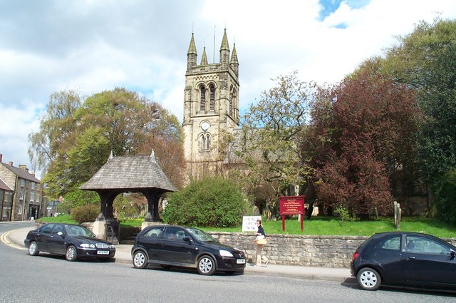
Church of All Saints, Helmsley
The Church of All Saints is an Anglican parish church serving the town of Helmsley in North Yorkshire, England. It is located between the north-west corner...

Helmsley Town Hall
Helmsley Town Hall is a municipal building in the Market Place in Helmsley, North Yorkshire, England. The structure, which is used as a community library...

Pockley
Pockley is a small village and civil parish in North Yorkshire, England. It is about 1 mile north-east of Helmsley turning north from the A170 road. Its...
Nearby Amenities
Located within 500m of 54.286996,-1.089167Have you been to Acre Grain Plantation?
Leave your review of Acre Grain Plantation below (or comments, questions and feedback).