Round Plantation

Wood, Forest in Nottinghamshire Gedling

England

Round Plantation

Footpath near Calverton The path is going round a site on the left which will bring a large housing expansion of Calverton.
Footpath near Calverton Credit: Bill Boaden

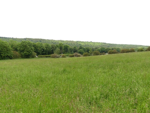
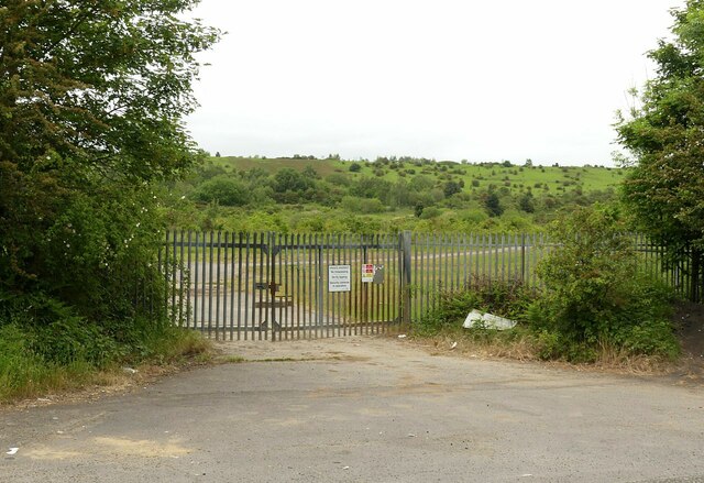
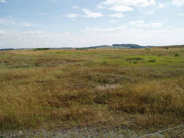
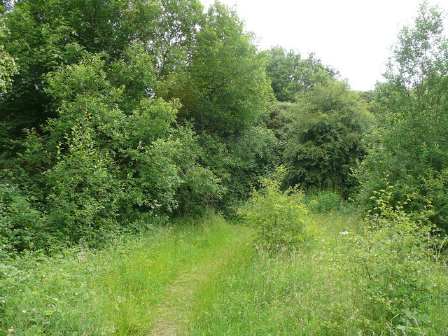
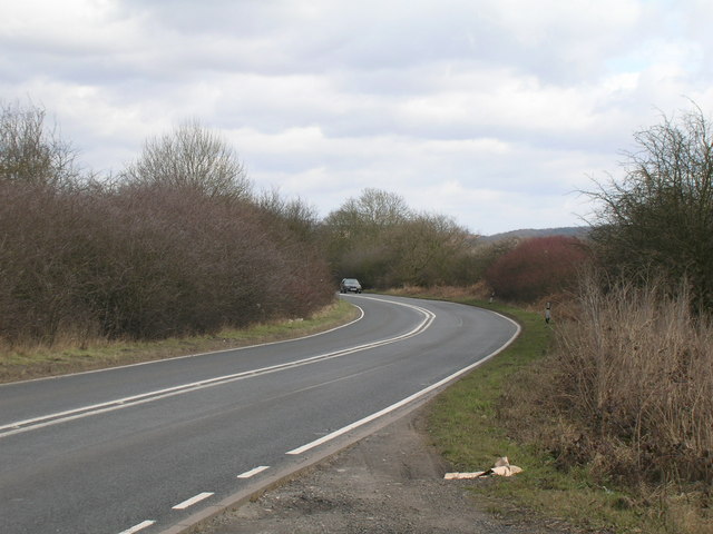
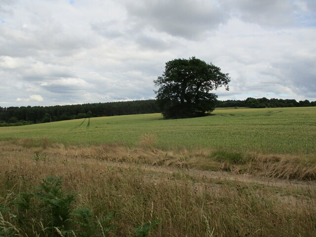
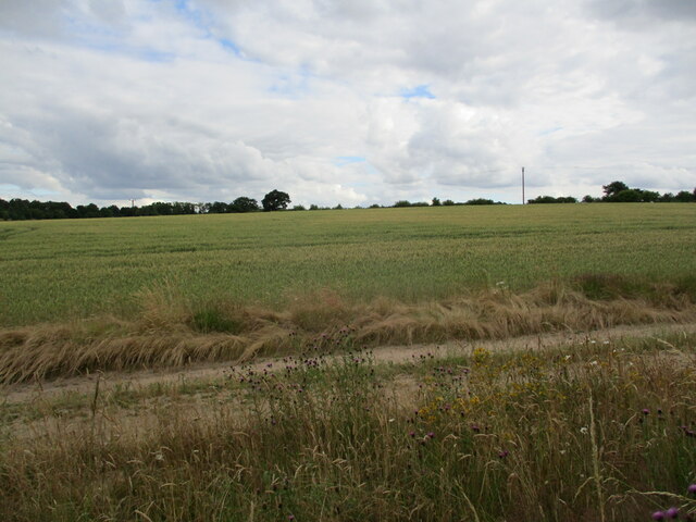
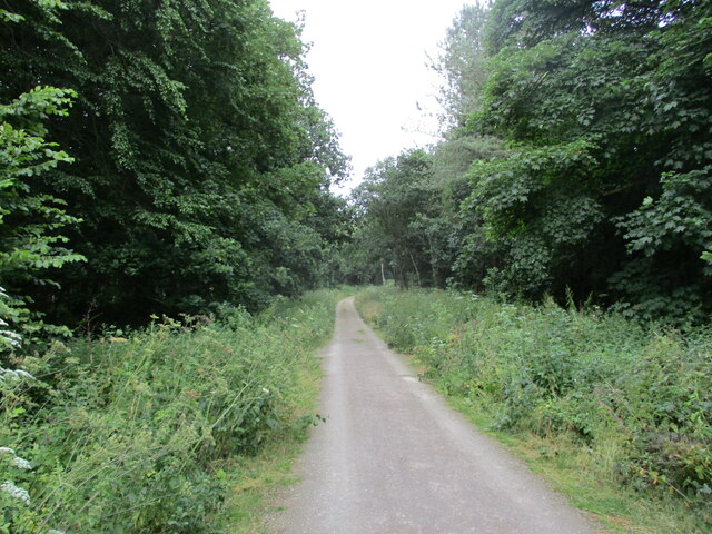
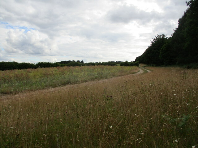
Round Plantation is a woodland area located in Nottinghamshire, England. Spread over a vast expanse, it is nestled within the scenic landscape of the county. The plantation is known for its dense forest cover and is a significant part of the region's natural heritage.

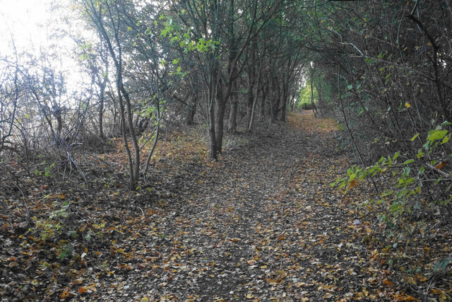
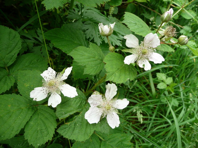
The woodland is characterized by a variety of tree species, including oak, beech, and birch, which contribute to its rich biodiversity. The trees create a canopy that provides shade and shelter, attracting a wide range of wildlife. Birds such as woodpeckers, owls, and thrushes can often be spotted flitting among the branches, while small mammals like squirrels and rabbits scurry through the undergrowth.

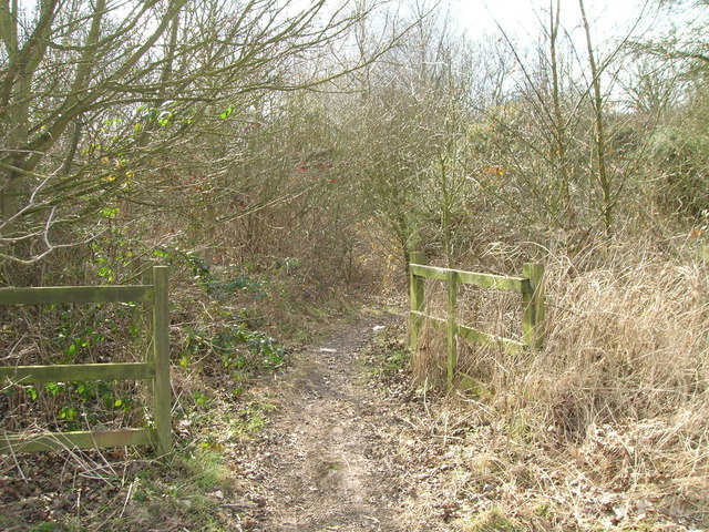
Round Plantation offers a tranquil environment for nature enthusiasts and outdoor enthusiasts alike. It provides ample opportunities for walking, hiking, and birdwatching, with well-maintained trails winding through its picturesque surroundings. The plantation also serves as a popular destination for families and individuals seeking a peaceful retreat from the bustling city life.

The woodland has a long history, dating back several centuries. It has witnessed the ebb and flow of time, remaining a constant presence in the changing landscape of Nottinghamshire. The plantation's scenic beauty and natural charm make it a cherished spot for locals and visitors alike, attracting nature lovers and photographers from far and wide.

Round Plantation, Nottinghamshire, is a verdant oasis that showcases the natural splendor of England's woodlands. With its diverse ecosystem and serene atmosphere, it serves as a haven for both flora and fauna, offering a respite from the urban environment and a chance to reconnect with nature.

If you have any feedback on the listing, please let us know in the comments section below.

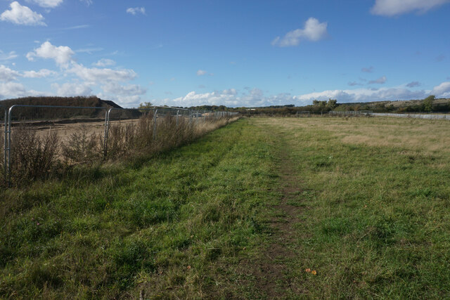
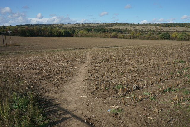
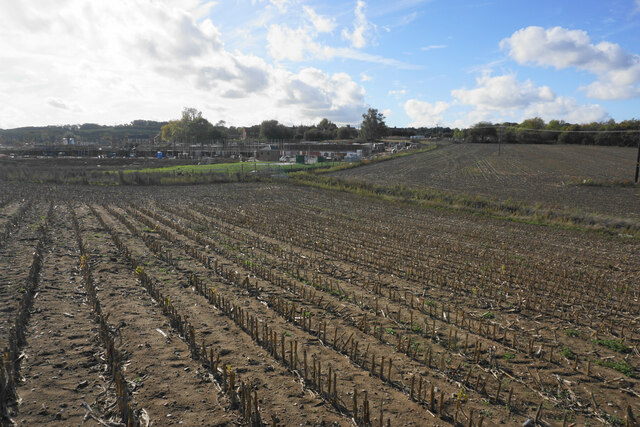
Round Plantation Images

Images are sourced within 2km of 53.044338/-1.1204321 or Grid Reference SK5950. Thanks to Geograph Open Source API. All images are credited.

Footpath near Calverton The path is going round a site on the left which will bring a large housing expansion of Calverton.
Footpath near Calverton
The path is going round a site on the left which will bring a large housing expansion of Calverton.
Footpath near Calverton Moving away from the village. The high ground ahead was the tip of the former colliery. The last crop in this field was sweetcorn.
Footpath near Calverton
Moving away from the village. The high ground ahead was the tip of the former colliery. The last crop in this field was sweetcorn.
Stubble field near Calverton A former crop of sweetcorn. Beyond the field is the north west expansion of housing in Calverton.
Stubble field near Calverton
A former crop of sweetcorn. Beyond the field is the north west expansion of housing in Calverton.
Footpath to Calverton A new location for a supermarket trolley.
Footpath to Calverton
A new location for a supermarket trolley.
Byway to Calverton Not suitable for vehicles.
Byway to Calverton
Not suitable for vehicles.
Post industrial landscape near Calverton 50 years ago, the view would have been dominated by the winding towers and coal washing plant of Calverton Colliery. The hillside in the background is largely artificial, formed by the colliery spoil tip.
Post industrial landscape near Calverton
50 years ago, the view would have been dominated by the winding towers and coal washing plant of Calverton Colliery. The hillside in the background is largely artificial, formed by the colliery spoil tip.
Post industrial landscape near Calverton Former colliery entrance gates. Despite the fence along the road, the area is largely freely accessible. The upper slopes of the former waste tip in the background have been taken over by the Forestry Commission and are designated Open Access Land.
Post industrial landscape near Calverton
Former colliery entrance gates. Despite the fence along the road, the area is largely freely accessible. The upper slopes of the former waste tip in the background have been taken over by the Forestry Commission and are designated Open Access Land.
Oxton Road Recreating this 'First' for the square <a title="https://www.geograph.org.uk/photo/36791" href="https://www.geograph.org.uk/photo/36791">Link</a>
Oxton Road
Recreating this 'First' for the square Link
Oxton Road On the edge of Calverton, near the old mine
Oxton Road
On the edge of Calverton, near the old mine
Calverton slag heap Near the top of the reclaimed slag heap from Calverton coal mine
Calverton slag heap
Near the top of the reclaimed slag heap from Calverton coal mine
Overgrown track The link between Calverton and the Oxton Road is passable only for those on foot.
Overgrown track
The link between Calverton and the Oxton Road is passable only for those on foot.
Wild blackberry in flower Rubus fruticosus showing well how closely related to the rose this plant is.
Wild blackberry in flower
Rubus fruticosus showing well how closely related to the rose this plant is.
Byway of the B6386
Byway of the B6386
B6386 Oxton Road
B6386 Oxton Road
Isolated tree near Sansom Wood Watchwood Plantation in the distance.
Isolated tree near Sansom Wood
Watchwood Plantation in the distance.
Wheat field near Sansom Wood
Track in Sansom Wood This is also a public footpath.
Track in Sansom Wood
This is also a public footpath.
Farm track alongside Sansom Wood
Show me another place!

Round Plantation is located at Grid Ref: SK5950 (Lat: 53.044338, Lng: -1.1204321)

Administrative County: Nottinghamshire

District: Gedling

Police Authority: Nottinghamshire

What 3 Words

///powering.gobbling.discusses. Near Calverton, Nottinghamshire

Nearby Locations

Round Plantation

Related Wikis

Arnold Town F.C.

Arnold Town Football Club is a football club based in Arnold, Nottinghamshire, England. They are currently members of the Central Midlands League South...

Calverton Miners' Welfare F.C.

Calverton Miners' Welfare Football Club is an association football club in Calverton, near Nottingham, Nottinghamshire, England. They are currently members...

Bestwood Pumping Station

Bestwood Pumping Station was a water pumping station operating in Nottinghamshire from 1874 until 1964. == History == Bestwood Pumping Station was built...

Papplewick Pumping Station

Papplewick Pumping Station, situated in open agricultural land approximately 3 miles (4.8 km) by road from the Nottinghamshire village of Papplewick, was...

Nearby Amenities

Located within 500m of 53.044338,-1.1204321
Power: pole
Lat/Long: 53.0427096/-1.1136532
Power: pole
Lat/Long: 53.0424548/-1.114659
Power: pole
Lat/Long: 53.0421016/-1.116043
Power: pole
Lat/Long: 53.0417259/-1.1176175
Power: pole
Lat/Long: 53.0413292/-1.1192375
Power: pole
Lat/Long: 53.0408647/-1.1205465
Power: pole
Lat/Long: 53.0404422/-1.121732
Power: pole
Lat/Long: 53.0406422/-1.1223972
Power: pole
Lat/Long: 53.0410969/-1.1210614
Power: pole
Lat/Long: 53.0415291/-1.1198813
Power: pole
Lat/Long: 53.0420258/-1.117655
Power: pole
Lat/Long: 53.0426918/-1.1147341
Power: pole
Lat/Long: 53.0430256/-1.1133796
The data included in this document is from www.openstreetmap.org. The data is made available under ODbL.

Have you been to Round Plantation?

Leave your review of Round Plantation below (or comments, questions and feedback).