Barton Copse
Wood, Forest in Hampshire Winchester
England
Barton Copse
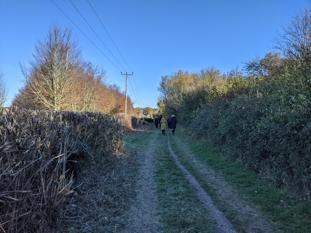
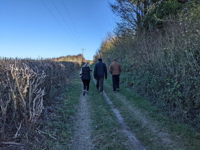
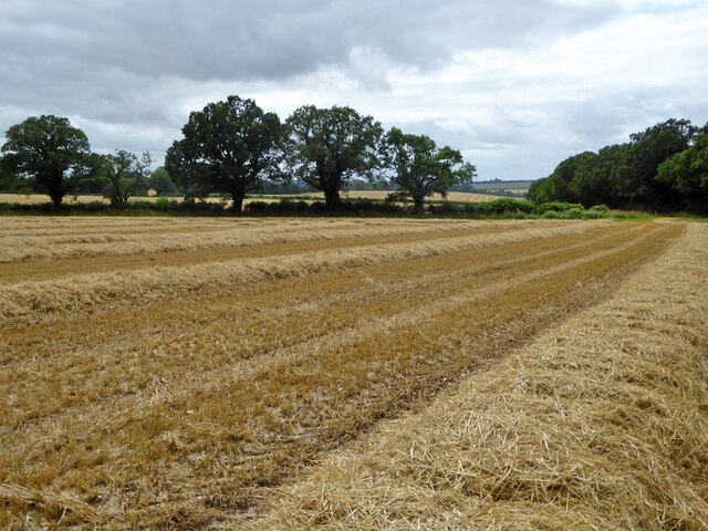
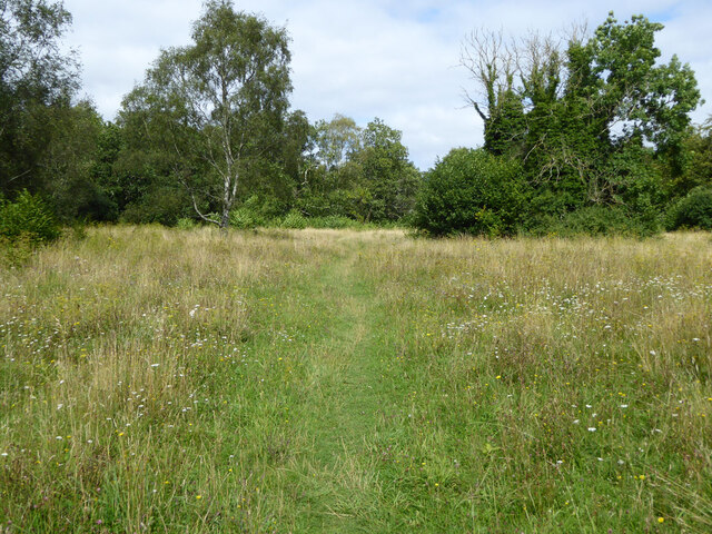
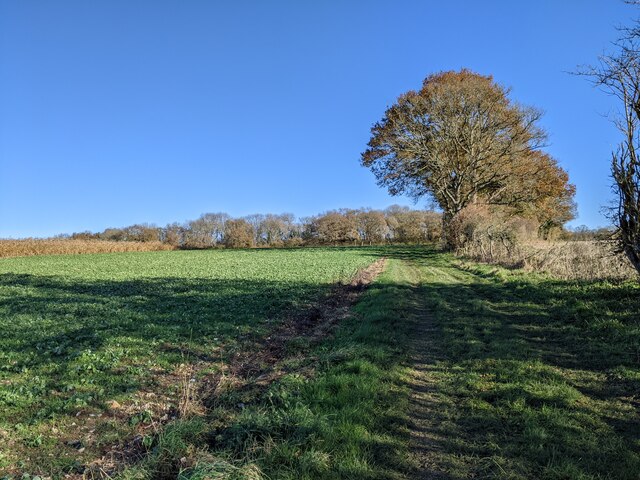
Barton Copse is a picturesque woodland located in Hampshire, England. This tranquil forest is nestled in the heart of the Hampshire countryside, covering an area of approximately 100 acres. It is a popular destination for nature enthusiasts, hikers, and families looking for a peaceful retreat.
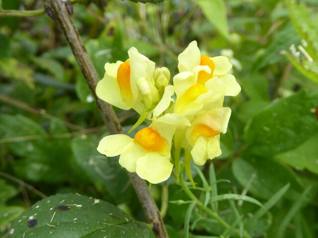
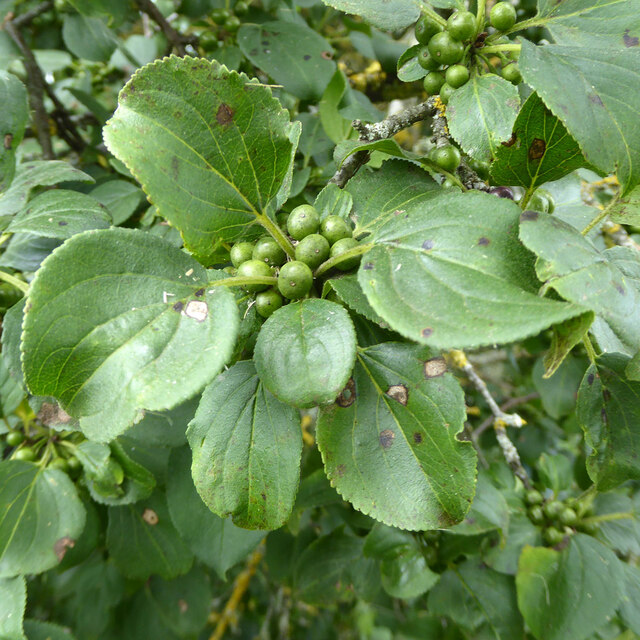
The copse is characterized by its diverse range of trees, including oak, beech, and ash. These majestic trees create a dense canopy, providing shade and shelter for the various wildlife species that call Barton Copse home. Visitors can expect to spot an array of bird species, such as woodpeckers and owls, as well as small mammals like squirrels and rabbits.
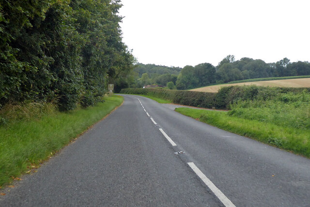
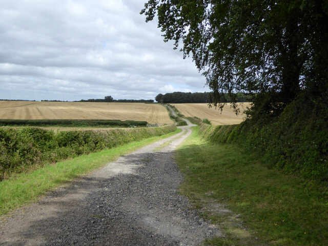
The woodland is crisscrossed by a network of well-maintained walking trails, allowing visitors to explore its natural beauty at their own pace. The paths lead through meandering streams, wildflower meadows, and patches of bluebells, providing a stunning display of colors throughout the seasons. Along the way, there are several strategically placed benches and picnic areas, inviting visitors to rest and take in the tranquil surroundings.
Barton Copse is also known for its rich historical significance. Within the woodland, there are remnants of ancient settlements and archaeological sites dating back centuries. These historical features add an extra layer of intrigue to the forest, making it an ideal destination for those interested in both nature and history.
Overall, Barton Copse is a hidden gem in Hampshire, offering visitors a peaceful and immersive experience in a beautiful natural setting. Whether you are looking to reconnect with nature, go for a leisurely walk, or simply enjoy a picnic in a serene environment, Barton Copse is an ideal destination.
If you have any feedback on the listing, please let us know in the comments section below.
Barton Copse Images
Images are sourced within 2km of 51.111908/-1.1615759 or Grid Reference SU5835. Thanks to Geograph Open Source API. All images are credited.


Barton Copse is located at Grid Ref: SU5835 (Lat: 51.111908, Lng: -1.1615759)
Administrative County: Hampshire
District: Winchester
Police Authority: Hampshire
What 3 Words
///rekindle.shunning.softly. Near New Alresford, Hampshire
Nearby Locations
Related Wikis

Old Alresford
Old Alresford ( OLZ-fərd or AWLZ-fərd) is a village and civil parish in Hampshire, England. It is 1 km (0.6 miles) north of the town of New Alresford...

Old Alresford House
Old Alresford House is an 18th-century Georgian country house in Old Alresford, Hampshire, England. It is a Grade II* listed building.It was built between...
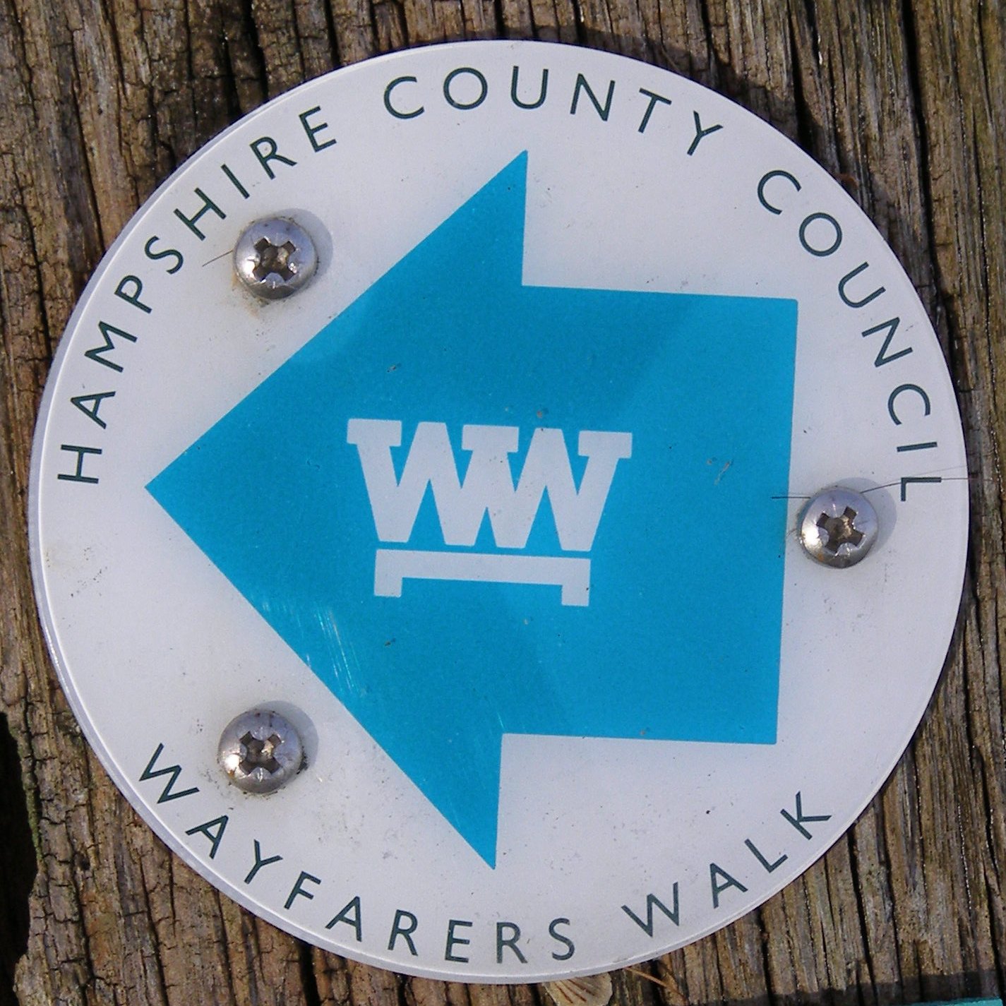
Wayfarer's Walk
The Wayfarer's Walk is a 71 mile long distance footpath in England from Walbury Hill, Berkshire to Emsworth, Hampshire. The north-west end is at the car...
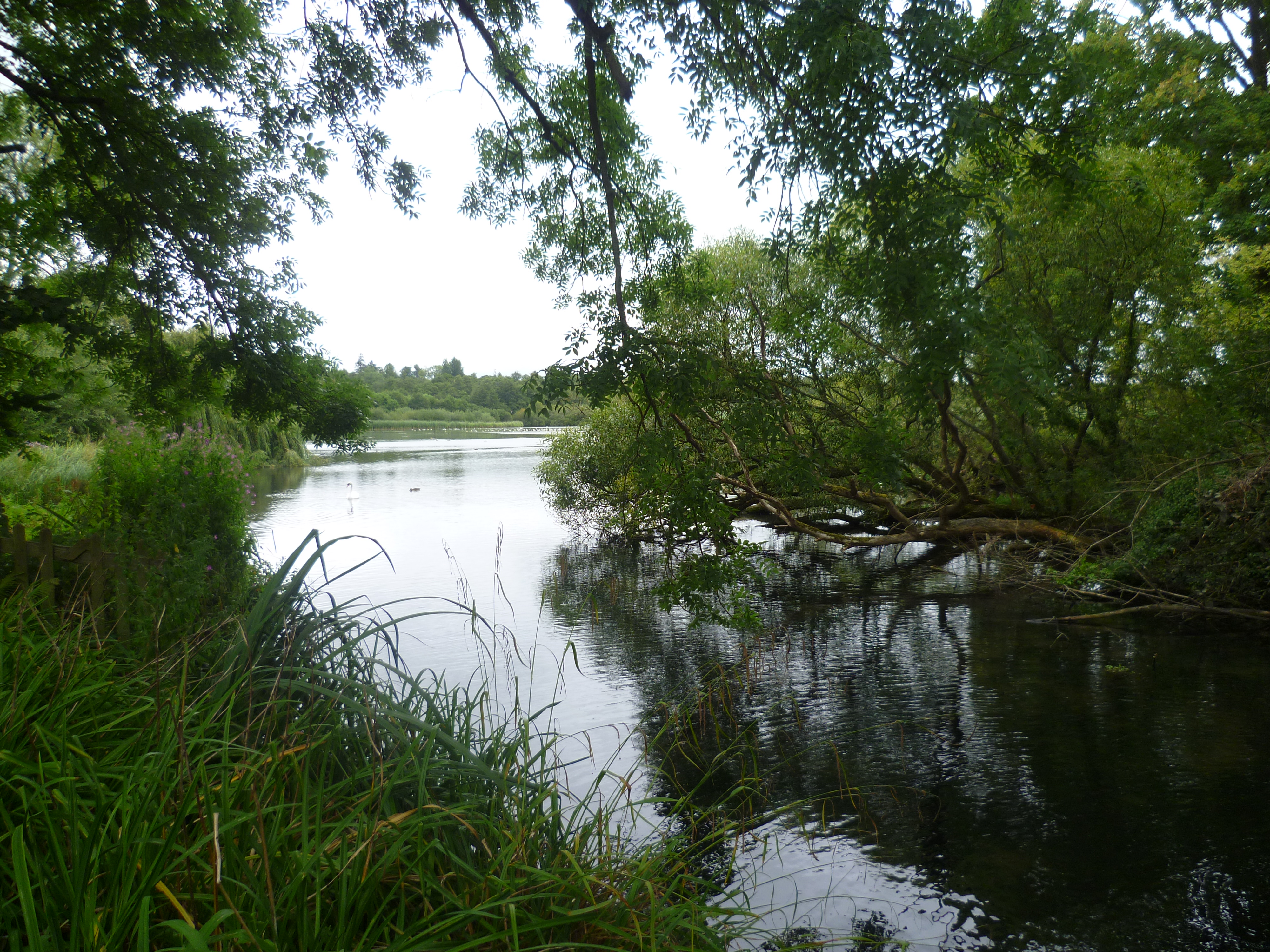
Alresford Pond
Alresford Pond is a 30.2-hectare (75-acre) biological Site of Special Scientific Interest on the north side of New Alresford in Hampshire. This large lake...

Fobdown
Fobdown is a hamlet in Hampshire, England. It lies 2 miles (3.2 km) north-west from New Alresford. It is in the civil parish of Old Alresford.
Itchin Stoke Down
Itchin Stoke Down is a rural location near the town of Alresford in Hampshire. It was used as a venue for 13 first-class cricket matches between 1778 and...
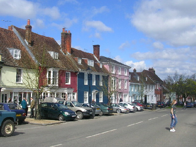
New Alresford
New Alresford or simply Alresford ( OLZ-fərd or AWLZ-fərd) is a market town and civil parish in the City of Winchester district of Hampshire, England...

Alresford Community Centre
Alresford Community Centre, formerly Alresford Town Hall, is a municipal building in West Street, New Alresford, Hampshire, England. The structure, which...
Have you been to Barton Copse?
Leave your review of Barton Copse below (or comments, questions and feedback).