Admiral's Copse

Wood, Forest in Hampshire Winchester

England

Admiral's Copse

Wickham Road, Soberton
Wickham Road, Soberton Credit: David Howard

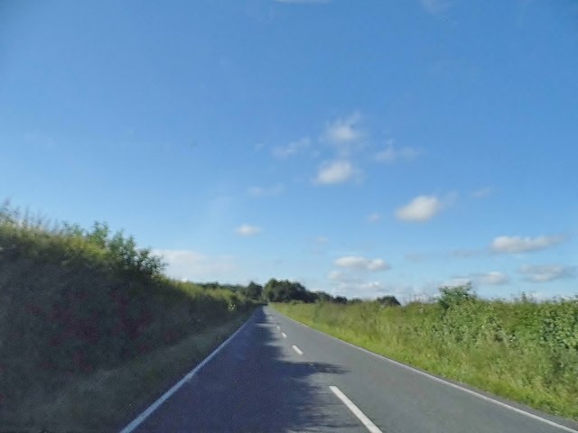
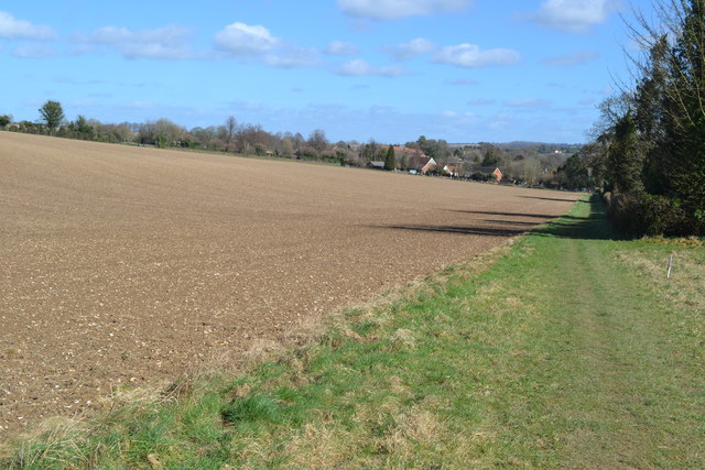
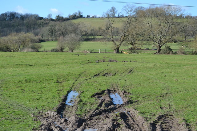
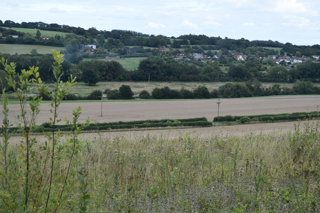
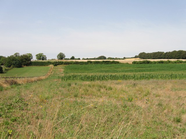
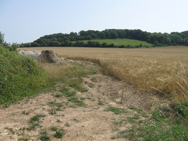
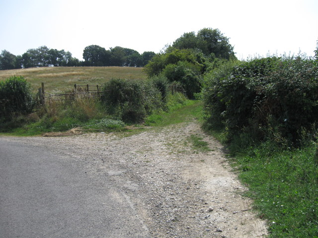
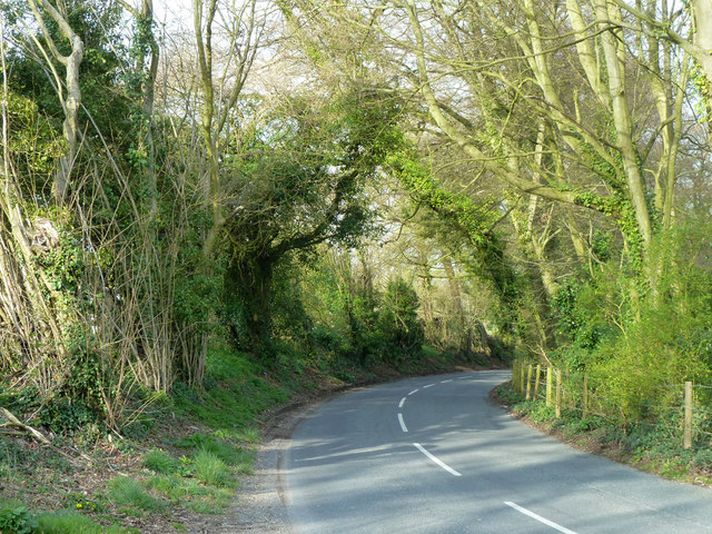
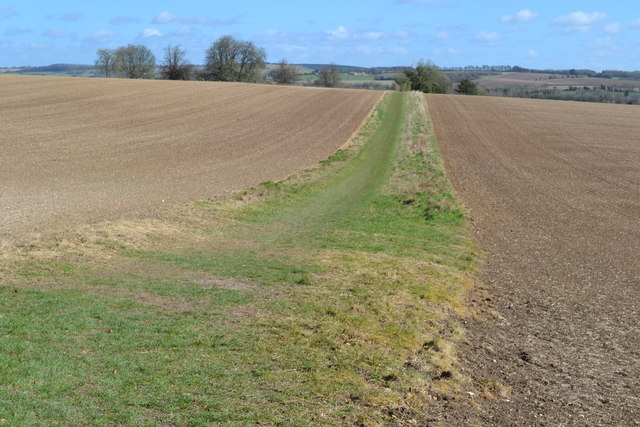
Admiral's Copse is a charming woodland located in Hampshire, England. Covering an area of approximately 10 acres, it is a haven for nature enthusiasts and those seeking a peaceful retreat. The copse is situated near the village of Soberton and is easily accessible by foot or car.

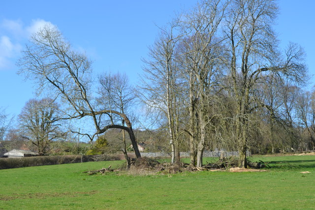
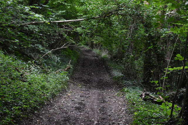
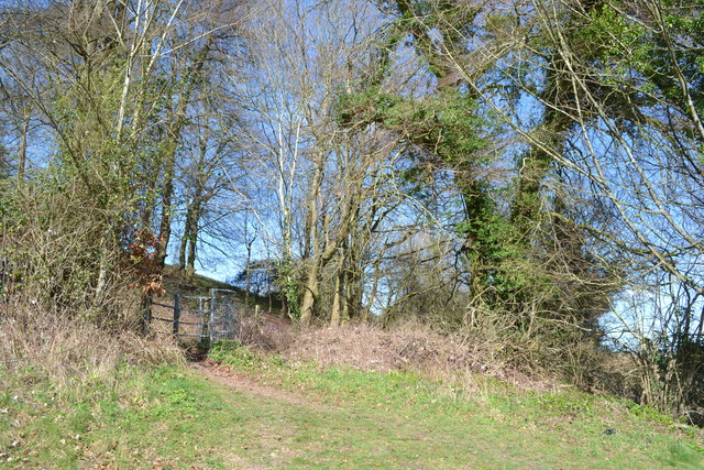
The woodland is predominantly made up of native deciduous trees, including oak, beech, and ash, which provide a stunning display of colors throughout the year. The forest floor is covered with a diverse range of flora, such as bluebells, wood anemones, and wild garlic, creating a beautiful carpet of colors and scents during the spring months.

Admiral's Copse is home to a variety of wildlife species, making it a popular spot for birdwatchers and animal lovers. Visitors may catch a glimpse of native birds such as great tits, woodpeckers, and owls, as they flit between the trees. Squirrels scurrying through the branches and small mammals like voles and shrews can also be spotted.

For those looking to explore the copse, a network of well-maintained footpaths winds through the woodland, allowing visitors to fully immerse themselves in its beauty. The paths are suitable for all ages and abilities, making it an ideal destination for families and nature enthusiasts alike.

Admiral's Copse offers a tranquil and serene environment, providing a welcome respite from the hustle and bustle of everyday life. With its picturesque scenery and abundant wildlife, it is a truly enchanting destination for anyone seeking a connection with nature.

If you have any feedback on the listing, please let us know in the comments section below.

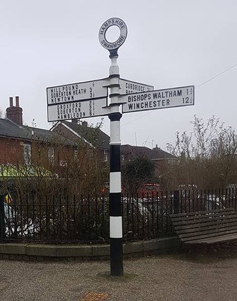
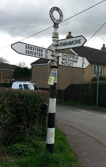
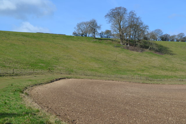
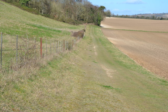
Admiral's Copse Images

Images are sourced within 2km of 50.949058/-1.165647 or Grid Reference SU5816. Thanks to Geograph Open Source API. All images are credited.

Wickham Road, Soberton
Old Milestone by the A32, Midlington Road, Droxford parish Stone post with Wheatley cast iron plate (plate lost) by the A32, in parish of Droxford (Winchester District), was by Midlington Road, on verge 20m North of cross roads - stone extant but plate sold on e-bay and moved to another location.

Inscription once read:-
(Alton)
(17)
(Fareham)
(8)

Winchester HER.
HER No.: MWC1702 <span class="nowrap"><a title="https://www.heritagegateway.org.uk/Gateway/Results_Single.aspx?uid=MWC1702&resourceID=1013" rel="nofollow ugc noopener" href="https://www.heritagegateway.org.uk/Gateway/Results_Single.aspx?uid=MWC1702&resourceID=1013">Link</a><img style="margin-left:2px;" alt="External link" title="External link - shift click to open in new window" src="https://s1.geograph.org.uk/img/external.png" width="10" height="10"/></span>

Milestone Society National ID: HA_LGO64
Old Milestone by the A32, Midlington Road, Droxford parish
Stone post with Wheatley cast iron plate (plate lost) by the A32, in parish of Droxford (Winchester District), was by Midlington Road, on verge 20m North of cross roads - stone extant but plate sold on e-bay and moved to another location. Inscription once read:- (Alton) (17) (Fareham) (8) Winchester HER. HER No.: MWC1702 LinkExternal link Milestone Society National ID: HA_LGO64
Looking back towards Droxford from permissive path on field edge
Small copse in field south of Droxford
Tracks into field by Cut Bridge
View across the Meon Valley
On Green Lane, descending through the wood
Horse in field below Midlington Farm
View from Dundridge Lane
Road junction
Road junction
Swanmore Road towards Droxford
Old Direction Sign - Signpost by Church Road, Swanmore parish Annulus finial - 4 arms; Hampshire Parish halo by the UC road, in parish of Swanmore (Winchester District), T-junction of Church Road with New Road.

To be surveyed

Milestone Society National ID: HA_SU5716
Old Direction Sign - Signpost by Church Road, Swanmore parish
Annulus finial - 4 arms; Hampshire Parish halo by the UC road, in parish of Swanmore (Winchester District), T-junction of Church Road with New Road. To be surveyed Milestone Society National ID: HA_SU5716
Old Direction Sign - Signpost by Droxford Road, Hill Pound, Swanmore parish Annulus finial - 4 arms; Hampshire halo by the UC road, in parish of Swanmore (Winchester District), Hill Pound, Swanmore, junction with Mislingford Road and Chapel Road.

To be surveyed

Milestone Society National ID: HA_SU5715
Old Direction Sign - Signpost by Droxford Road, Hill Pound, Swanmore parish
Annulus finial - 4 arms; Hampshire halo by the UC road, in parish of Swanmore (Winchester District), Hill Pound, Swanmore, junction with Mislingford Road and Chapel Road. To be surveyed Milestone Society National ID: HA_SU5715
Bowl in the valley side west of Droxford
Footpath along field edge west of Droxford
Path between fields to Droxford
Footpath entering small copse on Fir Down
Show me another place!

Admiral's Copse is located at Grid Ref: SU5816 (Lat: 50.949058, Lng: -1.165647)

Administrative County: Hampshire

District: Winchester

Police Authority: Hampshire

What 3 Words

///pouting.composes.bluffing. Near Swanmore, Hampshire

Nearby Locations

Admiral's Copse Hill Grove

Related Wikis

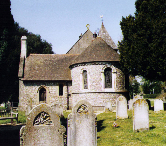
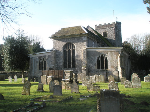
Church of Saint Barnabas, Swanmore

The Church of St Barnabas is the Church of England parish church of Swanmore near Southampton in Hampshire, England. It was constructed in 1844 and is...

Swanmore

Swanmore is a rural village and civil parish situated in the Meon Valley, Hampshire, England. It is very near to Bishop's Waltham. Swanmore was originally...
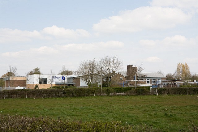
Swanmore College

Swanmore College is an 11–16 mixed secondary community school in Swanmore, Hampshire, England. The school has achieved Sports-mark, Investors in People...

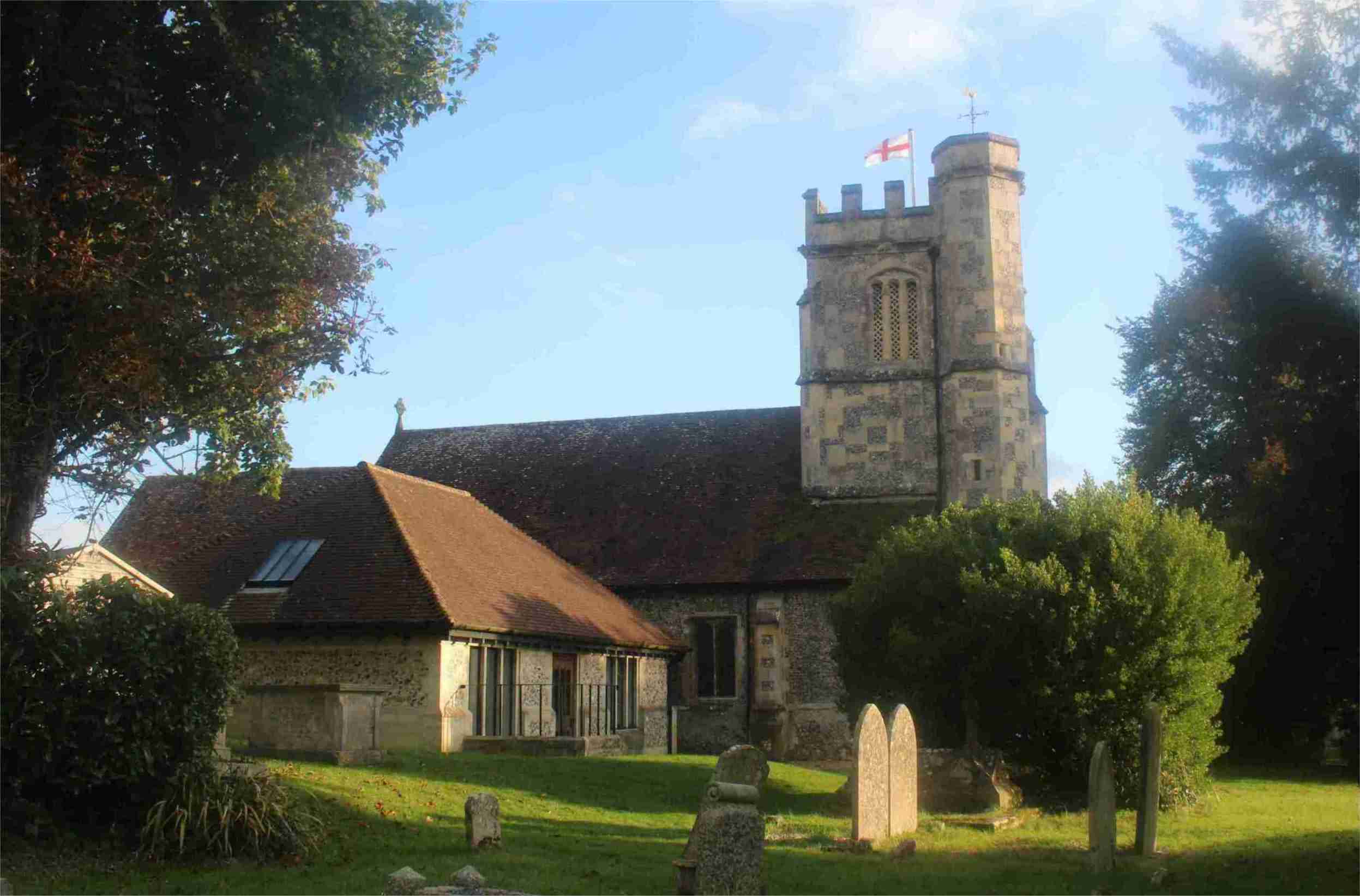
Church of St Mary and All Saints, Droxford

The Church of St Mary and All Saints is an Anglican church in the village of Droxford, in Hampshire, England. It is in the Diocese of Portsmouth, and is...

Galley Down Wood

Galley Down Wood is a 16.6-hectare (41-acre) biological Site of Special Scientific Interest north-east of Bishop's Waltham in Hampshire.This wood, which...

Soberton

Soberton is a village in the Meon Valley, Hampshire, England, east of the A32 and a few miles south of the village of Droxford. It appears in the Domesday...

Waltham Chase

Waltham Chase is a village in Hampshire, England, neighbouring the town of Bishop's Waltham. It is in the civil parish of Shedfield, comprising about...

The Moors, Bishop's Waltham

The Moors, Bishop's Waltham is a 28-hectare (69-acre) biological Site of Special Scientific Interest in Bishop's Waltham in Hampshire. It is a Nature Conservation...

Nearby Amenities

Located within 500m of 50.949058,-1.165647
Bus Stop
Hill Place Cottage
Naptan AtcoCode: 1900HA110675
Naptan Bearing: E
Naptan CommonName: Hill Place Cottage
Naptan Crossing: Droxford Road
Naptan NaptanCode: hamdtpat
Naptan Street: Swanmore Road
Naptan Verified: no
Source: naptan_import
Lat/Long: 50.9450633/-1.1676964
Bus Stop
Hill Place Cottage
Naptan AtcoCode: 1900HA110676
Naptan Bearing: W
Naptan CommonName: Hill Place Cottage
Naptan Crossing: Droxford Road
Naptan NaptanCode: hamdtpaw
Naptan Street: Swanmore Road
Naptan Verified: no
Source: naptan_import
Lat/Long: 50.944991/-1.167655
Bus Stop
Hill Place Farm
Naptan AtcoCode: 1900HA110677
Naptan Bearing: W
Naptan CommonName: Hill Place Farm
Naptan NaptanCode: hamdtptw
Naptan Street: Swanmore Road
Naptan Verified: no
Source: naptan_import
Lat/Long: 50.9456404/-1.1641417
Bus Stop
Hill Place Farm
Naptan AtcoCode: 1900HA110678
Naptan Bearing: E
Naptan CommonName: Hill Place Farm
Naptan NaptanCode: hamdtptm
Naptan Street: Swanmore Road
Naptan Verified: no
Source: naptan_import
Lat/Long: 50.9457127/-1.1641973
Barrier: stile
Source: survey
Lat/Long: 50.9455135/-1.1650681
Barrier: stile
Lat/Long: 50.9494089/-1.1679136
The data included in this document is from www.openstreetmap.org. The data is made available under ODbL.

Have you been to Admiral's Copse?

Leave your review of Admiral's Copse below (or comments, questions and feedback).