Alder Moor

Wood, Forest in Hampshire Gosport

England

Alder Moor

Dinghy store and seafront apartments, Lee-on-the-Solent
Dinghy store and seafront apartments, Lee-on-the-Solent Credit: David Martin

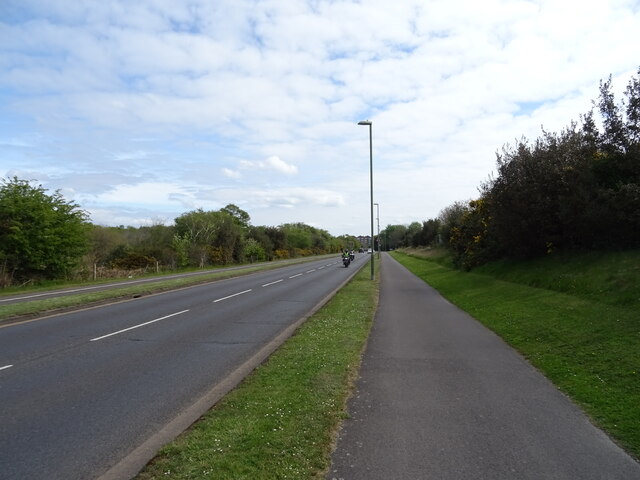
Alder Moor is a picturesque wood located in Hampshire, England. It is situated near the village of Alderholt and covers an area of approximately 200 acres. The wood is part of the larger New Forest, a national park renowned for its natural beauty and diverse wildlife.

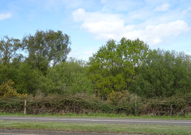
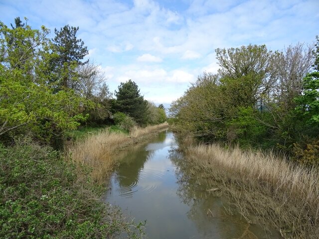
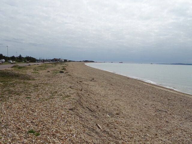
Alder Moor is predominantly comprised of alder trees, which thrive in the damp and marshy conditions found in the area. The wood is characterized by its dense canopy of tall trees, creating a tranquil and shaded environment. The forest floor is covered in a thick layer of moss and ferns, giving it a lush and green appearance.

The wood is home to a wide variety of flora and fauna. Birdwatchers will delight in the opportunity to spot species such as woodpeckers, nuthatches, and tawny owls. The more observant visitor may also catch a glimpse of roe deer, foxes, and badgers that call Alder Moor their home.

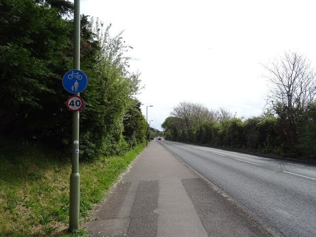
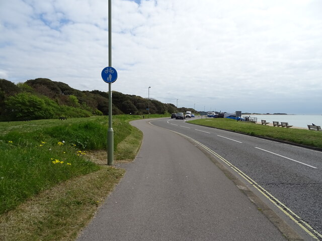
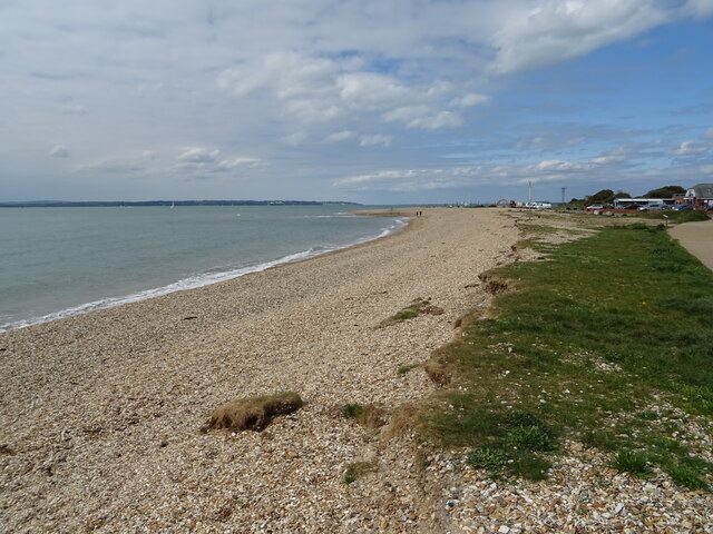
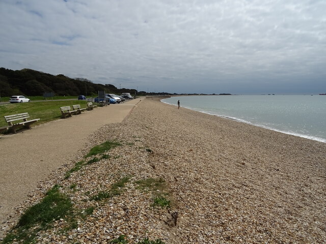
Visitors to Alder Moor can enjoy a range of activities. There are several walking trails that wind through the wood, allowing visitors to explore its beauty at their own pace. The wood also offers opportunities for picnicking, photography, and wildlife observation.

Alder Moor is a popular destination for nature lovers and those seeking a peaceful retreat. With its stunning landscape and abundant wildlife, it is a true gem within the New Forest.

If you have any feedback on the listing, please let us know in the comments section below.
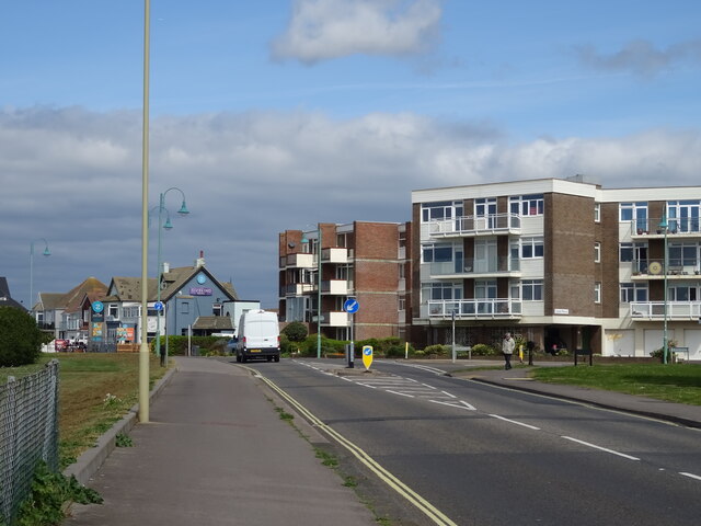
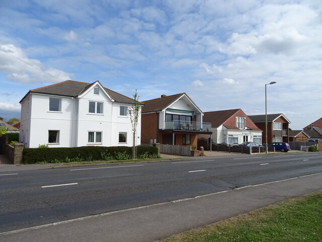
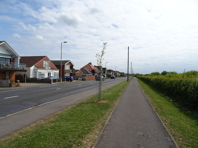
Alder Moor Images

Images are sourced within 2km of 50.797564/-1.1700494 or Grid Reference SU5800. Thanks to Geograph Open Source API. All images are credited.

Dinghy store and seafront apartments, Lee-on-the-Solent
Seafront daffodils, Lee-on-the-Solent
The Old Ship
The Old Ship
Sign for the Old Ship
Flats on the B3333
Flats on the B3333
B3333, Lee-on-the-Solent
Houses on the B3333
Houses on the B3333
National Cycle Network Route 2
Woodland beside Privett Road
National Cycle Network Route 2 beside Privett Road
National Cycle Network Route 2 beside Browndown Road
The River Alver
The River Alver
Diving Museum, No.2 Battery
No.2 Battery, Browndown
National Cycle Network Route 2 beside Stokes Bay Road
Shingle beach, Stokes Bay
Show me another place!

Alder Moor is located at Grid Ref: SU5800 (Lat: 50.797564, Lng: -1.1700494)

Administrative County: Hampshire

District: Gosport

Police Authority: Hampshire

What 3 Words

///behind.silver.precautions. Near Lee-on-the-Solent, Hampshire

Nearby Locations

Alder Moor

Related Wikis

Gosport (UK Parliament constituency)

Gosport ( GOS-port) is a parliamentary constituency represented in the House of Commons of the UK Parliament since 2010 by Caroline Dinenage of the Conservative...

Little Woodham

Little Woodham, also known as "The Living History Village of Little Woodham" or "The Seventeenth Century Village", is a living museum dedicated to recreating...
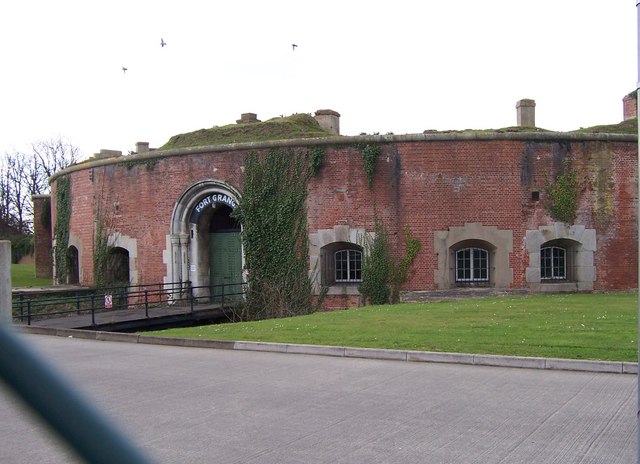
Fort Grange

Fort Grange is one of the Palmerston Forts, in Gosport, England. After Gomer and Elson forts had been approved in 1852, further consideration led to a...

West of the River Alver

West of the River Alver is an 11.6-hectare (29-acre) Local Nature Reserve in Gosport in Hampshire. It is owned and managed by Gosport Borough Council...

Fort Gomer Halt railway station

Fort Gomer Halt railway station served the town of Gosport, Hampshire, England from 1894 to 1930 on the Lee-on-the-Solent Railway. == History == The station...
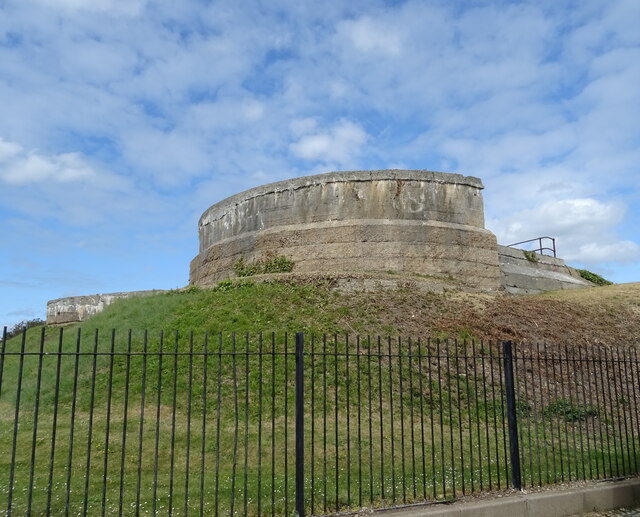
Fort Gomer

Fort Gomer was one of the Palmerston Forts, in Gosport, England, the southernmost and first-built Polygonal fort in the defence line to the west of Gosport...

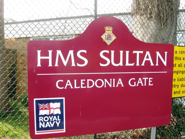
HMS Sultan (shore establishment)

HMS Sultan is a shore base of the Royal Navy in Gosport, Hampshire, England. It is the primary engineering training establishment for the Royal Navy and...

Gosport Borough F.C.

Gosport Borough Football Club is a semi-professional football club based in Gosport, Hampshire, England. The club is affiliated to the Hampshire Football...

Nearby Amenities

Located within 500m of 50.797564,-1.1700494
Fuel
Grange Road Service Station
Addr City: Gosport
Addr Postcode: PO13 8AP
Addr Street: Grange Road
Brand: Harvest Energy
Brand Wikidata: Q67316143
Phone: +44 2392 510867
Source: survey
Lat/Long: 50.8011476/-1.1662215
Bus Stop
Rowner Rec
Bus: yes
Naptan AtcoCode: 1900HA050079
Naptan Bearing: E
Naptan CommonName: Rowner Rec
Naptan Crossing: Davenport Close
Naptan NaptanCode: hamdtmpj
Naptan PlusbusZoneRef: FAREHAM
Naptan Street: Howe Road
Naptan Verified: no
Public Transport: platform
Source: naptan_import
Lat/Long: 50.8010483/-1.1723294
Bus Stop
Rowner Rec
Bus: yes
Naptan AtcoCode: 1900HA050080
Naptan Bearing: W
Naptan CommonName: Rowner Rec
Naptan Crossing: Opp Davenport Close
Naptan NaptanCode: hamdtmgt
Naptan PlusbusZoneRef: FAREHAM
Naptan Street: Howe Road
Naptan Verified: no
Public Transport: platform
Source: naptan_import
Lat/Long: 50.800919/-1.1731122
Bus Stop
Grange Road
Bench: no
Bin: no
Bus: yes
Naptan AtcoCode: 1900HA050100
Naptan Bearing: S
Naptan CommonName: Grange Road
Naptan Crossing: Privett Road
Naptan NaptanCode: hamdtpjg
Naptan PlusbusZoneRef: FAREHAM
Naptan Street: Grange Road
Naptan Verified: no
Public Transport: platform
Shelter: no
Source: naptan_import
Lat/Long: 50.793551/-1.167984
Bus Stop
Grange Road
Bench: no
Bus: yes
Naptan AtcoCode: 1900HA050101
Naptan Bearing: N
Naptan CommonName: Grange Road
Naptan Crossing: Privett Road
Naptan NaptanCode: hamdtpgt
Naptan PlusbusZoneRef: FAREHAM
Naptan Street: Grange Road
Naptan Verified: no
Public Transport: platform
Shelter: yes
Source: naptan_import
Lat/Long: 50.7934559/-1.168207
Car Wash
Lat/Long: 50.8010068/-1.1663983
Gosport BMX Track
Addr Street: Grange Road
Leisure: sports_centre
Lat/Long: 50.7960774/-1.1680784
Traffic Calming: hump
Lat/Long: 50.7964243/-1.1648302
Traffic Calming: hump
Lat/Long: 50.7969051/-1.1657034
Noexit: yes
Lat/Long: 50.7995366/-1.1666144
Post Box
Brand: Royal Mail
Brand Wikidata: Q638098
Collection Plate: CP8
Collection Times: Mo-Fr 16:45; Sa 11:45
Operator: Royal Mail
Operator Wikidata: Q638098
Post Box Type: pillar
Ref: PO13 73
Royal Cypher: EIIR
Royal Cypher Wikidata: Q33102113
Lat/Long: 50.799013/-1.1675114
Turning Circle
Lat/Long: 50.7994106/-1.1636515
Little Woodham Living History Village
Museum: living_history
Tourism: museum
Wikidata: Q6652587
Wikipedia: en:Little Woodham
Lat/Long: 50.7996262/-1.173447
Crossing
Crossing: unmarked
Lat/Long: 50.7970797/-1.1671949
Power: substation
Lat/Long: 50.8005943/-1.1703229
Parking
Capacity: 51
Lat/Long: 50.7965003/-1.1695243
Defibrillator
Defibrillator Location: Inside main entrance, to the left.
Emergency: defibrillator
Indoor: yes
Lat/Long: 50.7992837/-1.1713383
Turning Circle
Lat/Long: 50.7990638/-1.1705518
Crossing
Lat/Long: 50.7992726/-1.1721673
Crossing
Lat/Long: 50.7996992/-1.1719702
Crossing
Lat/Long: 50.7994666/-1.172073
Noexit: yes
Lat/Long: 50.8003213/-1.1664283
The data included in this document is from www.openstreetmap.org. The data is made available under ODbL.

Have you been to Alder Moor?

Leave your review of Alder Moor below (or comments, questions and feedback).