Ashchurch

Settlement in Gloucestershire Tewkesbury

England

Ashchurch

A438 approaching the M5 junction The positioning of the road sign for the roundabout is unhelpful, to say the least.
A438 approaching the M5 junction Credit: Peter Whatley

Ashchurch is a small village located in the county of Gloucestershire, England. Situated approximately three miles east of Tewkesbury, it is nestled in the picturesque Vale of Evesham. The village is home to a population of around 2,500 residents.

The area has a rich history, with evidence of human settlement dating back to the Roman era. Ashchurch was an important military site during the Roman occupation, serving as a base for the Legio XX Valeria Victrix. Today, remnants of the Roman settlement can still be seen in the form of archaeological remains.

One of the notable landmarks in Ashchurch is the St Nicholas Church, a medieval parish church that dates back to the 12th century. The church features stunning architectural elements and is a testament to the village's historical significance.

Ashchurch is surrounded by beautiful countryside, making it an ideal location for outdoor enthusiasts. The nearby River Avon provides opportunities for fishing and boating, while the surrounding fields and woodlands offer ample space for walking and hiking.

The village boasts a close-knit community and has a range of amenities to cater to its residents. These include a primary school, a community center, a post office, and several local shops and pubs.

With its rich history, natural beauty, and community spirit, Ashchurch is a charming village that offers a peaceful and idyllic lifestyle for its residents.

If you have any feedback on the listing, please let us know in the comments section below.
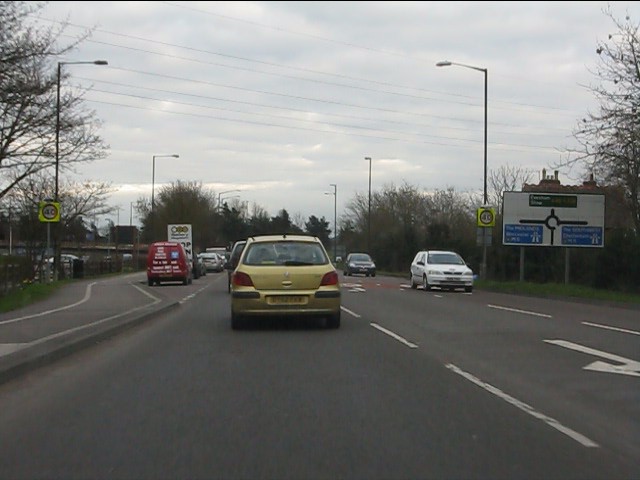
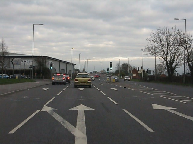
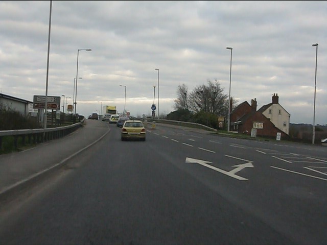
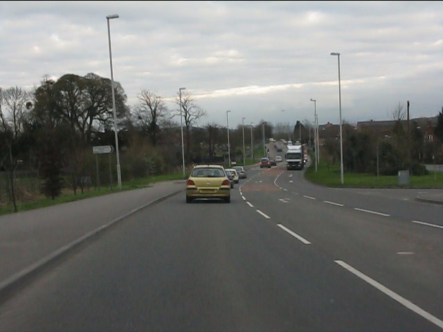
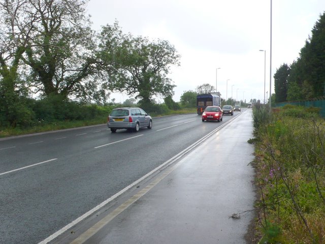
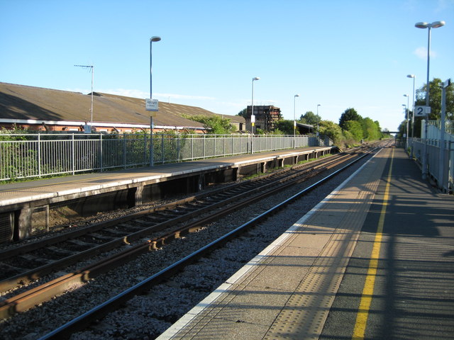
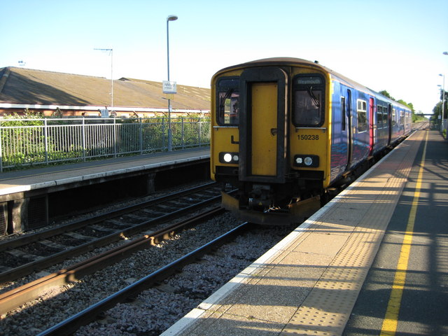
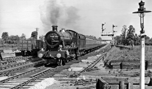
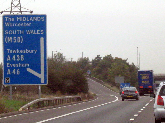
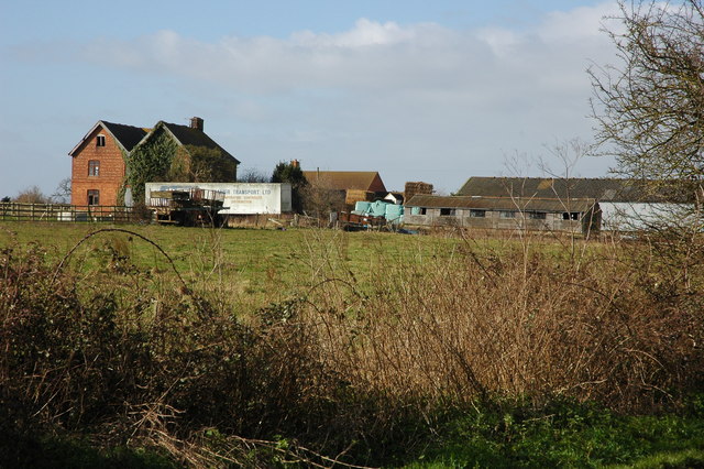
Ashchurch Images

Images are sourced within 2km of 51.997796/-2.105526 or Grid Reference SO9233. Thanks to Geograph Open Source API. All images are credited.

A438 approaching the M5 junction The positioning of the road sign for the roundabout is unhelpful, to say the least.
A438 approaching the M5 junction
The positioning of the road sign for the roundabout is unhelpful, to say the least.
A46 at Northway Lane traffic lights A major junction giving access to an industrial estate and Ashchurch station.
A46 at Northway Lane traffic lights
A major junction giving access to an industrial estate and Ashchurch station.
A46 rising to the railway bridge On the right a minor road leads to Homedowns and Fiddington.
A46 rising to the railway bridge
On the right a minor road leads to Homedowns and Fiddington.
A46 - view east from Ashchurch railway bridge
A46 alongside Northway depot
A46 at the Parmington junction Alderton Hill provides a distant backdrop.
A46 at the Parmington junction
Alderton Hill provides a distant backdrop.
A46 at Aston Cross traffic lights
A46 east of Acton Cross
A46 Aston Cross View west along the main road just north of the village of Pamington. There is a huge MOD vehicle depot here, marked by the green fence on the right. This area is known as Northway and is a suburb of Tewkesbury.
A46 Aston Cross
View west along the main road just north of the village of Pamington. There is a huge MOD vehicle depot here, marked by the green fence on the right. This area is known as Northway and is a suburb of Tewkesbury.
Ashchurch Station Early morning at Ashchurch Station on the Birmingham to Bristol line.
Ashchurch Station
Early morning at Ashchurch Station on the Birmingham to Bristol line.
Train approaching Ashchurch Station The 7:03 train for Weymouth approaching Ashchurch Station.
Train approaching Ashchurch Station
The 7:03 train for Weymouth approaching Ashchurch Station.
Aston Cross On the left is the large MOD depot and on the right are the few semi-detached houses located close to the traffic lights on the A46 at the turn-off to Pamington which as the road sign shows is the B4079 to Pershore and Bishops Cleeve.
Aston Cross
On the left is the large MOD depot and on the right are the few semi-detached houses located close to the traffic lights on the A46 at the turn-off to Pamington which as the road sign shows is the B4079 to Pershore and Bishops Cleeve.
Down 'Cornishman' express - diverted - passing Ashchurch View northward, towards Birmingham etc.; ex-Midland Birmingham - Bristol main line. 'Modified Hall' 4-6-0 No. 7920 'Coney Hall' (built 9/50, withdrawn 6/65) in splendid condition is rushing through here at that time, because the Wolverhampton (Low Level) - Penzance 'Cornishman' was diverted via Honeybourne and Norton Junction (reverse) instead of its normal route via Broadway during major repairs on that line. In the foreground was the flat crossing of the former loop connecting the Evesham line (right) with the Tewkesbury line (left), recently taken up.
Down 'Cornishman' express - diverted - passing Ashchurch
View northward, towards Birmingham etc.; ex-Midland Birmingham - Bristol main line. 'Modified Hall' 4-6-0 No. 7920 'Coney Hall' (built 9/50, withdrawn 6/65) in splendid condition is rushing through here at that time, because the Wolverhampton (Low Level) - Penzance 'Cornishman' was diverted via Honeybourne and Norton Junction (reverse) instead of its normal route via Broadway during major repairs on that line. In the foreground was the flat crossing of the former loop connecting the Evesham line (right) with the Tewkesbury line (left), recently taken up.
M5 Motorway - Junction 9 Northbound
Northway level crossing The barriers are just rising after the passage of a lengthy southbound freight train.
Northway level crossing
The barriers are just rising after the passage of a lengthy southbound freight train.
Large field near Aston Fields Farm
View toward Bredon Hill
Pamington Fields from the B4079
Show me another place!

Ashchurch is located at Grid Ref: SO9233 (Lat: 51.997796, Lng: -2.105526)

Administrative County: Gloucestershire

District: Tewkesbury

Police Authority: Gloucestershire

What 3 Words

///outlooks.angers.states. Near Bredon, Worcestershire

Nearby Locations

Ashchurch

Related Wikis

Nearby Amenities

Located within 500m of 51.997796,-2.105526
Crossing
Crossing: traffic_signals
Crossing Ref: toucan
Lat/Long: 51.9978319/-2.1050114
Ashchurch
Naptan AtcoCode: 9100ASHCHRC
Public Transport: stop_position
Railway: stop
Source: NPE
Train: yes
Lat/Long: 51.9990252/-2.1087547
Mini Roundabout
Lat/Long: 51.9980465/-2.1127342
Traffic Signals
Lat/Long: 51.9990121/-2.1120685
Railway: switch
Lat/Long: 52.0020244/-2.1044342
Ashchurch
Is In: Tewkesbury
Place: suburb
Source: NPE
Wikidata: Q943960
Lat/Long: 51.9986019/-2.1068884
Bus Stop
Fitzhamon Park
Bus: yes
Naptan AtcoCode: 1600GL155
Naptan Bearing: E
Naptan CommonName: Fitzhamon Park
Naptan Indicator: Opp
Naptan NaptanCode: glodpjtj
Naptan Street: Tewkesbury Rd A46
Naptan Verified: no
Public Transport: platform
Source: naptan_import
Lat/Long: 51.997922/-2.1021597
Bus Stop
Fitzhamon Park
Bus: yes
Naptan AtcoCode: 1600GL156
Naptan Bearing: W
Naptan CommonName: Fitzhamon Park
Naptan NaptanCode: glodpjwp
Naptan Street: Tewkesbury Rd A46
Public Transport: platform
Shelter: yes
Source: naptan_import
Lat/Long: 51.9977522/-2.1033827
Bus Stop
Northway Trading Estate
Bus: yes
Departures Board: timetable
Naptan AtcoCode: 1600GL159
Naptan Bearing: NE
Naptan CommonName: Northway Trading Estate
Naptan Indicator: before
Naptan NaptanCode: glodpgmw
Naptan Street: Northway Lane
Naptan Verified: no
Public Transport: platform
Source: naptan_import
Lat/Long: 52.0003842/-2.1109193
Bus Stop
Northway Lane/Trading Estate
Bus: yes
Flag: yes
Naptan AtcoCode: 1600GL160
Naptan Bearing: SW
Naptan BusStopType: CUS
Naptan CommonName: Northway Trading Estate
Naptan Indicator: nr
Naptan NaptanCode: glodpgpa
Naptan Street: Northway Lane
Naptan Verified: no
Pole: no
Public Transport: platform
Shelter: yes
Source: naptan_import
Lat/Long: 52.0000472/-2.1112211
Bus Stop
Northway Lane/Station turn
Bench: no
Bin: no
Bus: yes
Departures Board: no
Flag: yes
Naptan AtcoCode: 1600GL9089
Naptan Bearing: N
Naptan CommonName: Railway Station Turn
Naptan Indicator: before
Naptan NaptanCode: glodpgjd
Naptan Street: Northway Lane
Naptan Verified: yes
Passenger Information Display: no
Pole: yes
Public Transport: platform
Shelter: no
Source: naptan_import;survey
Lat/Long: 51.9977546/-2.111875
Bus Stop
Northway Lane/Station turn
Bench: no
Bin: yes
Bus: yes
Departures Board: timetable
Flag: yes
Lit: yes
Naptan AtcoCode: 1600GL9090
Naptan Bearing: S
Naptan CommonName: Railway Station Turn
Naptan Indicator: after
Naptan NaptanCode: glodpgmg
Naptan Street: Northway Lane
Naptan Verified: yes
Passenger Information Display: no
Pole: no
Public Transport: platform
Shelter: no
Source: naptan_import;survey
Lat/Long: 51.9977821/-2.1116468
Bus Stop
Ashchurch Railway Station
Bench: yes
Bin: yes
Bus: yes
Departures Board: timetable
Flag: yes
Naptan AtcoCode: 1600GLA36526
Naptan Bearing: S
Naptan CommonName: Ashchurch Railway Station
Naptan Indicator: o/s
Naptan NaptanCode: gloajamg
Naptan Street: Off Northway Lane
Public Transport: platform
Shelter: yes
Source: naptan_import
Lat/Long: 51.9983325/-2.1089566
Post Box
Operator: Royal Mail
Post Box Type: lamp
Ref: GL20 59
Source: drive-by survey
Lat/Long: 51.9977522/-2.1034339
Crossing: uncontrolled
Railway: crossing
Source: survey
Lat/Long: 52.0000321/-2.1076427
Turning Circle
Lat/Long: 51.9977119/-2.1059102
Barrier: kissing_gate
Lat/Long: 51.9998734/-2.1075732
Source Area: Bing
Lat/Long: 51.9976725/-2.1050617
Railway: switch
Lat/Long: 51.9950618/-2.1086203
Railway: switch
Lat/Long: 51.9966343/-2.1087835
Railway: switch
Lat/Long: 51.9978522/-2.1086398
Evesham Junction
Railway: junction
Lat/Long: 52.0004795/-2.1070457
Tewkesbury Junction
Railway: junction
Wikidata: Q124328343
Lat/Long: 51.9994236/-2.1117651
Railway: switch
Lat/Long: 51.9952505/-2.1085661
Railway: switch
Lat/Long: 51.9967292/-2.1085622
Railway: switch
Lat/Long: 51.9970308/-2.1086333
Railway: switch
Lat/Long: 51.994194/-2.1087363
Railway: switch
Lat/Long: 51.9969389/-2.1087339
Crossing
Lat/Long: 51.9954253/-2.1103417
Bicycle Parking
Bicycle Parking: stands
Capacity: 28
Covered: no
Source: survey
Lat/Long: 51.9987923/-2.1089335
Bicycle Parking
Bicycle Parking: stands
Capacity: 8
Covered: yes
Source: survey
Lat/Long: 51.9988457/-2.108973
Railway: switch
Lat/Long: 51.9998847/-2.1087077
Ashchurch
Naptan AtcoCode: 9100ASHCHRC
Public Transport: stop_position
Railway: stop
Ref: ASC
Source: NPE
Train: yes
Lat/Long: 51.9990237/-2.1087095
Mile 4 THM 2015
Lat/Long: 52.0012679/-2.1095823
Addr City: Tewkesbury
Addr Postcode: GL20 8JH
Addr Street: Northway Lane
Addr Suburb: Northway
Lat/Long: 52.0002934/-2.1099241
Defibrillator
Emergency: defibrillator
Source: survey
Lat/Long: 51.9975849/-2.1060737
Ashchurch for Tewkesbury
Naptan AtcoCode: 9100ASHCHRC
Network: National Rail
Network Website: https://www.nationalrail.co.uk/stations/asc/
Network Wikidata: Q26334
Operator: Great Western Railway
Operator Website: https://www.gwr.com/stations-and-destinations/stations/ashchurch-for-tewkesbury
Operator Wikidata: Q1419438
Public Transport: station
Railway: station
Ref Crs: ASC
Source: NPE
Wikidata: Q1886947
Wikipedia: en:Ashchurch for Tewkesbury railway station
Lat/Long: 51.9990255/-2.1087299
Noexit: yes
Lat/Long: 51.9975885/-2.1114392
Railway: switch
Lat/Long: 52.0021616/-2.1042027
Ashchurch Junction North
Railway: junction
Lat/Long: 51.9986405/-2.1086664
Ashchurch Junction South
Railway: junction
Wikidata: Q124328324
Lat/Long: 51.9978783/-2.1086841
Ashchurch for Tewkesbury
Abandoned Railway: station
Railway: site
Wikidata: Q1886947
Wikipedia: en:Ashchurch for Tewkesbury railway station
Lat/Long: 51.9983733/-2.1091731
Barrier: lift_gate
Lat/Long: 51.9998607/-2.0997333
Barrier: lift_gate
Lat/Long: 51.9998387/-2.0996239
Traffic Signals
Traffic Signals Direction: forward
Lat/Long: 51.9974741/-2.1116021
Traffic Signals
Traffic Signals Direction: forward
Lat/Long: 51.9973174/-2.111894
Traffic Signals
Traffic Signals Direction: forward
Lat/Long: 51.9972532/-2.1113843
Crossing
Crossing: traffic_signals
Lat/Long: 51.9974251/-2.1117278
Crossing
Crossing: traffic_signals
Lat/Long: 51.9974093/-2.1115809
Crossing
Lat/Long: 51.9981442/-2.1103091
Traffic Signals
Traffic Signals: signal
Traffic Signals Direction: forward
Lat/Long: 51.9973777/-2.1101448
Traffic Signals
Traffic Signals Direction: forward
Lat/Long: 51.9973725/-2.1107824
Traffic Signals
Traffic Signals: signal
Traffic Signals Direction: forward
Lat/Long: 51.9971804/-2.1106771
Power: pole
Lat/Long: 51.9956797/-2.1090933
Power: pole
Lat/Long: 51.9950101/-2.1090934
Power: pole
Lat/Long: 51.9943676/-2.1090947
Power: pole
Lat/Long: 51.9958176/-2.0996949
Smow Farm
Power: pole
Transformer: distribution
Voltage Primary: 11000
Lat/Long: 51.9952099/-2.1007034
Power: pole
Lat/Long: 51.9957375/-2.1009663
Power: pole
Lat/Long: 51.9956558/-2.1022604
Power: pole
Lat/Long: 51.9955786/-2.1035774
Ashchurch Flats
Location Transition: yes
Power: pole
Transformer: distribution
Voltage Primary: 11000
Lat/Long: 51.9968267/-2.1040602
Power: pole
Lat/Long: 51.9963643/-2.1048796
Power: pole
Lat/Long: 51.9958523/-2.1047824
Power: pole
Lat/Long: 51.9934729/-2.1056045
Power: pole
Lat/Long: 51.9939283/-2.1061188
Power: pole
Lat/Long: 51.9945798/-2.1055891
Power: pole
Lat/Long: 51.9955121/-2.1060048
Power: pole
Lat/Long: 51.9996068/-2.1081613
Railway View Ashchurch
Power: pole
Transformer: distribution
Voltage Primary: 11000
Lat/Long: 52.0006793/-2.108561
Power: pole
Lat/Long: 52.0000551/-2.1083222
Power: pole
Lat/Long: 51.999222/-2.1080232
Ashchurch Church
Power: pole
Transformer: distribution
Voltage Primary: 11000
Lat/Long: 51.9987043/-2.1077442
Power: pole
Lat/Long: 51.9981503/-2.1078783
Location Transition: yes
Power: pole
Lat/Long: 51.997929/-2.1079534
Ashchurch North
Location Transition: yes
Power: pole
Transformer: distribution
Voltage Primary: 11000
Lat/Long: 51.9976004/-2.1079145
Power: pole
Lat/Long: 51.9961991/-2.1063159
Location Transition: yes
Power: pole
Lat/Long: 51.9960059/-2.1072306
Power: pole
Lat/Long: 51.9958168/-2.10816
Power: pole
Lat/Long: 51.9956863/-2.1088707
Location Transition: yes
Power: pole
Lat/Long: 51.9956533/-2.1109307
Power: pole
Lat/Long: 51.9956574/-2.1103359
Power: pole
Lat/Long: 51.995662/-2.1101253
Traffic Signals
Lat/Long: 51.9997686/-2.1118346
Barrier: bollard
Lat/Long: 51.9977562/-2.1045426
Barrier: bollard
Lat/Long: 51.9977804/-2.1044438
Crossing
Crossing: unmarked
Crossing Markings: no
Lat/Long: 51.9954923/-2.1109491
Barrier: bollard
Lat/Long: 51.9970317/-2.1103061
Barrier: bollard
Bollard: removable
Motor Vehicle: private
Lat/Long: 51.9968592/-2.1102413
Barrier: bollard
Bollard: removable
Motor Vehicle: private
Lat/Long: 51.9966843/-2.1102209
Barrier: bollard
Bollard: removable
Motor Vehicle: private
Lat/Long: 51.9961657/-2.1102584
Barrier: bollard
Lat/Long: 51.9956994/-2.1102847
Barrier: bollard
Bollard: removable
Motor Vehicle: private
Lat/Long: 51.9955036/-2.1102933
Bus Stop
Bus: yes
Departures Board: yes
Public Transport: platform
Shelter: yes
Lat/Long: 51.9959385/-2.110329
Bus Stop
Bus: yes
Departures Board: yes
Public Transport: platform
Shelter: yes
Lat/Long: 51.9964019/-2.1105246
Leisure: park
Note: destination:lanes:forward=(M5);Tewkesbury A438|(M5);Tewkesbury A438|Northway;Ashchurch Station
Lat/Long: 51.9975172/-2.1114753
Traffic Signals
Traffic Signals: signal
Traffic Signals Direction: forward
Lat/Long: 51.99722/-2.1105618
Crossing
Crossing: traffic_signals
Lat/Long: 51.9973692/-2.1101888
Crossing
Crossing: traffic_signals
Lat/Long: 51.997433/-2.11021
Crossing
Crossing: unmarked
Lat/Long: 51.9952871/-2.1105576
Crossing
Crossing: unmarked
Crossing Markings: no
Lat/Long: 51.9953061/-2.1106986
Crossing
Crossing: unmarked
Lat/Long: 51.9955695/-2.1109302
Crossing
Crossing: unmarked
Lat/Long: 51.9956844/-2.1104754
Crossing
Crossing: unmarked
Lat/Long: 51.995699/-2.1106016
Crossing
Crossing: traffic_signals
Lat/Long: 51.9961675/-2.1104158
Railway: signal
Railway Signal Direction: backward
Ref: G 134
Lat/Long: 52.0004788/-2.1086472
The data included in this document is from www.openstreetmap.org. The data is made available under ODbL.

Have you been to Ashchurch?

Leave your review of Ashchurch below (or comments, questions and feedback).