Baughurst Copse

Wood, Forest in Hampshire Basingstoke and Deane

England

Baughurst Copse

Monk Sherborne Road, Ramsdell
Monk Sherborne Road, Ramsdell Credit: Oscar

Baughurst Copse is a picturesque woodland located in Hampshire, England. Spanning approximately 20 acres, this captivating forest is a haven for nature enthusiasts and provides a tranquil escape from the hustle and bustle of everyday life.

The copse is characterized by its dense canopy of towering trees, predominantly consisting of oak, beech, and birch. These majestic specimens create a mesmerizing play of light and shadow as the sun filters through the leaves, enhancing the ethereal beauty of the woodland. The forest floor is adorned with a rich carpet of moss, ferns, and wildflowers, further adding to the enchanting atmosphere.

The copse boasts a diverse ecosystem, providing a sanctuary for an array of wildlife. Birdsong fills the air as various species, including woodpeckers, robins, and owls, make their homes in the treetops. Foxes, badgers, and rabbits can often be spotted darting through the undergrowth, adding a touch of wilderness to the area.

Baughurst Copse is a popular destination for leisurely walks and picnics, with several well-maintained trails that wind through the woodland. These paths offer visitors the opportunity to immerse themselves in nature, breathing in the fresh, crisp air and enjoying the peaceful surroundings. The copse also provides a perfect setting for photography enthusiasts, who can capture the beauty of the forest and its inhabitants.

Overall, Baughurst Copse is a natural treasure nestled in the heart of Hampshire. Its lush vegetation, diverse wildlife, and serene ambience make it a must-visit destination for anyone seeking a respite in nature.

If you have any feedback on the listing, please let us know in the comments section below.

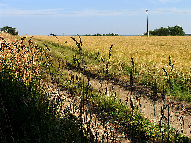
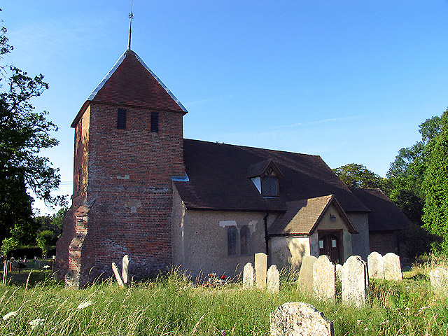
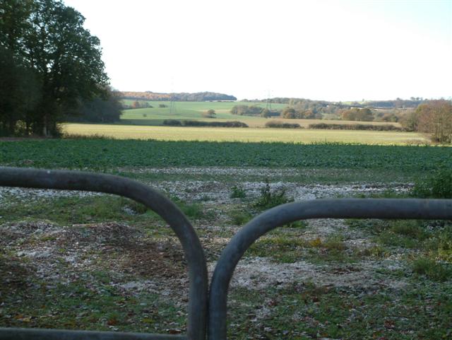
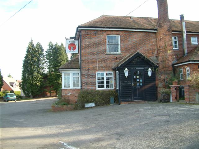
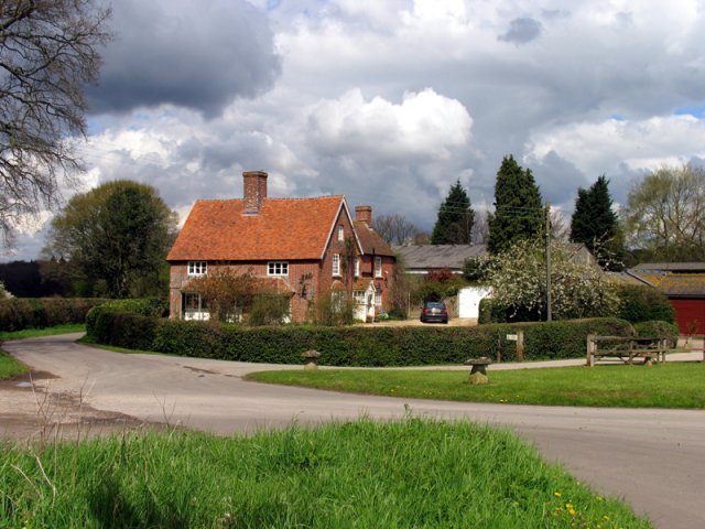
Baughurst Copse Images

Images are sourced within 2km of 51.329193/-1.1652993 or Grid Reference SU5859. Thanks to Geograph Open Source API. All images are credited.

Monk Sherborne Road, Ramsdell
Christ Church, Ramsdell A small Victorian (1867) church of flint walls with red brick accents and stone tracery details. The church is Grade II listed <span class="nowrap"><a title="https://historicengland.org.uk/listing/the-list/list-entry/1173070" rel="nofollow ugc noopener" href="https://historicengland.org.uk/listing/the-list/list-entry/1173070">Link</a><img style="margin-left:2px;" alt="External link" title="External link - shift click to open in new window" src="https://s1.geograph.org.uk/img/external.png" width="10" height="10"/></span>
Christ Church, Ramsdell
A small Victorian (1867) church of flint walls with red brick accents and stone tracery details. The church is Grade II listed LinkExternal link
Farmland near Baughurst This square is largely farmland and a network of minor roads. This view was taken near the footpath, at the intersection in the adjacent square. The view looks southeast along the road.
Farmland near Baughurst
This square is largely farmland and a network of minor roads. This view was taken near the footpath, at the intersection in the adjacent square. The view looks southeast along the road.
St  Stephen's near Baughurst This square is mostly farmland and also contains this church. This view taken from the only spot where one can get the whole building in the picture comfortably, is from the north east.
St Stephen's near Baughurst
This square is mostly farmland and also contains this church. This view taken from the only spot where one can get the whole building in the picture comfortably, is from the north east.
St Stephen's and the graveyard, near Baughurst This view of the church and gravestones, backlit against the late afternoon sun, was taken from more or less the east side of the church. The church is surrounded by the graveyard on three sides, the west side of the church being right on the boundary of the church grounds.
St Stephen's and the graveyard, near Baughurst
This view of the church and gravestones, backlit against the late afternoon sun, was taken from more or less the east side of the church. The church is surrounded by the graveyard on three sides, the west side of the church being right on the boundary of the church grounds.
Paddock near Browning Hill Green This square being largely farmland also has a paddock or two. This paddock is in the north western section of the square.
Paddock near Browning Hill Green
This square being largely farmland also has a paddock or two. This paddock is in the north western section of the square.
Farmland near Stratton Manor This view (where the road takes a sharp turn) shows the entrance to Stratton Manor on the left and the farmland behind the trees is in the east section of the square.
Farmland near Stratton Manor
This view (where the road takes a sharp turn) shows the entrance to Stratton Manor on the left and the farmland behind the trees is in the east section of the square.
A Neat Haystack near Coombe House Farm This square is farmland but also contains Brownhill Copse and two other smaller copses.
A Neat Haystack near Coombe House Farm
This square is farmland but also contains Brownhill Copse and two other smaller copses.
Barley Field near Coombe House Farm The square is currently planted with more than one type of crop. This barley field is in the south western section of the square.
Barley Field near Coombe House Farm
The square is currently planted with more than one type of crop. This barley field is in the south western section of the square.
St Peter's near Tadley Place This square is mostly farmland but also contains the Church of St Peter. The church has a new cemetery and with a new lych gate at its entrance. This new cemetery is opposite the church.
St Peter's near Tadley Place
This square is mostly farmland but also contains the Church of St Peter. The church has a new cemetery and with a new lych gate at its entrance. This new cemetery is opposite the church.
Ramsdell Village Church This picturesque church is by the crossroads in the centre of the village of Ramsdell
Ramsdell Village Church
This picturesque church is by the crossroads in the centre of the village of Ramsdell
The George & Dragon Inn, Towns End
Towns End
Towns End
Portway  to Old Sarum The route of Portway, the old Roman road from Calleva (Silchester) to Old Sarum (Salisbury), and the South Coast. It runs in a straight line to the right of the wood which can be seen to the left of the image, almost directly above the middle of the gates.
Portway to Old Sarum
The route of Portway, the old Roman road from Calleva (Silchester) to Old Sarum (Salisbury), and the South Coast. It runs in a straight line to the right of the wood which can be seen to the left of the image, almost directly above the middle of the gates.
Looking West
Looking West
Looking South
Looking South
West Green
West Green
The White Hart, Charter Alley.
Show me another place!

Baughurst Copse is located at Grid Ref: SU5859 (Lat: 51.329193, Lng: -1.1652993)

Administrative County: Hampshire

District: Basingstoke and Deane

Police Authority: Hampshire

What 3 Words

///crispy.firework.collide. Near Tadley, Hampshire

Related Wikis

Ramsdell

Ramsdell is a small village in the civil parish of Wootton St Lawrence with Ramsdell, in the Basingstoke and Deane district, in the English county of Hampshire...

West Heath, Hampshire

West Heath is a hamlet in the Basingstoke and Deane district of Hampshire, England. It is in the civil parish of Wootton St Lawrence. Its nearest town...

Axmansford

Axmansford is a village in Hampshire, England. It is in the civil parish of Baughurst. == External links == Media related to Axmansford at Wikimedia Commons

Charter Alley

Charter Alley is a village in north east Hampshire, England. According to the Post Office the majority of the population at the 2011 Census was included...

Inhurst

Inhurst is a hamlet in Hampshire, England. It is in the civil parish of Baughurst. == History == Inhurst House was established as a school in the 1960s...

Pamber

Pamber is a civil parish located in the north of Hampshire, England, near the border with Berkshire. The parish population at the 2011 Census was 2,613...
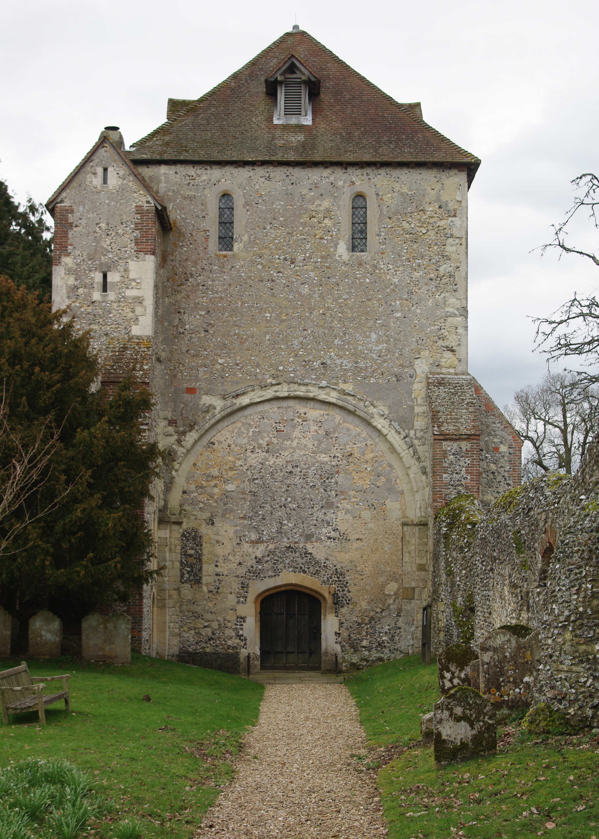
Pamber Priory

Pamber Priory is a Church of England parish church and former priory, then known as West Sherborne Priory or Monk Sherborne Priory, at Monk Sherborne in...

Ron Ward's Meadow With Tadley Pastures

Ron Ward's Meadow With Tadley Pastures is a site of Site of Special Scientific Interest (SSSI). It is based on the edge of Tadley in Hampshire, England...

Nearby Amenities

Located within 500m of 51.329193,-1.1652993
Barrier: kissing_gate
Lat/Long: 51.3325758/-1.1626816
Browning Hill Farm
Landuse: farm
Note Retag: CS #48756035
Lat/Long: 51.3326002/-1.1624478
Barrier: stile
Lat/Long: 51.3261785/-1.1634262
Barrier: stile
Lat/Long: 51.325943/-1.162138
Monts Farm
Landuse: farm
Note Retag: CS #48756035
Lat/Long: 51.3323252/-1.1645915
Browninghill Green
Place: hamlet
Lat/Long: 51.3310465/-1.1622744
The data included in this document is from www.openstreetmap.org. The data is made available under ODbL.

Have you been to Baughurst Copse?

Leave your review of Baughurst Copse below (or comments, questions and feedback).