The Moor's Copse

Wood, Forest in Hampshire Basingstoke and Deane

England

The Moor's Copse

Farmland near Baughurst This square is largely farmland and a network of minor roads. This view was taken near the footpath, at the intersection in the adjacent square. The view looks southeast along the road.
Farmland near Baughurst Credit: Pam Brophy

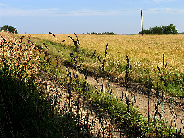
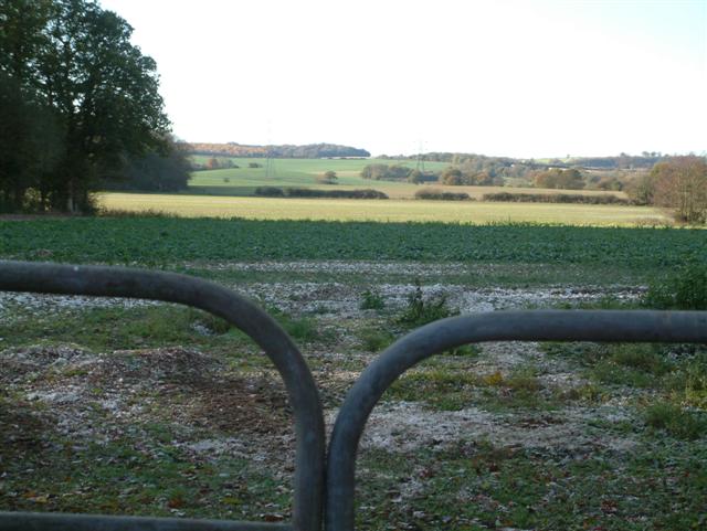
The Moor's Copse is a picturesque woodland located in Hampshire, England. Covering an area of approximately 32 hectares, it is a designated Site of Importance for Nature Conservation (SINC) and a Local Nature Reserve (LNR). The copse is situated near the village of West End and is easily accessible to visitors.

The woodland is predominantly made up of oak and beech trees, creating a dense canopy that provides shelter for a wide variety of wildlife. The forest floor is covered in a thick carpet of bluebells during the spring, creating a stunning display of color. Other native flora found in the copse include primroses, wood anemones, and wild garlic.

The Moor's Copse is home to a diverse range of fauna, including deer, foxes, badgers, and squirrels. Birdwatchers will be delighted to spot species such as tawny owls, woodpeckers, and various songbirds.

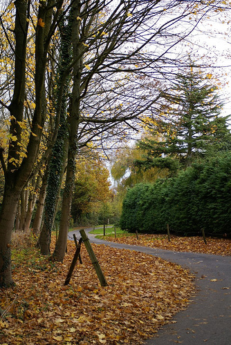
Several well-maintained walking trails wind through the copse, allowing visitors to explore the woodland at their own pace. Interpretive signage along the routes provides information about the flora and fauna found in the area, enhancing the educational experience.

The copse also offers a picnic area and a small car park, making it an excellent destination for families and nature enthusiasts alike. With its tranquil atmosphere, stunning natural beauty, and abundant wildlife, The Moor's Copse is a must-visit location for anyone seeking a peaceful escape into nature.

If you have any feedback on the listing, please let us know in the comments section below.

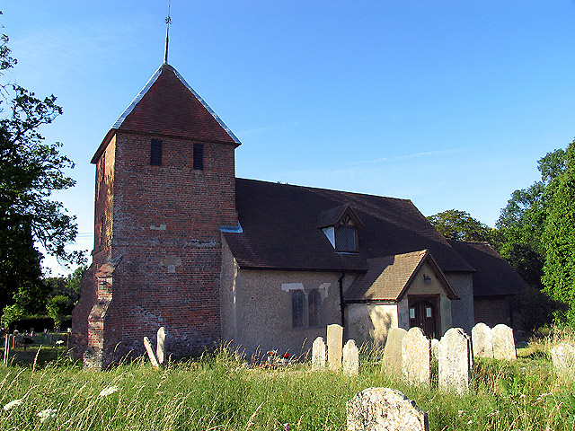
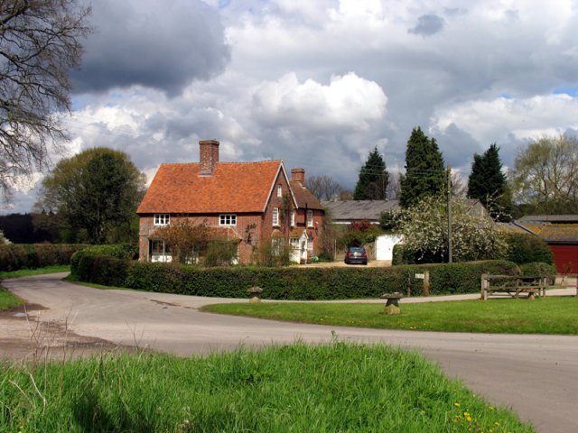
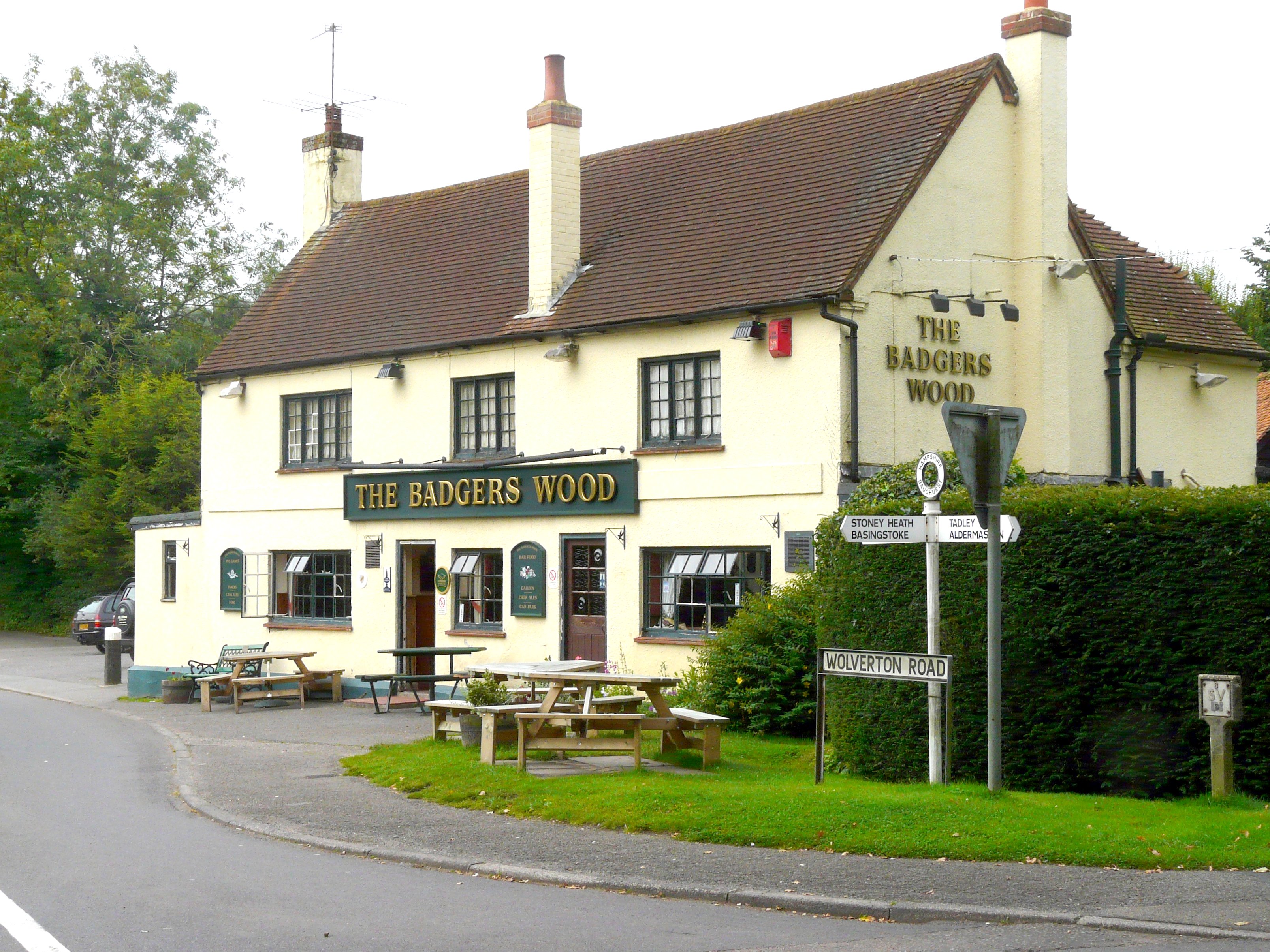
The Moor's Copse Images

Images are sourced within 2km of 51.333884/-1.1687309 or Grid Reference SU5859. Thanks to Geograph Open Source API. All images are credited.

Farmland near Baughurst This square is largely farmland and a network of minor roads. This view was taken near the footpath, at the intersection in the adjacent square. The view looks southeast along the road.
Farmland near Baughurst
This square is largely farmland and a network of minor roads. This view was taken near the footpath, at the intersection in the adjacent square. The view looks southeast along the road.
St  Stephen's near Baughurst This square is mostly farmland and also contains this church. This view taken from the only spot where one can get the whole building in the picture comfortably, is from the north east.
St Stephen's near Baughurst
This square is mostly farmland and also contains this church. This view taken from the only spot where one can get the whole building in the picture comfortably, is from the north east.
St Stephen's and the graveyard, near Baughurst This view of the church and gravestones, backlit against the late afternoon sun, was taken from more or less the east side of the church. The church is surrounded by the graveyard on three sides, the west side of the church being right on the boundary of the church grounds.
St Stephen's and the graveyard, near Baughurst
This view of the church and gravestones, backlit against the late afternoon sun, was taken from more or less the east side of the church. The church is surrounded by the graveyard on three sides, the west side of the church being right on the boundary of the church grounds.
Paddock near Browning Hill Green This square being largely farmland also has a paddock or two. This paddock is in the north western section of the square.
Paddock near Browning Hill Green
This square being largely farmland also has a paddock or two. This paddock is in the north western section of the square.
Farmland near Stratton Manor This view (where the road takes a sharp turn) shows the entrance to Stratton Manor on the left and the farmland behind the trees is in the east section of the square.
Farmland near Stratton Manor
This view (where the road takes a sharp turn) shows the entrance to Stratton Manor on the left and the farmland behind the trees is in the east section of the square.
A Neat Haystack near Coombe House Farm This square is farmland but also contains Brownhill Copse and two other smaller copses.
A Neat Haystack near Coombe House Farm
This square is farmland but also contains Brownhill Copse and two other smaller copses.
Barley Field near Coombe House Farm The square is currently planted with more than one type of crop. This barley field is in the south western section of the square.
Barley Field near Coombe House Farm
The square is currently planted with more than one type of crop. This barley field is in the south western section of the square.
St Peter's near Tadley Place This square is mostly farmland but also contains the Church of St Peter. The church has a new cemetery and with a new lych gate at its entrance. This new cemetery is opposite the church.
St Peter's near Tadley Place
This square is mostly farmland but also contains the Church of St Peter. The church has a new cemetery and with a new lych gate at its entrance. This new cemetery is opposite the church.
The George & Dragon Inn, Towns End
Towns End
Towns End
Portway  to Old Sarum The route of Portway, the old Roman road from Calleva (Silchester) to Old Sarum (Salisbury), and the South Coast. It runs in a straight line to the right of the wood which can be seen to the left of the image, almost directly above the middle of the gates.
Portway to Old Sarum
The route of Portway, the old Roman road from Calleva (Silchester) to Old Sarum (Salisbury), and the South Coast. It runs in a straight line to the right of the wood which can be seen to the left of the image, almost directly above the middle of the gates.
Looking West
Looking West
Looking South
Looking South
Church lane Please drive carefully in this lovely hamlet.
Church lane
Please drive carefully in this lovely hamlet.
West heath snow Best to drive very slowly
West heath snow
Best to drive very slowly
Snow deer Roe deer in field at Stony Heath.
Snow deer
Roe deer in field at Stony Heath.
Autumnal lane Part of the very narrow lane that joins Westheath to Tadley
Autumnal lane
Part of the very narrow lane that joins Westheath to Tadley
Winter fields Looking toward Westheath
Winter fields
Looking toward Westheath
Show me another place!

The Moor's Copse is located at Grid Ref: SU5859 (Lat: 51.333884, Lng: -1.1687309)

Administrative County: Hampshire

District: Basingstoke and Deane

Police Authority: Hampshire

What 3 Words

///conspire.waltzed.madness. Near Tadley, Hampshire

Related Wikis

Axmansford

Axmansford is a village in Hampshire, England. It is in the civil parish of Baughurst. == External links == Media related to Axmansford at Wikimedia Commons

Inhurst

Inhurst is a hamlet in Hampshire, England. It is in the civil parish of Baughurst. == History == Inhurst House was established as a school in the 1960s...

Ramsdell

Ramsdell is a small village in the civil parish of Wootton St Lawrence with Ramsdell, in the Basingstoke and Deane district, in the English county of Hampshire...

West Heath, Hampshire

West Heath is a hamlet in the Basingstoke and Deane district of Hampshire, England. It is in the civil parish of Wootton St Lawrence. Its nearest town...

Ron Ward's Meadow With Tadley Pastures

Ron Ward's Meadow With Tadley Pastures is a site of Site of Special Scientific Interest (SSSI). It is based on the edge of Tadley in Hampshire, England...

Pamber

Pamber is a civil parish located in the north of Hampshire, England, near the border with Berkshire. The parish population at the 2011 Census was 2,613...

Baughurst

Baughurst is a village and civil parish in Hampshire, England. It is located west of the town of Tadley, 6 miles (9.7 km) north of Basingstoke. In the...

Ashford Hill Woods and Meadows

Ashford Hill Woods and Meadows is a 141.5-hectare (350-acre) biological Site of Special Scientific Interest near Ashford Hill in Hampshire. An area of...

Nearby Amenities

Located within 500m of 51.333884,-1.1687309
Barrier: kissing_gate
Lat/Long: 51.3325758/-1.1626816
Barrier: kissing_gate
Lat/Long: 51.3329225/-1.1723658
Barrier: kissing_gate
Lat/Long: 51.3325675/-1.172179
Browning Hill Farm
Landuse: farm
Note Retag: CS #48756035
Lat/Long: 51.3326002/-1.1624478
Church Farm
Landuse: farm
Note Retag: CS #48756035
Lat/Long: 51.3353396/-1.1640196
Hillside Farm
Landuse: farm
Note Retag: CS #48756035
Lat/Long: 51.3323295/-1.1719391
Barrier: kissing_gate
Lat/Long: 51.336419/-1.1703864
Lower Church Farm
Landuse: farm
Note Retag: CS #48756035
Lat/Long: 51.3353552/-1.1668678
Monts Farm
Landuse: farm
Note Retag: CS #48756035
Lat/Long: 51.3323252/-1.1645915
Barrier: stile
Lat/Long: 51.3364243/-1.1708774
Pound Green
Is In: Hampshire, England, UK
Place: hamlet
Lat/Long: 51.3309036/-1.1739702
Post Box
Mapillary: 631742117995594
Post Box Mounting: pier
Post Box Type: lamp
Postal Code: RG26
Ref: RG26 7
Survey Date: 2021-10-16
Lat/Long: 51.331262/-1.1744453
Barrier: kissing_gate
Lat/Long: 51.3350779/-1.1625704
Postal Code: RG26 5LP
Source Postal Code: planning notice
Lat/Long: 51.3368452/-1.1666516
Bus Stop
Baughurst Church
Naptan AtcoCode: 1900HA010547
Naptan Bearing: W
Naptan CommonName: Baughurst Church
Naptan NaptanCode: hamdtjtp
Naptan ShortCommonName: St Stephen's Church
Naptan Street: Baughurst Road
Naptan Verified: no
Source: naptan_import
Lat/Long: 51.3353371/-1.165228
Bus Stop
Baughurst Church
Naptan AtcoCode: 1900HA010548
Naptan Bearing: E
Naptan CommonName: Baughurst Church
Naptan NaptanCode: hamdtjwd
Naptan ShortCommonName: St Stephen's Church
Naptan Street: Baughurst Road
Naptan Verified: no
Source: naptan_import
Lat/Long: 51.335335/-1.1649409
Bus Stop
Pound Green
Naptan AtcoCode: 1900HA010549
Naptan Bearing: SW
Naptan CommonName: Pound Green
Naptan Landmark: Apple Tree Cottage
Naptan NaptanCode: hamdtawp
Naptan Street: Unamed Road
Naptan Verified: no
Source: naptan_import
Lat/Long: 51.3313171/-1.1740426
Bus Stop
Pound Green
Naptan AtcoCode: 1900HA010550
Naptan Bearing: NE
Naptan CommonName: Pound Green
Naptan Landmark: Apple Tree Cottage
Naptan NaptanCode: hamdtawj
Naptan Street: Unamed Road
Naptan Verified: no
Source: naptan_import
Lat/Long: 51.3313447/-1.1741282
Church Green Farm
Landuse: farm
Note Retag: CS #48756035
Source: OS_OpenData_StreetView
Lat/Long: 51.3375353/-1.1675652
Give Way
Source: Hampshire-Aerial-FCIR
Lat/Long: 51.3314334/-1.1739081
The data included in this document is from www.openstreetmap.org. The data is made available under ODbL.

Have you been to The Moor's Copse?

Leave your review of The Moor's Copse below (or comments, questions and feedback).