Dunhum-On-The-Hill

Settlement in Cheshire

England

Dunhum-On-The-Hill

B5132 in Little Barrow
B5132 in Little Barrow Credit: John H Darch

Dunham-On-The-Hill is a small village located in the county of Cheshire, England. Situated on a hilltop in the Cheshire Plain, the village offers scenic views of the surrounding countryside. It is part of the rural district of Cheshire West and Chester.

The village has a rich history dating back to the Roman period, with evidence of Roman occupation found in the area. In fact, a Roman road passes through the village, further highlighting its historical significance. The village also features a Norman church, St. Luke's, which dates back to the 12th century and is a popular attraction for visitors.

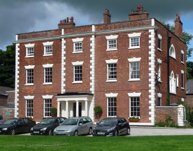
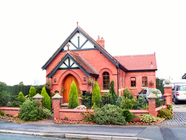
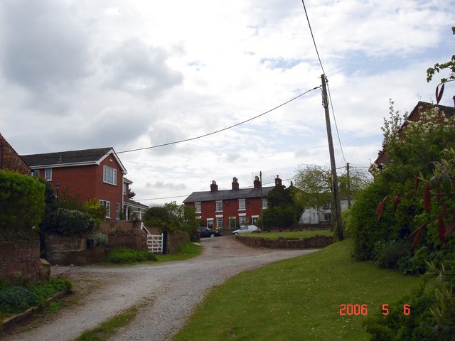
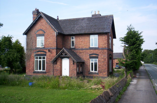
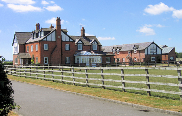
Dunham-On-The-Hill is known for its rural charm and tranquil atmosphere. The village is predominantly residential, with a small population of around 500 people. The houses in the village are a mix of architectural styles, ranging from traditional Cheshire brick cottages to more modern developments.

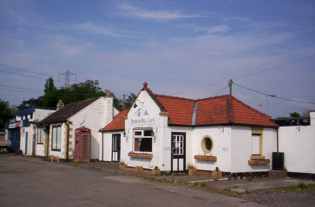
Despite its small size, Dunham-On-The-Hill offers a range of amenities for its residents. These include a village hall, a primary school, a post office, and a local pub. The village also benefits from its proximity to larger towns and cities, with Chester and Liverpool both within easy reach.

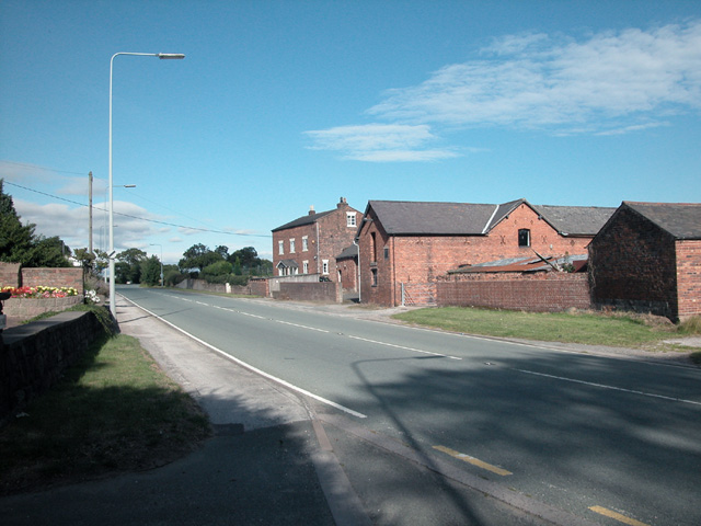
For outdoor enthusiasts, the surrounding countryside provides ample opportunities for walking, cycling, and exploring nature. The village is also well-connected by road, with the A56 passing nearby, providing easy access to the wider region.

Overall, Dunham-On-The-Hill is a charming village with a rich history and a close-knit community. Its picturesque location, combined with its range of amenities and easy access to nearby towns, makes it an appealing place to live or visit.

If you have any feedback on the listing, please let us know in the comments section below.

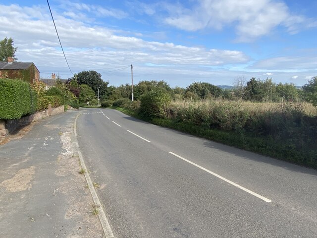
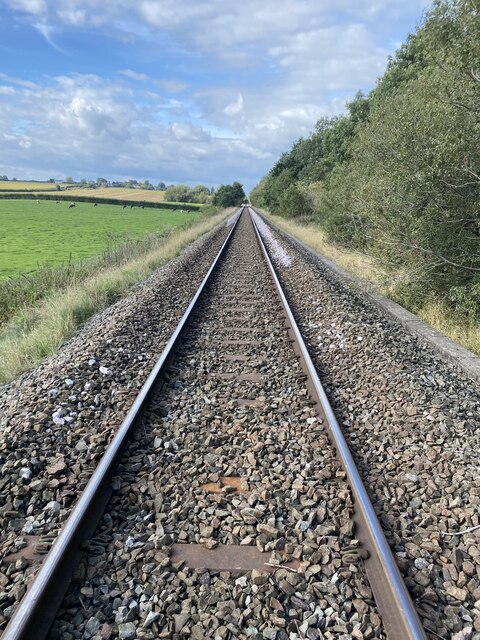
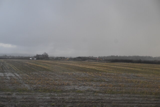
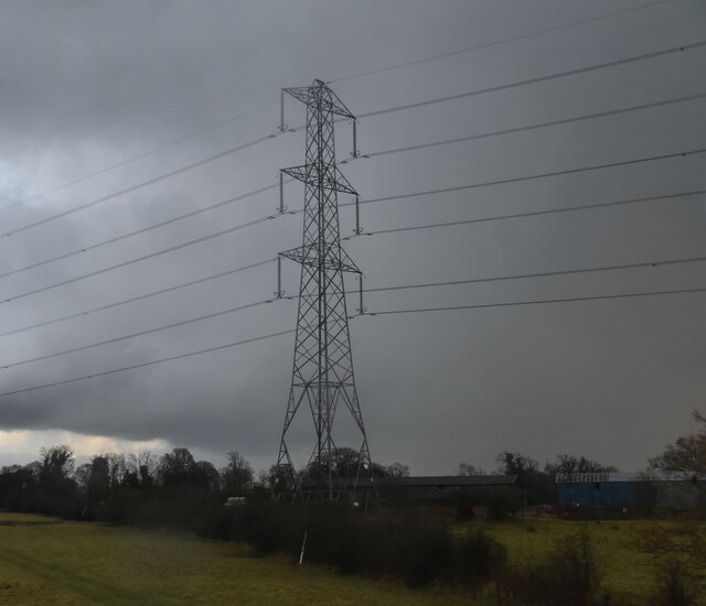
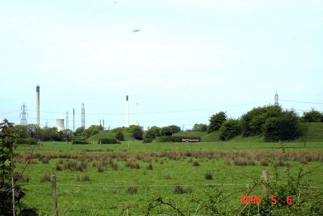
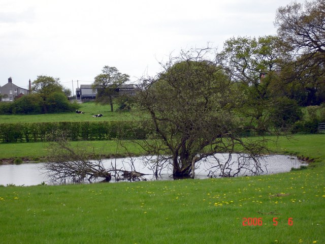
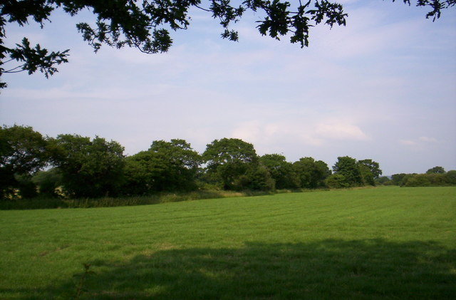
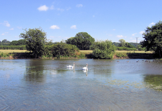
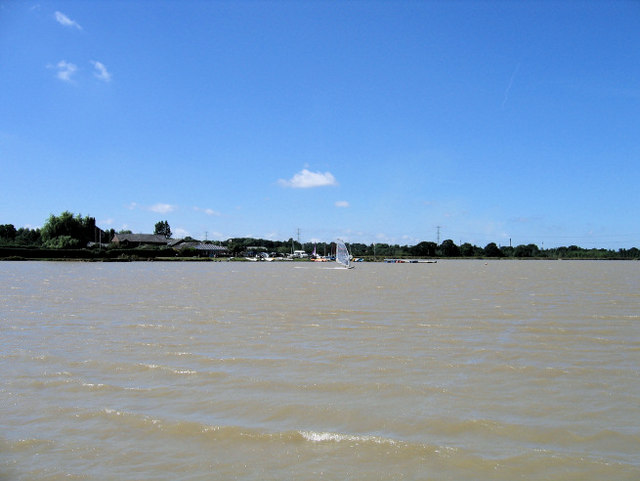
Dunhum-On-The-Hill Images

Images are sourced within 2km of 53.242364/-2.7956406 or Grid Reference SJ4772. Thanks to Geograph Open Source API. All images are credited.

B5132 in Little Barrow
Chester to Northwich railway line East of Little Barrow.
Chester to Northwich railway line
East of Little Barrow.
Waterlogged stubble field
Pylon near Cornhill Farm
Trafford Hall, Wimbolds Trafford A very fine mid-C18th brick house, decorated with wedge lintels, quoins and a Venetian and Diocletian window to the return. Built in 1756 for George Edward Gerard. Grade II* listed.
It was occupied by the National Communities Resource Centre, a charity, but now appears to be "owned by The Regenda Group and operated as a youth hostel and training centre by the Youth Hostels Association" (Wikipedia).
Trafford Hall, Wimbolds Trafford
A very fine mid-C18th brick house, decorated with wedge lintels, quoins and a Venetian and Diocletian window to the return. Built in 1756 for George Edward Gerard. Grade II* listed. It was occupied by the National Communities Resource Centre, a charity, but now appears to be "owned by The Regenda Group and operated as a youth hostel and training centre by the Youth Hostels Association" (Wikipedia).
Farm at Bridge Trafford On A56.
Farm at Bridge Trafford
On A56.
Converted Chapel This stylish private house is a conversion from the former chapel on the A56 just north of Dunham on the Hill.
Converted Chapel
This stylish private house is a conversion from the former chapel on the A56 just north of Dunham on the Hill.
Early cut benchmark outside Station Farmhouse
Dunham-on-the-Hill - earthworks from Rake Lane Photo taken looking north from Rake Lane, west of Dunham-on-the-Hill. The surroundings are flat dairying meadows south of the M56 motorway and only accessible on foot. Shell's Stanlow refinery in the distance, but what are the earthworks that partially cover derelict brick buildings, well-scattered over an area of about 1 sq km hereabouts. There are the remains of a very secure concrete post and wire perimeter fence around the site. Former strategic oil storage? Explosives storage? Camouflaged tank shelters? Has the flavour of a WW-II relic. Recent local information suggests that this was the site of a wartime army camp. Any ideas? Rake Lane is now only partially a public footpath but moves are afoot to restore public access to create a circular route from Dunham. <a href="https://www.geograph.org.uk/gridref/SJ4573">SJ4573</a>
Dunham-on-the-Hill - earthworks from Rake Lane
Photo taken looking north from Rake Lane, west of Dunham-on-the-Hill. The surroundings are flat dairying meadows south of the M56 motorway and only accessible on foot. Shell's Stanlow refinery in the distance, but what are the earthworks that partially cover derelict brick buildings, well-scattered over an area of about 1 sq km hereabouts. There are the remains of a very secure concrete post and wire perimeter fence around the site. Former strategic oil storage? Explosives storage? Camouflaged tank shelters? Has the flavour of a WW-II relic. Recent local information suggests that this was the site of a wartime army camp. Any ideas? Rake Lane is now only partially a public footpath but moves are afoot to restore public access to create a circular route from Dunham. SJ4573
Barrow Lane Farm, Dunham-on-the-Hill Seen from public footpath 400m to the east with pasture and pond in the foreground. This farm lies south of the village on the surrounding low-lying land. Small ponds like this dot the whole Cheshire plain, usually having been dug originally as a source of marl to improve the boulder clay soils for agriculture. Dairy farming country.
Barrow Lane Farm, Dunham-on-the-Hill
Seen from public footpath 400m to the east with pasture and pond in the foreground. This farm lies south of the village on the surrounding low-lying land. Small ponds like this dot the whole Cheshire plain, usually having been dug originally as a source of marl to improve the boulder clay soils for agriculture. Dairy farming country.
Dunham-on-the-Hill - the green Dunham on the Hill is a small farming village on a small sandstone hill rising from the flat Cheshire plain. Local roads cut through the sandstone, which is used as a building material for the older houses and most of the garden walls. The post office is in a villager's house and the excellent and friendly primary school under threat of closure (meaning a commute for the kids - so much for global warming, rural regeneration and education as a priority! T**y B***r, are you listening?).
Dunham-on-the-Hill - the green
Dunham on the Hill is a small farming village on a small sandstone hill rising from the flat Cheshire plain. Local roads cut through the sandstone, which is used as a building material for the older houses and most of the garden walls. The post office is in a villager's house and the excellent and friendly primary school under threat of closure (meaning a commute for the kids - so much for global warming, rural regeneration and education as a priority! T**y B***r, are you listening?).
Pasture near Dunham-on-the-Hill
Cornhill Farm, near Dunham-on-the-Hill
Seen better days Dunham Hill cafe and filling station on the A56. Once a staging post on the road from Manchester to Chester, a victim of the loss of passing trade to the M56
Seen better days
Dunham Hill cafe and filling station on the A56. Once a staging post on the road from Manchester to Chester, a victim of the loss of passing trade to the M56
Swinford House, Dunham Heath Shown on the relevant OS map, I suspect that little remains of the original house that originally stood on this site
Swinford House, Dunham Heath
Shown on the relevant OS map, I suspect that little remains of the original house that originally stood on this site
Swinford House Supplemental to main photograph
Swinford House
Supplemental to main photograph
Manley Mere This is adjacent to a popular watersports centre of the same name.  The latter is a man made lake whereas this is the original mere. A mere is a lake that is broad in relation to its depth
Manley Mere
This is adjacent to a popular watersports centre of the same name. The latter is a man made lake whereas this is the original mere. A mere is a lake that is broad in relation to its depth
Manley Mere watersports centre A popular venue for windsurfing and other watersports <span class="nowrap"><a title="http://www.sail-sports.co.uk/index.html" rel="nofollow ugc noopener" href="http://www.sail-sports.co.uk/index.html">Link</a><img style="margin-left:2px;" alt="External link" title="External link - shift click to open in new window" src="https://s1.geograph.org.uk/img/external.png" width="10" height="10"/></span>
Manley Mere watersports centre
A popular venue for windsurfing and other watersports LinkExternal link
Show me another place!

Dunhum-On-The-Hill is located at Grid Ref: SJ4772 (Lat: 53.242364, Lng: -2.7956406)

Unitary Authority: Cheshire West and Chester

Police Authority: Cheshire

What 3 Words

///giants.sketch.missions. Near Elton, Cheshire

Related Wikis

Dunham-on-the-Hill

Dunham-on-the-Hill is a village and former civil parish, now in the parish of Dunham-on-the-Hill and Hapsford, in the unitary authority of Cheshire West...

Dunham Hill railway station

Dunham Hill railway station was a railway station in Dunham-on-the-Hill, Cheshire. It was opened in 1850 and closed in 1952. Near to the station was a...

St Luke's Church, Dunham on the Hill

St Luke's Church is in the village of Dunham on the Hill, Cheshire, England. It is an active Anglican parish church in the deanery of Frodsham, the archdeaconry...

Trafford Hall

Trafford Hall is an 18th-century country house standing to the east of the village of Wimbolds Trafford in Cheshire, England, about 4+1⁄2 miles (7 km)...

Barrow for Tarvin railway station

Barrow for Tarvin railway station was in Barrow, Cheshire, England. The station was opened by the Cheshire Lines Committee on 1 May 1875 as Tarvin & Barrow...

Bridge Trafford

Bridge Trafford is a hamlet and former civil parish, now in the parish of Mickle Trafford and District, situated near to Chester, in the unitary authority...

Wimbolds Trafford

Wimbolds Trafford is a hamlet and former civil parish, now in the parish of Mickle Trafford and District, in the unitary authority area of Cheshire West...

St Peter's Church, Plemstall

St Peter's Church, Plemstall stands in an isolated position at the end of a country lane near the village of Mickle Trafford, Cheshire, England. It is...

Nearby Amenities

Located within 500m of 53.242364,-2.7956406
Bench
Lat/Long: 53.2455594/-2.7950898
Parking
Parking: layby
Lat/Long: 53.2382161/-2.7950111
Bus Stop
Dunham-on-the-Hill, Warrington Road / Low Hill
Bus: yes
Naptan AtcoCode: 0610CH1209
Naptan Bearing: SW
Naptan CommonName: Low Hill
Naptan Crossing: Low Hill
Naptan Indicator: cnr
Naptan Landmark: Nursery
Naptan LocalityName: Dunham-on-the-Hill
Naptan NaptanCode: chwjwdj
Naptan ShortCommonName: Low Hill
Naptan Street: Warrington Road
Naptan Verified: no
Public Transport: platform
Source: naptan_import
Lat/Long: 53.2446387/-2.7985151
Bus Stop
Dunham-on-the-Hill, Chester Road / Low Hill
Bus: yes
Naptan AtcoCode: 0610CH1210
Naptan Bearing: NE
Naptan CommonName: Low Hill
Naptan Crossing: Low Hill
Naptan Indicator: opp
Naptan Landmark: Low Hill
Naptan LocalityName: Dunham-on-the-Hill
Naptan NaptanCode: chwjwdm
Naptan ShortCommonName: Low Hill
Naptan Street: Chester Road
Naptan Verified: no
Public Transport: platform
Source: naptan_import
Lat/Long: 53.2444706/-2.7989641
Bus Stop
Dunham-on-the-Hill, Low Hill / Town Farm
Bus: yes
Naptan AtcoCode: 0610CH19082
Naptan Bearing: SW
Naptan BusStopType: CUS
Naptan CommonName: Town Farm
Naptan Indicator: o/s
Naptan Landmark: Town Farm
Naptan LocalityName: Dunham-on-the-Hill
Naptan NaptanCode: chwtwdt
Naptan ShortCommonName: Town Farm
Naptan Street: Low Hill
Naptan Verified: no
Public Transport: platform
Source: naptan_import
Lat/Long: 53.2461844/-2.7940504
Power: tower
Lat/Long: 53.2448487/-2.7941286
Power: tower
Lat/Long: 53.2442426/-2.7976952
Barrier: stile
Foot: yes
Lat/Long: 53.2441731/-2.7894914
Fast Food
Dunham Rose
Cuisine: pizza
Lat/Long: 53.2432076/-2.7996655
Dunham Hill Garage
Shop: car_repair
Lat/Long: 53.2433315/-2.7995719
Post Box
Ref: WA6 266
Lat/Long: 53.242937/-2.8002849
The data included in this document is from www.openstreetmap.org. The data is made available under ODbL.

Have you been to Dunhum-On-The-Hill?

Leave your review of Dunhum-On-The-Hill below (or comments, questions and feedback).