Abbotstone Down

Wood, Forest in Hampshire Winchester

England

Abbotstone Down

B3046 Basingstoke Road Towards Basingstoke.
B3046 Basingstoke Road Credit: Robin Webster

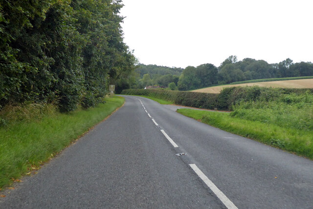
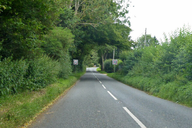
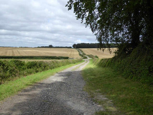
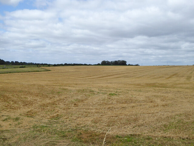
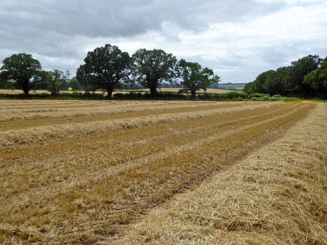
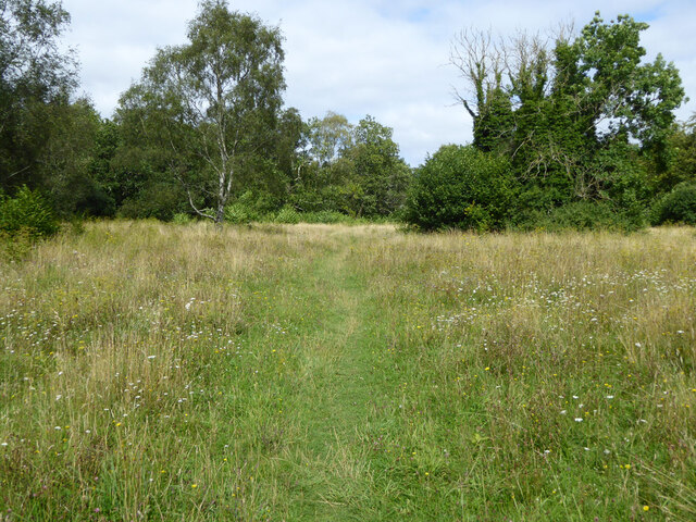
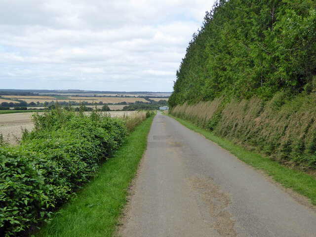
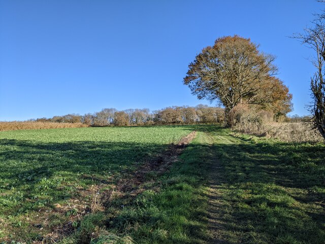
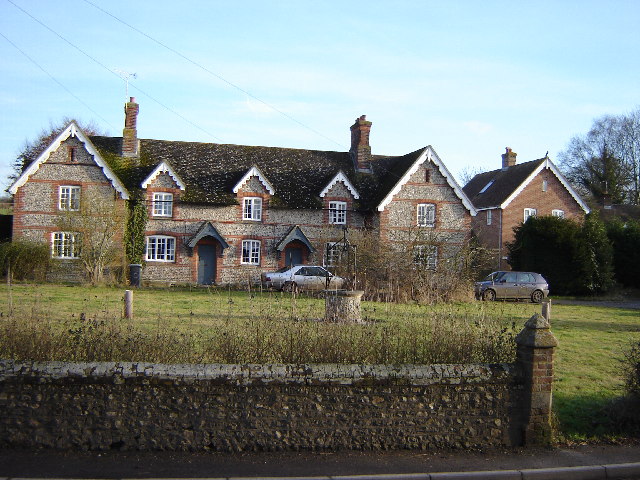
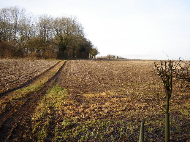
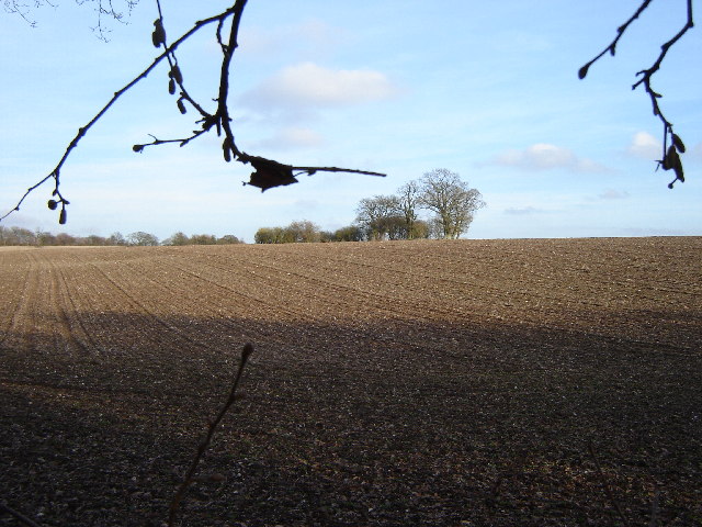
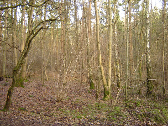
Abbotstone Down is a picturesque area located in Hampshire, England. This beautiful woodland and forest is situated near the village of Abbotstone, offering visitors a serene escape from the hustle and bustle of city life. Spanning over a vast area, Abbotstone Down is known for its diverse range of flora and fauna, making it an ideal spot for nature enthusiasts and hikers.

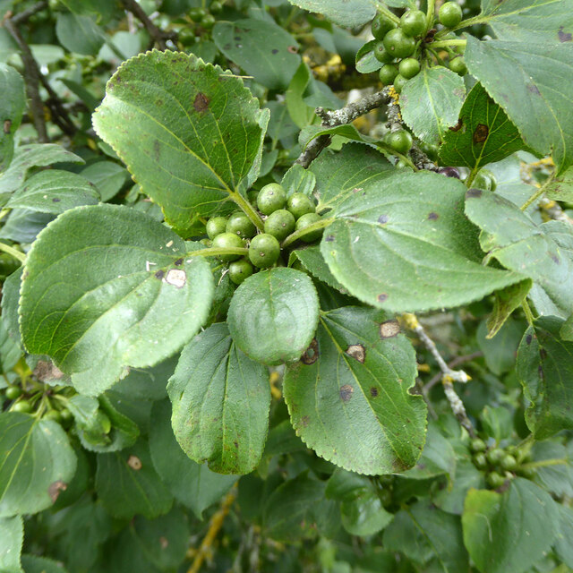
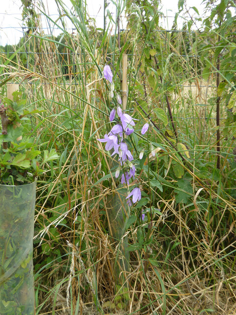
The woodland of Abbotstone Down is home to a variety of tree species, including oak, beech, and ash, which create a dense canopy providing shelter for a wide range of wildlife. Visitors can often spot deer, squirrels, and a variety of bird species, including woodpeckers and owls, as they explore the area.

For those interested in hiking, Abbotstone Down offers numerous trails that wind through the forest, providing stunning views of the surrounding landscape. These trails are well-maintained and suitable for all levels of hikers, making it a popular destination for families and outdoor enthusiasts.

Additionally, Abbotstone Down is steeped in history, with remnants of ancient settlements and burial mounds scattered throughout the area. This adds a sense of intrigue and fascination for those interested in archaeology and history.

Overall, Abbotstone Down is a hidden gem in Hampshire, offering visitors a tranquil escape into nature. With its enchanting woodlands, abundant wildlife, and rich history, it is a must-visit destination for anyone seeking solace and natural beauty.

If you have any feedback on the listing, please let us know in the comments section below.

Abbotstone Down Images

Images are sourced within 2km of 51.119947/-1.1729751 or Grid Reference SU5735. Thanks to Geograph Open Source API. All images are credited.

B3046 Basingstoke Road Towards Basingstoke.
B3046 Basingstoke Road
Towards Basingstoke.
B3046 Basingstoke Road Towards Basingstoke.
B3046 Basingstoke Road
Towards Basingstoke.
Spybush Lane A public bridleway, 173/7/1, Northington. Used by the Wayfarer's Walk trail.
Spybush Lane
A public bridleway, 173/7/1, Northington. Used by the Wayfarer's Walk trail.
Harvested field north of Swarraton Farm
Mown field south of bridleway 127/15/2
Path, Abbotstone Down A Hampshire County Council property, the grassland is very floriferous.
Path, Abbotstone Down
A Hampshire County Council property, the grassland is very floriferous.
Common Toadflax by Spybush Lane Linaria vulgaris is a common plant, happy in dry dusty places, but not particularly so here.
Common Toadflax by Spybush Lane
Linaria vulgaris is a common plant, happy in dry dusty places, but not particularly so here.
Buckthorn by Spybush Lane Rhamnus catharticus is a bush I have seldom encountered, but accounts say it is not particularly uncommon. The curving veins of the leaves and general shape are shared with Dogwood, if in doubt pull a leaf apart lengthwise - Buckthorn breaks cleanly, with Dogwood the veins part with an elastic string between the ends. Here the berries are unripe, they later turn black.
Buckthorn by Spybush Lane
Rhamnus catharticus is a bush I have seldom encountered, but accounts say it is not particularly uncommon. The curving veins of the leaves and general shape are shared with Dogwood, if in doubt pull a leaf apart lengthwise - Buckthorn breaks cleanly, with Dogwood the veins part with an elastic string between the ends. Here the berries are unripe, they later turn black.
Campanula by Spybush Lane A tall showy plant, possibly Campanula latifolia, but that is not very common in the south.
Campanula by Spybush Lane
A tall showy plant, possibly Campanula latifolia, but that is not very common in the south.
Spybush Lane A restricted byway over this part. The tall dense tree belt on the right was sport for a remarkable number of Ravens, surfing and tumbling in the up-draft of the west wind. On both my outward and return passes here, they hid themselves away when I got close, and reassembled when I had passed. So no photographs. There must have been at least a dozen.
Spybush Lane
A restricted byway over this part. The tall dense tree belt on the right was sport for a remarkable number of Ravens, surfing and tumbling in the up-draft of the west wind. On both my outward and return passes here, they hid themselves away when I got close, and reassembled when I had passed. So no photographs. There must have been at least a dozen.
Bridleway near Nettlebed Farm, looking east
Northington Grange The Grange, now an empty shell, was one of the first houses in Europe re-modelled along classical Greek lines. <a href="https://www.geograph.org.uk/photo/149292">SU5636 : The Grange - western facade</a> was the only part of the building not clad in a classical facade.
In the 1970s the owner planned to demolish it and it was only after all the fittings had been sold and the roof removed that the building was rescued by the Department of the Environment. In 1980 it was re-roofed some parts restored. For more see <span class="nowrap"><a title="http://www.astoft.co.uk/grange.htm" rel="nofollow ugc noopener" href="http://www.astoft.co.uk/grange.htm">Link</a><img style="margin-left:2px;" alt="External link" title="External link - shift click to open in new window" src="https://s1.geograph.org.uk/img/external.png" width="10" height="10"/></span>
Northington Grange
The Grange, now an empty shell, was one of the first houses in Europe re-modelled along classical Greek lines. SU5636 : The Grange - western facade was the only part of the building not clad in a classical facade. In the 1970s the owner planned to demolish it and it was only after all the fittings had been sold and the roof removed that the building was rescued by the Department of the Environment. In 1980 it was re-roofed some parts restored. For more see LinkExternal link
A rather small place! Totford, near Alresford. Just a pub! That's all there is!
A rather small place!
Totford, near Alresford. Just a pub! That's all there is!
Cottages in Old Alresford Old Alresford is very pretty but the centre of life has moved to nearby New Alresford which is still very old!
Cottages in Old Alresford
Old Alresford is very pretty but the centre of life has moved to nearby New Alresford which is still very old!
Footpath leading to Thorngrove Copse This square is all farm land surrounding Combe Farm
Footpath leading to Thorngrove Copse
This square is all farm land surrounding Combe Farm
Fields north of Old Alresford This square has nothing but fields a little woodland and a few roads.
Fields north of Old Alresford
This square has nothing but fields a little woodland and a few roads.
Upper Abbotstone Wood near Northington This woodland has been coppiced quite recently.
Upper Abbotstone Wood near Northington
This woodland has been coppiced quite recently.
Lower Abbotstone Wood The Wayfarer's Walk crosses the B3046 at Lower Abbotstone Wood.
Lower Abbotstone Wood
The Wayfarer's Walk crosses the B3046 at Lower Abbotstone Wood.
Show me another place!

Abbotstone Down is located at Grid Ref: SU5735 (Lat: 51.119947, Lng: -1.1729751)

Administrative County: Hampshire

District: Winchester

Police Authority: Hampshire

What 3 Words

///firewall.pulp.saturate. Near New Alresford, Hampshire

Related Wikis

Swarraton

Swarraton is a small village and former civil parish, now in the parish of Northington, in the City of Winchester district of Hampshire, England. It lies...

Northington

Northington is a village and civil parish in the City of Winchester district of Hampshire, England. It lies half a mile from the neighbouring village,...

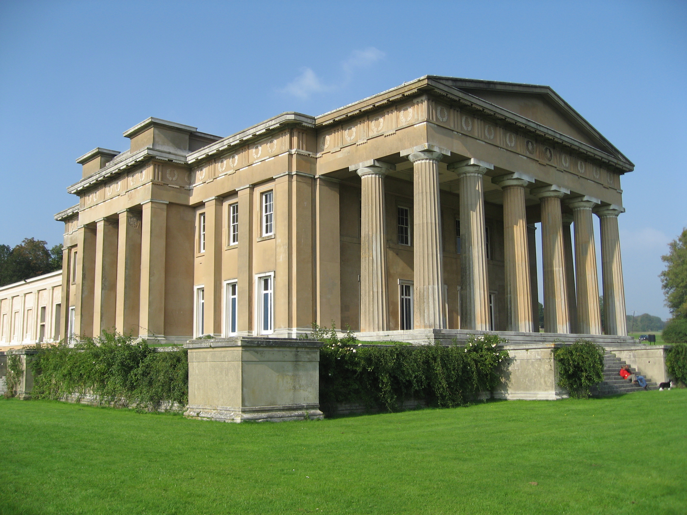
The Grange, Northington

The Grange is a 19th-century country house-mansion and English landscape park near Northington in Hampshire, England. It is currently owned by the Baring...

Old Alresford

Old Alresford ( OLZ-fərd or AWLZ-fərd) is a village and civil parish in Hampshire, England. It is 1 km (0.6 miles) north of the town of New Alresford...

Fobdown

Fobdown is a hamlet in Hampshire, England. It lies 2 miles (3.2 km) north-west from New Alresford. It is in the civil parish of Old Alresford.

Brown Candover

Brown Candover is a village and former civil parish, now in the parish of Candovers, in the Basingstoke and Deane district, in the county of Hampshire...

Old Alresford House

Old Alresford House is an 18th-century Georgian country house in Old Alresford, Hampshire, England. It is a Grade II* listed building.It was built between...
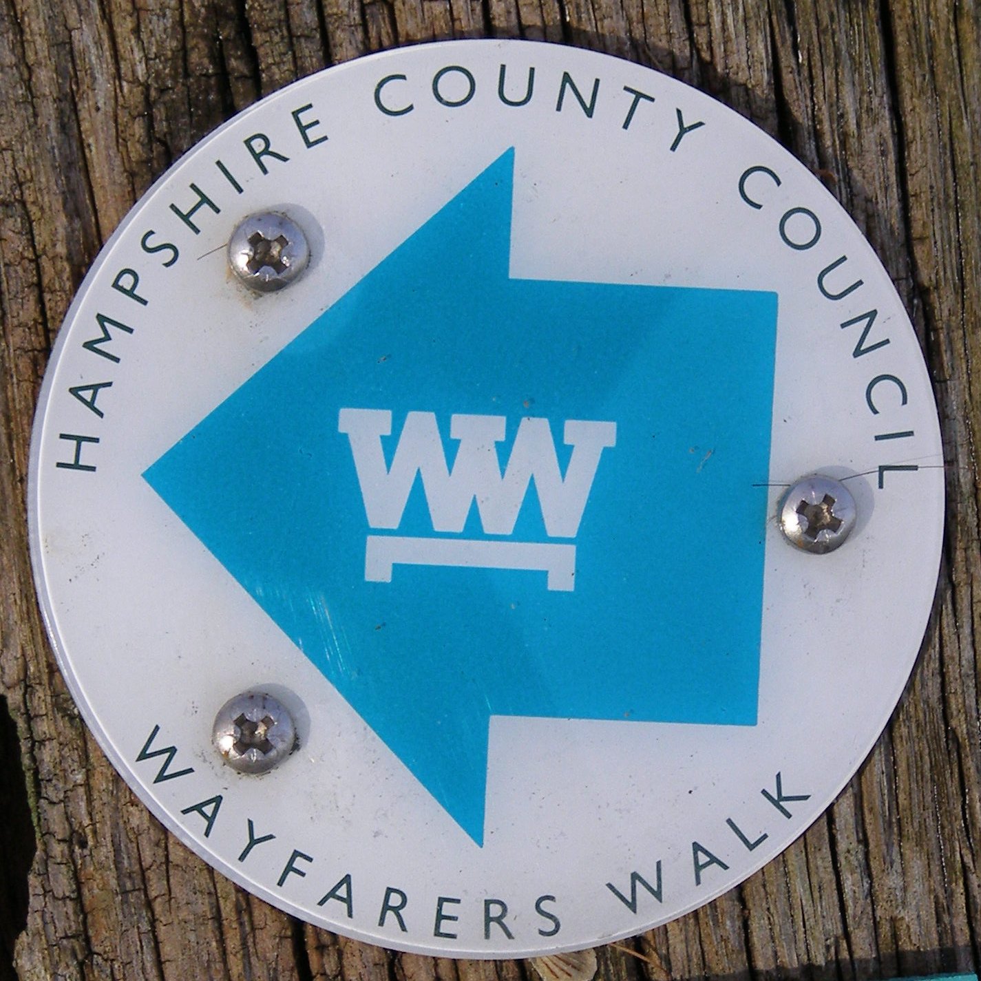
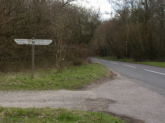
Wayfarer's Walk

The Wayfarer's Walk is a 71 mile long distance footpath in England from Walbury Hill, Berkshire to Emsworth, Hampshire. The north-west end is at the car...

Nearby Amenities

Located within 500m of 51.119947,-1.1729751
Barrier: kissing_gate
Foot: yes
Wheelchair: permissive
Lat/Long: 51.1184824/-1.1687172
Barrier: kissing_gate
Foot: yes
Wheelchair: yes
Lat/Long: 51.1205233/-1.166191
hill settlement
Archaeological Site: earthwork
Historic: archaeological_site
Historic Civilization: iron-age
Note: settlement extends to both sides of road, but only south side is access land. Trees now felled on north side, being managed towards grassland.
Lat/Long: 51.1218287/-1.1668066
Power: pole
Lat/Long: 51.120871/-1.1794934
Power: pole
Lat/Long: 51.1198895/-1.1793378
Power: pole
Lat/Long: 51.117971/-1.1790079
The data included in this document is from www.openstreetmap.org. The data is made available under ODbL.

Have you been to Abbotstone Down?

Leave your review of Abbotstone Down below (or comments, questions and feedback).