Northfield Plantation

Wood, Forest in Hampshire Winchester

England

Northfield Plantation

B3046 Basingstoke Road Towards Basingstoke.
B3046 Basingstoke Road Credit: Robin Webster

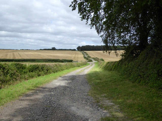
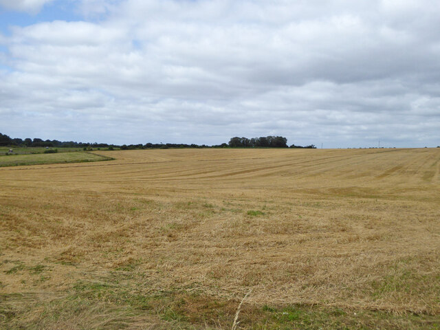
Northfield Plantation is a picturesque estate located in Hampshire, England. Situated amidst a vast expanse of woodland and forest, it offers a serene and tranquil environment for visitors. The plantation covers a significant area, with its boundaries stretching over several acres.

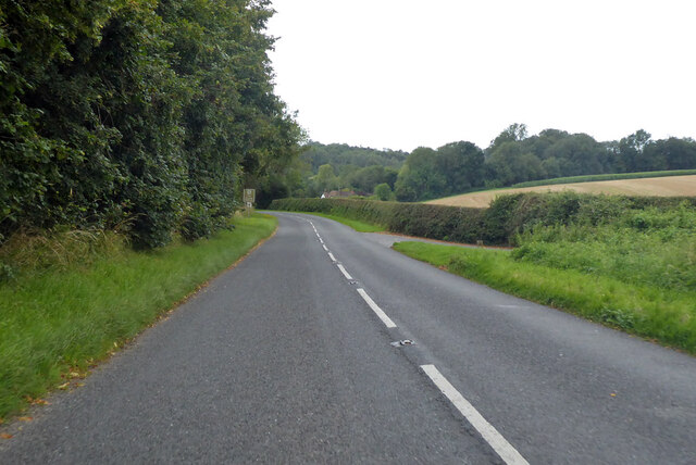
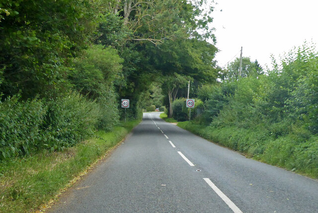
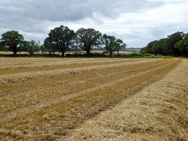
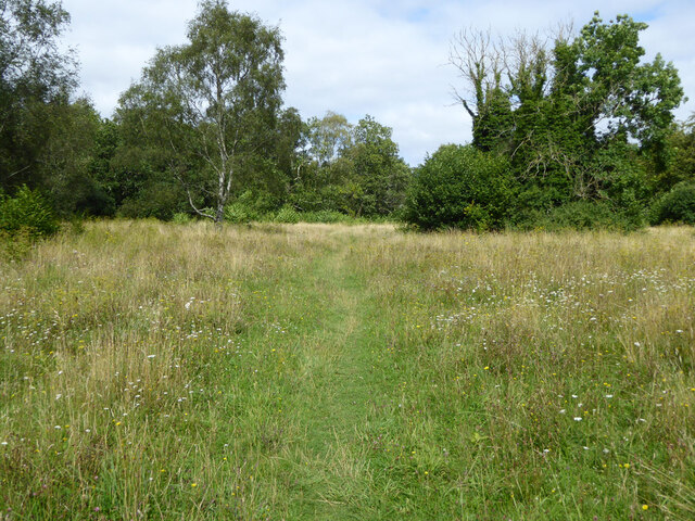
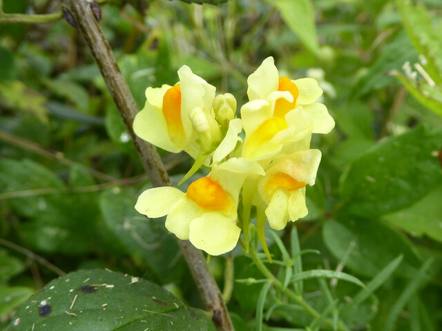
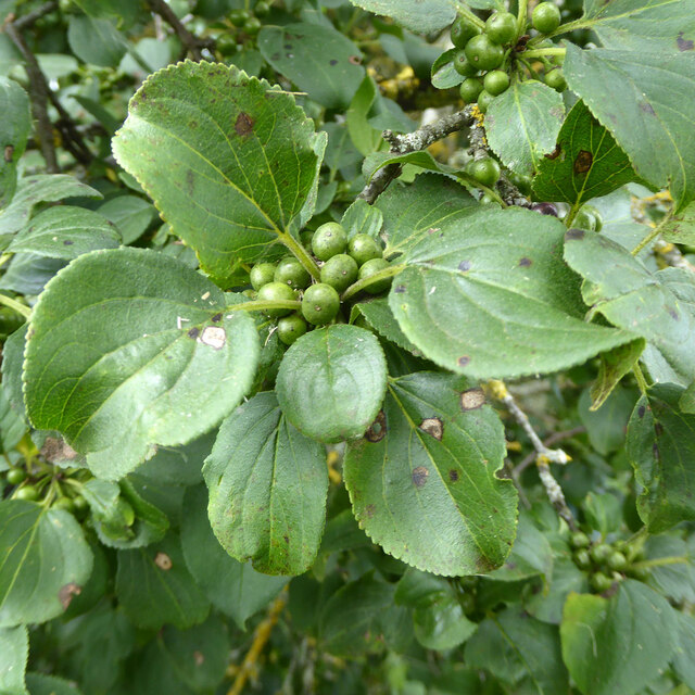
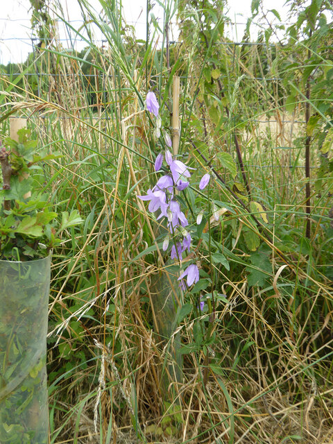
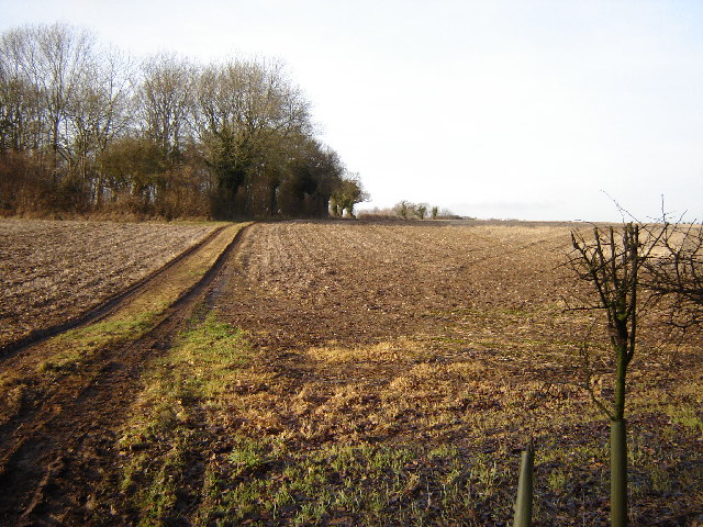
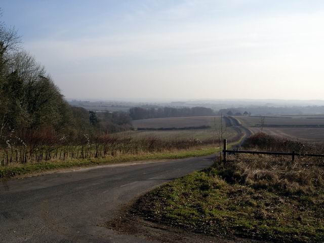
The landscape of Northfield Plantation is characterized by dense woodlands, with towering trees that create a canopy overhead. The forest is home to a diverse range of flora and fauna, including various species of birds, mammals, and insects. The lush greenery and the vibrant colors of wildflowers paint a beautiful picture, making it a haven for nature lovers and wildlife enthusiasts.

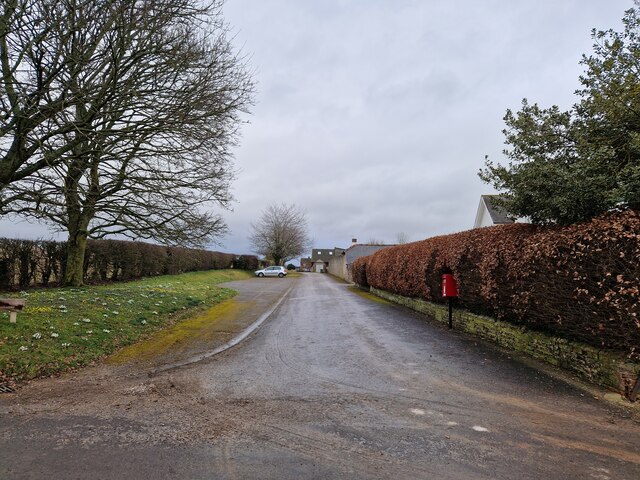
The plantation is equipped with well-maintained walking trails, allowing visitors to explore the natural beauty at their own pace. The paths wind through the forest, offering glimpses of hidden clearings, babbling brooks, and charming ponds. These trails provide an opportunity for visitors to immerse themselves in the serene surroundings and enjoy the therapeutic effects of nature.

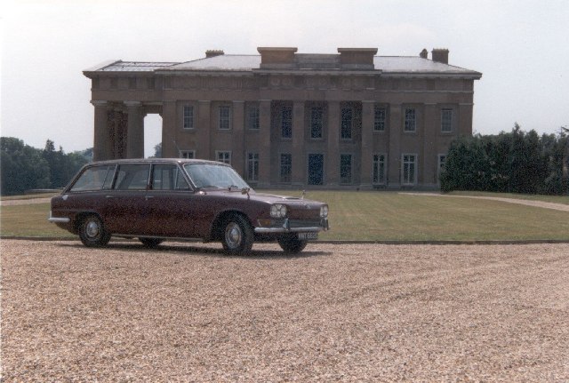
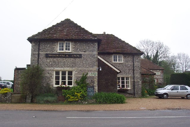
The estate also features a historic manor house, which adds to the charm of Northfield Plantation. The manor is a testament to the rich heritage of the region and offers a glimpse into the past. Its architecture and interior design reflect the grandeur of a bygone era, making it a popular attraction for history enthusiasts.

Overall, Northfield Plantation in Hampshire is a haven of natural beauty, offering a tranquil escape from the hustle and bustle of everyday life. Whether one is seeking solace in nature, exploring the walking trails, or immersing themselves in history, this plantation is a must-visit destination.

If you have any feedback on the listing, please let us know in the comments section below.

Northfield Plantation Images

Images are sourced within 2km of 51.119539/-1.185227 or Grid Reference SU5735. Thanks to Geograph Open Source API. All images are credited.

B3046 Basingstoke Road Towards Basingstoke.
B3046 Basingstoke Road
Towards Basingstoke.
B3046 Basingstoke Road Towards Basingstoke.
B3046 Basingstoke Road
Towards Basingstoke.
Spybush Lane A public bridleway, 173/7/1, Northington. Used by the Wayfarer's Walk trail.
Spybush Lane
A public bridleway, 173/7/1, Northington. Used by the Wayfarer's Walk trail.
Harvested field north of Swarraton Farm
Mown field south of bridleway 127/15/2
Path, Abbotstone Down A Hampshire County Council property, the grassland is very floriferous.
Path, Abbotstone Down
A Hampshire County Council property, the grassland is very floriferous.
Common Toadflax by Spybush Lane Linaria vulgaris is a common plant, happy in dry dusty places, but not particularly so here.
Common Toadflax by Spybush Lane
Linaria vulgaris is a common plant, happy in dry dusty places, but not particularly so here.
Buckthorn by Spybush Lane Rhamnus catharticus is a bush I have seldom encountered, but accounts say it is not particularly uncommon. The curving veins of the leaves and general shape are shared with Dogwood, if in doubt pull a leaf apart lengthwise - Buckthorn breaks cleanly, with Dogwood the veins part with an elastic string between the ends. Here the berries are unripe, they later turn black.
Buckthorn by Spybush Lane
Rhamnus catharticus is a bush I have seldom encountered, but accounts say it is not particularly uncommon. The curving veins of the leaves and general shape are shared with Dogwood, if in doubt pull a leaf apart lengthwise - Buckthorn breaks cleanly, with Dogwood the veins part with an elastic string between the ends. Here the berries are unripe, they later turn black.
Campanula by Spybush Lane A tall showy plant, possibly Campanula latifolia, but that is not very common in the south.
Campanula by Spybush Lane
A tall showy plant, possibly Campanula latifolia, but that is not very common in the south.
Postbox at Pobdown Farm
Cottage opposite the watercress beds being re-thatched
Rush hour in Northington (revisited)
Northington Grange The Grange, now an empty shell, was one of the first houses in Europe re-modelled along classical Greek lines. <a href="https://www.geograph.org.uk/photo/149292">SU5636 : The Grange - western facade</a> was the only part of the building not clad in a classical facade.
In the 1970s the owner planned to demolish it and it was only after all the fittings had been sold and the roof removed that the building was rescued by the Department of the Environment. In 1980 it was re-roofed some parts restored. For more see <span class="nowrap"><a title="http://www.astoft.co.uk/grange.htm" rel="nofollow ugc noopener" href="http://www.astoft.co.uk/grange.htm">Link</a><img style="margin-left:2px;" alt="External link" title="External link - shift click to open in new window" src="https://s1.geograph.org.uk/img/external.png" width="10" height="10"/></span>
Northington Grange
The Grange, now an empty shell, was one of the first houses in Europe re-modelled along classical Greek lines. SU5636 : The Grange - western facade was the only part of the building not clad in a classical facade. In the 1970s the owner planned to demolish it and it was only after all the fittings had been sold and the roof removed that the building was rescued by the Department of the Environment. In 1980 it was re-roofed some parts restored. For more see LinkExternal link
A rather small place! Totford, near Alresford. Just a pub! That's all there is!
A rather small place!
Totford, near Alresford. Just a pub! That's all there is!
St John the Evangelist, Northington This church is set high above the village with nice views.
St John the Evangelist, Northington
This church is set high above the village with nice views.
Footpath leading to Thorngrove Copse This square is all farm land surrounding Combe Farm
Footpath leading to Thorngrove Copse
This square is all farm land surrounding Combe Farm
Road to Abbotstone The road to Abbotstone heads south east from its junction with Northington Road.
Road to Abbotstone
The road to Abbotstone heads south east from its junction with Northington Road.
Crossroads at Abbotstone Abbotstone is the site of an abandoned medieval village. There are just a few houses here today.
Crossroads at Abbotstone
Abbotstone is the site of an abandoned medieval village. There are just a few houses here today.
Show me another place!

Northfield Plantation is located at Grid Ref: SU5735 (Lat: 51.119539, Lng: -1.185227)

Administrative County: Hampshire

District: Winchester

Police Authority: Hampshire

What 3 Words

///loosed.yelled.gateway. Near New Alresford, Hampshire

Related Wikis

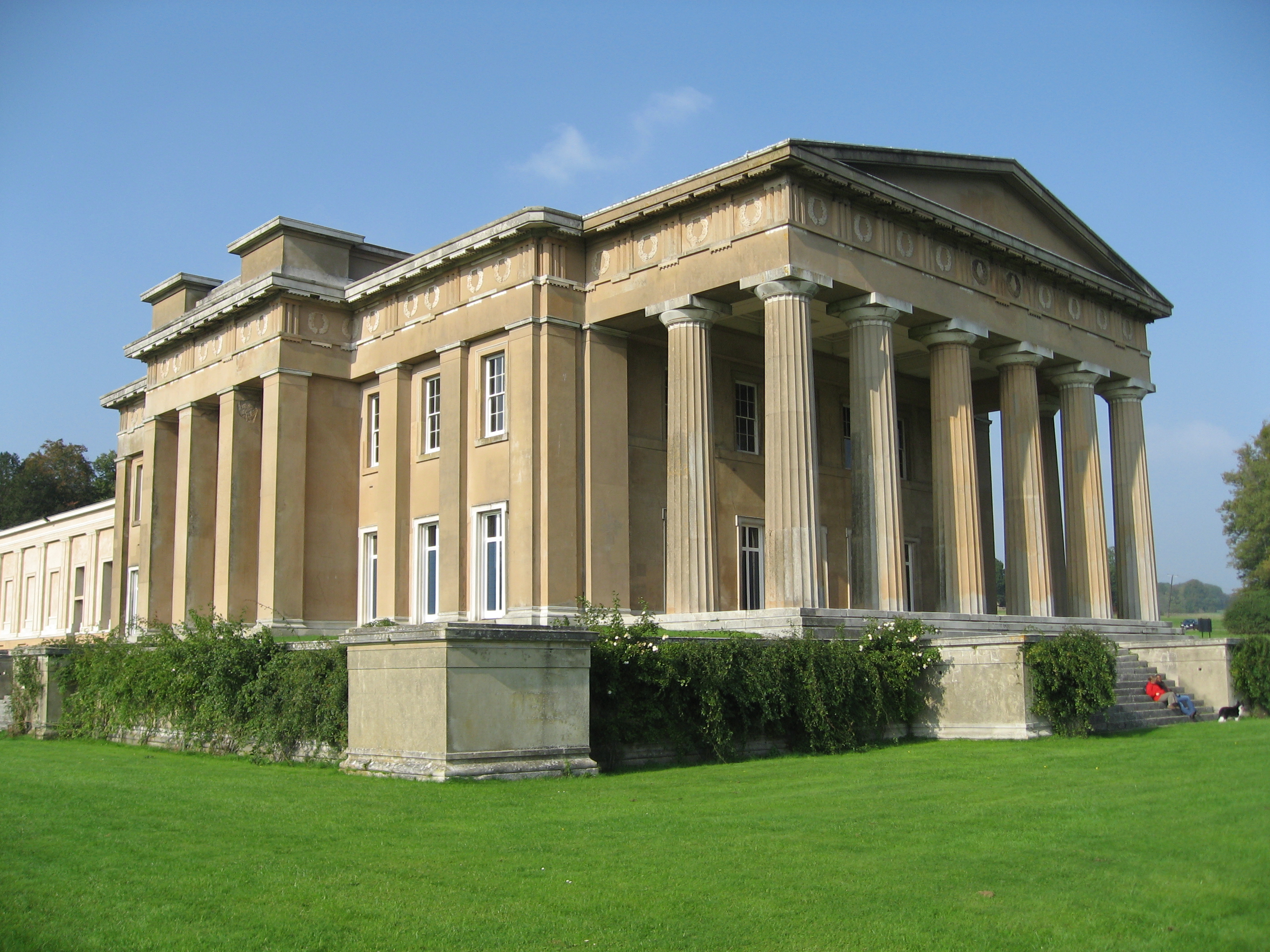
The Grange, Northington

The Grange is a 19th-century country house-mansion and English landscape park near Northington in Hampshire, England. It is currently owned by the Baring...

Swarraton

Swarraton is a small village and former civil parish, now in the parish of Northington, in the City of Winchester district of Hampshire, England. It lies...

Northington

Northington is a village and civil parish in the City of Winchester district of Hampshire, England. It lies half a mile from the neighbouring village,...

Fobdown

Fobdown is a hamlet in Hampshire, England. It lies 2 miles (3.2 km) north-west from New Alresford. It is in the civil parish of Old Alresford.

Northington Down

Northington Down is a hamlet in the civil parish of Northington in the City of Winchester district of Hampshire, England. Its nearest town is New Alresford...

Brown Candover

Brown Candover is a village and former civil parish, now in the parish of Candovers, in the Basingstoke and Deane district, in the county of Hampshire...

Old Alresford

Old Alresford ( OLZ-fərd or AWLZ-fərd) is a village and civil parish in Hampshire, England. It is 1 km (0.6 miles) north of the town of New Alresford...

Old Alresford House

Old Alresford House is an 18th-century Georgian country house in Old Alresford, Hampshire, England. It is a Grade II* listed building.It was built between...

Nearby Amenities

Located within 500m of 51.119539,-1.185227
Power: pole
Lat/Long: 51.1220158/-1.1796999
Power: pole
Lat/Long: 51.120871/-1.1794934
Power: pole
Lat/Long: 51.1198895/-1.1793378
Power: pole
Lat/Long: 51.117971/-1.1790079
The data included in this document is from www.openstreetmap.org. The data is made available under ODbL.

Have you been to Northfield Plantation?

Leave your review of Northfield Plantation below (or comments, questions and feedback).