Stew's Copse
Wood, Forest in Hampshire Basingstoke and Deane
England
Stew's Copse

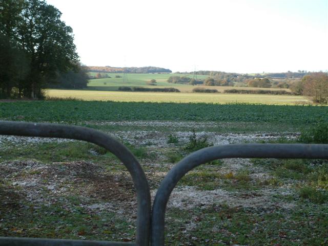
Stew's Copse is a picturesque woodland located in Hampshire, England. Covering an area of approximately 20 hectares, it is a popular destination for nature enthusiasts and locals seeking a peaceful retreat. The copse is situated near the village of West Wellow, just a few miles west of Romsey.
The woodland is characterized by a diverse range of tree species, including oak, beech, ash, and hazel. These towering trees create a dense canopy, casting dappled sunlight onto the forest floor. The copse is also home to an array of wildlife, such as deer, foxes, badgers, and various bird species, making it a haven for wildlife enthusiasts and birdwatchers.
Stew's Copse boasts several walking trails that wind through the woodland, offering visitors the opportunity to explore its natural beauty. The trails are well-maintained and vary in length, catering to both casual strollers and more adventurous hikers. Along the way, visitors can enjoy the tranquil atmosphere, with the rustling of leaves and the songs of birds providing a soothing soundtrack.
The copse is managed by the Hampshire County Council, which ensures the preservation and conservation of the woodland. This includes regular maintenance of paths, tree management, and the protection of wildlife habitats. The council also organizes educational events and guided walks to raise awareness about the importance of preserving this natural treasure.
Overall, Stew's Copse is a hidden gem in Hampshire, offering visitors a chance to connect with nature and escape the hustle and bustle of daily life. Its serene beauty, diverse wildlife, and well-kept trails make it a must-visit destination for anyone seeking a tranquil woodland experience.
If you have any feedback on the listing, please let us know in the comments section below.
Stew's Copse Images
Images are sourced within 2km of 51.316373/-1.1720176 or Grid Reference SU5757. Thanks to Geograph Open Source API. All images are credited.


Stew's Copse is located at Grid Ref: SU5757 (Lat: 51.316373, Lng: -1.1720176)
Administrative County: Hampshire
District: Basingstoke and Deane
Police Authority: Hampshire
What 3 Words
///wimp.paramedic.track. Near Sherborne St John, Hampshire
Nearby Locations
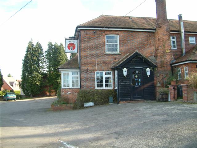
Related Wikis

Ramsdell
Ramsdell is a small village in the civil parish of Wootton St Lawrence with Ramsdell, in the Basingstoke and Deane district, in the English county of Hampshire...

Ewhurst, Hampshire
Ewhurst is a village in Hampshire, England, and 6.2 miles (10.0 km) northwest of Basingstoke. Its parish church dates from 1682. The village itself is...
West Heath, Hampshire
West Heath is a hamlet in the Basingstoke and Deane district of Hampshire, England. It is in the civil parish of Wootton St Lawrence. Its nearest town...
Charter Alley
Charter Alley is a village in north east Hampshire, England. According to the Post Office the majority of the population at the 2011 Census was included...
Wolverton Common
Wolverton Common is a hamlet in north Hampshire, England. Its nearest town is Tadley, which lies approximately 2.5 miles (4 km) east from the hamlet....
Wolverton, Hampshire
Wolverton is a village in north Hampshire, England. It is within the civil parish of Baughurst, and located approximately 7 miles (11 km) from both Newbury...
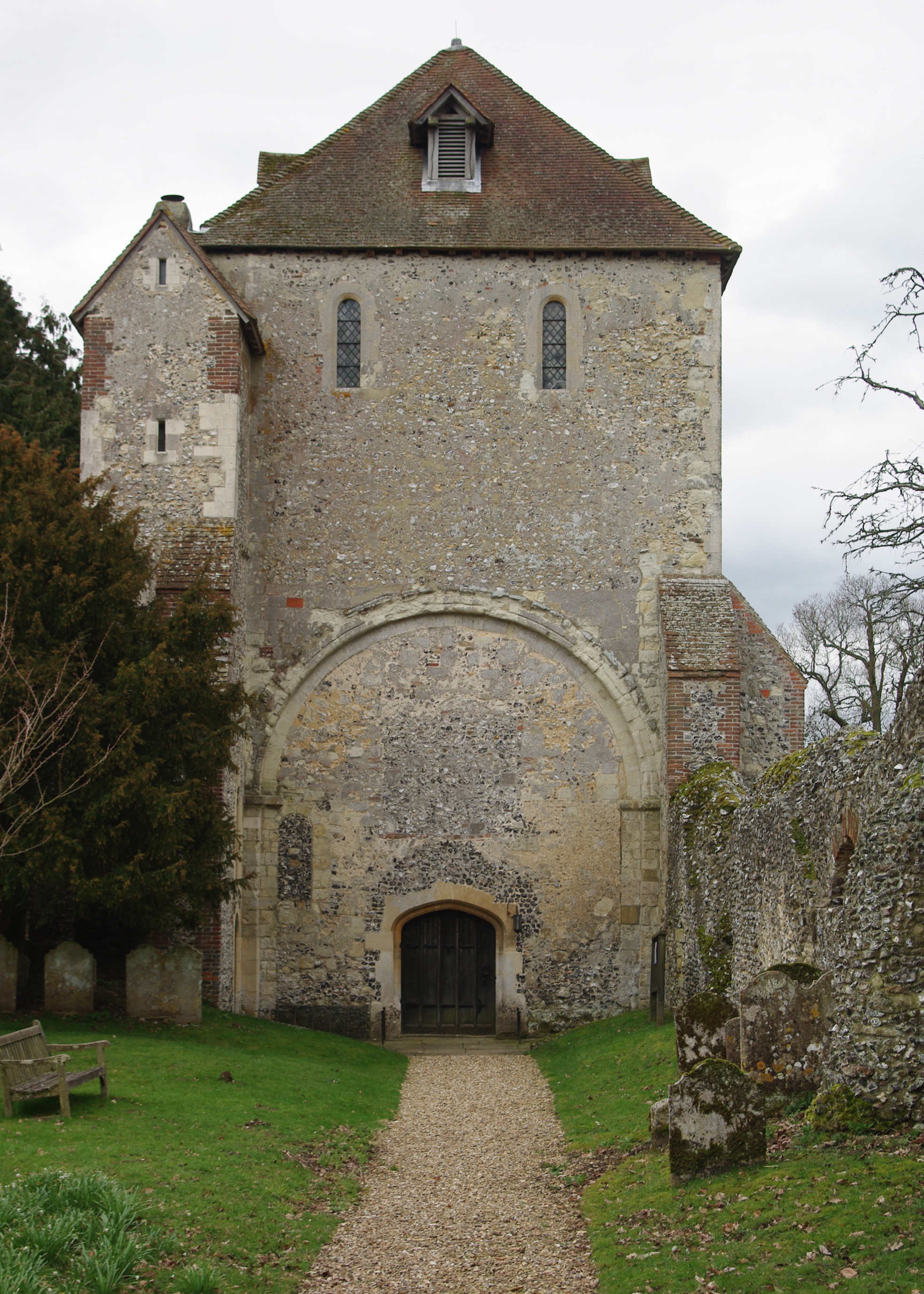
Pamber Priory
Pamber Priory is a Church of England parish church and former priory, then known as West Sherborne Priory or Monk Sherborne Priory, at Monk Sherborne in...

Axmansford
Axmansford is a village in Hampshire, England. It is in the civil parish of Baughurst. == External links == Media related to Axmansford at Wikimedia Commons
Nearby Amenities
Located within 500m of 51.316373,-1.1720176Have you been to Stew's Copse?
Leave your review of Stew's Copse below (or comments, questions and feedback).