Bainton Spinney
Wood, Forest in Oxfordshire Cherwell
England
Bainton Spinney

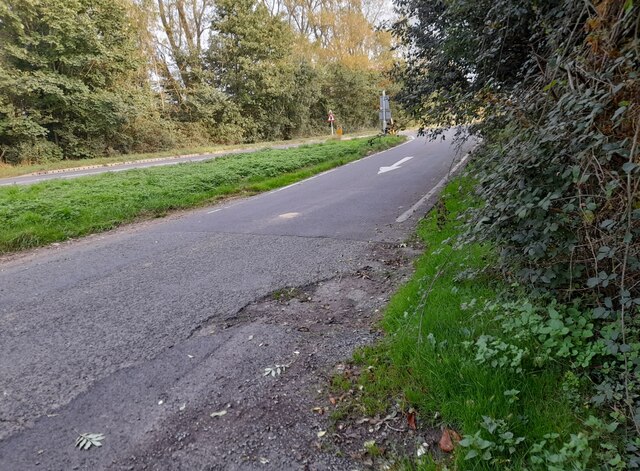
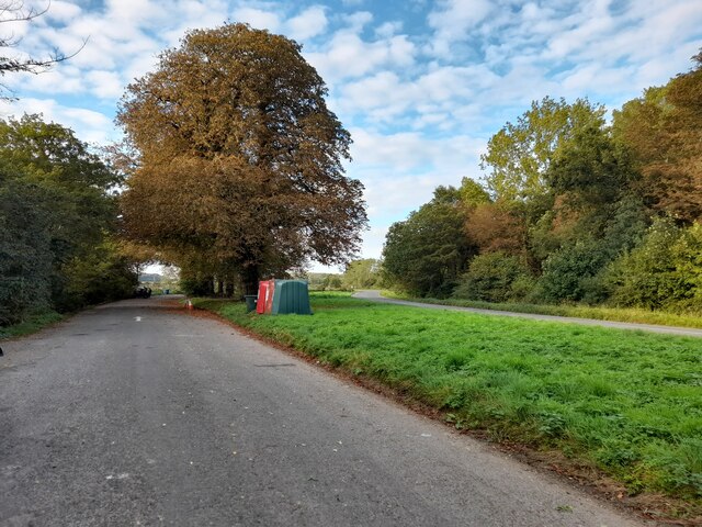
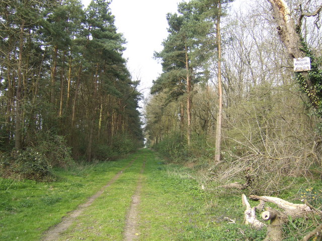
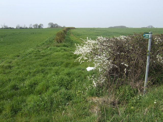
Bainton Spinney, located in Oxfordshire, England, is a picturesque woodland area known for its natural beauty and diverse ecosystems. Covering an area of approximately 50 acres, this enchanting spinney offers a tranquil retreat for nature lovers and outdoor enthusiasts.
The wood is composed mainly of native deciduous trees, including oak, beech, and birch, interspersed with patches of vibrant wildflowers and ferns. The lush green canopy provides a sheltered habitat for a wide variety of wildlife, such as squirrels, rabbits, and numerous bird species, making it a popular spot for birdwatching.
Trails wind through the spinney, allowing visitors to explore its enchanting beauty at their leisure. The paths are well-maintained and accessible, making it suitable for all ages and abilities. Along the way, benches and picnic spots are scattered, inviting visitors to relax and soak in the serenity of the surroundings.
Bainton Spinney is also home to a rich array of plant species, including bluebells, primroses, and wood anemones, which create a stunning display of colors during the spring months. In autumn, the spinney transforms into a tapestry of golden hues as the leaves change, offering a breathtaking sight to behold.
The wood is open to the public year-round, with no admission fees or restrictions. It is managed by local authorities and conservation groups to ensure its preservation and sustainability. Educational events and guided walks are occasionally organized to promote awareness of the local flora and fauna.
Bainton Spinney, with its serene atmosphere and natural charm, is a hidden gem in Oxfordshire, attracting visitors who seek solace in the beauty of nature.
If you have any feedback on the listing, please let us know in the comments section below.
Bainton Spinney Images
Images are sourced within 2km of 51.936561/-1.1607265 or Grid Reference SP5726. Thanks to Geograph Open Source API. All images are credited.


Bainton Spinney is located at Grid Ref: SP5726 (Lat: 51.936561, Lng: -1.1607265)
Administrative County: Oxfordshire
District: Cherwell
Police Authority: Thames Valley
What 3 Words
///blitz.rewrites.spoil. Near Bicester, Oxfordshire
Nearby Locations
Related Wikis

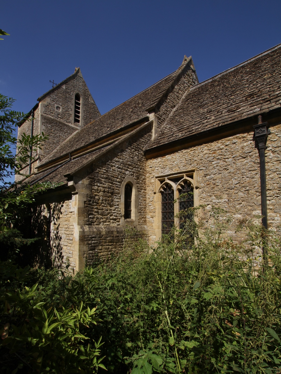
Bainton, Oxfordshire
Bainton is a hamlet comprising a cluster of farms in the civil parish of Stoke Lyne, about 3 miles (5 km) north of the centre of Bicester. == History... ==
Caversfield
Caversfield is a village and civil parish about 1+1⁄2 miles (2.4 km) north of the centre of Bicester. In 1844 Caversfield became part of Oxfordshire, but...

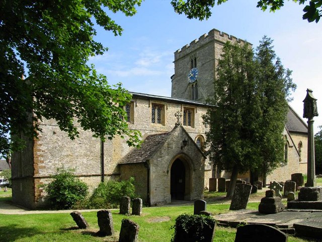
Stoke Lyne
Stoke Lyne is a village and civil parish about 4 miles (6.4 km) north of Bicester, Oxfordshire in southern England. == Etymology == The name Stoke Lyne...
Bucknell, Oxfordshire
Bucknell is a village and civil parish 2+1⁄2 miles (4 km) northwest of Bicester in Oxfordshire, England. The 2011 Census recorded the parish's population...

Hardwick, Cherwell
Hardwick is a village in the civil parish of Hardwick with Tusmore about 4.5 miles (7 km) north of Bicester in Oxfordshire. == Manor == The village's toponym...
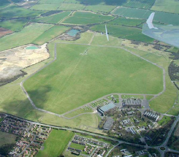
Bicester Airfield
Bicester Aerodrome, formerly RAF Bicester, is a private airfield on the outskirts of the English town of Bicester in Oxfordshire. Dating back to 1916,...

Cherwell Valley services
Cherwell Valley services is a motorway service station on the M40 motorway at Stoke Lyne, near Bicester, in Oxfordshire, England. In August 2011 it was...

Bure Park
Bure Park is a 8.4-hectare (21-acre) Local Nature Reserve in Bicester in Oxfordshire. It is owned by Bicester Town Council and managed by Cherwell District...
Nearby Amenities
Located within 500m of 51.936561,-1.1607265Have you been to Bainton Spinney?
Leave your review of Bainton Spinney below (or comments, questions and feedback).