Oak Wood

Wood, Forest in Nottinghamshire Gedling

England

Oak Wood

Robin Hood Way, west of Seven Mile Wood, Papplewick
Robin Hood Way, west of Seven Mile Wood, Papplewick Credit: Colin Park

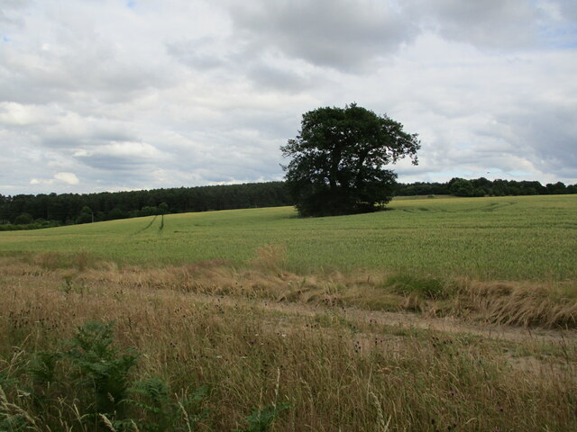
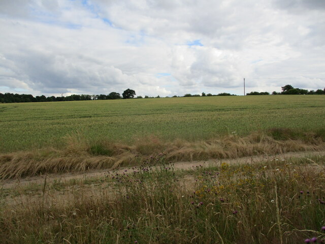
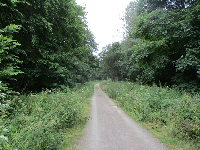
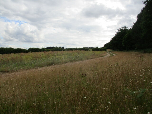
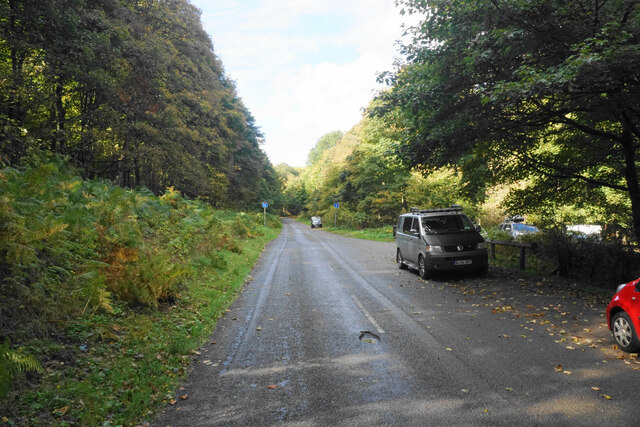
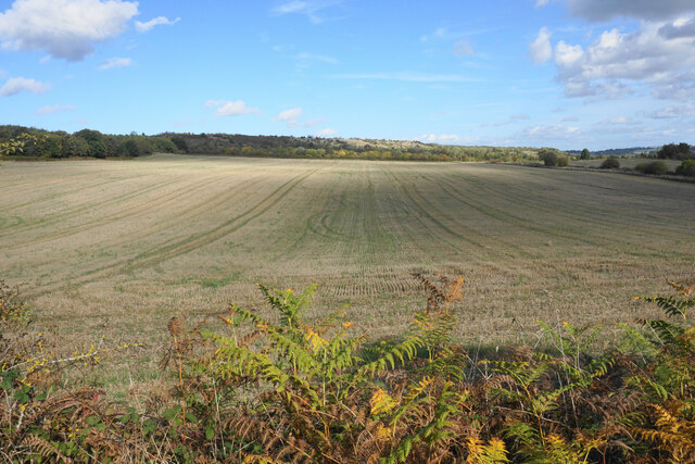
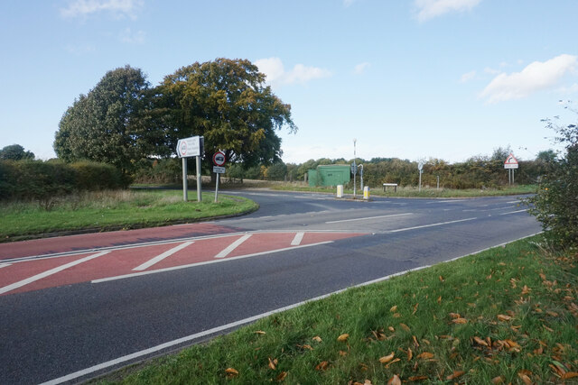
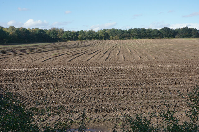
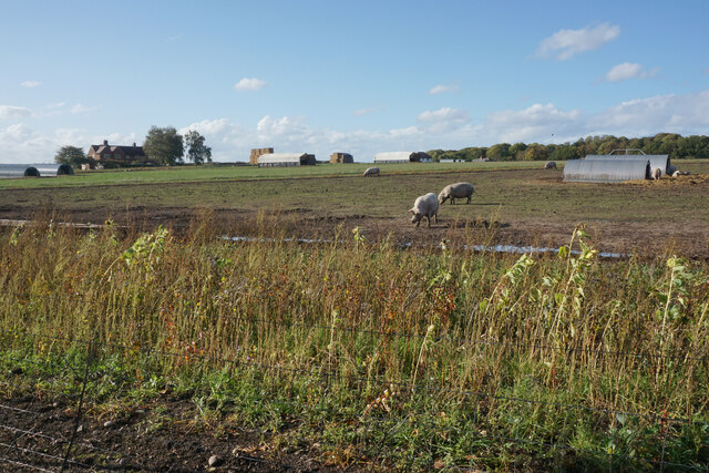
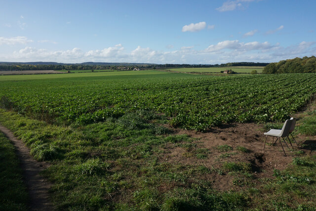
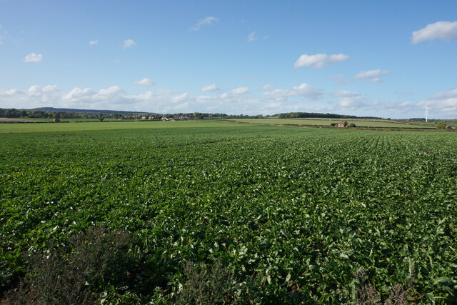
Oak Wood is a picturesque forest located in the county of Nottinghamshire, England. Covering a vast area of approximately 1,500 acres, this ancient woodland is a haven for nature enthusiasts and outdoor adventurers alike.

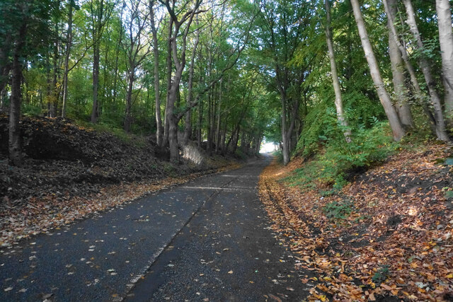
The forest is primarily composed of oak trees, hence its name, with their towering trunks and sprawling branches creating a dense canopy that filters sunlight, providing a cool and serene atmosphere throughout the year. The age of these majestic oaks is estimated to be several centuries, lending an air of timelessness to the woodland.

Oak Wood is home to a diverse range of wildlife, offering a rich and vibrant ecosystem. Visitors may come across various bird species such as woodpeckers, owls, and thrushes, as well as mammals including foxes, badgers, and deer. The forest floor is adorned with an array of wildflowers, adding bursts of color to the otherwise green landscape.

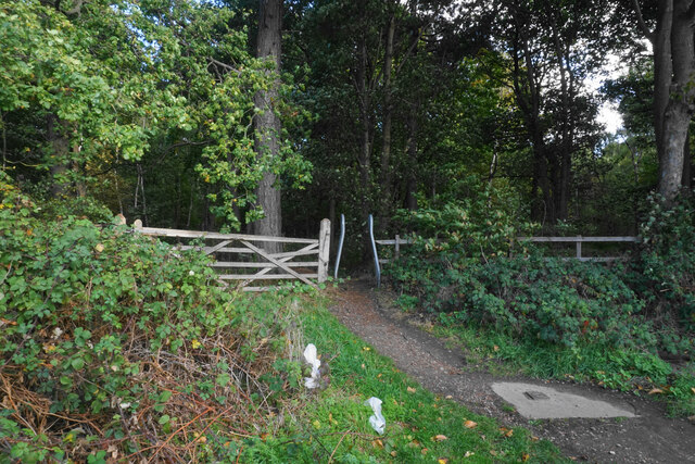
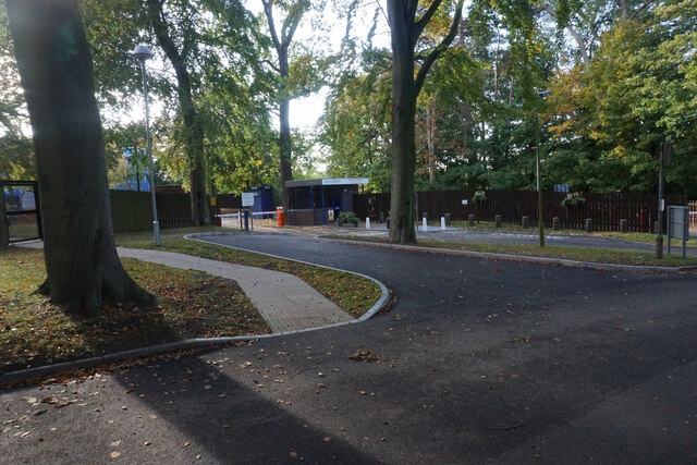
For those seeking outdoor activities, Oak Wood provides an extensive network of walking trails and cycling paths that wind through the forest. These paths cater to all levels of fitness and offer the opportunity to explore the woodland's nooks and crannies. Additionally, there are designated picnic areas and viewpoints, allowing visitors to take in the breathtaking scenery and enjoy a peaceful moment surrounded by nature.

Oak Wood, Nottinghamshire, is a true gem for nature lovers, offering a tranquil retreat from the hustle and bustle of everyday life. Whether one desires a leisurely stroll, a challenging hike, or a peaceful picnic, this ancient woodland provides an idyllic setting for all.

If you have any feedback on the listing, please let us know in the comments section below.

Oak Wood Images

Images are sourced within 2km of 53.051519/-1.1423953 or Grid Reference SK5750. Thanks to Geograph Open Source API. All images are credited.

Robin Hood Way, west of Seven Mile Wood, Papplewick
Isolated tree near Sansom Wood Watchwood Plantation in the distance.
Isolated tree near Sansom Wood
Watchwood Plantation in the distance.
Wheat field near Sansom Wood
Track in Sansom Wood This is also a public footpath.
Track in Sansom Wood
This is also a public footpath.
Farm track alongside Sansom Wood
Gravelly Hollow This road has been blocked off at the far end, so now it is purely an access road for Watchwood Plantation. This is by the main parking area.
Gravelly Hollow
This road has been blocked off at the far end, so now it is purely an access road for Watchwood Plantation. This is by the main parking area.
Harvested field near Watchwood Looking north from Gravelly Hollow.
Harvested field near Watchwood
Looking north from Gravelly Hollow.
Gravelly Hollow This used to be a through route between Calverton and Burntstump, but it has been blocked off at the top of this rise. Now it only provides access to woodland.
Gravelly Hollow
This used to be a through route between Calverton and Burntstump, but it has been blocked off at the top of this rise. Now it only provides access to woodland.
Footpath into Foxcovert Plantation One of numerous forest walks in the locality.
Footpath into Foxcovert Plantation
One of numerous forest walks in the locality.
Road junction on Ollerton Road This used to be a crossroads but the approach from the right has been blocked off.
Road junction on Ollerton Road
This used to be a crossroads but the approach from the right has been blocked off.
The entrance to Sherwood Lodge The joint HQ of Nottinghamshire Police and Fire and Rescue Service. The public cannot go beyond this point.
The entrance to Sherwood Lodge
The joint HQ of Nottinghamshire Police and Fire and Rescue Service. The public cannot go beyond this point.
The Park Hospital A private hospital in the Burntstump complex.
The Park Hospital
A private hospital in the Burntstump complex.
Prepared field near Burntstump
Outdoor-reared pork by Stanker Hill Farm As seen from the Robin Hood Way.
Outdoor-reared pork by Stanker Hill Farm
As seen from the Robin Hood Way.
Farmland below Raceground Hill A brief glimpse from the Robin Hood Way, seen across the former railway which serviced Calverton Colliery.
Farmland below Raceground Hill
A brief glimpse from the Robin Hood Way, seen across the former railway which serviced Calverton Colliery.
Farmland on Papplewick Moor A crop of beet is in the foreground. I presume the plastic chairs are for the benefit of the farm workers.
Farmland on Papplewick Moor
A crop of beet is in the foreground. I presume the plastic chairs are for the benefit of the farm workers.
Beet field on Papplewick Moor Wide open spaces seen from the Robin Hood Way.
Beet field on Papplewick Moor
Wide open spaces seen from the Robin Hood Way.
Papplewick Pumping station - a cold and misty morning There is ice on the cooling pond and the chimney is emerging from the misty background. This was the last steaming event of 2022 and included a Christmas market.
Papplewick Pumping station - a cold and misty morning
There is ice on the cooling pond and the chimney is emerging from the misty background. This was the last steaming event of 2022 and included a Christmas market.
Show me another place!

Oak Wood is located at Grid Ref: SK5750 (Lat: 53.051519, Lng: -1.1423953)

Administrative County: Nottinghamshire

District: Gedling

Police Authority: Nottinghamshire

What 3 Words

///shorts.perform.salaried. Near Calverton, Nottinghamshire

Related Wikis

Papplewick Pumping Station

Papplewick Pumping Station, situated in open agricultural land approximately 3 miles (4.8 km) by road from the Nottinghamshire village of Papplewick, was...

Arnold Town F.C.

Arnold Town Football Club is a football club based in Arnold, Nottinghamshire, England. They are currently members of the Central Midlands League South...

Sherwood (UK Parliament constituency)

Sherwood is a constituency represented in the House of Commons of the UK Parliament since 2010 by Mark Spencer, a Conservative. The constituency takes...

Bestwood Pumping Station

Bestwood Pumping Station was a water pumping station operating in Nottinghamshire from 1874 until 1964. == History == Bestwood Pumping Station was built...

Papplewick

Papplewick is a village and civil parish in Nottinghamshire, England, 7.5 miles (12 km) north of Nottingham and 6 miles (10 km) south of Mansfield. It...

Calverton Miners' Welfare F.C.

Calverton Miners' Welfare Football Club is an association football club in Calverton, near Nottingham, Nottinghamshire, England. They are currently members...

Papplewick Hall

Papplewick Hall is a Grade I listed English country house in Papplewick, Nottinghamshire. == History == It was completed around 1787 for the Hon. Frederick...

Whyburn

The Whyburn (known locally as Town Brook, and by the UK Government as Baker Lane Brook) is the main watercourse flowing through the town of Hucknall in...

Nearby Amenities

Located within 500m of 53.051519,-1.1423953
Ele: 66.0000000
Lat/Long: 53.0510303/-1.14535
Ele: 71.0000000
Lat/Long: 53.0503223/-1.1440251
Ele: 67.0000000
Lat/Long: 53.051101/-1.142843
Ele: 68.0000000
Lat/Long: 53.0506314/-1.1439528
Ele: 93.0000000
Lat/Long: 53.0493372/-1.1362035
Ele: 98.0000000
Lat/Long: 53.0488112/-1.138417
Ele: 93.0000000
Lat/Long: 53.0490926/-1.1372092
Ele: 94.0000000
Lat/Long: 53.0491399/-1.1370941
Ele: 93.0000000
Lat/Long: 53.0492576/-1.136699
Ele: 79.0000000
Lat/Long: 53.0494305/-1.1437989
Barrier: bollard
Lat/Long: 53.0491018/-1.1433134
Barrier: lift_gate
Lat/Long: 53.0492181/-1.1443909
Barrier: lift_gate
Lat/Long: 53.0494214/-1.1434444
Turning Circle
Lat/Long: 53.0502064/-1.1436204
Fixme: Continues?
Lat/Long: 53.0492628/-1.147463
The Vasectomy Reversal Centre
Addr City: Nottingham
Addr Place: Burntstump Country Park
Addr Postcode: NG5 8RX
Addr Street: Sherwood Lodge Drive
Addr Suburb: Arnold
Alt Name: BMI The Park Hospital
Description: Vasectomy Reversal
Gnis County: Nottinghamshire
Opening Hours: Mo-Fr 09:00-18:00; Sa-Su off
Payment Mastercard: yes
Payment Visa: yes
Phone: +44 115 837 0300
Website: https://www.thevasectomyreversalcentre.co.uk
Lat/Long: 53.050219/-1.1431343
Camera Direction: 240
Camera Mount: pole
Camera Type: fixed
Man Made: surveillance
Surveillance: outdoor
Surveillance Type: camera
Surveillance Zone: parking
Lat/Long: 53.0494806/-1.1431728
The data included in this document is from www.openstreetmap.org. The data is made available under ODbL.

Have you been to Oak Wood?

Leave your review of Oak Wood below (or comments, questions and feedback).