Ashby Parva

Settlement in Leicestershire Harborough

England

Ashby Parva

Ashby Road off Lutterworth Road, Ullesthorpe
Ashby Road off Lutterworth Road, Ullesthorpe Credit: Ian S

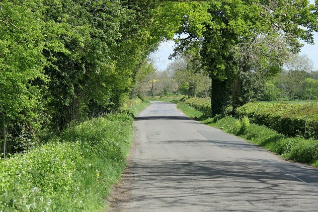
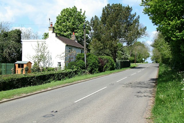
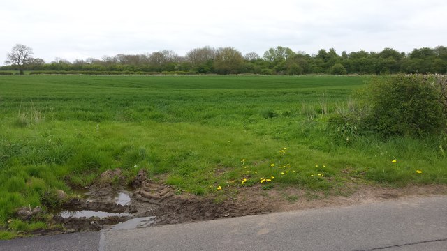
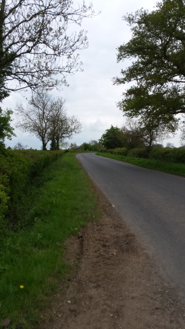
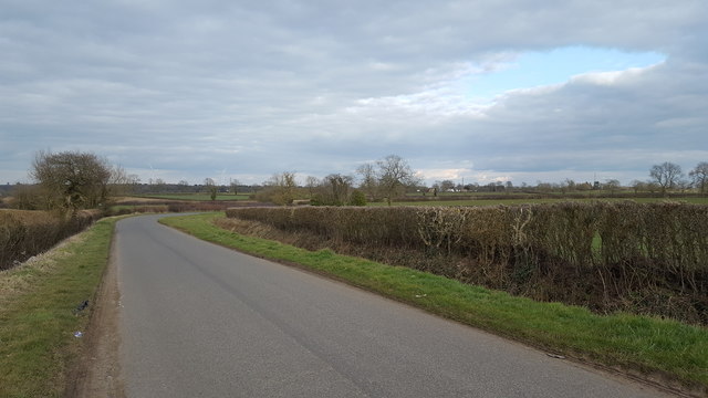
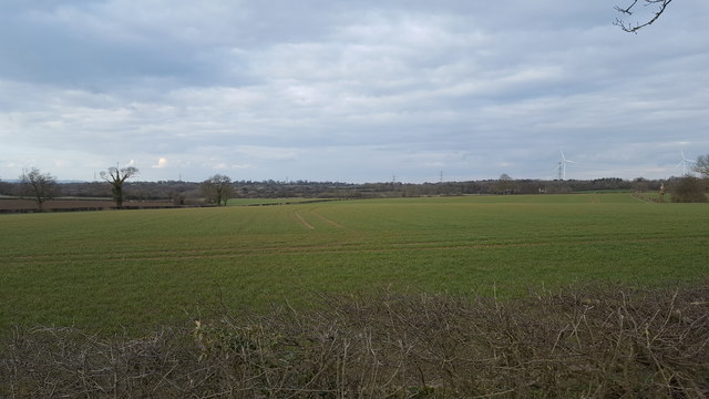
Ashby Parva is a small village located in the Harborough district of Leicestershire, England. Situated approximately 12 miles southeast of Leicester, it is nestled amidst picturesque countryside, offering residents and visitors a tranquil and idyllic setting. The village is surrounded by farmland and is characterized by its rural charm.

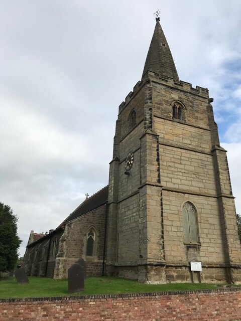
With a population of around 200 people, Ashby Parva retains a tight-knit community atmosphere. The village is made up of a collection of traditional stone cottages and farmhouses, giving it an authentic and timeless feel. St. Peter's Church, a Grade II listed building, stands proudly in the heart of the village and serves as a focal point for religious and community events.

Although small in size, Ashby Parva boasts a rich history. The village dates back to the Domesday Book of 1086 and has been inhabited for centuries. Today, the village preserves its heritage through the presence of historic buildings and landmarks, such as the Old Rectory, which adds to its charm.

While Ashby Parva may be a peaceful retreat, it is conveniently located near major transport links. The M1 motorway is easily accessible, providing connections to nearby towns and cities. Additionally, the vibrant city of Leicester is within a short drive, offering a wide range of amenities, shopping centers, and cultural attractions.

Overall, Ashby Parva is a charming and quaint village that offers residents and visitors a peaceful and picturesque retreat, while still providing easy access to nearby amenities and transport links.

If you have any feedback on the listing, please let us know in the comments section below.
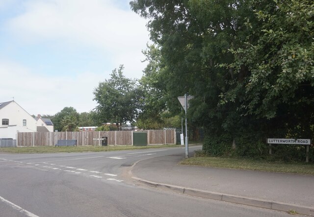
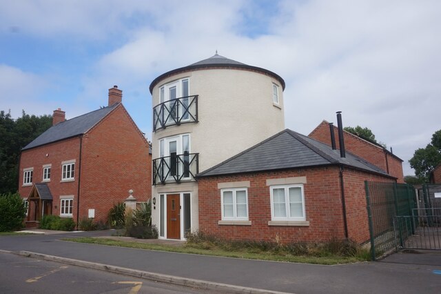
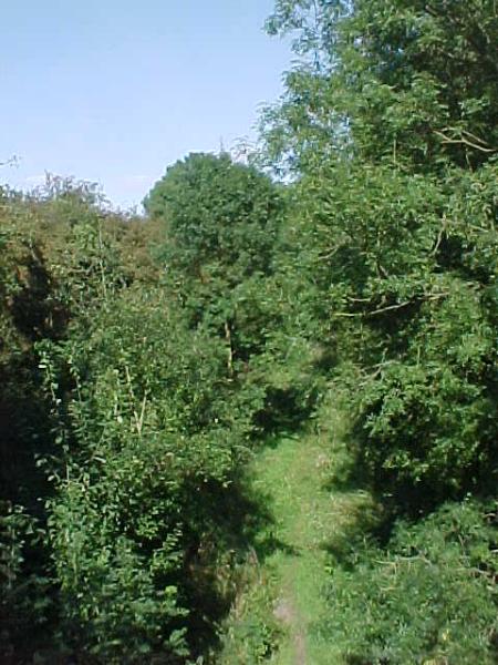
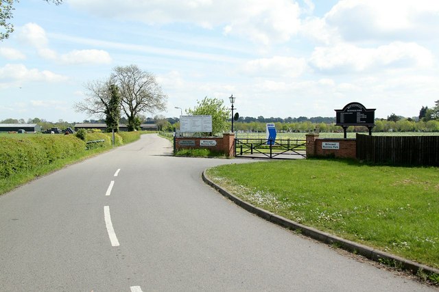
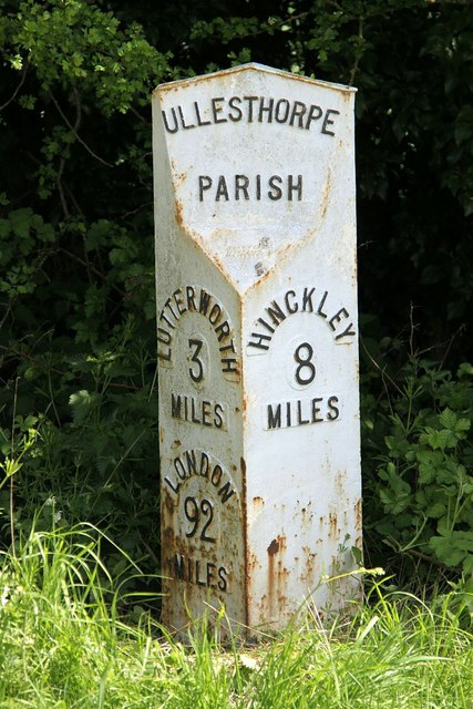
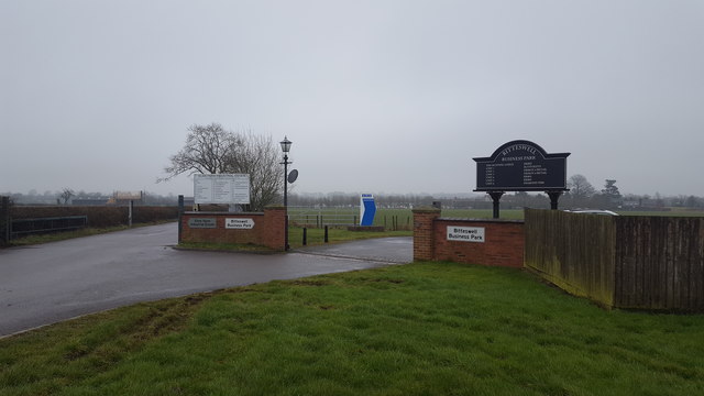
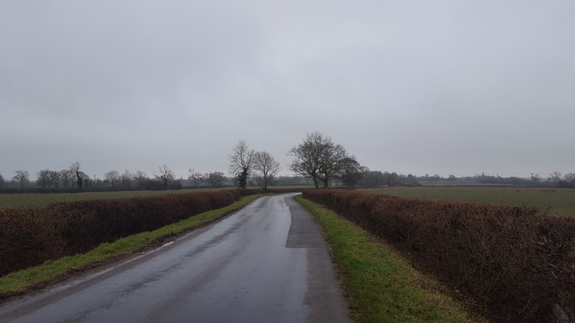
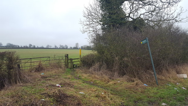
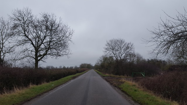
Ashby Parva Images

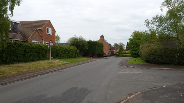
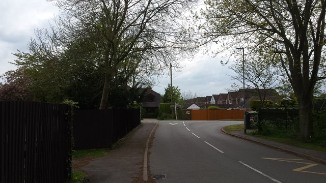
Images are sourced within 2km of 52.490608/-1.225993 or Grid Reference SP5288. Thanks to Geograph Open Source API. All images are credited.

Ashby Road off Lutterworth Road, Ullesthorpe
Houses on Main Street, Ullesthorpe
Leire Church
Leire Church
Overgrown trackbed This looks north east along the former trackbed of the Midland Counties Railway between Leicester and Rugby.  This is the site of Leire Halt which opened on 2nd March 1925 and closed with the line on 1st January 1962.  The track which provided access to the halt is now part of the Leicestershire Round.
Overgrown trackbed
This looks north east along the former trackbed of the Midland Counties Railway between Leicester and Rugby. This is the site of Leire Halt which opened on 2nd March 1925 and closed with the line on 1st January 1962. The track which provided access to the halt is now part of the Leicestershire Round.
Mere Lane Looking north at Pink's Park
Mere Lane
Looking north at Pink's Park
Modern Agricultural development Grow your farm by turning it into an industrial estate or business park.
Modern Agricultural development
Grow your farm by turning it into an industrial estate or business park.
Milestone Cottage, Lutterworth Road, Ullesthorpe Taking its name from the milepost <a title="https://www.geograph.org.uk/photo/4956182" href="https://www.geograph.org.uk/photo/4956182">Link</a> on the opposite side of the road. This was formerly a turnpike and later a B road but is now unclassified.
Milestone Cottage, Lutterworth Road, Ullesthorpe
Taking its name from the milepost Link on the opposite side of the road. This was formerly a turnpike and later a B road but is now unclassified.
Milepost, Lutterworth Road, Ullesthorpe Erected for the Hinckley and Lutterworth turnpike. See <a title="https://www.geograph.org.uk/photo/4956181" href="https://www.geograph.org.uk/photo/4956181">Link</a> for location.
Milepost, Lutterworth Road, Ullesthorpe
Erected for the Hinckley and Lutterworth turnpike. See Link for location.
Grassland Open grassland adjacent to Frolesworth Road.
Grassland
Open grassland adjacent to Frolesworth Road.
Leire Lane Leire Lane captured south of Leire village.
Leire Lane
Leire Lane captured south of Leire village.
Ashby Parva The road entering Ashby Parva from the south.
Ashby Parva
The road entering Ashby Parva from the south.
Ullesthorpe The approach to Ullesthorpe from Ashby Parva.
Ullesthorpe
The approach to Ullesthorpe from Ashby Parva.
Business Park entrance The entrance to two recently constructed Business Parks.
Business Park entrance
The entrance to two recently constructed Business Parks.
Mere Lane A minor road to the east of Ullesthorpe.
Mere Lane
A minor road to the east of Ullesthorpe.
Public footpath The footpath crosses fields from here to Ashby Parva.
Public footpath
The footpath crosses fields from here to Ashby Parva.
Looking towards Ashby Parva Frolesworth Road looking towards Ashby Parva.
Looking towards Ashby Parva
Frolesworth Road looking towards Ashby Parva.
Cauldwell Lane A minor road in rural Leicestershire.
Cauldwell Lane
A minor road in rural Leicestershire.
Cauldwell Farm Open farmland at Cauldwell Farm.
Cauldwell Farm
Open farmland at Cauldwell Farm.
Show me another place!

Ashby Parva is located at Grid Ref: SP5288 (Lat: 52.490608, Lng: -1.225993)

Administrative County: Leicestershire

District: Harborough

Police Authority: Leicestershire

What 3 Words

///warms.wobbles.quote. Near Broughton Astley, Leicestershire

Nearby Locations

Ashby Parva Ashby Parva

Related Wikis

St Peter's Church, Ashby Parva

St Peter's Church is a church in Ashby Parva, Leicestershire. It is a Grade II* listed building. == History == The church was owned by the Order of St...

Ashby Parva

Ashby Parva is a village and civil parish in the Harborough district of Leicestershire, England. The parish had a population of 211 according to the 2001...

Leire

Leire is a village and civil parish in the Harborough district, in the county of Leicestershire, England. The name is thought to originate from the old...

Leire Halt railway station

Leire Halt railway station was a railway halt serving Leire in Leicestershire on the line between Leicester and Rugby. The London, Midland and Scottish...

South Leicestershire (UK Parliament constituency)

South Leicestershire is a constituency represented in the House of Commons of the UK Parliament since 2015 by Alberto Costa, a member of the Conservative...

Blaby (UK Parliament constituency)

Blaby was a county constituency represented in the House of Commons of the Parliament of the United Kingdom, which existed from 1974 until 2010. It elected...

Guthlaxton

Guthlaxton is an ancient hundred of Leicestershire. Its jurisdiction was in the south of the county, and covered Lutterworth and Wigston Magna. At the...

Lutterworth Athletic F.C.

Lutterworth Athletic Football Club is a football club based in Lutterworth, Leicestershire, England. They are currently members of the United Counties...

Related Videos

4 Bedroom house for sale | Buzzard Close | Broughton Astley | Fine and Country

Introducing Buzzard Close: A contemporary family home in a secluded cul de sac. This move-in-ready property offers four ...

Camping on CHEAPER Sites | There ARE Some Good Deals Out There! #vanlife

Looking to go camping on cheaper sites? We all want cheaper sites especially for us in full time Vanlife. This is Victoria Farm in ...

4 Bedroom House for Sale | Holbeck Drive | Broughton Astley | Leicestershire | Fine and Country

'Relaxed, contemporary vibe in a home with traditional appeal.' Welcome to Holbeck Drive Ticking all the boxes for a family home ...

Blenheim Crescent, Broughton Astley

For more information visit- https://www.jamessellicks.com.

Nearby Amenities

Located within 500m of 52.490608,-1.225993
Bus Stop
Manor Farm
Bus: yes
Naptan AtcoCode: 260017300
Naptan Bearing: SE
Naptan BusStopType: CUS
Naptan CommonName: Manor Farm
Naptan Indicator: outside
Naptan Landmark: Manor Farm
Naptan NaptanCode: leijmapd
Naptan Notes: Hourly - County
Naptan Street: Main Street
Naptan Verified: no
Public Transport: platform
Source: naptan_import
Lat/Long: 52.4907809/-1.2243083
Bus Stop
Manor Farm
Bus: yes
Naptan AtcoCode: 260017301
Naptan Bearing: NW
Naptan BusStopType: CUS
Naptan CommonName: Manor Farm
Naptan Indicator: opposite
Naptan Landmark: Manor Farm
Naptan NaptanCode: leijmapg
Naptan Notes: Hourly - County
Naptan Street: Main Street
Naptan Verified: no
Public Transport: platform
Source: naptan_import
Lat/Long: 52.4907557/-1.2245886
Place: farm
Lat/Long: 52.4873117/-1.2269363
Restaurant
Midlands Roller Arena
Addr City: Lutterworth
Addr Country: GB
Addr Postcode: LE17 5JD
Addr Street: Bitteswell Road
Addr Village: Ashby Parva
Fhrs Authority: Harborough
Fhrs Id: 839880
Fhrs Local Authority Id: 16/00002/FOODHS
Lat/Long: 52.4871838/-1.2253591
Kindergarten
Ashby And Leire Preschool
Addr City: Lutterworth
Addr Country: GB
Addr Housename: Village Hall
Addr Postcode: LE17 5HS
Addr Street: Main Street
Addr Village: Ashby Parva
Fhrs Authority: Harborough
Fhrs Id: 354905
Fhrs Local Authority Id: 03/00050/HS
Lat/Long: 52.4927988/-1.2262832
Ashby Garage
Shop: car
Lat/Long: 52.4920018/-1.2250856
Generator Method: photovoltaic
Generator Output Electricity: yes
Generator Source: solar
Generator Type: solar_photovoltaic_panel
Location: roof
Power: generator
Lat/Long: 52.4912464/-1.2262375
Generator Method: photovoltaic
Generator Output Electricity: yes
Generator Source: solar
Generator Type: solar_photovoltaic_panel
Location: roof
Power: generator
Lat/Long: 52.4925055/-1.2250841
Generator Method: photovoltaic
Generator Output Electricity: yes
Generator Source: solar
Generator Type: solar_photovoltaic_panel
Location: roof
Power: generator
Lat/Long: 52.4900795/-1.222123
Generator Method: photovoltaic
Generator Output Electricity: yes
Generator Source: solar
Generator Type: solar_photovoltaic_panel
Location: roof
Power: generator
Lat/Long: 52.4903098/-1.2223322
Generator Method: photovoltaic
Generator Output Electricity: yes
Generator Source: solar
Generator Type: solar_photovoltaic_panel
Location: roof
Power: generator
Lat/Long: 52.4890767/-1.2234158
Post Box
Post Box Type: lamp
Lat/Long: 52.490699/-1.224494
Public Bookcase
Booth: K6
Disused Amenity: telephone
Man Made: telephone_box
Public Bookcase Type: phone_box
Lat/Long: 52.4902468/-1.2236615
Power: pole
Lat/Long: 52.4912538/-1.2330142
Power: pole
Lat/Long: 52.4905238/-1.2324268
Power: pole
Lat/Long: 52.4896729/-1.2317562
Power: pole
Lat/Long: 52.4887763/-1.2310427
Power: pole
Lat/Long: 52.4881001/-1.2305009
Power: pole
Lat/Long: 52.4874043/-1.2299457
Power: pole
Lat/Long: 52.4868147/-1.2294656
The data included in this document is from www.openstreetmap.org. The data is made available under ODbL.

Have you been to Ashby Parva?

Leave your review of Ashby Parva below (or comments, questions and feedback).