Warren Plantation

Wood, Forest in Nottinghamshire Gedling

England

Warren Plantation

Wooded path near Castle Mill Part of the Papplewick Trail.
Wooded path near Castle Mill Credit: David Lally

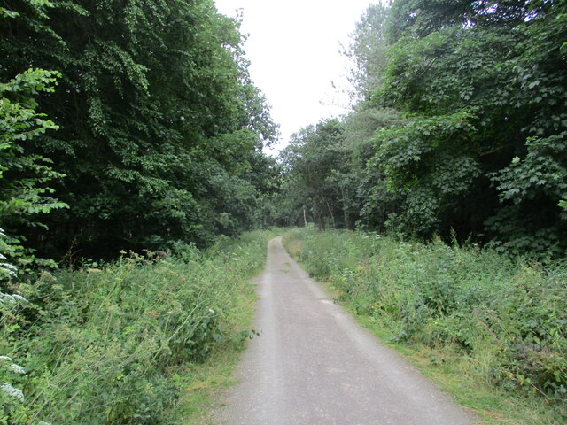
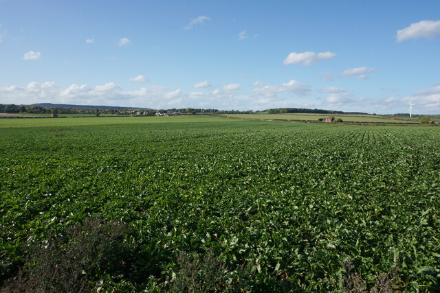
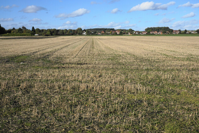
Warren Plantation is a picturesque woodland area located in Nottinghamshire, England. Situated within the larger Sherwood Forest, the plantation covers an expansive area and is renowned for its rich biodiversity and natural beauty.

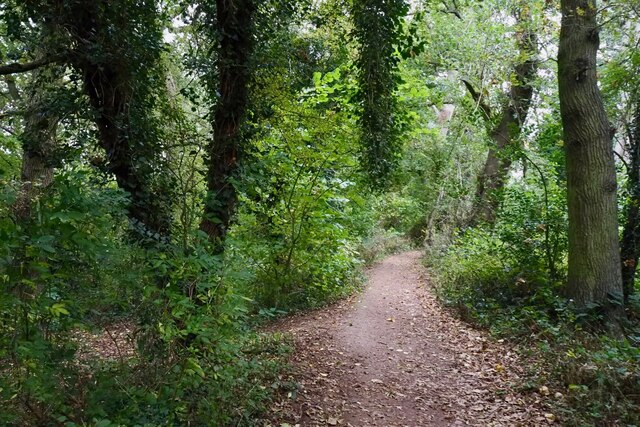
The plantation is characterized by its dense, lush woodlands composed primarily of oak, birch, and beech trees. These towering trees provide a habitat for a variety of wildlife species, including deer, squirrels, and a myriad of bird species. The diverse ecosystem of Warren Plantation has made it a popular destination for nature enthusiasts, birdwatchers, and photographers.

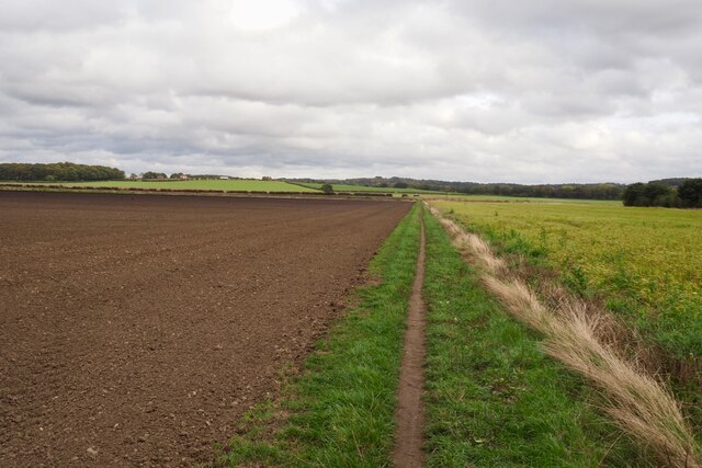
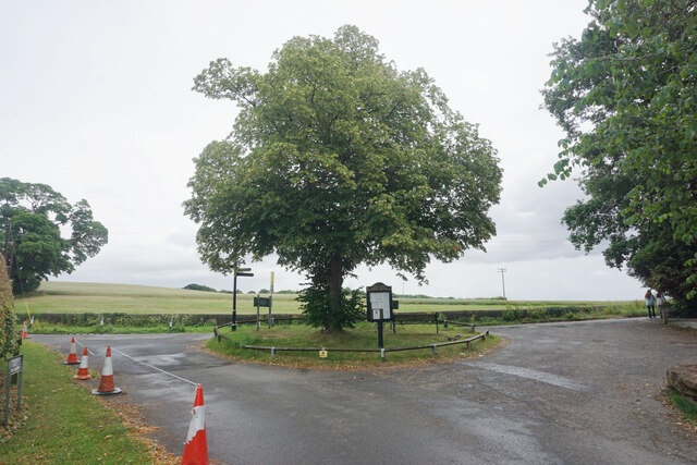
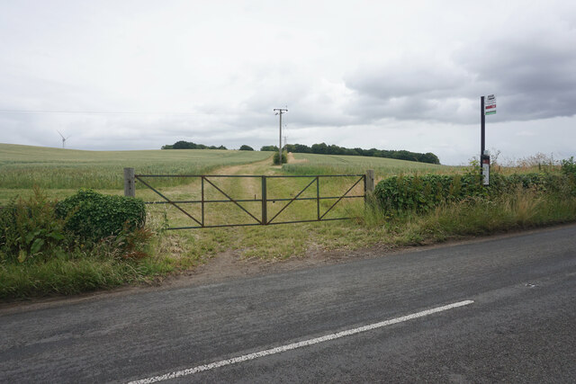
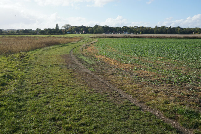
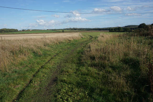
Visitors can explore the plantation through a network of well-maintained trails that wind through the woodland. These trails offer stunning views of the surrounding countryside and provide opportunities for peaceful walks and hikes. Along the paths, visitors may also come across charming ponds and streams, adding to the tranquil atmosphere of the area.

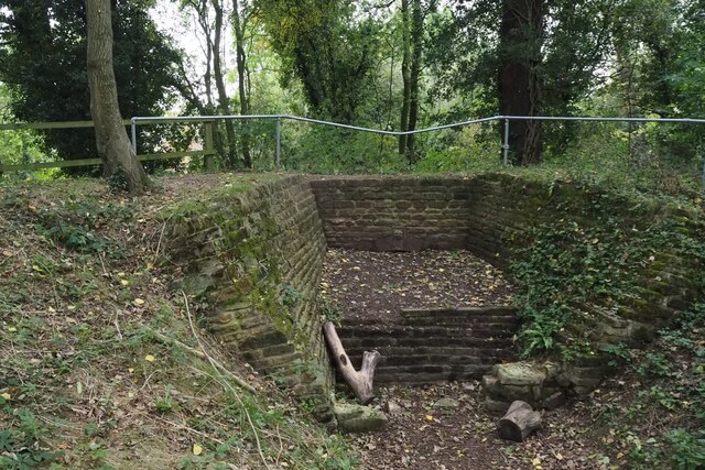
Warren Plantation is not only a haven for nature lovers but also holds historical significance. It is believed to have been part of the ancient royal hunting ground of Sherwood Forest, made famous by the legendary outlaw Robin Hood. The plantation's connection to Sherwood Forest adds an element of romance and intrigue to the area, attracting enthusiasts of folklore and history.

Overall, Warren Plantation in Nottinghamshire offers a serene escape into nature, where visitors can immerse themselves in the beauty of a diverse woodland ecosystem and experience the charm of a historically significant area.

If you have any feedback on the listing, please let us know in the comments section below.

Warren Plantation Images

Images are sourced within 2km of 53.05291/-1.1571376 or Grid Reference SK5650. Thanks to Geograph Open Source API. All images are credited.

Wooded path near Castle Mill Part of the Papplewick Trail.
Wooded path near Castle Mill
Part of the Papplewick Trail.
Footpath on Papplewick Moor
Blocked culvert At the southern end of the Papplewick Trail, this excavated culvert entrance presumably would have carried the mill races under Moor Road?
Blocked culvert
At the southern end of the Papplewick Trail, this excavated culvert entrance presumably would have carried the mill races under Moor Road?
An interesting keystone In the arch of <a href="https://www.geograph.org.uk/photo/7005278">SK5450 : Blocked culvert</a>.  Possibly a Green Man representation?
An interesting keystone
In the arch of SK5450 : Blocked culvert. Possibly a Green Man representation?
Robin Hood Way, west of Seven Mile Wood, Papplewick
Track in Sansom Wood This is also a public footpath.
Track in Sansom Wood
This is also a public footpath.
Small island in Papplewick At the southern end of the south drive from Newstead Abbey.
Small island in Papplewick
At the southern end of the south drive from Newstead Abbey.
Bus stop in Papplewick The farm track behind leads up to King Edward's Plantation.
Bus stop in Papplewick
The farm track behind leads up to King Edward's Plantation.
The entrance to Sherwood Lodge The joint HQ of Nottinghamshire Police and Fire and Rescue Service. The public cannot go beyond this point.
The entrance to Sherwood Lodge
The joint HQ of Nottinghamshire Police and Fire and Rescue Service. The public cannot go beyond this point.
The Park Hospital A private hospital in the Burntstump complex.
The Park Hospital
A private hospital in the Burntstump complex.
Prepared field near Burntstump
Outdoor-reared pork by Stanker Hill Farm As seen from the Robin Hood Way.
Outdoor-reared pork by Stanker Hill Farm
As seen from the Robin Hood Way.
Farmland below Raceground Hill A brief glimpse from the Robin Hood Way, seen across the former railway which serviced Calverton Colliery.
Farmland below Raceground Hill
A brief glimpse from the Robin Hood Way, seen across the former railway which serviced Calverton Colliery.
Farmland on Papplewick Moor A crop of beet is in the foreground. I presume the plastic chairs are for the benefit of the farm workers.
Farmland on Papplewick Moor
A crop of beet is in the foreground. I presume the plastic chairs are for the benefit of the farm workers.
Beet field on Papplewick Moor Wide open spaces seen from the Robin Hood Way.
Beet field on Papplewick Moor
Wide open spaces seen from the Robin Hood Way.
Robin Hood Way near Papplewick The houses ahead are the first of Hucknall and the Nottingham conurbation.
Robin Hood Way near Papplewick
The houses ahead are the first of Hucknall and the Nottingham conurbation.
Stubble field on Papplewick Moor Some of the houses of Papplewick are seen ahead.
Stubble field on Papplewick Moor
Some of the houses of Papplewick are seen ahead.
Path onto Papplewick Moor Part of the Robin Hood Way heading towards Burntstump Hill.
Path onto Papplewick Moor
Part of the Robin Hood Way heading towards Burntstump Hill.
Show me another place!

Warren Plantation is located at Grid Ref: SK5650 (Lat: 53.05291, Lng: -1.1571376)

Administrative County: Nottinghamshire

District: Gedling

Police Authority: Nottinghamshire

What 3 Words

///selling.boils.sailor. Near Hucknall, Nottinghamshire

Related Wikis

Papplewick

Papplewick is a village and civil parish in Nottinghamshire, England, 7.5 miles (12 km) north of Nottingham and 6 miles (10 km) south of Mansfield. It...

Papplewick Hall

Papplewick Hall is a Grade I listed English country house in Papplewick, Nottinghamshire. == History == It was completed around 1787 for the Hon. Frederick...

Papplewick Pumping Station

Papplewick Pumping Station, situated in open agricultural land approximately 3 miles (4.8 km) by road from the Nottinghamshire village of Papplewick, was...

Sherwood (UK Parliament constituency)

Sherwood is a constituency represented in the House of Commons of the UK Parliament since 2010 by Mark Spencer, a Conservative. The constituency takes...

Arnold Town F.C.

Arnold Town Football Club is a football club based in Arnold, Nottinghamshire, England. They are currently members of the Central Midlands League South...

Hidden Valleys

Hidden Valleys is a name, coined in 2004, used to describe an area of interesting historical and scenic value between the city of Nottingham and the town...

Bestwood Pumping Station

Bestwood Pumping Station was a water pumping station operating in Nottinghamshire from 1874 until 1964. == History == Bestwood Pumping Station was built...

Hucknall station

Hucknall station, also formerly known as Hucknall Byron station, is a railway station and tram stop in Hucknall, Nottinghamshire, England. It is located...

Nearby Amenities

Located within 500m of 53.05291,-1.1571376
Traffic Signals
Source Highway: Bing;Notes
Lat/Long: 53.0537042/-1.1527825
Bus Stop
Forest Lane
Bus: yes
Naptan AtcoCode: 3300GE0068
Naptan Bearing: NW
Naptan CommonName: Forest Lane
Naptan Crossing: Forest Lane
Naptan Indicator: adj
Naptan NaptanCode: ntsaptmw
Naptan Notes: none
Naptan Street: Mansfield Road
Naptan Verified: no
Public Transport: platform
Source: naptan_import
Lat/Long: 53.05405/-1.1533278
Bus Stop
Forest Lane
Bus: yes
Naptan AtcoCode: 3300GE0080
Naptan Bearing: SE
Naptan CommonName: Forest Lane
Naptan Crossing: Forest Lane
Naptan Indicator: opp
Naptan NaptanCode: ntsatgdp
Naptan Notes: none
Naptan Street: Mansfield Road
Naptan Verified: no
Public Transport: platform
Source: naptan_import
Lat/Long: 53.0533767/-1.1521922
Turning Loop
Lat/Long: 53.0501129/-1.1514208
Barrier: kissing_gate
Lat/Long: 53.0492457/-1.16111
Barrier: kissing_gate
Lat/Long: 53.0494527/-1.1598377
Archaeological Site: megalith
Historic: archaeological_site
Lat/Long: 53.0539729/-1.1631078
Power: pole
Lat/Long: 53.049968/-1.1532721
Power: pole
Lat/Long: 53.0499213/-1.1528885
Power: pole
Lat/Long: 53.0501922/-1.1548492
Power: pole
Lat/Long: 53.0499306/-1.1559858
Power: pole
Lat/Long: 53.049675/-1.1571083
Power: pole
Lat/Long: 53.0494094/-1.158261
Power: pole
Lat/Long: 53.0491627/-1.1593553
Power: pole
Lat/Long: 53.0517545/-1.1634766
Power: pole
Lat/Long: 53.0522148/-1.1636965
Power: pole
Lat/Long: 53.0512853/-1.1631748
Power: pole
Lat/Long: 53.0508202/-1.1628596
Power: pole
Lat/Long: 53.0503985/-1.1625633
Power: pole
Lat/Long: 53.0500938/-1.1622776
Power: pole
Lat/Long: 53.0496375/-1.1622065
Direction: 330
Man Made: surveillance
Surveillance: public
Surveillance Type: ALPR
Lat/Long: 53.0511029/-1.150495
The data included in this document is from www.openstreetmap.org. The data is made available under ODbL.

Have you been to Warren Plantation?

Leave your review of Warren Plantation below (or comments, questions and feedback).