Heath Copse

Wood, Forest in Berkshire

England

Heath Copse

Windmill Lane Off Carbinswood Lane, leading to School Hill.
Windmill Lane Credit: Oscar

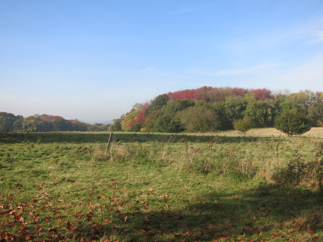
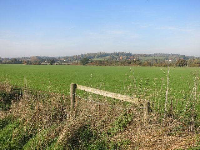
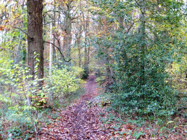
Heath Copse is a picturesque woodland located in Berkshire, England. Covering an area of approximately 100 acres, it is a popular destination for nature enthusiasts and outdoor adventurers alike. The copse is situated in the heart of the county, near the village of Heath and just a short distance from the bustling town of Newbury.

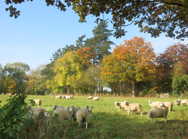
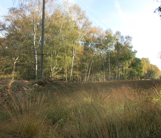
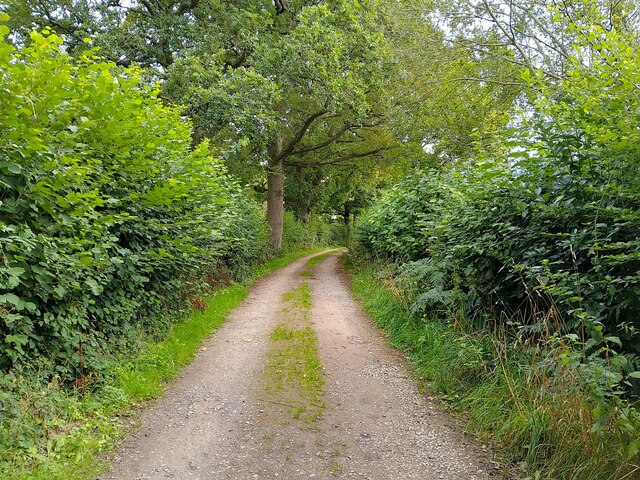
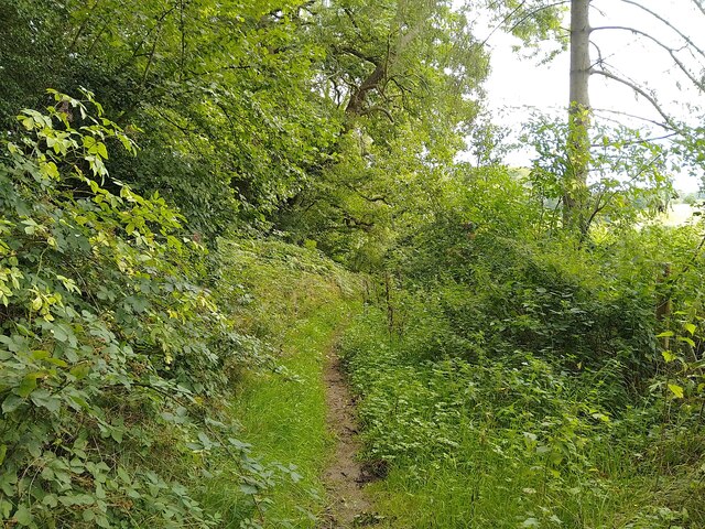
The woodland is characterized by its dense canopy of trees, predominantly consisting of oak, beech, and birch. These towering trees provide a haven for a diverse range of wildlife, including deer, foxes, badgers, and numerous species of birds. The forest floor is adorned with a carpet of wildflowers and ferns, adding to the copse's natural beauty.

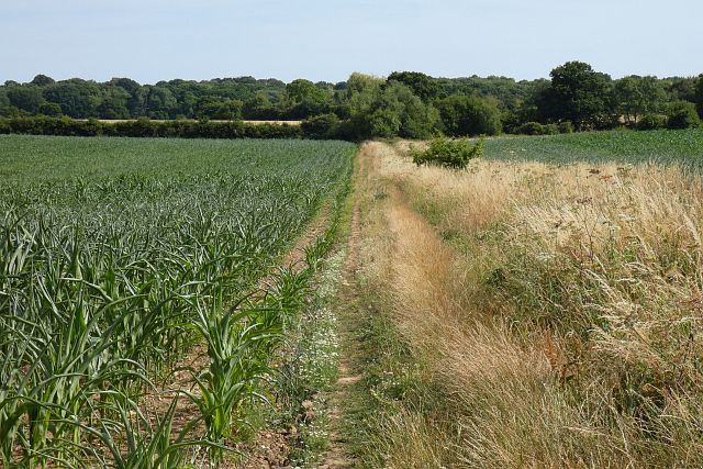
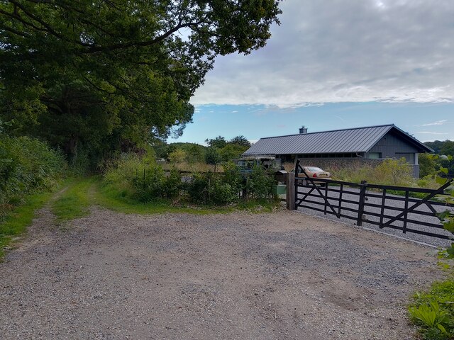
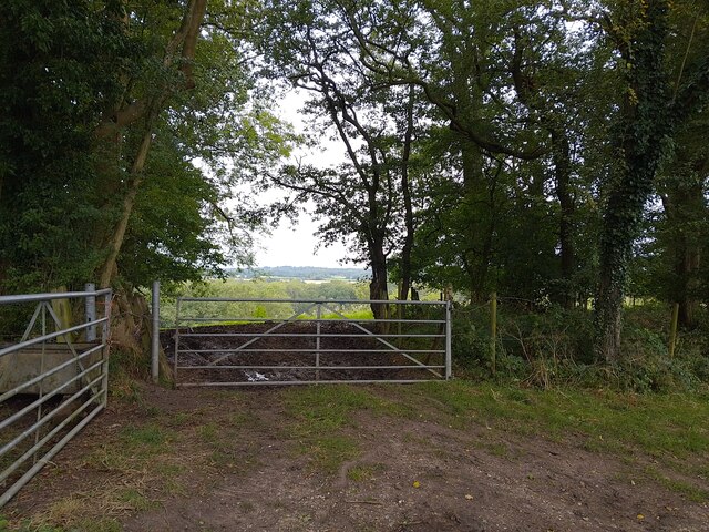
Heath Copse offers a network of well-maintained trails and footpaths, making it an ideal location for walking, hiking, and cycling. Visitors can explore the woodland at their leisure, immersing themselves in its tranquil atmosphere and enjoying the sights and sounds of nature. There are also designated picnic areas and benches scattered throughout the copse, providing opportunities for visitors to relax and take in the surroundings.

In addition to its natural charm, Heath Copse holds historical significance. It is believed to have been a site of ancient woodland for centuries, with evidence of human activity dating back to the Bronze Age. The woodland has also been used for timber production in the past, contributing to the local economy.

Heath Copse is a true gem in the Berkshire countryside, offering a peaceful retreat for those seeking solace in nature and a chance to reconnect with the great outdoors.

If you have any feedback on the listing, please let us know in the comments section below.
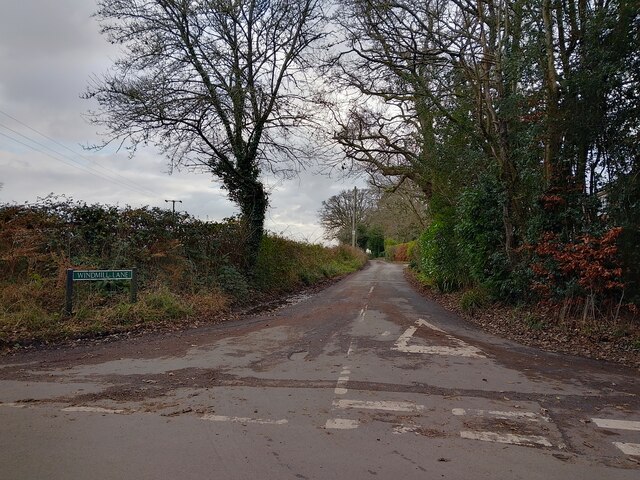
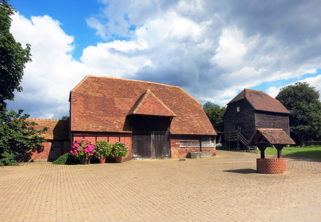
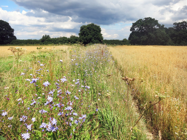
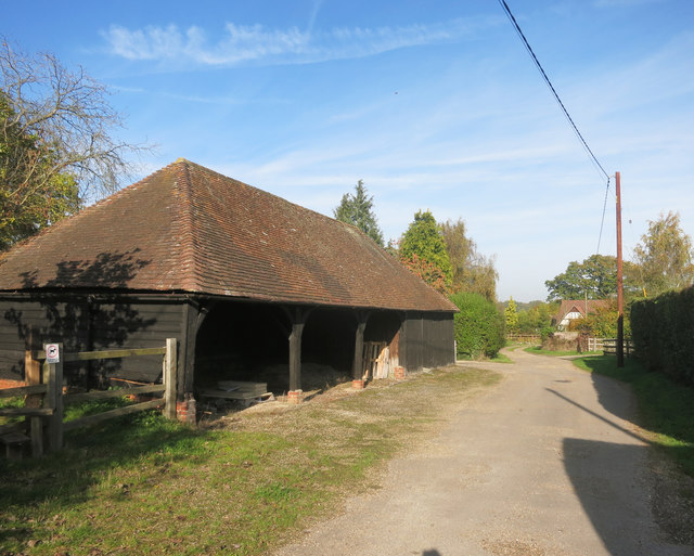
Heath Copse Images

Images are sourced within 2km of 51.419845/-1.1878676 or Grid Reference SU5669. Thanks to Geograph Open Source API. All images are credited.

Windmill Lane Off Carbinswood Lane, leading to School Hill.
Windmill Lane
Off Carbinswood Lane, leading to School Hill.
Douai Abbey A Benedictine Abbey in Upper Woolhampton. The abbey was completed in 1993.
Douai Abbey
A Benedictine Abbey in Upper Woolhampton. The abbey was completed in 1993.
Douai Abbey A Benedictine Abbey in Upper Woolhampton. The abbey was completed in 1993.
Douai Abbey
A Benedictine Abbey in Upper Woolhampton. The abbey was completed in 1993.
Former school, Bucklebury, Berkshire School, now house. C17 with C19 refacing and additions to south and east. Timber framed with angle braces, brick nogging and later brick facing to rear; tiled roof with ridge stack off-centre to left above door. 3 framed bays. 2 storeys. 2 first floor 2-light C19 segmental headed casements to right with 3-light casement and small casement to left, 2 ground floor 3-light C20 casements to right with boarded door to left beneath stack. Block to left: timber framed with brick facing, hipped tile roof with stack to rear. One storey and attic. 2-light segmental headed casement to right and boarded door to left.

(Source:Historic England)
Former school, Bucklebury, Berkshire
School, now house. C17 with C19 refacing and additions to south and east. Timber framed with angle braces, brick nogging and later brick facing to rear; tiled roof with ridge stack off-centre to left above door. 3 framed bays. 2 storeys. 2 first floor 2-light C19 segmental headed casements to right with 3-light casement and small casement to left, 2 ground floor 3-light C20 casements to right with boarded door to left beneath stack. Block to left: timber framed with brick facing, hipped tile roof with stack to rear. One storey and attic. 2-light segmental headed casement to right and boarded door to left. (Source:Historic England)
Barn, Well and Granary at Hillfoot Farm Original farm buildings by a new forecourt.
Barn, Well and Granary at Hillfoot Farm
Original farm buildings by a new forecourt.
Wild Flowers by the Footpath
Barn at Nine Elms Nine Elms Farm, or just Nine Elms depending which map you look at, is at the end of this drive. A short footpath through surrounding fields begins just beside the barn here.
Barn at Nine Elms
Nine Elms Farm, or just Nine Elms depending which map you look at, is at the end of this drive. A short footpath through surrounding fields begins just beside the barn here.
Sheep by the path Pasture near Clay Hill.
Sheep by the path
Pasture near Clay Hill.
Red Leaves in King's Copse A typical view for the area, mixed fields and woods.
Red Leaves in King's Copse
A typical view for the area, mixed fields and woods.
Cleared for Cables A view in the woods on Bucklebury Common where a power line cuts a swathe through the trees.
Cleared for Cables
A view in the woods on Bucklebury Common where a power line cuts a swathe through the trees.
The Pang Valley near Bucklebury The River Pang flows through farmland in a shallow valley between Bucklebury and Stanford Dingley.
The Pang Valley near Bucklebury
The River Pang flows through farmland in a shallow valley between Bucklebury and Stanford Dingley.
Soggy land west of Stanford Dingley In the valley of the river Pang.
Soggy land west of Stanford Dingley
In the valley of the river Pang.
Farmland, Bucklebury A footpath makes its way between fields of maize, the growth of which has been somewhat stunted due to dry conditions.
Farmland, Bucklebury
A footpath makes its way between fields of maize, the growth of which has been somewhat stunted due to dry conditions.
Farmland, Stanford Dingley A field cut for hay or silage beside a junction of bridleways to the east of Bushnells Green.
Farmland, Stanford Dingley
A field cut for hay or silage beside a junction of bridleways to the east of Bushnells Green.
Chapel Row bridleway A bridleway that runs from Chapel Row to Jewell's Farm.
Chapel Row bridleway
A bridleway that runs from Chapel Row to Jewell's Farm.
St Crispins Farm bridleway A bridleway passing the farm.
St Crispins Farm bridleway
A bridleway passing the farm.
Old Orchard Wood from bridleway Looking from a bridleway near St Crispin's Farm down the hill past a gate towards Old Orchard Wood.
Old Orchard Wood from bridleway
Looking from a bridleway near St Crispin's Farm down the hill past a gate towards Old Orchard Wood.
St Crispins Farm bridleway A bridleway that runs from Chapel Row to Jewell's Farm.
St Crispins Farm bridleway
A bridleway that runs from Chapel Row to Jewell's Farm.
Show me another place!

Heath Copse is located at Grid Ref: SU5669 (Lat: 51.419845, Lng: -1.1878676)

Unitary Authority: West Berkshire

Police Authority: Thames Valley

What 3 Words

///steadier.wink.steeped. Near Bradfield, Berkshire

Related Wikis

Bucklebury Common

Bucklebury Common is an elevated common consisting of woodland with a few relatively small clearings in the English county of Berkshire, within the civil...

Chapel Row

Chapel Row is a hamlet in West Berkshire, England, and part of the civil parish of Bucklebury. In 2019 it had an estimated population of 627. == History... ==

The Bladebone Inn

The Bladebone Inn is a public house at Chapel Row in the civil parish of Bucklebury in the English county of Berkshire. == History == Records show that...
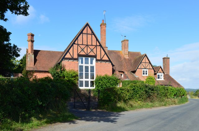
Bucklebury Manor

Bucklebury Manor is a Grade II listed manor house in the civil parish of Bucklebury in the English county of Berkshire. Since 2012, it has been the home...

Midgham Green

Midgham Green is a hamlet in the civil parish of Midgham in the English county of Berkshire. The settlement lies near to the A4 road and is located approximately...

Bucklebury Farm Park

Bucklebury Farm Park is an animal park located in Bucklebury in Berkshire, England. The Farm Park consists of mostly Animals, Play equipment, Deer and...

King's Copse

King's Copse is a 13.7-hectare (34-acre) biological Site of Special Scientific Interest between Chapel Row and Clay Hill in Berkshire. It is in the North...
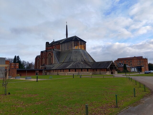
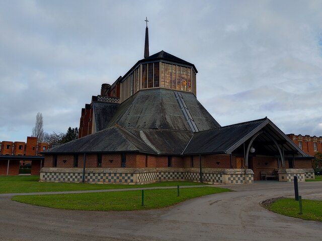
Douai Abbey

Douai Abbey is a Benedictine Abbey at Upper Woolhampton, near Thatcham, in the English county of Berkshire, situated within the Roman Catholic Diocese...

Nearby Amenities

Located within 500m of 51.419845,-1.1878676
The data included in this document is from www.openstreetmap.org. The data is made available under ODbL.

Have you been to Heath Copse?

Leave your review of Heath Copse below (or comments, questions and feedback).