Tankerhill Copse

Wood, Forest in Hampshire Winchester

England

Tankerhill Copse

Food at Wickham Festival So sad. Wickham Festival was one of the first music festivals to go for it after the Covid epidemic of 2020/21. 
And it rained, and it rained. By the time the sun eventually came out, most people had gone home.
There was lots to eat.
Food at Wickham Festival Credit: Des Blenkinsopp

Tankerhill Copse is a picturesque woodland located in Hampshire, England. Covering an area of approximately 20 acres, this ancient woodland is characterized by its dense canopy of trees and diverse array of flora and fauna.

The copse is primarily composed of native broadleaf trees, including oak, beech, and ash, which provide a rich habitat for numerous species of birds, mammals, and insects. The woodland floor is carpeted with a variety of wildflowers, such as bluebells, primroses, and wood anemones, creating a stunning display of colors during springtime.

Walking through Tankerhill Copse, visitors can enjoy the tranquility and natural beauty of the forest. The copse boasts a well-maintained network of footpaths, allowing visitors to explore the woodland and discover its hidden gems. Along the way, one might encounter enchanting streams, small ponds, and even a few secluded picnic spots.

The copse is also home to a diverse range of wildlife. Birdwatchers can catch glimpses of species such as the great spotted woodpecker, nuthatch, and treecreeper, while small mammals like badgers, foxes, and squirrels can often be spotted scurrying through the undergrowth.

Tankerhill Copse is a popular destination for nature enthusiasts and locals alike. Its proximity to nearby villages and towns makes it easily accessible for day trips and outdoor activities. Whether one is seeking a peaceful walk in nature, a spot of birdwatching, or simply a place to relax and unwind, Tankerhill Copse offers a serene and idyllic setting for all.

If you have any feedback on the listing, please let us know in the comments section below.

Tankerhill Copse Images

Images are sourced within 2km of 50.906733/-1.2060135 or Grid Reference SU5512. Thanks to Geograph Open Source API. All images are credited.

Food at Wickham Festival So sad. Wickham Festival was one of the first music festivals to go for it after the Covid epidemic of 2020/21. 
And it rained, and it rained. By the time the sun eventually came out, most people had gone home.
There was lots to eat.
Food at Wickham Festival
So sad. Wickham Festival was one of the first music festivals to go for it after the Covid epidemic of 2020/21. And it rained, and it rained. By the time the sun eventually came out, most people had gone home. There was lots to eat.
Wickham Festival Stage One of the first festivals to go for it after the 2020/21 Covid restrictions were relaxed. A brave effort, and they deserved better than the rain and the mud which they got.
Wickham Festival Stage
One of the first festivals to go for it after the 2020/21 Covid restrictions were relaxed. A brave effort, and they deserved better than the rain and the mud which they got.
Wickham Festival Site Wickham Festival site after hours of torrential rain caused a lot of people to give up and go.
The sun came out Sunday afternoon and those of us who stayed had a great time, but I feel so sad for the organisers. This was one of the first post-Covid festivals to go ahead in 2021. It didn't have to rain.
Wickham Festival Site
Wickham Festival site after hours of torrential rain caused a lot of people to give up and go. The sun came out Sunday afternoon and those of us who stayed had a great time, but I feel so sad for the organisers. This was one of the first post-Covid festivals to go ahead in 2021. It didn't have to rain.
That's Enough Water, Thanks It rained a lot at Wickham Festival.
That's Enough Water, Thanks
It rained a lot at Wickham Festival.
That's my kind of pouring The rain had stopped, the sun was coming out, the bands were playing and there was still some beer left.
What's not to like. 
Wickham Festival 2021.
That's my kind of pouring
The rain had stopped, the sun was coming out, the bands were playing and there was still some beer left. What's not to like. Wickham Festival 2021.
St John the Baptist The view inside the Shedfield Church.
St John the Baptist
The view inside the Shedfield Church.
Mid day at the Festival A very wet Wickham Festival 2021. A lot of people went home. An hour later the sun was out and we were glad we stayed.
Mid day at the Festival
A very wet Wickham Festival 2021. A lot of people went home. An hour later the sun was out and we were glad we stayed.
Sunny Wickham Festival After posting a set of gloomy muddy pictures from this rain blighted event, I am glad to finish up with this one from the Sunday afternoon when it was nice.
Wickham Festival 2021.
Sunny Wickham Festival
After posting a set of gloomy muddy pictures from this rain blighted event, I am glad to finish up with this one from the Sunday afternoon when it was nice. Wickham Festival 2021.
Concert Tent, Wickham Festival What a difference from last years festival <a href="https://www.geograph.org.uk/photo/6940453">SU5612 : That's Enough Water, Thanks</a> with its endless rain and serious mud.
This year brought sunshine and blue skies all weekend. That's better.
Concert Tent, Wickham Festival
What a difference from last years festival SU5612 : That's Enough Water, Thanks with its endless rain and serious mud. This year brought sunshine and blue skies all weekend. That's better.
Looking Up Bridge Street Uphill to the town centre from down by the bridge.
Looking Up Bridge Street
Uphill to the town centre from down by the bridge.
Looking Down Bridge Street Towards the bridge over the River Meon.
Looking Down Bridge Street
Towards the bridge over the River Meon.
Lamp Post on Bridge Street An old style street lamp in an old style street. The glass on the left of the lamp is blacked out because it is at the same level as the upper window of a nearby house.
Lamp Post on Bridge Street
An old style street lamp in an old style street. The glass on the left of the lamp is blacked out because it is at the same level as the upper window of a nearby house.
Heming & Co's Hardware Store Bins and pots and colourful stuff on display outside a shop in Wickham town centre.
Heming & Co's Hardware Store
Bins and pots and colourful stuff on display outside a shop in Wickham town centre.
The top end of Bridge Street Bridge Street goes between the River Meon and the town centre.
The top end of Bridge Street
Bridge Street goes between the River Meon and the town centre.
Outside the pub, Wickham A sunny Saturday morning at the Square Cow pub.
Outside the pub, Wickham
A sunny Saturday morning at the Square Cow pub.
The Dip Hole at Wickham Another view is at <a title="https://www.geograph.org.uk/photo/1472085" href="https://www.geograph.org.uk/photo/1472085">Link</a>.
The Dip Hole at Wickham
Another view is at Link.
Looking east on Bridge Street to the disused railway bridge There are two bridges here, the road bridge over the River Meon and the former railway bridge which now carries a bridleway.
See also <a title="https://www.geograph.org.uk/photo/1472034" href="https://www.geograph.org.uk/photo/1472034">Link</a>.
Looking east on Bridge Street to the disused railway bridge
There are two bridges here, the road bridge over the River Meon and the former railway bridge which now carries a bridleway. See also Link.
2016: a year on Geograph (Day 69) Junction of Station Road and Bridge Street
2016: a year on Geograph (Day 69)
Junction of Station Road and Bridge Street
Show me another place!

Tankerhill Copse is located at Grid Ref: SU5512 (Lat: 50.906733, Lng: -1.2060135)

Administrative County: Hampshire

District: Winchester

Police Authority: Hampshire

What 3 Words

///dusters.extreme.emblem. Near Wickham, Hampshire

Related Wikis

Shedfield

Shedfield is a village and civil parish in the City of Winchester district of Hampshire, England. In the 2001 UK Census, Shedfield had a population of...
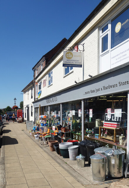
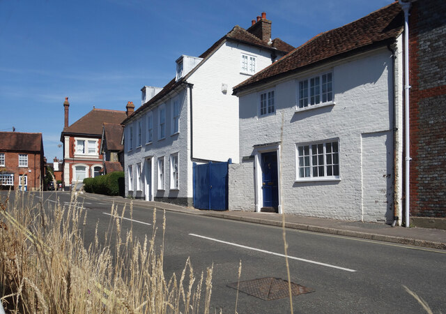
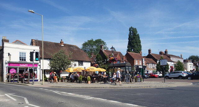
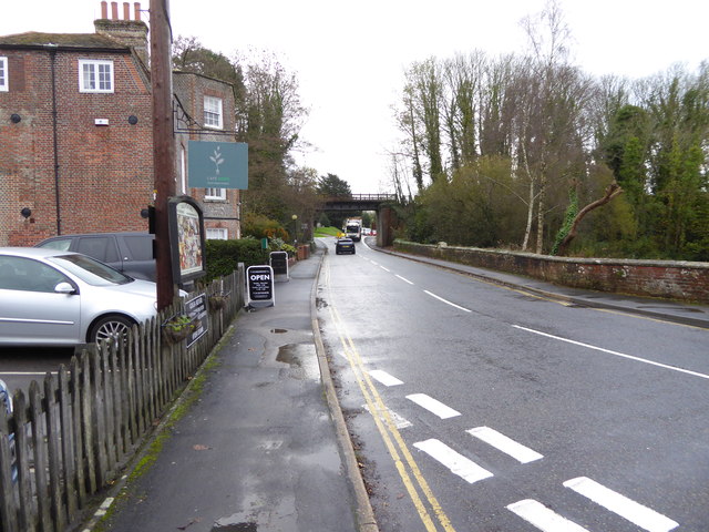
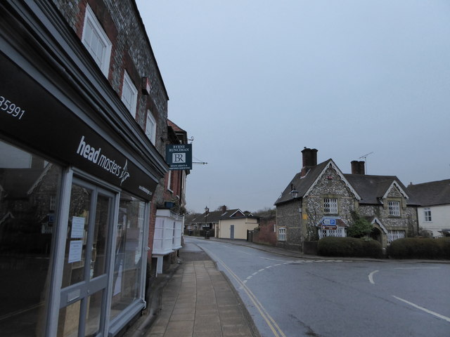
Wickham, Hampshire

Wickham () is a large village in the civil parish of Wickham and Knowle, in the Winchester district, in the county of Hampshire, England. It is about 3...

New Place, Shirrell Heath

New Place, Shirrell Heath, Shedfield, Hampshire, England, is a former county house, now a hotel, designed by Edwin Lutyens. It is a Grade I listed building...
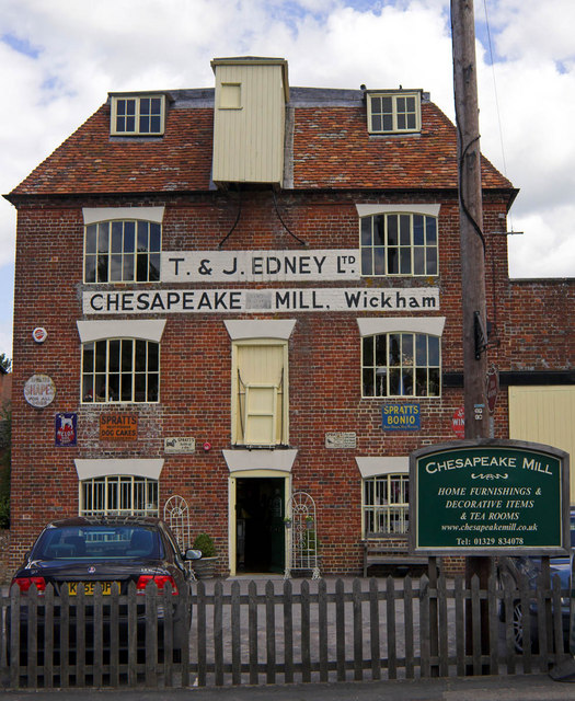
Chesapeake Mill

The Chesapeake Mill is a watermill in Wickham, Hampshire, England. The flour mill was constructed in 1820 using the timbers of HMS Chesapeake, which had...

Wickham railway station (Hampshire)

Wickham (Hants) railway station served the village of Wickham in Hampshire, England. It was on the Meon Valley line of the London and South Western Railway...

Meon Valley Trail (cycle trail)

The Meon Valley Trail is a 16 kilometres (9.9 mi) trail for cyclists in Hampshire, England. The trail passes through Butser Hill, Clanfield, West Meon...

Shirrell Heath

Shirrell Heath is a village and top of a modest escarpment of the South Downs National Park in south Hampshire, England. Shirrell Heath, and its neighbouring...

Knowle, Hampshire

Knowle is a village with mainly 21st century shops and businesses in the civil parish of Wickham and Knowle, in the Winchester district of Hampshire, England...

Related Videos

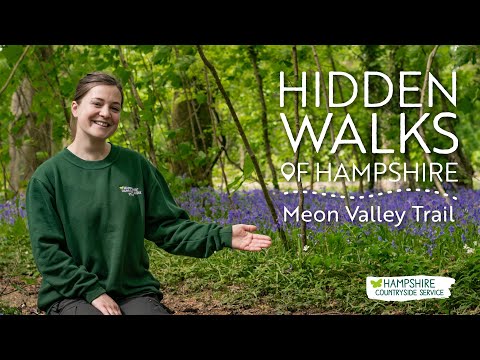
A beautiful walk among the bluebells | Hidden Walks of Hampshire #6

In this instalment of Hidden Walks of Hampshire, Megan leads us on stroll to a bluebell wood. Starting from Wickham, we follow ...

On Holiday With 2 Macaws || A Day In The Life With Mikey & Mia

Welcome to A Day In The Life Of Mikey and Mia on Holiday! This video is a full day of us taking our 2 Macaws on vacation, ...

Relaxing Wickham walk - Meon Valley

Join us for a relaxing stroll in Wickham, Hampshire.

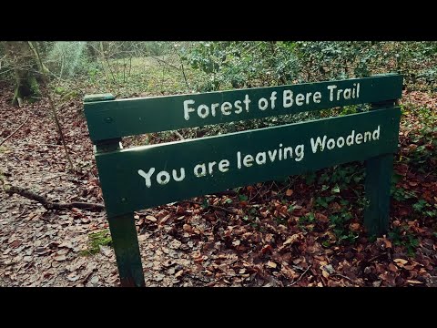
Winter walk at the Forest of Bere

Cinematic video filmed using the GoPro hero 12 and GoPro hero 10 at a local woodland walk. GoPro hero 12 ...

Nearby Amenities

Located within 500m of 50.906733,-1.2060135
Barrier: stile
Lat/Long: 50.9026009/-1.2080405
Barrier: stile
Lat/Long: 50.9050085/-1.2076056
Barrier: stile
Lat/Long: 50.9107911/-1.2055269
The data included in this document is from www.openstreetmap.org. The data is made available under ODbL.

Have you been to Tankerhill Copse?

Leave your review of Tankerhill Copse below (or comments, questions and feedback).