Upper Dagwells Copse
Wood, Forest in Hampshire Winchester
England
Upper Dagwells Copse

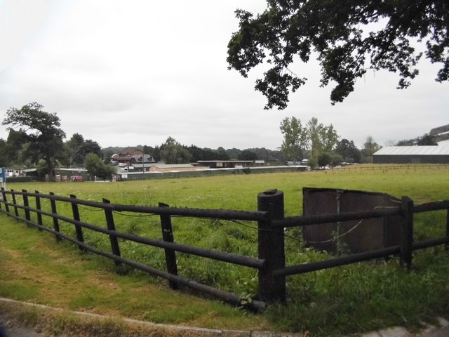
Upper Dagwells Copse is a picturesque wood located in the county of Hampshire, England. Nestled within the South Downs National Park, this enchanting forest covers an area of approximately 50 acres, providing an idyllic retreat for nature lovers and outdoor enthusiasts.
The copse is predominantly composed of deciduous trees, including oak, ash, and beech, which create a dense canopy, casting dappled shadows on the forest floor. This diverse range of trees offers a rich habitat for a variety of wildlife, from birds and small mammals to insects and fungi.
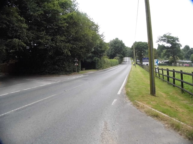
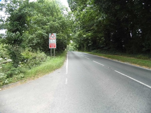
Visitors to Upper Dagwells Copse can explore a network of well-maintained footpaths that meander through the woodland, allowing for leisurely walks and nature trails. Along these paths, one can immerse themselves in the tranquil ambiance, enjoying the soothing sounds of rustling leaves and birdsong.
The copse is particularly renowned for its vibrant display of wildflowers during springtime, when the forest floor is adorned with bluebells, primroses, and wood anemones. This burst of color attracts not only human admirers but also an array of pollinators, such as bees and butterflies.
Upper Dagwells Copse also offers a sense of history, with evidence of ancient human habitation in the form of earthworks and archaeological finds. These remnants serve as a reminder of the copse's long-standing significance in the local community.
Overall, Upper Dagwells Copse in Hampshire is a cherished natural gem, providing an opportunity for visitors to connect with nature, indulge in peaceful walks, and marvel at the beauty of the forest's flora and fauna.
If you have any feedback on the listing, please let us know in the comments section below.
Upper Dagwells Copse Images
Images are sourced within 2km of 50.913776/-1.2143431 or Grid Reference SU5512. Thanks to Geograph Open Source API. All images are credited.


Upper Dagwells Copse is located at Grid Ref: SU5512 (Lat: 50.913776, Lng: -1.2143431)
Administrative County: Hampshire
District: Winchester
Police Authority: Hampshire
What 3 Words
///decompose.repaying.marble. Near Wickham, Hampshire
Related Wikis

Shedfield
Shedfield is a village and civil parish in the City of Winchester district of Hampshire, England. In the 2001 UK Census, Shedfield had a population of...

New Place, Shirrell Heath
New Place, Shirrell Heath, Shedfield, Hampshire, England, is a former county house, now a hotel, designed by Edwin Lutyens. It is a Grade I listed building...
Meon Valley Trail (cycle trail)
The Meon Valley Trail is a 16 kilometres (9.9 mi) trail for cyclists in Hampshire, England. The trail passes through Butser Hill, Clanfield, West Meon...
Wickham, Hampshire
Wickham () is a large village in the civil parish of Wickham and Knowle, in the Winchester district, in the county of Hampshire, England. It is about 3...
Shirrell Heath
Shirrell Heath is a village and top of a modest escarpment of the South Downs National Park in south Hampshire, England. Shirrell Heath, and its neighbouring...

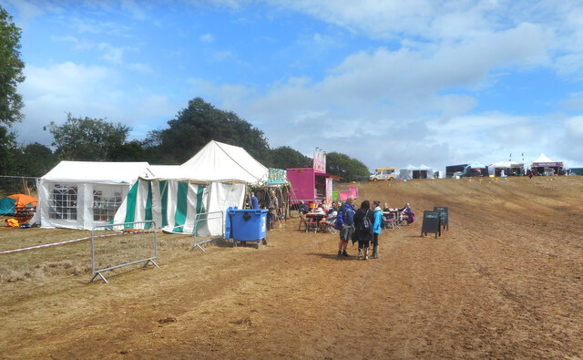
The Curdridge Country Show
The Curdridge Country Show is an annual country fair in Curdridge, Hampshire, England. The event is held mid-July on a Saturday, and attracts up to 7000...
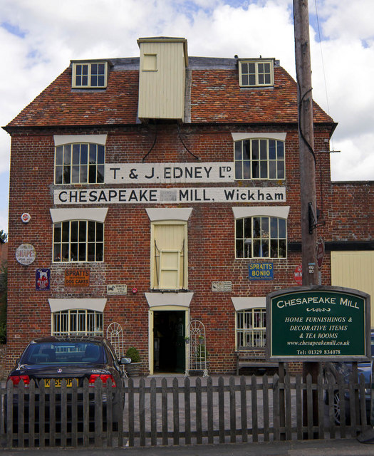
Chesapeake Mill
The Chesapeake Mill is a watermill in Wickham, Hampshire, England. The flour mill was constructed in 1820 using the timbers of HMS Chesapeake, which had...

Wickham railway station (Hampshire)
Wickham (Hants) railway station served the village of Wickham in Hampshire, England. It was on the Meon Valley line of the London and South Western Railway...
Nearby Amenities
Located within 500m of 50.913776,-1.2143431Have you been to Upper Dagwells Copse?
Leave your review of Upper Dagwells Copse below (or comments, questions and feedback).