Unhill Wood
Wood, Forest in Berkshire South Oxfordshire
England
Unhill Wood

Unhill Wood is a picturesque woodland located in the county of Berkshire, England. Stretching over a vast area, it offers a serene and tranquil escape from the hustle and bustle of everyday life. The wood is situated near the village of Unhill, which lends its name to the enchanting forest.
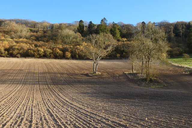
Covered in a dense canopy of trees, Unhill Wood boasts a rich variety of flora and fauna. The woodland is predominantly populated by oak, beech, and ash trees, creating a diverse ecosystem that supports a wide range of wildlife. Bird enthusiasts will be delighted to spot species such as the great spotted woodpecker, tawny owl, and various songbirds flitting among the branches.
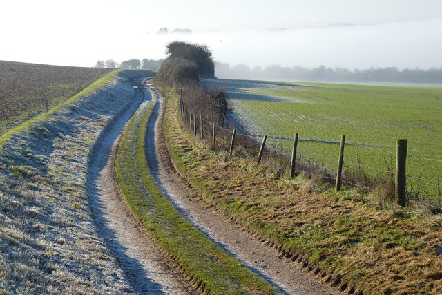
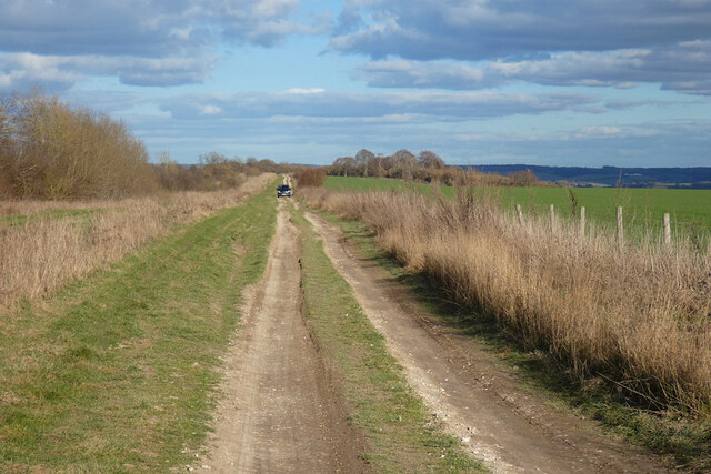
Walking through Unhill Wood, visitors can meander along well-maintained trails that wind their way through the forest, allowing for easy exploration. The woodland floor is often carpeted with bluebells in the spring, creating a breathtaking sight and filling the air with a delicate floral fragrance.
Unhill Wood is not only a haven for nature lovers but also a popular destination for outdoor enthusiasts. The wood offers opportunities for activities such as hiking, birdwatching, and photography. Its tranquil atmosphere makes it an ideal spot for picnics or simply unwinding amidst the beauty of nature.
Managed by local authorities, Unhill Wood is well-preserved and accessible to the public throughout the year. It is a cherished natural gem, providing a peaceful retreat where visitors can connect with the natural world and immerse themselves in the beauty of Berkshire's countryside.
If you have any feedback on the listing, please let us know in the comments section below.
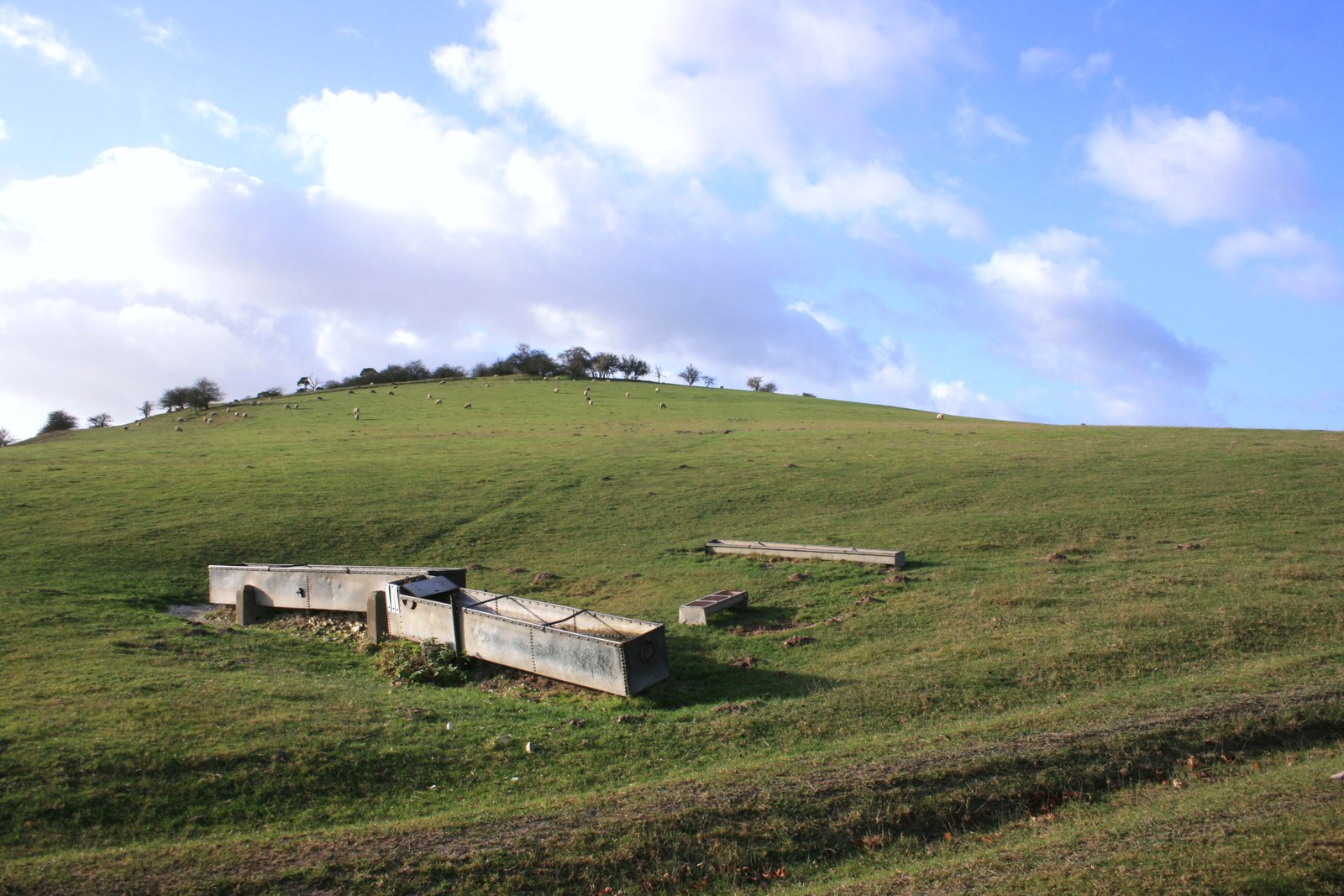
Unhill Wood Images
Images are sourced within 2km of 51.534407/-1.1968316 or Grid Reference SU5582. Thanks to Geograph Open Source API. All images are credited.


Unhill Wood is located at Grid Ref: SU5582 (Lat: 51.534407, Lng: -1.1968316)
Administrative County: Oxfordshire
District: South Oxfordshire
Police Authority: Thames Valley
What 3 Words
///funds.nothing.finishers. Near Goring, Oxfordshire
Nearby Locations
Related Wikis

Streatley Warren
Streatley Warren is a 31.3-hectare (77-acre) biological Site of Special Scientific Interest west of Streatley in Berkshire. It is in the North Wessex Downs...

Battle of Ashdown
The Battle of Ashdown was a West Saxon victory over a Danish Viking army on about 8 January 871. The location of Ashdown is not known, but may be Kingstanding...
Moulsford Downs
Moulsford Downs is a 13.6-hectare (34-acre) biological Site of Special Scientific Interest north-west of Goring-on-Thames in Oxfordshire.This chalk grassland...

Aston Upthorpe Downs
Aston Upthorpe Downs is a 38.5-hectare (95-acre) biological Site of Special Scientific Interest south of Aston Upthorpe in Oxfordshire. It is a Nature...
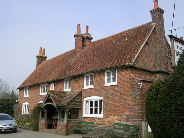
The Bell Inn, Aldworth
The Bell Inn is a pub at the village of Aldworth, in the English county of West Berkshire. It won CAMRA's National Pub of the Year in 1990, and received...

Goring & Streatley Golf Club
Goring & Streatley Golf Club is a golf course in the village of Streatley, in the English county of Berkshire. It takes its name partly from that village...

Aldworth
Aldworth is a village and mainly farmland civil parish in the English county of Berkshire, near the boundary with Oxfordshire. == Orthography and slight... ==

Lardon Chase, the Holies and Lough Down
Lardon Chase, the Holies and Lough Down is a National Trust countryside property in the English county of Berkshire. It is situated on the edge of the...
Have you been to Unhill Wood?
Leave your review of Unhill Wood below (or comments, questions and feedback).