Fuller's Firs
Wood, Forest in Berkshire South Oxfordshire
England
Fuller's Firs

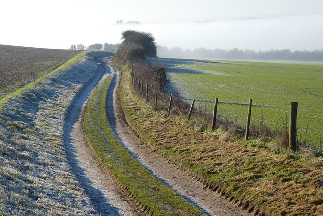
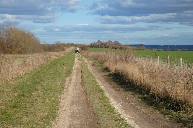
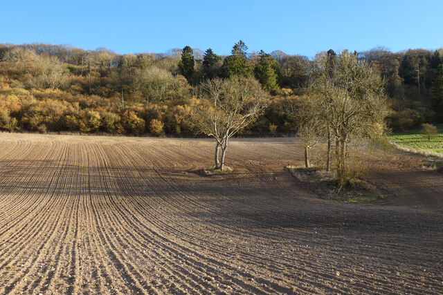
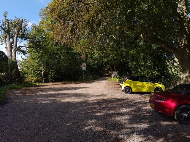
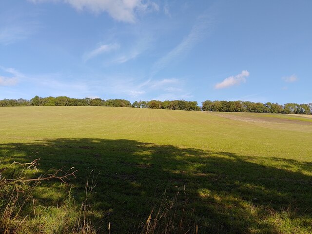
Fuller's Firs is a charming woodland located in Berkshire, England. This picturesque forest covers an area of approximately 100 acres and is known for its stunning beauty and tranquil atmosphere. It is a popular destination for nature lovers, hikers, and families seeking a peaceful retreat away from the bustling city life.
The forest is predominantly composed of fir trees, hence its name, which provide a lush green canopy throughout the year. The towering firs create a sense of serenity and offer shade during the warmer months. The forest floor is covered in a thick carpet of moss and fallen leaves, creating a soft and inviting path for visitors to explore.
Fuller's Firs is home to a diverse range of flora and fauna. The forest supports a variety of bird species, including woodpeckers, owls, and songbirds, making it a haven for birdwatchers. Squirrels and rabbits can also be spotted darting through the undergrowth, adding to the woodland's enchanting ambiance.
The forest features several well-maintained walking trails, allowing visitors to immerse themselves in nature while enjoying a leisurely stroll. These paths wind through the forest, offering glimpses of sunlight filtering through the tree canopy and providing opportunities for photography enthusiasts to capture the beauty of the surroundings.
With its idyllic setting and peaceful atmosphere, Fuller's Firs is an ideal destination for those seeking a break from the fast-paced urban life. It is a place where visitors can reconnect with nature, breathe in the fresh air, and experience the tranquility of the Berkshire woodlands.
If you have any feedback on the listing, please let us know in the comments section below.
Fuller's Firs Images
Images are sourced within 2km of 51.540313/-1.199251 or Grid Reference SU5582. Thanks to Geograph Open Source API. All images are credited.


Fuller's Firs is located at Grid Ref: SU5582 (Lat: 51.540313, Lng: -1.199251)
Administrative County: Oxfordshire
District: South Oxfordshire
Police Authority: Thames Valley
What 3 Words
///basin.forgot.songbook. Near Blewbury, Oxfordshire
Nearby Locations
Related Wikis

Aston Upthorpe Downs
Aston Upthorpe Downs is a 38.5-hectare (95-acre) biological Site of Special Scientific Interest south of Aston Upthorpe in Oxfordshire. It is a Nature...

Battle of Ashdown
The Battle of Ashdown was a West Saxon victory over a Danish Viking army on about 8 January 871. The location of Ashdown is not known, but may be Kingstanding...

Streatley Warren
Streatley Warren is a 31.3-hectare (77-acre) biological Site of Special Scientific Interest west of Streatley in Berkshire. It is in the North Wessex Downs...
Moulsford Downs
Moulsford Downs is a 13.6-hectare (34-acre) biological Site of Special Scientific Interest north-west of Goring-on-Thames in Oxfordshire.This chalk grassland...
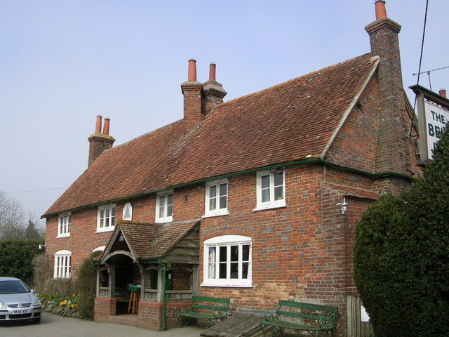
The Bell Inn, Aldworth
The Bell Inn is a pub at the village of Aldworth, in the English county of West Berkshire. It won CAMRA's National Pub of the Year in 1990, and received...

Goring & Streatley Golf Club
Goring & Streatley Golf Club is a golf course in the village of Streatley, in the English county of Berkshire. It takes its name partly from that village...

Aston Tirrold
Aston Tirrold is a village and civil parish at the foot of the Berkshire Downs about 3 miles (5 km) southeast of Didcot. It was part of Berkshire until...

Lardon Chase, the Holies and Lough Down
Lardon Chase, the Holies and Lough Down is a National Trust countryside property in the English county of Berkshire. It is situated on the edge of the...
Related Videos

A walk to The Bell Inn, Aldworth and a stroll around Streatley Hill
A daytime walk in the Thames valley around Goring & Streatley, with the main objective being to visit the beautiful Bell Inn at ...
England's Mythical Woodland
A misty flythrough of the ancient Unhill Woods in Oxfordshire. Music: "Saying Goodbye to Earth" by Joel Martinson Dedicated to ...

The Sleeping Giants of Aldworth
St Mary Church in Aldworth , The Knights were actual Giants. The de la Beche family was important in the first half of the 14 th ...

Brushless all electric Enduro @ashdownmotocrosstrackoxord7742
awesome day @ashdownmx3048 looking forward to the next one. Check out BrushlessMX.com #talaria #lmxbikes #surron ...
Have you been to Fuller's Firs?
Leave your review of Fuller's Firs below (or comments, questions and feedback).