Dawland Wood

Wood, Forest in Yorkshire Selby

England

Dawland Wood

No through road But which road is it?
No through road Credit: Graham Hogg

Dawland Wood is a picturesque woodland located in Yorkshire, England. Situated on the edge of the Yorkshire Dales National Park, this enchanting forest covers an area of approximately 500 acres, offering visitors a tranquil and natural retreat from the hustle and bustle of daily life.

The woods are characterized by a diverse range of tree species, including oak, beech, birch, and ash, creating a rich and vibrant tapestry of colors throughout the seasons. The forest floor is carpeted with a variety of wildflowers, adding to the area's natural beauty.

Dawland Wood is home to a plethora of wildlife, making it a haven for nature enthusiasts and bird watchers. Visitors may spot indigenous species such as red deer, roe deer, badgers, and foxes. The woodland is also frequented by a variety of bird species, including woodpeckers, owls, and jays.

There are several well-maintained walking trails that wind their way through the woods, allowing visitors to explore the natural wonders at their own pace. The paths are lined with informative signs that provide interesting facts about the local flora and fauna, enhancing the educational experience for those interested in learning more about the ecosystem.

The wood is open to the public year-round, and visitors are encouraged to respect the natural environment by adhering to the "leave no trace" principles. Dawland Wood is a hidden gem in Yorkshire, offering a peaceful and immersive woodland experience for all nature lovers to enjoy.

If you have any feedback on the listing, please let us know in the comments section below.
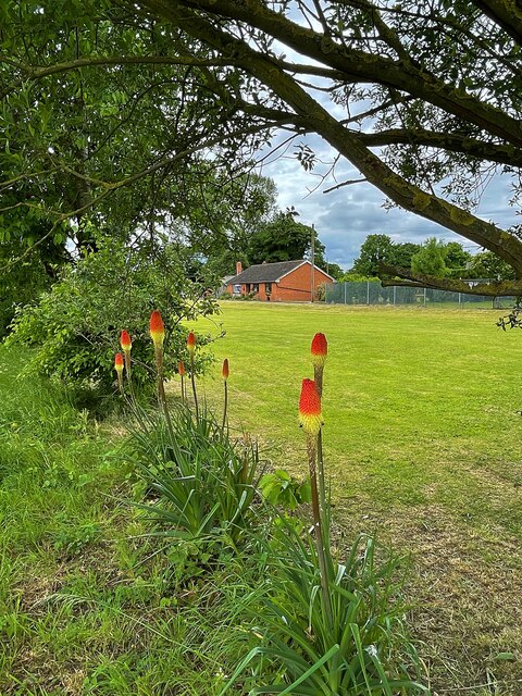
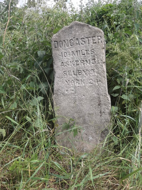
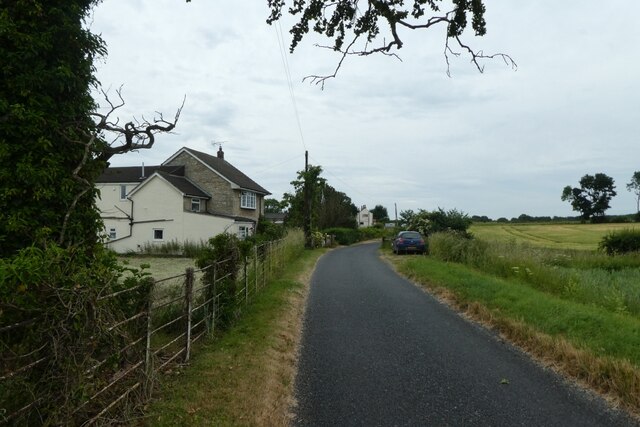
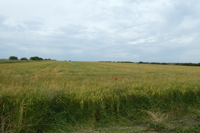
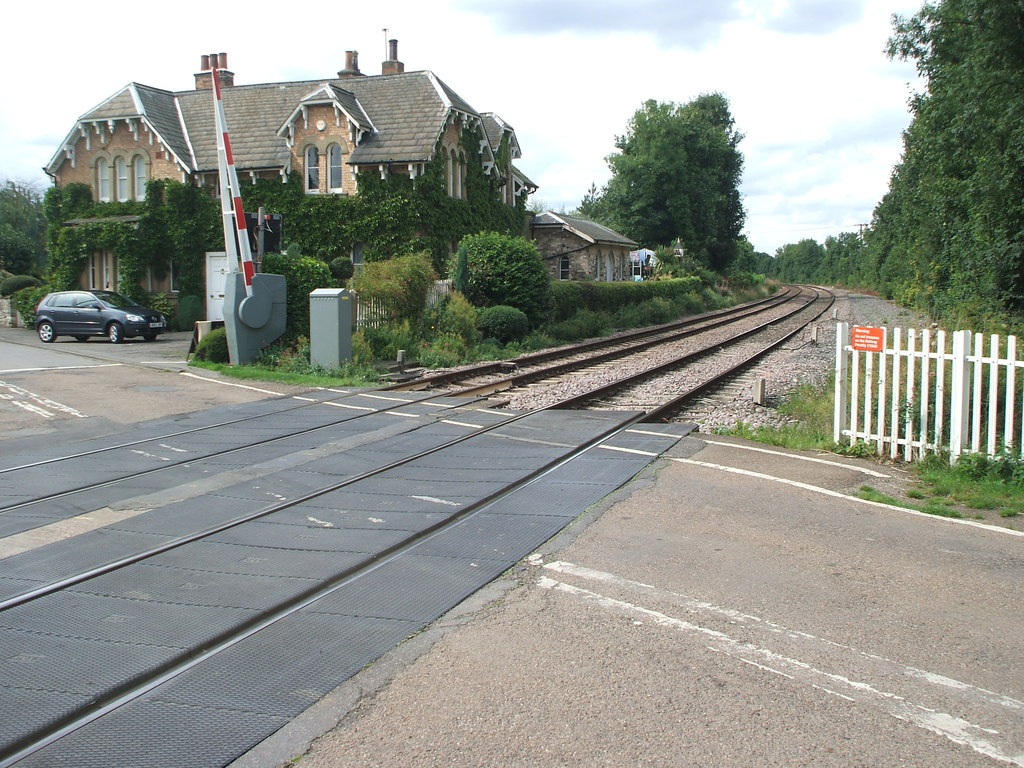
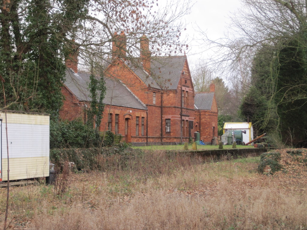
Dawland Wood Images

Images are sourced within 2km of 53.658012/-1.1603251 or Grid Reference SE5518. Thanks to Geograph Open Source API. All images are credited.

No through road But which road is it?
No through road
But which road is it?
The Chapel Former chapel converted to residential use
The Chapel
Former chapel converted to residential use
Red hot poker flowers in the hedgerow Beside a grassed field in Walden Stubbs
Red hot poker flowers in the hedgerow
Beside a grassed field in Walden Stubbs
Waymarker beside a field path Little sign of the path in the tall grass here and beyond the marker it got worse - a jungle of nettles, brambles, thistles and tree branches. See <a href="https://www.geograph.org.uk/photo/7187978">SE5516 : Entrance to public footpath</a> for the other end of this obstructed path.
Waymarker beside a field path
Little sign of the path in the tall grass here and beyond the marker it got worse - a jungle of nettles, brambles, thistles and tree branches. See SE5516 : Entrance to public footpath for the other end of this obstructed path.
Entrance to public footpath Though beyond there was almost no sign of the path, just a jungle of nettles, brambles, thistles and tree branches. See <a href="https://www.geograph.org.uk/photo/7187975">SE5516 : Waymarker beside a field path</a> for the other end of this obstructed path.
Entrance to public footpath
Though beyond there was almost no sign of the path, just a jungle of nettles, brambles, thistles and tree branches. See SE5516 : Waymarker beside a field path for the other end of this obstructed path.
Old milestone The Doncaster to Selby tollroad was one of the last in Yorkshire to be enacted.   However some of the milestones do get hidden in the hedges and ditches in the summer.   Although a mileage to York is on the stones the road north of the River Ouse in Selby was never turnpiked.   This stone is south of Balne Moor Crossroads at a minor crossroads.
Old milestone
The Doncaster to Selby tollroad was one of the last in Yorkshire to be enacted. However some of the milestones do get hidden in the hedges and ditches in the summer. Although a mileage to York is on the stones the road north of the River Ouse in Selby was never turnpiked. This stone is south of Balne Moor Crossroads at a minor crossroads.
Farmland and GSM-R mast Looking across fields to the south of Womersley. Ahead is the Knottingley to Shaftholme Junction railway line with its associated GSM-R mast providing communication.
Farmland and GSM-R mast
Looking across fields to the south of Womersley. Ahead is the Knottingley to Shaftholme Junction railway line with its associated GSM-R mast providing communication.
Fields beside Willowbridge Road Looking across farmland to the south of Womersley.
Fields beside Willowbridge Road
Looking across farmland to the south of Womersley.
Track to Gill's No. 1 A farm track heading from Willowbridge Road to Gill's No. 1 level crossing over the Knottingley and Shaftholme Junction line.
Track to Gill's No. 1
A farm track heading from Willowbridge Road to Gill's No. 1 level crossing over the Knottingley and Shaftholme Junction line.
Road towards Walden Stubbs Running between Willowbridge Road and Stubbs Road.
Road towards Walden Stubbs
Running between Willowbridge Road and Stubbs Road.
Fields near Willowbridge Road Looking across fields from the start of a lane running between Willowbridge Road and Stubbs Road.
Fields near Willowbridge Road
Looking across fields from the start of a lane running between Willowbridge Road and Stubbs Road.
Track to Gill's No. 2 level crossing A farm track heading across arable fields to Gill's No. 2 level crossing on the Knottingley to Shaftholme Junction line.
Track to Gill's No. 2 level crossing
A farm track heading across arable fields to Gill's No. 2 level crossing on the Knottingley to Shaftholme Junction line.
Approaching Grove Farm The road runs between Willowbridge Road and Stubbs Road.
Approaching Grove Farm
The road runs between Willowbridge Road and Stubbs Road.
Grove Farm With a noisy dog in residence.
Grove Farm
With a noisy dog in residence.
Road near Birka Drain The road runs between Willowbridge Road and Stubbs Road.
Road near Birka Drain
The road runs between Willowbridge Road and Stubbs Road.
Cattle near Little Grove Farm Looking across a field of cattle along the road between Willowbridge Road and Stubbs Road.
Cattle near Little Grove Farm
Looking across a field of cattle along the road between Willowbridge Road and Stubbs Road.
Tractor north of Stubbs Bridge The road runs between Willowbridge Road and Stubbs Road.
Tractor north of Stubbs Bridge
The road runs between Willowbridge Road and Stubbs Road.
Field north of Stubbs Bridge The farmer was in the field inspecting the crops.
Field north of Stubbs Bridge
The farmer was in the field inspecting the crops.
Show me another place!

Dawland Wood is located at Grid Ref: SE5518 (Lat: 53.658012, Lng: -1.1603251)

Division: West Riding

Administrative County: North Yorkshire

District: Selby

Police Authority: North Yorkshire

What 3 Words

///branch.thrashed.cube. Near Norton, South Yorkshire

Related Wikis

Walden Stubbs

Walden Stubbs is a small, rural village and civil parish in North Yorkshire, England. At the 2011 Census, the population was less than 100, so the details...

Womersley railway station

Womersley railway station was a railway station in North Yorkshire, England. It was situated on the Askern Branch Line and was built by the Lancashire...

Whitley Preceptory

Whitley Preceptory was a priory in North Yorkshire, England. The site of the priory is thought to have been located 0.62 miles (1 km) south west of the...

Womersley

Womersley is a village in North Yorkshire, England. The parish population at the 2011 census (including Stapleton and Walden Stubbs) was 515. It is near...

Norton railway station (South Yorkshire)

Norton (South Yorkshire) railway station was a railway station to serve Norton, South Yorkshire, England. It was built by the Wakefield, Pontefract and...

Norton, Doncaster

Norton is a village and civil parish in the City of Doncaster, South Yorkshire, England, on the borders with North and West Yorkshire. The civil parish...

Whitley, North Yorkshire

Whitley is a village in North Yorkshire, England, close to the Aire and Calder Navigation and the M62 motorway. The population of the village at the 2001...

Kirk Smeaton railway station

Kirk Smeaton railway station is located on the east side of Willowbridge Road in Little Smeaton, North Yorkshire, England. It opened on 22 July 1885, two...

Have you been to Dawland Wood?

Leave your review of Dawland Wood below (or comments, questions and feedback).