Crow Wood
Wood, Forest in Yorkshire Ryedale
England
Crow Wood
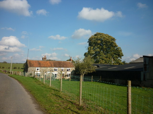
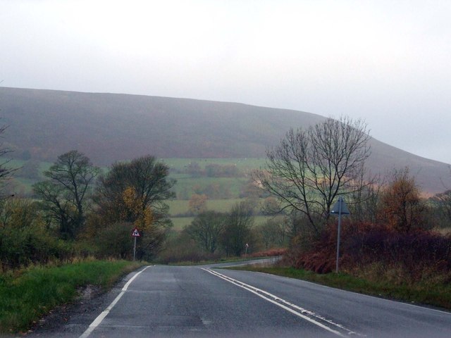
Crow Wood is a picturesque forest located in the county of Yorkshire, England. Situated within the wider landscape of the Yorkshire Dales, this wood is known for its natural beauty and diverse ecosystem. Covering an expansive area of rolling hills and dense woodland, Crow Wood offers visitors a tranquil escape from the bustling city life.
The forest is predominantly composed of deciduous trees, such as oak, beech, and birch, which create a stunning canopy of vibrant colors during the autumn months. The wood also boasts a variety of plant species, including bluebells, wild garlic, and ferns, adding to its enchanting atmosphere.
Crow Wood is home to a rich array of wildlife, making it a haven for nature enthusiasts and birdwatchers. Visitors may spot various bird species, including tawny owls, woodpeckers, and thrushes. The wood also provides a habitat for mammals like deer, foxes, and badgers, which can occasionally be glimpsed among the trees.
Numerous walking trails wind through the wood, allowing visitors to explore its beauty at their own pace. These paths provide access to scenic viewpoints, babbling brooks, and hidden glades, offering a sense of discovery and adventure. Additionally, the wood has several picnic areas where visitors can relax and enjoy the peaceful surroundings.
Crow Wood, Yorkshire, offers a serene and captivating experience for those seeking to immerse themselves in nature's wonders. With its breathtaking landscapes, diverse wildlife, and tranquil ambiance, it is a must-visit destination for anyone looking to escape the hustle and bustle of everyday life.
If you have any feedback on the listing, please let us know in the comments section below.
Crow Wood Images
Images are sourced within 2km of 54.297299/-1.1474052 or Grid Reference SE5589. Thanks to Geograph Open Source API. All images are credited.


![Path towards the bottom of Ayton Bank Two contributors [Peter Church <a title="https://www.geograph.org.uk/photo/1331884" href="https://www.geograph.org.uk/photo/1331884">Link</a> 2009, Philip Barker <a title="https://www.geograph.org.uk/photo/2027337" href="https://www.geograph.org.uk/photo/2027337">Link</a> 2010] have photographed this spot, but there have been recent changes as the estate has renewed the fencing along the side of the moor edge path and inserted a hand gate at the start of this path which plunges down the hillside.](https://s2.geograph.org.uk/geophotos/07/62/55/7625570_00a1524a.jpg)


Crow Wood is located at Grid Ref: SE5589 (Lat: 54.297299, Lng: -1.1474052)
Division: North Riding
Administrative County: North Yorkshire
District: Ryedale
Police Authority: North Yorkshire
What 3 Words
///imported.depth.zones. Near Helmsley, North Yorkshire
Nearby Locations
Related Wikis

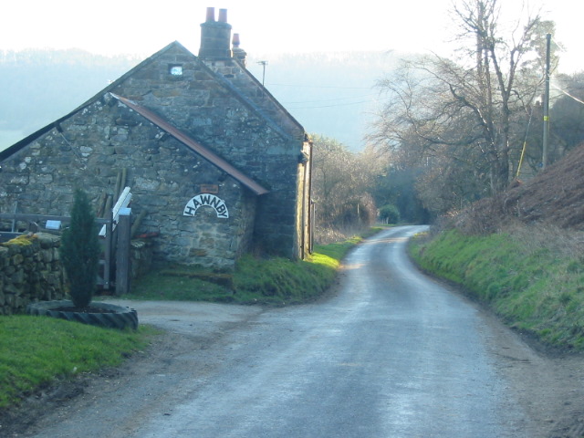
Hawnby
Hawnby is a small crossroads village and civil parish in Ryedale in the North York Moors National Park, North Yorkshire, England. The village is about...

Laskill
Laskill is a small hamlet in Bilsdale, 5 miles (8 km) north-west of Helmsley, North Yorkshire, England, on the road from Helmsley to Stokesley and is located...

Bilsdale
Bilsdale is a dale in the western part of the North York Moors in North Yorkshire, England. The head of the dale is at Hasty Bank, and the dale extends...

Swiss Cottage, Rievaulx
Swiss Cottage is a Grade II listed building in the English village of Rievaulx, North Yorkshire. It dates to at least the 17th century, with earlier origins...

Rievaulx
Rievaulx (usually pronounced REE-voh) is a small village and civil parish in Rye Dale within the North York Moors National Park near Helmsley in North...

Rievaulx Abbey
Rievaulx Abbey ( ree-VOH) was a Cistercian abbey in Rievaulx, near Helmsley, in the North York Moors National Park, North Yorkshire, England. It was one...

Rievaulx Terrace
Rievaulx Terrace is a site located in the North York Moors National Park, in North Yorkshire, England, overlooking Rievaulx Abbey and owned by the National...

Old Byland and Scawton
Old Byland and Scawton is a civil parish in the Ryedale district, in the county of North Yorkshire, England. The parish includes the villages of Old Byland...
Nearby Amenities
Located within 500m of 54.297299,-1.1474052Have you been to Crow Wood?
Leave your review of Crow Wood below (or comments, questions and feedback).