Tabramhill Wood
Wood, Forest in Nottinghamshire Gedling
England
Tabramhill Wood
Tabramhill Wood is a picturesque woodland located in Nottinghamshire, England. Covering an area of approximately 50 acres, it is a beautiful example of a mixed broadleaf forest. The wood is situated near the village of Tabramhill, hence its name, and is easily accessible by a network of well-maintained walking trails.
The woodland is characterized by a diverse range of tree species, including oak, ash, beech, and birch. These towering trees create a dense canopy, providing a cool and shaded environment for visitors to explore. The forest floor is adorned with a rich carpet of mosses, ferns, and wildflowers, adding to its natural beauty.
Tabramhill Wood is home to a wide variety of wildlife. Birdwatchers will be delighted to spot species such as woodpeckers, owls, and jays amongst the branches, while small mammals like squirrels and foxes scurry about on the forest floor. In spring, the air is filled with the enchanting songs of birds and the sweet scent of blossoming flowers.
The wood is a popular destination for nature enthusiasts, hikers, and families seeking a peaceful retreat. Its well-marked trails cater to all levels of fitness, with options for short leisurely strolls or longer, more challenging hikes. Numerous benches and picnic areas are scattered throughout the woodland, offering visitors the opportunity to rest and admire the tranquil surroundings.
Tabramhill Wood is not only a haven for wildlife but also acts as an important ecological site, playing a crucial role in maintaining the local ecosystem. Its preservation and conservation efforts are supported by local authorities and nature organizations, ensuring that future generations can continue to enjoy this natural treasure.
If you have any feedback on the listing, please let us know in the comments section below.
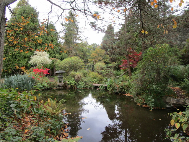
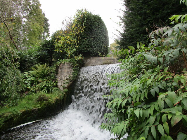
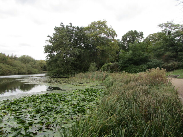
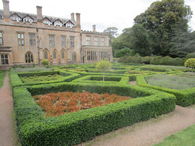
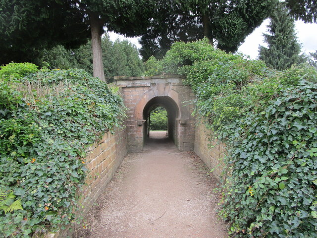
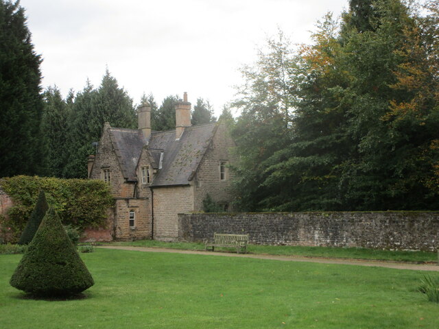
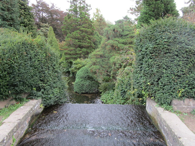
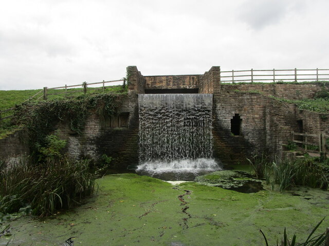
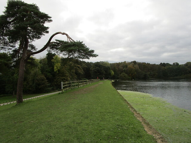
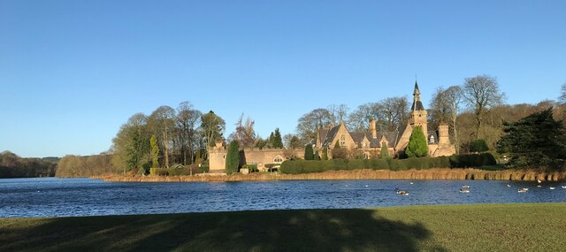
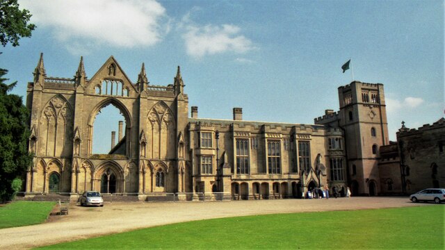
Tabramhill Wood Images
Images are sourced within 2km of 53.081602/-1.1760747 or Grid Reference SK5554. Thanks to Geograph Open Source API. All images are credited.


Tabramhill Wood is located at Grid Ref: SK5554 (Lat: 53.081602, Lng: -1.1760747)
Administrative County: Nottinghamshire
District: Gedling
Police Authority: Nottinghamshire
What 3 Words
///sobered.fattening.pumpkin. Near Ravenshead, Nottinghamshire
Nearby Locations
Related Wikis
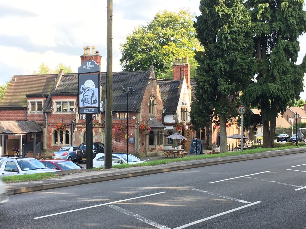
The Hutt
The Hutt is a public house located in the village of Ravenshead in Nottinghamshire, opposite Newstead Abbey. The pub was built on the site of The Royal...
Ravenshead
Ravenshead is a large village and civil parish in the Gedling district of Nottinghamshire, England. It borders Papplewick, Newstead Abbey and Blidworth...

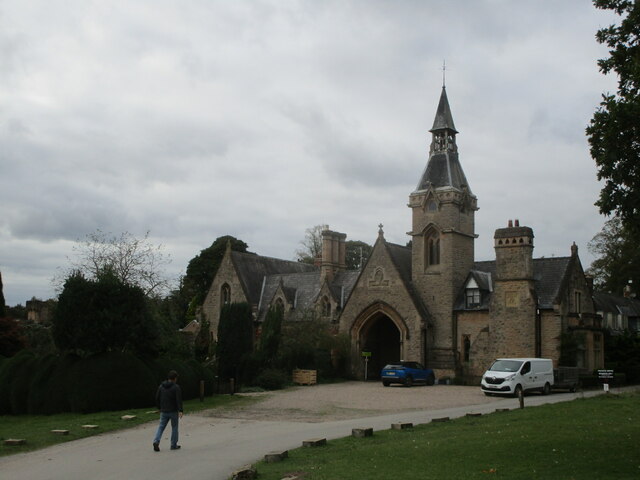
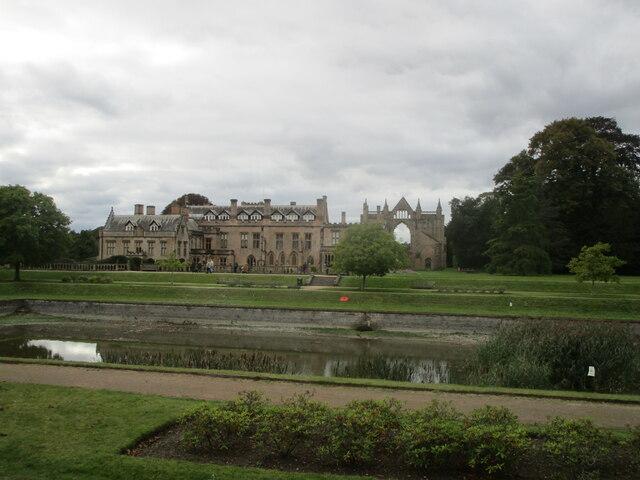
Newstead Abbey
Newstead Abbey, in Nottinghamshire, England, was formerly an Augustinian priory. Converted to a domestic home following the Dissolution of the Monasteries...

Papplewick Hall
Papplewick Hall is a Grade I listed English country house in Papplewick, Nottinghamshire. == History == It was completed around 1787 for the Hon. Frederick...

Portland College
Portland College is an education establishment near Ravenshead, Nottinghamshire, England. It is situated in 20 acres (81,000 m2) of Sherwood Forest, approximately...

Skegby Rural District
Skegby was a rural district in Nottinghamshire, England from 1894 to 1935. It was created under the Local Government Act 1894 based on that part of the...
Annesley South Junction Halt railway station
Annesley South Junction Halt is a former halt on the Great Central Railway on the section between Nottingham Victoria and Sheffield Victoria. The halt...
Hidden Valleys
Hidden Valleys is a name, coined in 2004, used to describe an area of interesting historical and scenic value between the city of Nottingham and the town...
Nearby Amenities
Located within 500m of 53.081602,-1.1760747Have you been to Tabramhill Wood?
Leave your review of Tabramhill Wood below (or comments, questions and feedback).