Horringford Withy Bed

Wood, Forest in Hampshire

England

Horringford Withy Bed

White Gate by the Cycleway A neat white painted wooden gate is beside the cycleway just here.
White Gate by the Cycleway Credit: Des Blenkinsopp

Horringford Withy Bed is a small woodland area located in Hampshire, England. Situated near the village of Horringford, it is known for its dense forest and abundance of withy beds.

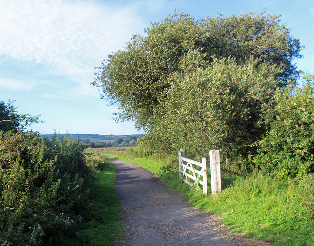
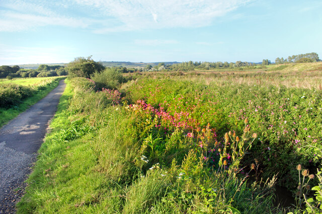
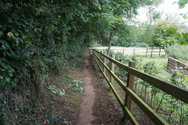
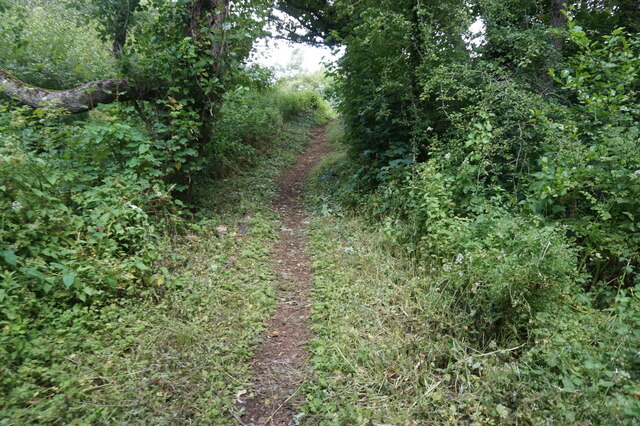
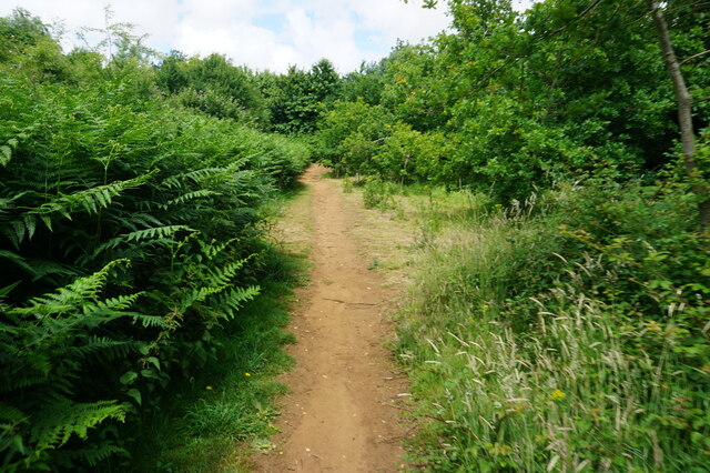
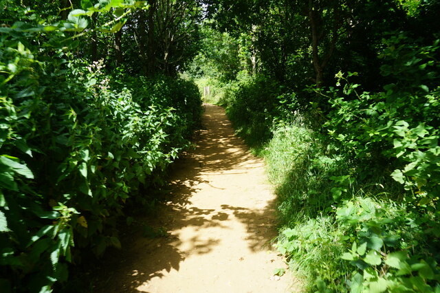
Covering an area of approximately 20 acres, Horringford Withy Bed is a natural haven for various species of flora and fauna. The woodland is characterized by its tall, mature trees, which include oak, beech, and ash. These trees provide a dense canopy that shades the forest floor, creating a cool and tranquil environment.

One of the defining features of Horringford Withy Bed is its extensive withy beds. Withies are long, flexible branches commonly found on willow trees. They have been traditionally used for various purposes, such as basket weaving and fencing. The withy beds in this woodland are carefully managed, with regular coppicing ensuring a sustainable supply of withies.

The woodland is home to a diverse range of wildlife. Many species of birds, such as woodpeckers, tawny owls, and buzzards, can be spotted among the trees. Small mammals like squirrels and foxes are also common inhabitants of the forest. In spring, the woodland floor transforms into a vibrant carpet of bluebells and wildflowers, attracting butterflies and other pollinators.

Horringford Withy Bed is a popular destination for nature enthusiasts, walkers, and photographers. It offers peaceful trails where visitors can explore the beauty of the woodland and enjoy its tranquility. The woodland provides a valuable habitat for wildlife and serves as a vital green space in the Hampshire countryside.

If you have any feedback on the listing, please let us know in the comments section below.

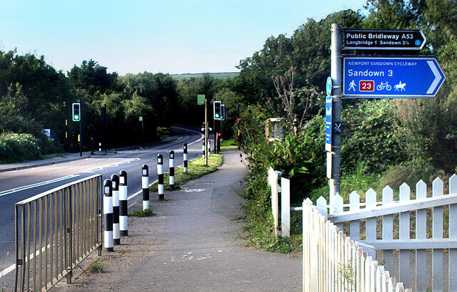
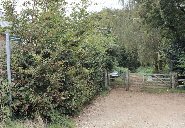
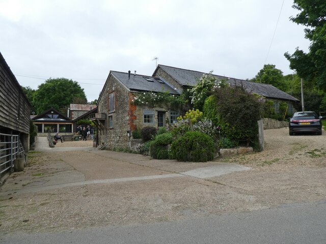
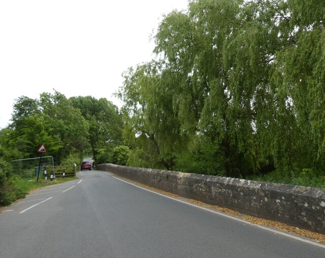
Horringford Withy Bed Images

Images are sourced within 2km of 50.662496/-1.2230133 or Grid Reference SZ5585. Thanks to Geograph Open Source API. All images are credited.

White Gate by the Cycleway A neat white painted wooden gate is beside the cycleway just here.
White Gate by the Cycleway
A neat white painted wooden gate is beside the cycleway just here.
Flowers by the Path A stream flows beside the track along here, down in a deep ditch. Wild flowers grow along the bank beside the old railway line.
Flowers by the Path
A stream flows beside the track along here, down in a deep ditch. Wild flowers grow along the bank beside the old railway line.
Access to the Old Railway An old railway line used to cross the road here. It is now a path and cycleway and a small parking area has been made at the crossing.
Access to the Old Railway
An old railway line used to cross the road here. It is now a path and cycleway and a small parking area has been made at the crossing.
The Rail Track Ends Here For some reason the Environment Agency needs the couple of hundred metres of old railway trackbed between here and the road. The path which has been using it for some time is diverted off to the left.
The Rail Track Ends Here
For some reason the Environment Agency needs the couple of hundred metres of old railway trackbed between here and the road. The path which has been using it for some time is diverted off to the left.
Cycleway Crosses the Road A signal controlled road crossing has been put in where the Newport Sandown Cycleway crosses the A3056.
Cycleway Crosses the Road
A signal controlled road crossing has been put in where the Newport Sandown Cycleway crosses the A3056.
Western entrance to Borthwood Copse Off Alverstone Road, via Public Footpath NC40 to Queens Bower half a mile away.
Western entrance to Borthwood Copse
Off Alverstone Road, via Public Footpath NC40 to Queens Bower half a mile away.
Cyclists riding on the Red Squirrel Trail, travelling west Captured during a cycle tour around the Isle of Wight in late May 2021.

The cyclists are using the so-called 'Red Squirrel Trail.'
Cyclists riding on the Red Squirrel Trail, travelling west
Captured during a cycle tour around the Isle of Wight in late May 2021. The cyclists are using the so-called 'Red Squirrel Trail.'
The Garlic Farm, near Newchurch
The Shute, Newchurch
The Pointer Inn
The Pointer Inn
Mini roundabout on Newport Road
The Fighting Cocks
The Fighting Cocks
Path at Hill Farm near Newchurch
Path leading to Newchurch
Path at Martin's Wood Nature Reserve, Newchurch
Show me another place!

Horringford Withy Bed is located at Grid Ref: SZ5585 (Lat: 50.662496, Lng: -1.2230133)

Unitary Authority: Isle of Wight

Police Authority: Hampshire

What 3 Words

///finds.delighted.emphasis. Near Newchurch, Isle of Wight

Related Wikis

Haseley Manor (Isle of Wight)

Haseley Manor is a 14th-century, Grade 2* listed property located in Arreton on the Isle of Wight. The name Haseley is derived from the Saxon Haesel-leah...

Horringford railway station

Horringford railway station was an intermediate station situated on the edge of Horringford village on the line from Newport to Sandown incorporated by...

Amazon World Zoo Park

Amazon World Zoo Park is a medium-sized zoo located in Newchurch, Isle of Wight on the outskirts of Sandown, England. The collection is based around the...

Hale Manor

Hale Manor (also Atehalle, la Hale) is a manor house on the Isle of Wight, situated in the parish of Arreton. It forms the south-eastern portion of...

Hale Common

Hale Common is a farming hamlet on the Isle of Wight. Hale Common is on the A3056 road between Lake and Arreton. Hale Common is northeast of Bathingbourne...

Horringford

Horringford is a settlement on the Isle of Wight, off the south coast of England. It is in the civil parish of Arreton. The hamlet lies on the A3056 road...

Knighton Gorges Manor

Knighton Gorges Manor was one of the grandest manor houses on the Isle of Wight, located in the hamlet of Knighton, near Newchurch. The Elizabethan-Tudor...

Newchurch, Isle of Wight

Newchurch is a village and civil parish on the Isle of Wight. It is located between Sandown and Newport in the southeast of the island. Anthony Dillington...

Nearby Amenities

Located within 500m of 50.662496,-1.2230133
Source: guess from yahoo imagery
Lat/Long: 50.6596105/-1.2276495
Source: guess from yahoo imagery
Lat/Long: 50.6608368/-1.2187177
Source: Locally rectified NPE map
Lat/Long: 50.662195/-1.2169226
Power: pole
Source: Bing
Lat/Long: 50.6613196/-1.2260244
Power: pole
Source: Bing
Lat/Long: 50.6621613/-1.2265715
Power: pole
Source: Bing
Lat/Long: 50.6629332/-1.2271053
Power: pole
Source: Bing
Lat/Long: 50.6638105/-1.2277088
Power: pole
Source: Bing
Lat/Long: 50.6647047/-1.2283177
Power: pole
Source: Bing
Lat/Long: 50.6646131/-1.2232758
Power: pole
Source: Bing
Lat/Long: 50.6590739/-1.2211832
Power: pole
Source: Bing
Lat/Long: 50.6597607/-1.2214852
Power: pole
Source: Bing
Lat/Long: 50.6620375/-1.2222957
Power: pole
Source: Bing
Lat/Long: 50.6658841/-1.2237605
Power: pole
Source: Bing
Lat/Long: 50.6608572/-1.2218481
Power: pole
Source: Bing
Lat/Long: 50.6633086/-1.2227804
Addr Housename: Kennel Cottage
Lat/Long: 50.6608954/-1.2184981
Entrance: yes
Lat/Long: 50.6602336/-1.2243441
Power: pole
Lat/Long: 50.6583355/-1.2239939
Power: pole
Lat/Long: 50.6605358/-1.225504
The data included in this document is from www.openstreetmap.org. The data is made available under ODbL.

Have you been to Horringford Withy Bed?

Leave your review of Horringford Withy Bed below (or comments, questions and feedback).