Langbridge

Settlement in Hampshire

England

Langbridge

Access to the Old Railway An old railway line used to cross the road here. It is now a path and cycleway and a small parking area has been made at the crossing.
Access to the Old Railway Credit: Des Blenkinsopp

Langbridge is a small village located in the county of Hampshire, England. Situated in the South East of the country, it is nestled within the rural countryside, providing residents with a peaceful and idyllic setting.

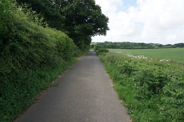
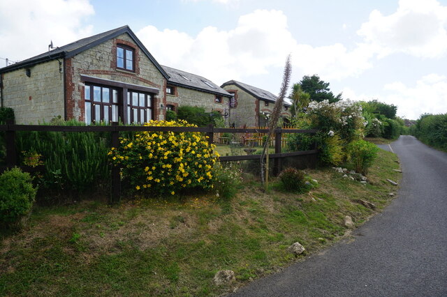
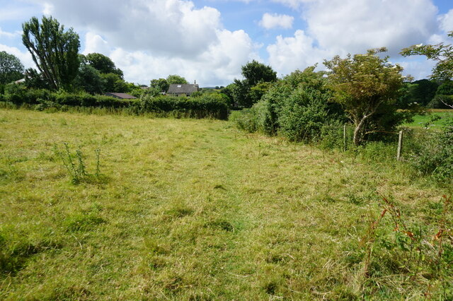
With a population of around 500 people, Langbridge is a close-knit community that exudes a friendly and welcoming atmosphere. The village is characterized by picturesque cottages and traditional architecture, giving it a quintessentially English charm. The surrounding landscape is dominated by rolling hills, lush green fields, and meandering streams, offering residents and visitors the opportunity to enjoy scenic walks and outdoor activities.

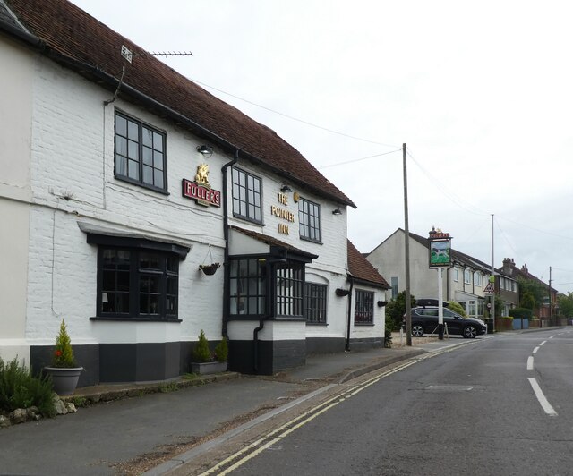
Despite its small size, Langbridge is well-equipped with amenities and services to meet the needs of its residents. The village boasts a primary school, a village hall, and a local pub, which serves as a social hub for the community. Additionally, there are several shops and businesses in the nearby area, providing convenient access to essential goods and services.

Langbridge is also conveniently located for those who wish to explore the wider region. The village is within easy reach of major road networks, allowing for straightforward travel to nearby towns and cities. The historic city of Winchester is just a short drive away, offering a wealth of cultural and historical attractions.

Overall, Langbridge offers a tranquil and picturesque setting for those seeking a peaceful rural lifestyle, while still providing easy access to essential amenities and the wider region of Hampshire.

If you have any feedback on the listing, please let us know in the comments section below.
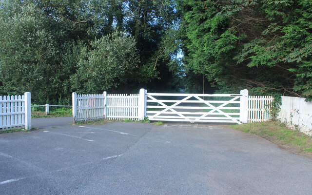
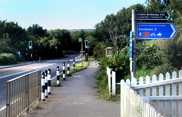
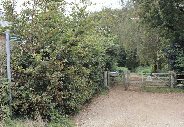
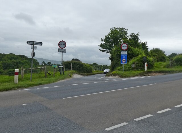
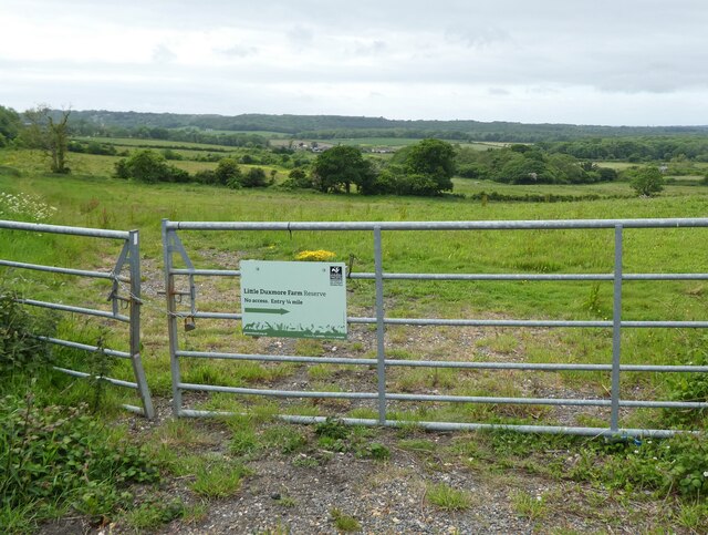
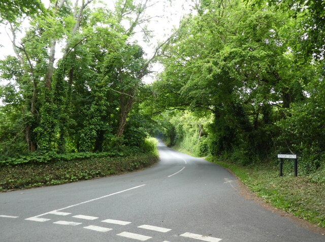
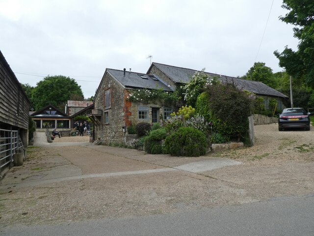
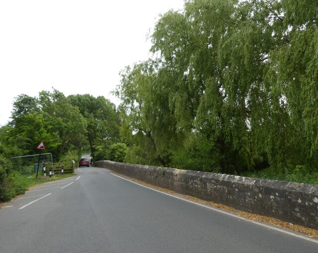
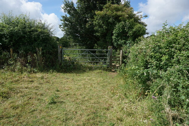
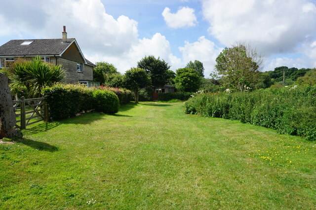
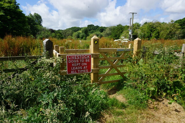
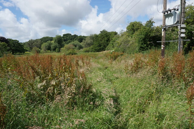
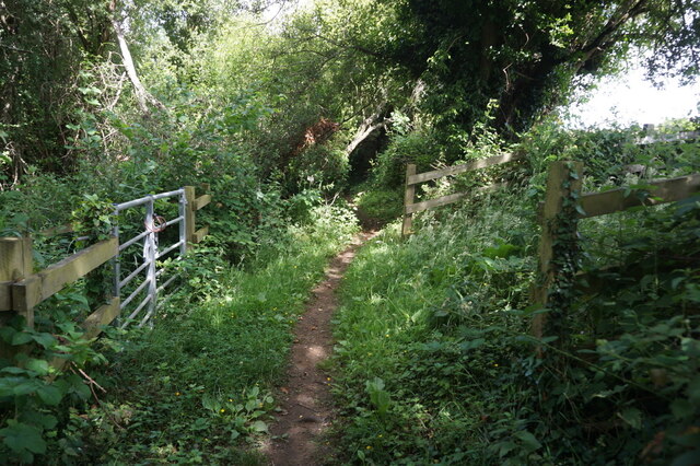
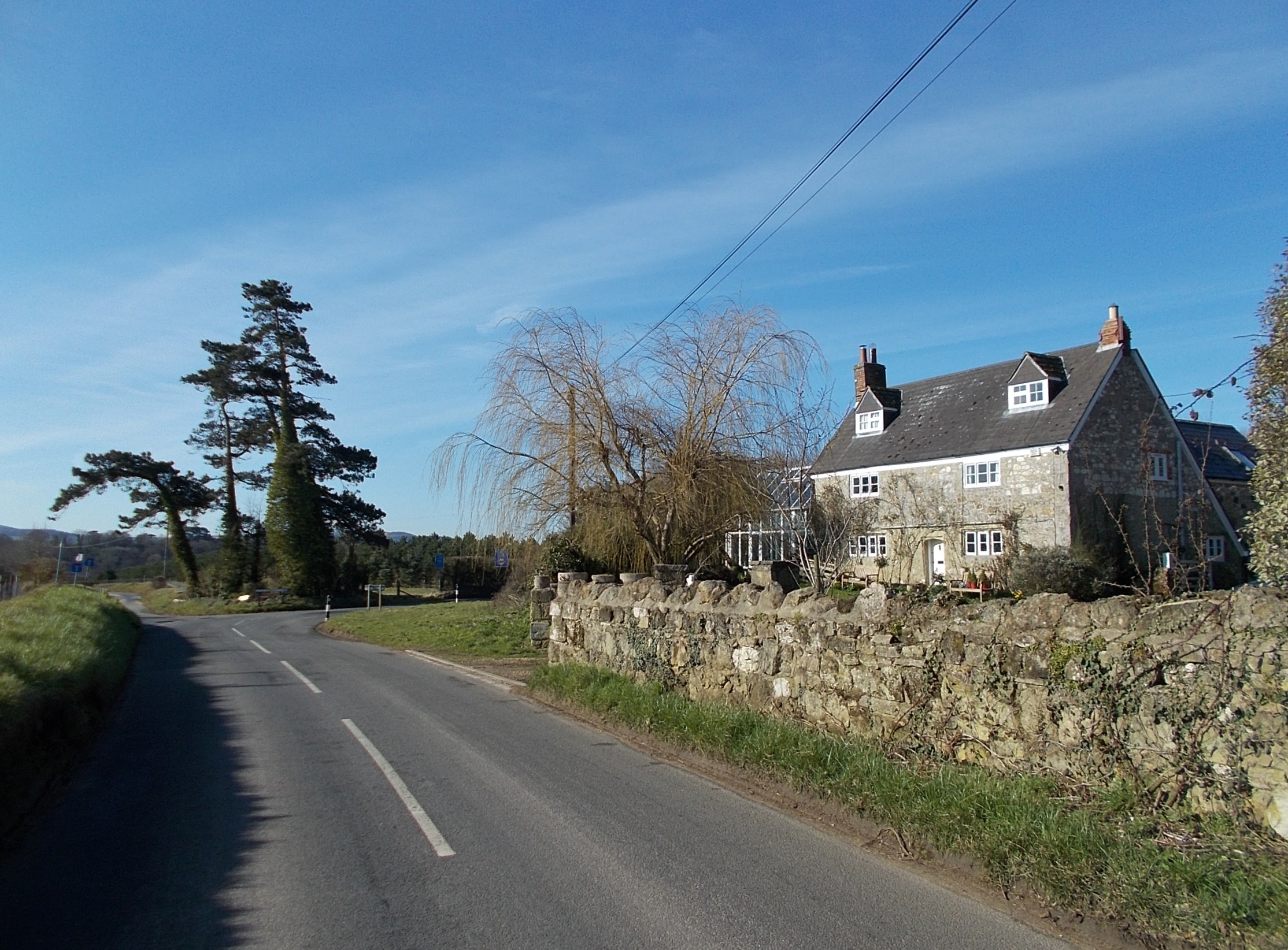
Langbridge Images

Images are sourced within 2km of 50.67074/-1.2104667 or Grid Reference SZ5585. Thanks to Geograph Open Source API. All images are credited.

Access to the Old Railway An old railway line used to cross the road here. It is now a path and cycleway and a small parking area has been made at the crossing.
Access to the Old Railway
An old railway line used to cross the road here. It is now a path and cycleway and a small parking area has been made at the crossing.
Cycleway Crosses the Road A signal controlled road crossing has been put in where the Newport Sandown Cycleway crosses the A3056.
Cycleway Crosses the Road
A signal controlled road crossing has been put in where the Newport Sandown Cycleway crosses the A3056.
Western entrance to Borthwood Copse Off Alverstone Road, via Public Footpath NC40 to Queens Bower half a mile away.
Western entrance to Borthwood Copse
Off Alverstone Road, via Public Footpath NC40 to Queens Bower half a mile away.
Cyclists riding on the Red Squirrel Trail, travelling west Captured during a cycle tour around the Isle of Wight in late May 2021.

The cyclists are using the so-called 'Red Squirrel Trail.'
Cyclists riding on the Red Squirrel Trail, travelling west
Captured during a cycle tour around the Isle of Wight in late May 2021. The cyclists are using the so-called 'Red Squirrel Trail.'
Junction with Downs Road
Little Duxmore Farm Wildlife Reserve
Turning for Newport Shute
The Garlic Farm, near Newchurch
The Shute, Newchurch
The Pointer Inn
The Pointer Inn
Kern Lane towards Alverstone
Chiddle Farm near Alverstone
Path leading to Alverstone
Path at Alverstone
Path at Alverstone
Public right of way at Alverstone
Path enters Newchurch Moors Nature Reserve
Path at Newchurch Moors Nature Reserve
Show me another place!

Langbridge is located at Grid Ref: SZ5585 (Lat: 50.67074, Lng: -1.2104667)

Unitary Authority: Isle of Wight

Police Authority: Hampshire

What 3 Words

///sprint.geologist.starred. Near Newchurch, Isle of Wight

Related Wikis

Newchurch railway station

Newchurch railway station, was an intermediate station situated on the edge of Newchurch village on the line from Newport to Sandown incorporated by the...

All Saints' Church, Newchurch

All Saints' Church, Newchurch is a parish church in the Church of England located in Newchurch, Isle of Wight, England. The church is medieval dating from...

Newchurch, Isle of Wight

Newchurch is a village and civil parish on the Isle of Wight. It is located between Sandown and Newport in the southeast of the island. Anthony Dillington...

Knighton Gorges Manor

Knighton Gorges Manor was one of the grandest manor houses on the Isle of Wight, located in the hamlet of Knighton, near Newchurch. The Elizabethan-Tudor...

Isle of Wight Garlic Festival

The Isle of Wight Garlic Festival is a fundraising event that is held annually on the Isle of Wight to support the island's garlic industry, as well as...

Mersley

Mersley is a farming hamlet on the Isle of Wight. Mersley is in Newchurch Parish, and is adjacent to the village of Newchurch itself. Mersley is home to...

Knighton, Isle of Wight

Knighton is a hamlet near to Newchurch on the Isle of Wight. The name should be pronounced as Kay-nighton to avoid confusion with the larger, homophonic...

Haseley Manor (Isle of Wight)

Haseley Manor is a 14th-century, Grade 2* listed property located in Arreton on the Isle of Wight. The name Haseley is derived from the Saxon Haesel-leah...

Nearby Amenities

Located within 500m of 50.67074,-1.2104667
Source: Locally rectified NPE map
Lat/Long: 50.6700011/-1.2040426
Source: Locally rectified NPE map
Lat/Long: 50.6706199/-1.2055788
Source: Locally rectified NPE map
Lat/Long: 50.670475/-1.2067349
Source: Locally rectified NPE map
Lat/Long: 50.6703139/-1.2075576
Source: Locally rectified NPE map
Lat/Long: 50.6701873/-1.2081457
Source: Locally rectified NPE map
Lat/Long: 50.6698995/-1.2084676
Source: Locally rectified NPE map
Lat/Long: 50.66956/-1.2095606
Source: Locally rectified NPE map
Lat/Long: 50.6692247/-1.2104832
Source: Locally rectified NPE map
Lat/Long: 50.6690727/-1.2117836
Source: Locally rectified NPE map
Lat/Long: 50.6687289/-1.2121719
Source: Locally rectified NPE map
Lat/Long: 50.6684338/-1.2129934
Source: Locally rectified NPE map
Lat/Long: 50.6685842/-1.2133072
Source: Locally rectified NPE map
Lat/Long: 50.6685273/-1.2143099
Source: Locally rectified NPE map
Lat/Long: 50.6681949/-1.2156797
Langbridge
Is In: Newchurch, Isle of Wight, England
Place: hamlet
Lat/Long: 50.6702257/-1.2097371
Bus Stop
Langbridge
Bus: yes
Contact Website: https://www.islandbuses.info/stops/230000004320
Naptan AtcoCode: 230000004320
Naptan Bearing: N
Naptan CommonName: Langbridge
Naptan Indicator: towards Newport
Naptan NaptanCode: iowdjgw
Note: No bus service to Newchurch since austerity cuts. School bus still operates.
Public Transport: platform
Shelter: no
Lat/Long: 50.6700544/-1.2097826
Bus Stop
Langbridge
Bus: yes
Contact Website: https://www.islandbuses.info/stops/230000004330
Naptan AtcoCode: 230000004330
Naptan Bearing: S
Naptan CommonName: Langbridge
Naptan Indicator: towards Shanklin
Naptan NaptanCode: iowdjma
Note: No bus service to Newchurch since austerity cuts. School bus still operates.
Public Transport: platform
Shelter: no
Source: naptan_import
Tactile Paving: no
Lat/Long: 50.6699105/-1.2094462
Post Box
Collection Plate: CP5
Collection Times: Mo-Fr 15:00; Sa 11:30
Operator: Royal Mail
Operator Wikidata: Q638098
Post Box Type: wall
Ref: PO36 54
Ref GB Uprn: 10015402562
Royal Cypher: VR
Royal Cypher Wikidata: Q33102356
Website: https://www.royalmail.com/services-near-you/postbox/langbridge-po36-0na/0000PO3654
Lat/Long: 50.6703384/-1.2099775
Bench
Lat/Long: 50.6674486/-1.2064659
Bench
Lat/Long: 50.6673976/-1.2064776
Traffic Calming: choker
Lat/Long: 50.6714954/-1.2106673
Barrier: bollard
Lat/Long: 50.6700363/-1.2095945
Bus Stop
Knighton Lane
Bus: yes
Designation: Southern Vectis Downs Breezer
Naptan AtcoCode: 230000053
Naptan NaptanCode: iowmdap
Note: No bus service to through Newchurch area since austerity cuts. School bus still operates.
Public Transport: platform
Shelter: no
Source: local knowledge
Lat/Long: 50.6747013/-1.2107793
Yates Brewery
Addr City: Newchurch
Addr Country: GB
Addr Place: Langbridge Business Centre
Addr Postcode: PO36 0NP
Addr Unit: 4
Email: info@yates-brewery.co.uk
Phone: +44 1983 867878
Shop: alcohol
Website: https://yates-brewery.co.uk/
Lat/Long: 50.6706085/-1.2114015
Bartletts Service Station
Addr City: Newchurch
Addr Country: GB
Addr Place: Langbridge Business Centre
Addr Postcode: PO36 0NP
Addr Unit: 5
Contact Email: info@bartlettsiow.co.uk
Contact Phone: +44 1983 865338
Contact Website: https://www.bartlettsservicestation.co.uk/
Shop: car_repair
Lat/Long: 50.6699965/-1.2120506
Addr City: Newchurch
Addr Country: GB
Addr Housename: Rosemary Cottage
Addr Postcode: PO36 0NP
Addr Street: The Shute
Check Date: 2016-02-15
Disused Tourism: guest_house
Old Name: Rosemary Cottage
Source: survey
Source Addr: FHRS Open Data
Lat/Long: 50.6700668/-1.2102024
Toilets
Access: customers
Fee: no
Operator: Pedallers
Survey Date: 2019-11-07
Toilets Disposal: flush
Toilets Position: seated
Unisex: yes
Lat/Long: 50.6698534/-1.2108055
Bench
Lat/Long: 50.6673415/-1.2064844
Information: board
Tourism: information
Lat/Long: 50.6701678/-1.2087535
Bicycle: yes
Information: guidepost
Tourism: information
Lat/Long: 50.670059/-1.2096253
Man Made: monitoring_station
Monitoring Water Level: yes
Lat/Long: 50.6701108/-1.2084009
Man Made: water_works
Lat/Long: 50.6701389/-1.2085095
Defibrillator
Defibrillator Location: On Bridleway by Peadllers gate
Emergency: defibrillator
Indoor: no
Opening Hours: 24/7
Ref GB The Circuit: CBCD44E7-DFAC-4BA9-B161-AD3D00B7156B
Wheelchair: yes
Lat/Long: 50.6697004/-1.2106837
Bicycle Repair Station
Operator: Pedallers
Lat/Long: 50.6698194/-1.2107089
Give Way
Direction: backward
Lat/Long: 50.6745422/-1.2108738
Give Way
Direction: forward
Lat/Long: 50.6745597/-1.2109904
Give Way
Direction: forward
Lat/Long: 50.6744442/-1.2109653
Newchurch
Historic Railway: station
Railway: site
Wikidata: Q7017587
Wikipedia: en:Newchurch railway station
Lat/Long: 50.6699826/-1.2093299
The data included in this document is from www.openstreetmap.org. The data is made available under ODbL.

Have you been to Langbridge?

Leave your review of Langbridge below (or comments, questions and feedback).