Duddon Bridge

Settlement in Cumberland Copeland

England

Duddon Bridge

A595 at Buckman Brow
A595 at Buckman Brow Credit: Colin Pyle

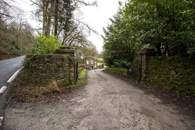
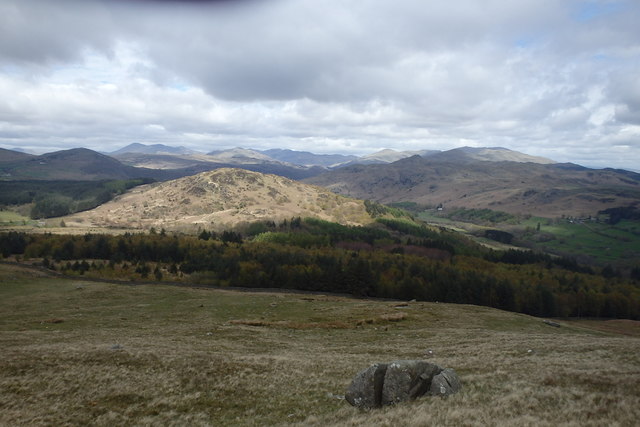
Duddon Bridge is a small village located in the county of Cumberland in northwest England. Situated in the picturesque Duddon Valley, it lies within the Lake District National Park, renowned for its stunning natural beauty and captivating landscapes.

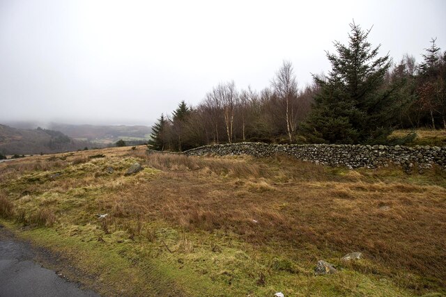
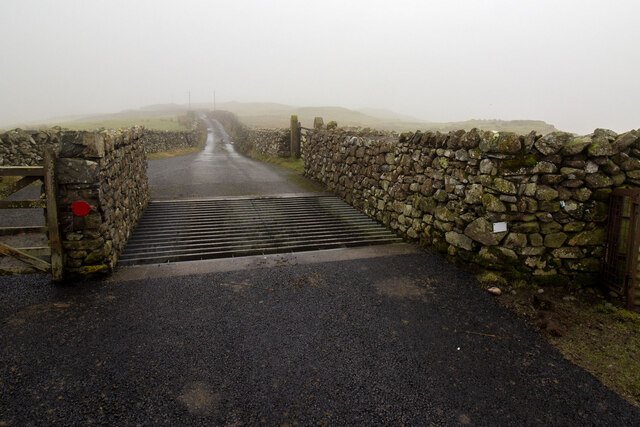
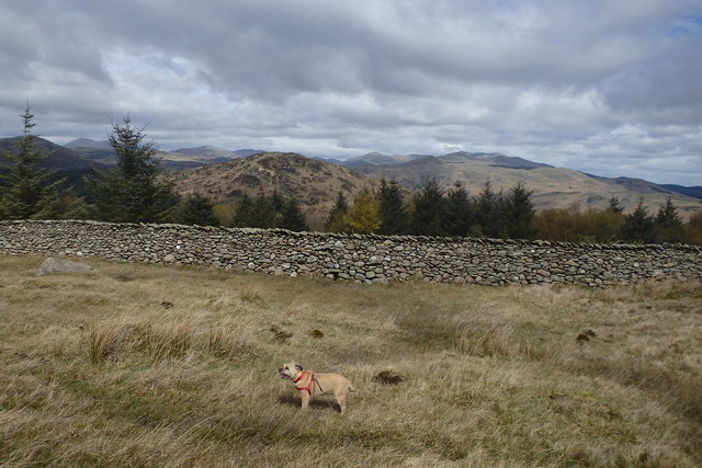
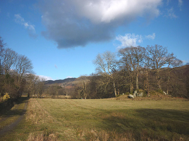
The village is named after the Duddon River, which flows through its heart. Duddon Bridge is characterized by its tranquil and idyllic setting, surrounded by rolling hills, lush meadows, and dense woodlands. It is a popular destination for nature enthusiasts, hikers, and those seeking a peaceful retreat away from the bustling cities.

The village itself is small, with a handful of houses, a local pub, and a post office. The traditional stone buildings and quaint architecture give Duddon Bridge a charming and timeless feel. Visitors can enjoy leisurely walks along the riverbank, where they can spot various bird species and admire the rich flora and fauna of the region.

The nearby Duddon Sands, a designated Site of Special Scientific Interest, provide a haven for wildlife, including seals and a variety of bird species. The area is also known for its rich literary history, as it inspired renowned poets such as William Wordsworth and Alfred Tennyson.

Duddon Bridge offers a peaceful and picturesque escape from the hustle and bustle of modern life, allowing visitors to immerse themselves in the natural beauty of the Lake District and experience the tranquility of rural England.

If you have any feedback on the listing, please let us know in the comments section below.

Duddon Bridge Images

Images are sourced within 2km of 54.282624/-3.238759 or Grid Reference SD1988. Thanks to Geograph Open Source API. All images are credited.

A595 at Buckman Brow
Entrance to Duddon Hall
Smallthwaite Plantation
Cattle Grid
Cattle Grid
Recent felling on Coops Wood has opened up a view of the bridge over the Duddon
Ordnance Survey Cut Mark This OS cut mark can be found on a large rock to the west of the track.
Ordnance Survey Cut Mark
This OS cut mark can be found on a large rock to the west of the track.
Sawmill at Beckfoot On The edge of the hamlet of Beckfoot on the delightful Ulpha Park path.
Sawmill at Beckfoot
On The edge of the hamlet of Beckfoot on the delightful Ulpha Park path.
Bluebells, Furnace Wood In deepest Duddon
Bluebells, Furnace Wood
In deepest Duddon
Dry Tarn, Barrow The drought has dried up this tiny tarn. I suspect it is the same as <a href="https://www.geograph.org.uk/photo/3741119">SD1888 : Small tarn on Barrow</a>
Dry Tarn, Barrow
The drought has dried up this tiny tarn. I suspect it is the same as SD1888 : Small tarn on Barrow
Ascending Barrow Looking towards the Duddon estuary
Ascending Barrow
Looking towards the Duddon estuary
On Barrow A rarely frequented top
On Barrow
A rarely frequented top
On Barrow Looks like the top
On Barrow
Looks like the top
Descending Barrow Penn, our next objective in shot
Descending Barrow
Penn, our next objective in shot
Forest Edge Under Barrow
Forest Edge
Under Barrow
Duddon iron furnace (disused) A charcoal burning blast furnace dating from 1736. Isaac Wilkinson's cylinder bellows powered by water were first applied here. It is a Scheduled Ancient Monument but is temporarily closed to the public while structural issues are considered. There is a good view from the bridleway that goes past the site.
Duddon iron furnace (disused)
A charcoal burning blast furnace dating from 1736. Isaac Wilkinson's cylinder bellows powered by water were first applied here. It is a Scheduled Ancient Monument but is temporarily closed to the public while structural issues are considered. There is a good view from the bridleway that goes past the site.
Pasture by the Duddon The track from Beckfoot skirts this on the west with the Duddon flowing to Rawfold Bridge on the right.
Pasture by the Duddon
The track from Beckfoot skirts this on the west with the Duddon flowing to Rawfold Bridge on the right.
Pivot type mark This Pivot style mark can be found on the SE parapet of the bridge.
Pivot type mark
This Pivot style mark can be found on the SE parapet of the bridge.
Ordnance Survey Rivet This OS rivet can be found on a boulder NE side of the road. It marks a point 128.778m above mean sea level.
Ordnance Survey Rivet
This OS rivet can be found on a boulder NE side of the road. It marks a point 128.778m above mean sea level.
Show me another place!

Duddon Bridge is located at Grid Ref: SD1988 (Lat: 54.282624, Lng: -3.238759)

Administrative County: Cumbria

District: Copeland

Police Authority: Cumbria

What 3 Words

///radically.risen.discloses. Near Millom, Cumbria

Related Wikis

Duddon furnace

The Duddon furnace (Grid Reference SD 197883) is a surviving charcoal-fuelled blast furnace near Broughton-in-Furness in Cumbria. It is on the west side...

Duddon Bridge

Duddon Bridge is a hamlet in Cumbria, England. == References ==

Bank End

Bank End is a village in Cumbria, England. == External links == Media related to Bank End, South Lakeland at Wikimedia Commons

St Mary Magdalene's Church, Broughton-in-Furness

St Mary Magdalene's Church is in Broughton-in-Furness, Cumbria, England. It is an active Anglican parish church in the deanery of Furness, the archdeaconry...

Broughton-in-Furness

Broughton in Furness is a market town in the civil parish of Broughton West in the Westmorland and Furness district of Cumbria, England. It had a population...

Duddon Valley

The Duddon Valley is a valley in the southern Lake District National Park in Cumbria, England. The River Duddon flows through the valley, rising in the...

Broughton-in-Furness railway station

Broughton-in-Furness railway station served the market town of Broughton-in-Furness, in Lancashire, England (now in Cumbria). It was on the branch line...

Eccle Riggs

Eccle Riggs is a country house located on Eccle Riggs, a ridge of land about 0.75 miles (1.2 km) to the south of Broughton-in-Furness, Cumbria, England...

Nearby Amenities

Located within 500m of 54.282624,-3.238759
Traffic Signals
Lat/Long: 54.2828017/-3.232028
Duddon Furnace
Historic: ruins
Wikidata: Q5311681
Wikipedia: en:Duddon furnace
Lat/Long: 54.284023/-3.2354975
Ford: yes
Lat/Long: 54.2816216/-3.2379286
Material: wood
Power: pole
Lat/Long: 54.2825993/-3.2314767
Material: wood
Power: pole
Lat/Long: 54.2823581/-3.2329197
Material: wood
Power: pole
Lat/Long: 54.282142/-3.2340087
Material: wood
Power: pole
Lat/Long: 54.2815/-3.2335956
Material: wood
Power: pole
Lat/Long: 54.2807327/-3.2330645
Material: wood
Power: pole
Lat/Long: 54.2799842/-3.2325388
Material: wood
Power: pole
Lat/Long: 54.2825742/-3.234808
Material: wood
Power: pole
Lat/Long: 54.2825536/-3.2350957
Material: wood
Power: pole
Lat/Long: 54.2826206/-3.235613
Parking
Parking: street_side
Lat/Long: 54.2783651/-3.2368316
Duddon Bridge
Place: hamlet
Lat/Long: 54.2827289/-3.2341533
Pikewell
Place: locality
Lat/Long: 54.2802801/-3.2368107
Abandoned: yes
Man Made: mineshaft
Lat/Long: 54.2789695/-3.238382
Dower House
Addr City: High Duddon
Addr Postcode: LA20 6ET
Phone: +44 1229 716279
Tourism: guest_house
Website: http://www.dowerhouse.biz/
Lat/Long: 54.2824833/-3.2365484
Generator Method: photovoltaic
Generator Output Electricity: yes
Generator Source: solar
Generator Type: solar_photovoltaic_panel
Location: roof
Power: generator
Lat/Long: 54.2827927/-3.2363661
Generator Method: photovoltaic
Generator Output Electricity: yes
Generator Source: solar
Generator Type: solar_photovoltaic_panel
Location: roof
Power: generator
Lat/Long: 54.2827457/-3.2362964
The data included in this document is from www.openstreetmap.org. The data is made available under ODbL.

Have you been to Duddon Bridge?

Leave your review of Duddon Bridge below (or comments, questions and feedback).