Coronation Wood
Wood, Forest in Leicestershire Charnwood
England
Coronation Wood
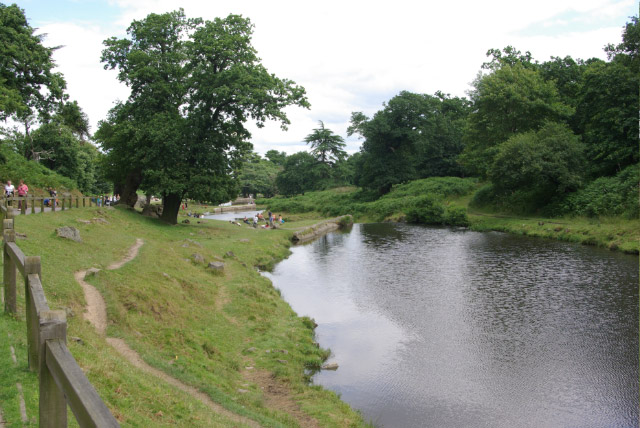
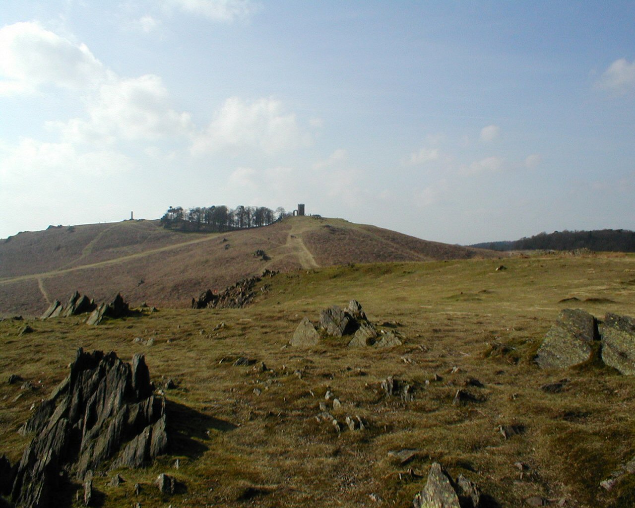
Coronation Wood is a picturesque woodland located in Leicestershire, England. Situated near the village of Burbage, the wood covers an area of approximately 12 hectares. It is a popular destination for nature enthusiasts and locals seeking tranquility and outdoor recreation.
The wood is mostly composed of native broadleaf trees, including oak, ash, and birch, which create a diverse and vibrant ecosystem. The varying heights and densities of the trees provide an enchanting canopy that filters sunlight, creating an atmospheric and serene environment.
Coronation Wood offers a network of footpaths and trails, allowing visitors to explore its beauty on foot or by bicycle. The trails wind through the woods, passing by small streams and clearings, offering glimpses of wildlife such as deer, foxes, and a variety of bird species. This makes it a great spot for birdwatching and wildlife photography.
The wood is well-maintained, with picnic areas and benches strategically placed for visitors to rest and enjoy the surroundings. It also features educational signs that provide information on the local flora and fauna, enhancing the experience for nature enthusiasts and those interested in learning more about the wood's biodiversity.
Coronation Wood is managed by the local council, which ensures its preservation and protection. The wood is open to the public year-round, providing a peaceful retreat for individuals and families to connect with nature and enjoy the beauty of Leicestershire's woodlands.
If you have any feedback on the listing, please let us know in the comments section below.
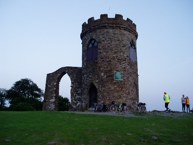
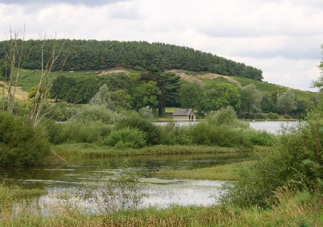
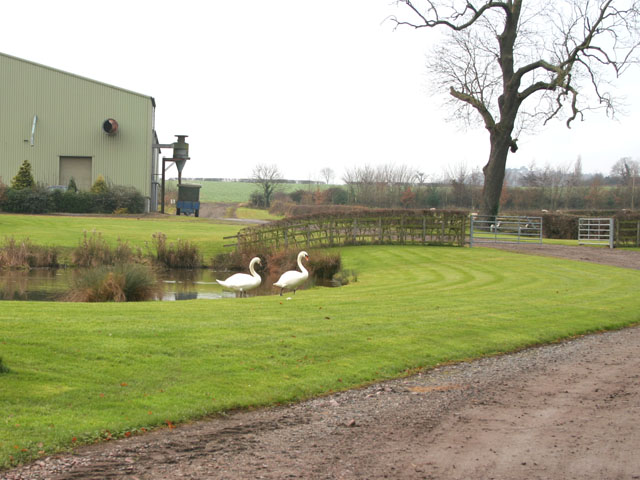
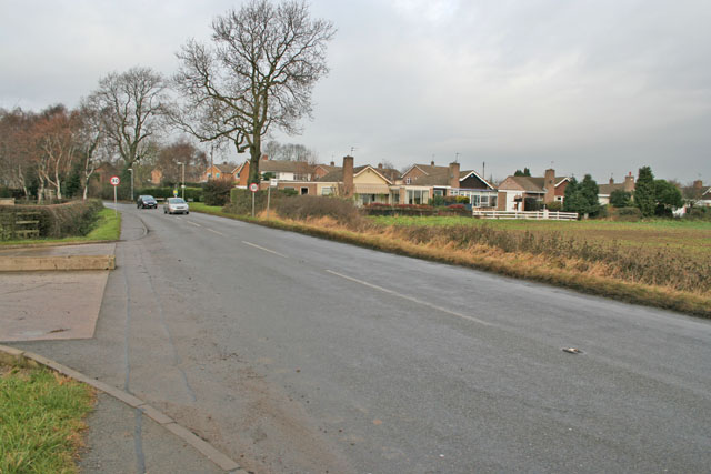
Coronation Wood Images
Images are sourced within 2km of 52.691608/-1.2012473 or Grid Reference SK5410. Thanks to Geograph Open Source API. All images are credited.


Coronation Wood is located at Grid Ref: SK5410 (Lat: 52.691608, Lng: -1.2012473)
Administrative County: Leicestershire
District: Charnwood
Police Authority: Leicestershire
What 3 Words
///bride.feels.recent. Near Anstey, Leicestershire
Nearby Locations
Related Wikis
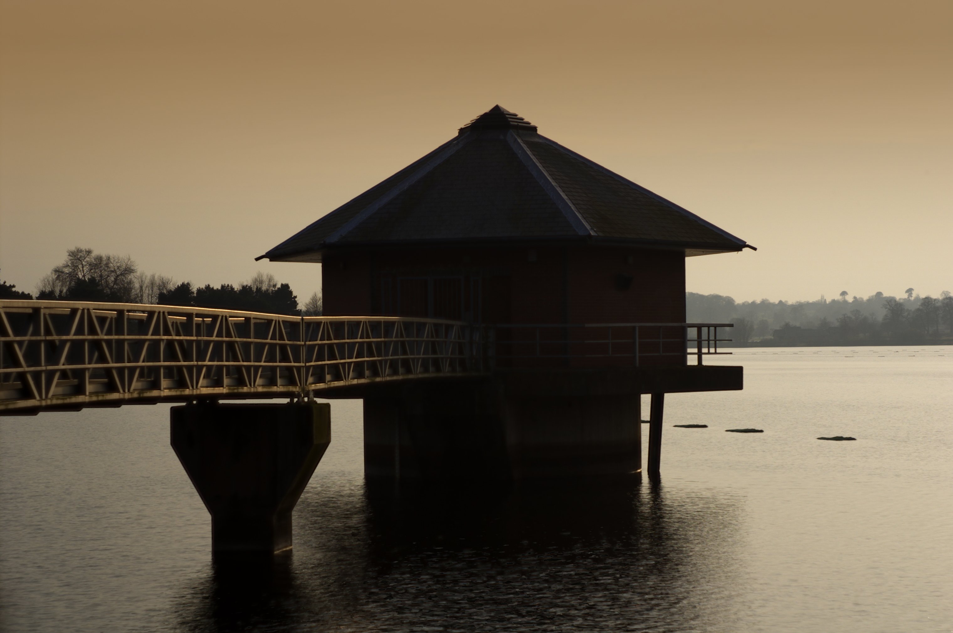
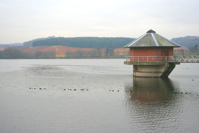
Cropston Reservoir
Cropston Reservoir (originally known as Bradgate Reservoir) lies in Charnwood Forest in Leicestershire, England. The dam and associated water works are...

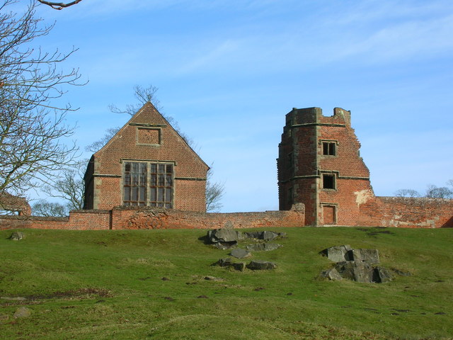
Bradgate House, Bradgate Park
Bradgate House is a 16th-century ruin in Bradgate Park, Leicestershire, England. Edward Grey's son Sir John Grey of Groby married Elizabeth Woodville,...

Charnwood (UK Parliament constituency)
Charnwood is a constituency in Leicestershire represented in the House of Commons of the UK Parliament since 2015 by Edward Argar, a Conservative.Further...
Bradgate Park and Cropston Reservoir
Bradgate Park and Cropston Reservoir is a 399.7-hectare (988-acre) geological Site of Special Scientific Interest north–west of Leicester. It is also a...

Bradgate Electoral Division
Bradgate Electoral Division is a County Council electoral division in Leicestershire, England, taking its name from Bradgate Park which is at the centre...
Bradgate Park
Bradgate Park () is a public park in Charnwood Forest, in Leicestershire, England, northwest of Leicester. It covers 850 acres (340 hectares). The park...
Cropston
Cropston is a village and former civil parish, now in the parish of Thurcaston and Cropston, part of the Borough of Charnwood in Leicestershire, England...

Swithland Wood and The Brand
Swithland Wood and The Brand is a 87.9 hectares (217 acres) biological Site of Special Scientific Interest south of Woodhouse Eaves in Leicestershire....
Nearby Amenities
Located within 500m of 52.691608,-1.2012473Have you been to Coronation Wood?
Leave your review of Coronation Wood below (or comments, questions and feedback).