Wood Closes
Wood, Forest in Yorkshire Hambleton
England
Wood Closes
Wood Closes is a charming and picturesque village located in the county of Yorkshire, England. Nestled amidst lush greenery and rolling hills, this idyllic settlement is part of the larger Wood Forest area. The village is renowned for its natural beauty and tranquil atmosphere, making it a popular destination for nature enthusiasts and those seeking a peaceful retreat.
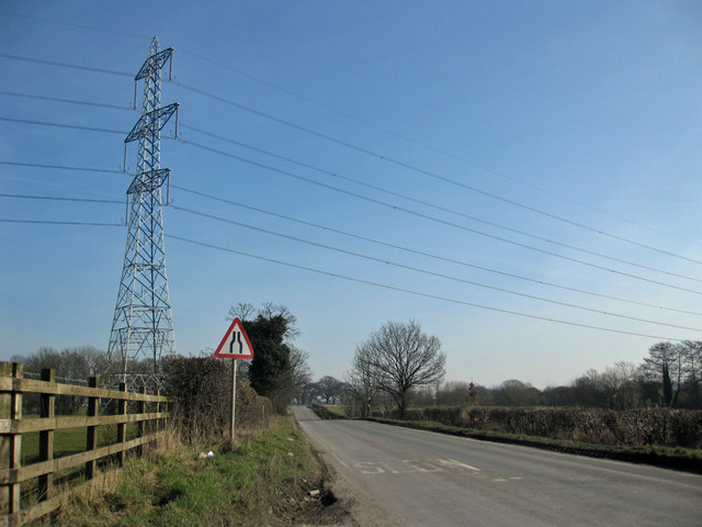
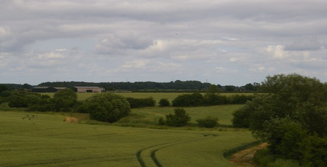
One of the defining features of Wood Closes is its abundance of woodlands, which surround the village on all sides. These ancient forests are home to a diverse range of flora and fauna, providing ample opportunities for outdoor activities such as hiking, birdwatching, and exploring nature trails. The woodlands also serve as a habitat for various woodland creatures, including deer, foxes, and owls.
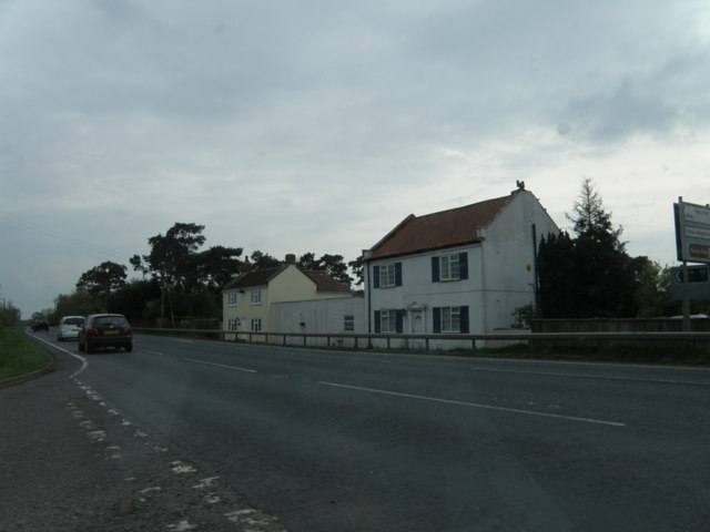
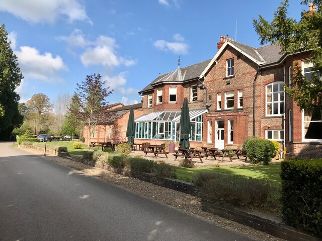
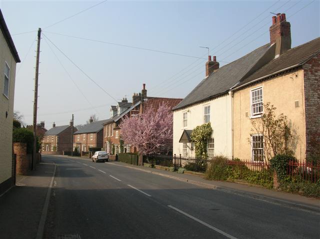
The village itself exudes a traditional and quintessentially English charm, with its quaint cottages and well-preserved historic buildings. The local community is close-knit and friendly, welcoming visitors with warm hospitality. Wood Closes boasts a small but thriving local economy, with a handful of independent shops, cafes, and pubs lining its streets. These establishments offer a range of locally sourced products and traditional Yorkshire delicacies.
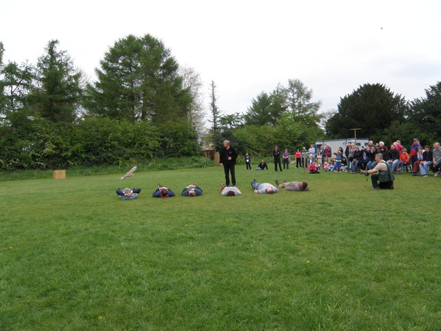
Throughout the year, Wood Closes hosts a number of events and festivals that celebrate its rich cultural heritage and natural surroundings. These include traditional fairs, music festivals, and art exhibitions, which attract both locals and tourists alike.
In summary, Wood Closes is a delightful village in Yorkshire, England, offering a peaceful and scenic retreat for visitors. With its stunning woodlands, charming architecture, and vibrant local community, it is an ideal destination for those seeking a taste of rural English life.
If you have any feedback on the listing, please let us know in the comments section below.
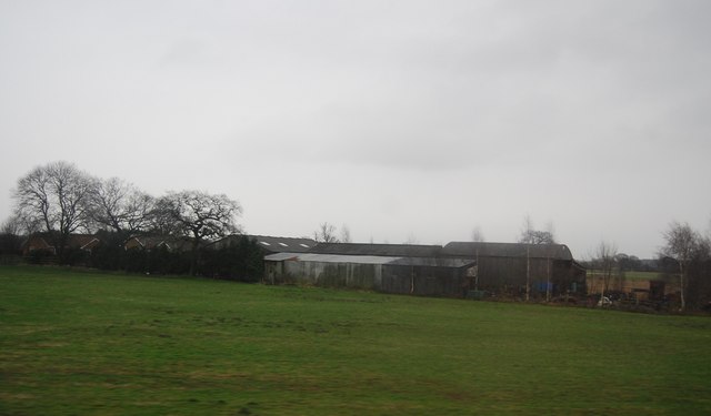
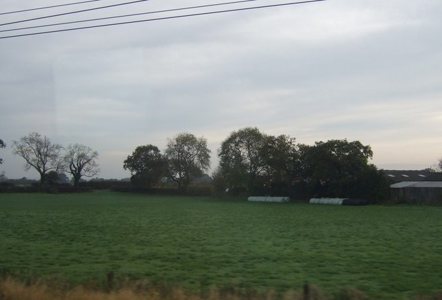
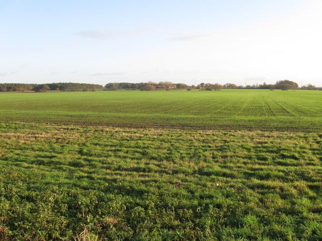
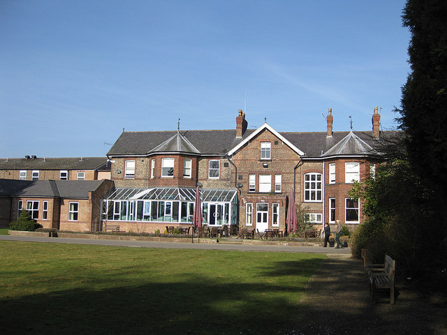
Wood Closes Images
Images are sourced within 2km of 54.070451/-1.1773185 or Grid Reference SE5364. Thanks to Geograph Open Source API. All images are credited.


Wood Closes is located at Grid Ref: SE5364 (Lat: 54.070451, Lng: -1.1773185)
Division: North Riding
Administrative County: North Yorkshire
District: Hambleton
Police Authority: North Yorkshire
What 3 Words
///star.craftsman.sunbeam. Near Linton upon Ouse, North Yorkshire
Nearby Locations
Related Wikis

Raskelf
Raskelf is a village and civil parish in North Yorkshire, England. The electoral roll has a population of around 400 measured at 519 in the 2011 census...

RAF Shipton
Royal Air Force Shipton (more commonly known as RAF Shipton) was a First World War era airfield located north of the village of Shipton-by-Beningbrough...

Tollerton railway station
Tollerton railway station served the village of Tollerton, Yorkshire, England from 1841 to 1965 on the East Coast Main Line. == History == The station...
Tollerton, North Yorkshire
Tollerton is a village and civil parish in the Hambleton District of North Yorkshire, England. Tollerton is situated close to both the A19 and the River...
Nearby Amenities
Located within 500m of 54.070451,-1.1773185Have you been to Wood Closes?
Leave your review of Wood Closes below (or comments, questions and feedback).