Graves Wood

Wood, Forest in Nottinghamshire Bassetlaw

England

Graves Wood

Langwith Mill House and Langwith Mill Langwith Mill House is listed <span class="nowrap"><a title="https://historicengland.org.uk/listing/the-list/list-entry/1224043" rel="nofollow ugc noopener" href="https://historicengland.org.uk/listing/the-list/list-entry/1224043">Link</a><img style="margin-left:2px;" alt="External link" title="External link - shift click to open in new window" src="https://s1.geograph.org.uk/img/external.png" width="10" height="10"/></span> but Langwith Mill which dates from about 1780 isn't. It was a water powered cotton spinning mill.
Langwith Mill House and Langwith Mill Credit: Jonathan Thacker

Graves Wood is a picturesque forest located in the county of Nottinghamshire, England. Covering an area of approximately 100 acres, it is renowned for its natural beauty and tranquil atmosphere. The wood is situated near the town of Ollerton, just a few miles north of Sherwood Forest.

The woodland is predominantly made up of broadleaf trees, including oak, birch, and beech, creating a dense and diverse canopy. This rich variety of tree species provides a haven for wildlife, making Graves Wood a popular destination for nature enthusiasts and birdwatchers. The forest is home to numerous species of birds, such as woodpeckers, owls, and nuthatches, as well as small mammals like squirrels and rabbits.

The wood is crisscrossed with a network of well-maintained footpaths, allowing visitors to explore its enchanting trails and discover hidden gems along the way. There are also several designated picnic areas and benches, providing a perfect spot for visitors to enjoy a packed lunch amidst the peaceful surroundings.

Graves Wood offers a range of recreational activities, including walking, jogging, and cycling. The well-marked trails cater to all fitness levels, from leisurely strolls to more challenging hikes. It is advisable to wear appropriate footwear and bring insect repellent when visiting the wood, especially during the warmer months.

Managed by the local council, Graves Wood aims to preserve its natural beauty and protect its wildlife. The forest is open to the public throughout the year, free of charge, and is a wonderful place to escape the hustle and bustle of everyday life and immerse oneself in the tranquility of nature.

If you have any feedback on the listing, please let us know in the comments section below.
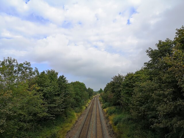
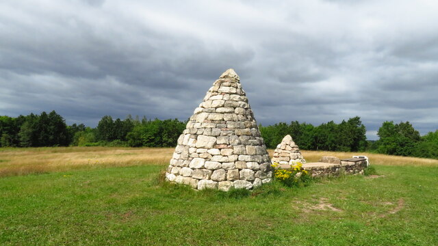
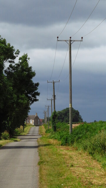
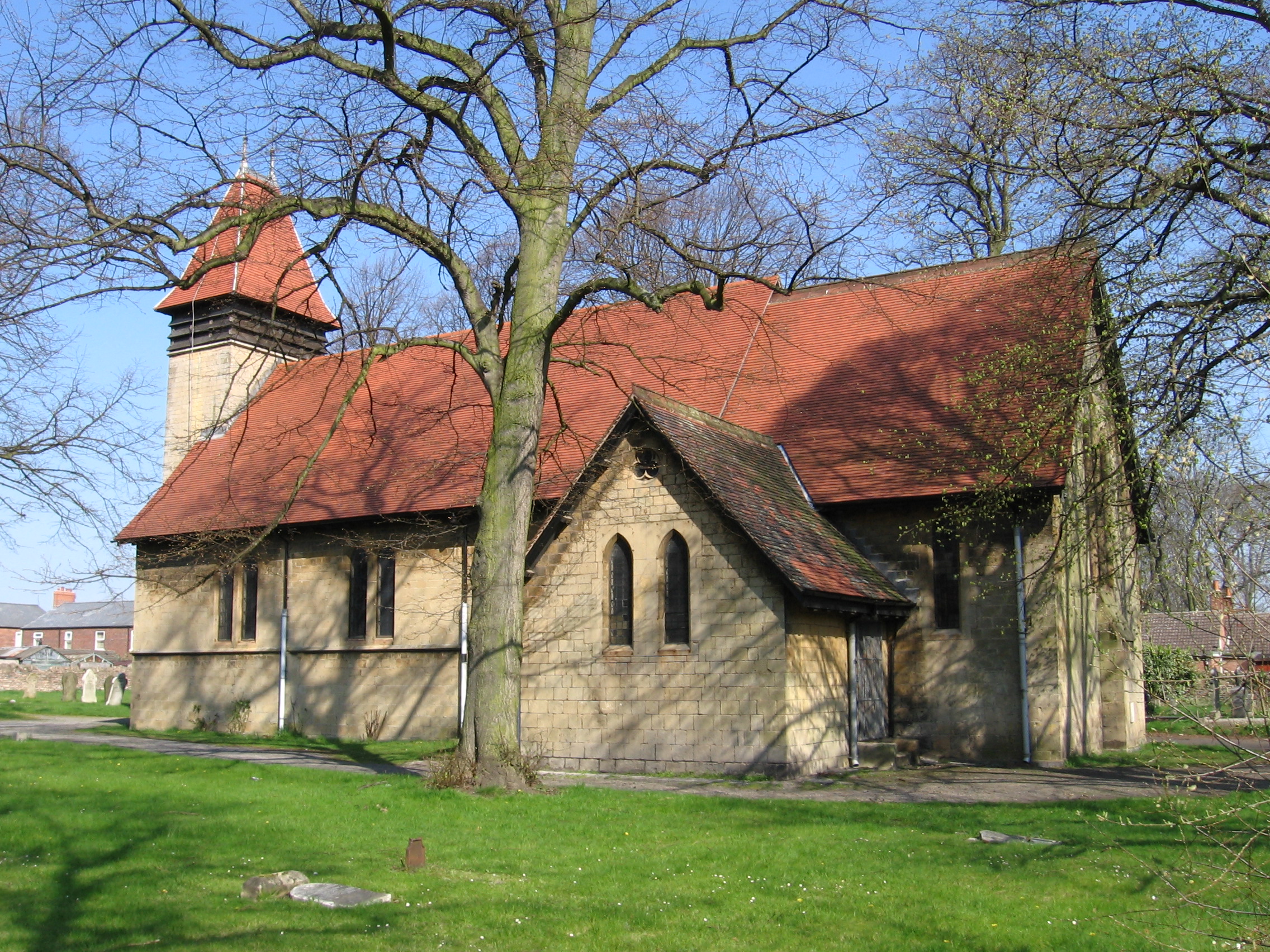
Graves Wood Images

Images are sourced within 2km of 53.241208/-1.1989816 or Grid Reference SK5371. Thanks to Geograph Open Source API. All images are credited.

Langwith Mill House and Langwith Mill Langwith Mill House is listed <span class="nowrap"><a title="https://historicengland.org.uk/listing/the-list/list-entry/1224043" rel="nofollow ugc noopener" href="https://historicengland.org.uk/listing/the-list/list-entry/1224043">Link</a><img style="margin-left:2px;" alt="External link" title="External link - shift click to open in new window" src="https://s1.geograph.org.uk/img/external.png" width="10" height="10"/></span> but Langwith Mill which dates from about 1780 isn't. It was a water powered cotton spinning mill.
Langwith Mill House and Langwith Mill
Langwith Mill House is listed LinkExternal link but Langwith Mill which dates from about 1780 isn't. It was a water powered cotton spinning mill.
The River Poulter at Nether Langwith The River Poulter for much of its length was regulated to provide power for several water mills. Here, looking upstream, it is divide into two channels. The war memorial stands on the spit of land between them.
The River Poulter at Nether Langwith
The River Poulter for much of its length was regulated to provide power for several water mills. Here, looking upstream, it is divide into two channels. The war memorial stands on the spit of land between them.
Robin Hood Line near Creswell Taken from bridge near Sewage works
Robin Hood Line near Creswell
Taken from bridge near Sewage works
Path junction near Frithwood Farm Just south of Creswell
Path junction near Frithwood Farm
Just south of Creswell
View across farmland to Whaley Common
Farmland north of Poulter Country Park
Alpaca Farm near Whaley
Copper Beeches east of Nether Langwith The building provides accommodation for fishermen and shooters.
Copper Beeches east of Nether Langwith
The building provides accommodation for fishermen and shooters.
'Top of the World' sculpture, Poulter Country Park, Langwith It is now possible to walk between Mansfield Woodhouse Station and Creswell Station using a series of good gravel paths suitable for all seasons and crossing landscaped former colliery sites.
'Top of the World' sculpture, Poulter Country Park, Langwith
It is now possible to walk between Mansfield Woodhouse Station and Creswell Station using a series of good gravel paths suitable for all seasons and crossing landscaped former colliery sites.
View north along railway path, south of Creswell It is now possible to walk between Mansfield Woodhouse Station and Creswell Station using a series of good gravel paths suitable for all seasons and crossing landscaped former colliery sites.
View north along railway path, south of Creswell
It is now possible to walk between Mansfield Woodhouse Station and Creswell Station using a series of good gravel paths suitable for all seasons and crossing landscaped former colliery sites.
View west along Mag Lane, Langwith
Horse-riding in Poulter Country Park A country park on land formerly linked to Langwith Colliery. Everyone we saw here was either on a horse or walking a dog.
Horse-riding in Poulter Country Park
A country park on land formerly linked to Langwith Colliery. Everyone we saw here was either on a horse or walking a dog.
Langwith-Whaley Thorns Station This appears a very quiet station on the Robin Hood Line. It formerly serviced Langwith Colliery before the Beeching cuts.
Langwith-Whaley Thorns Station
This appears a very quiet station on the Robin Hood Line. It formerly serviced Langwith Colliery before the Beeching cuts.
Track in Poulter Country Park This is also part of the Archaeological Way. Just occasionally you see a bit of coal spoil, but otherwise you would not guess the former use of the land which was attached to Langwith Colliery.
Track in Poulter Country Park
This is also part of the Archaeological Way. Just occasionally you see a bit of coal spoil, but otherwise you would not guess the former use of the land which was attached to Langwith Colliery.
The Archaeological Way Part of the path follows former railways linked to Langwith Colliery, but it is now a quiet path on the edge of Poulter Country Park.
The Archaeological Way
Part of the path follows former railways linked to Langwith Colliery, but it is now a quiet path on the edge of Poulter Country Park.
Pond and path in Poulter Country Park Possibly one of the quieter sectors of the park.
Pond and path in Poulter Country Park
Possibly one of the quieter sectors of the park.
Path in Poulter Country Park Pleasant autumn colours on what used to be a colliery tip.
Path in Poulter Country Park
Pleasant autumn colours on what used to be a colliery tip.
Car park in Poulter Country Park This car park is at the western extremity of the country park.
Car park in Poulter Country Park
This car park is at the western extremity of the country park.
Show me another place!

Graves Wood is located at Grid Ref: SK5371 (Lat: 53.241208, Lng: -1.1989816)

Administrative County: Nottinghamshire

District: Bassetlaw

Police Authority: Nottinghamshire

What 3 Words

///vine.exits.silently. Near Upper Langwith, Derbyshire

Nearby Locations

Graves Wood

Related Wikis

Whaley Thorns

Whaley Thorns is a former colliery village in the Bolsover district of Derbyshire, England, close to the Nottinghamshire border. Whaley Thorns lies just...

Langwith-Whaley Thorns railway station

Langwith-Whaley Thorns railway station is in Derbyshire, England. The station is on the Robin Hood Line 22ΒΌ miles (36 km) north of Nottingham towards Worksop...

Langwith Colliery railway station

Langwith Colliery railway station served the miners of the colliery in Whaley Thorns, Derbyshire, England, from 1894 to 1945 on the Mansfield to Worksop...

Holbeck, Nottinghamshire

Holbeck is a village and former civil parish, now in the parish of Norton, Cuckney, Holbeck and Welbeck, in the Bassetlaw district, in the county of Nottinghamshire...

Holbeck Woodhouse

Holbeck Woodhouse is a hamlet in the civil parish of Holbeck, in the Bassetlaw district, in the county of Nottinghamshire, England. It is located 6 miles...

St Winifred's Church, Holbeck

St Winifred's Chapel, Holbeck is a Grade II listed parish church and former private chapel in the Church of England in Holbeck, Nottinghamshire, south...

Whaley

Whaley is a small village in Derbyshire, England, located one mile from Whaley Thorns, 1+1⁄2 miles from Elmton, 1+1⁄2 miles from Langwith and 2+1⁄2 miles...

Langwith railway station

Langwith is a former railway station in the Langwith Maltings area of Langwith in north eastern Derbyshire, England. == Context == The station was built...

Nearby Amenities

Located within 500m of 53.241208,-1.1989816
Bench
Ele: 87.8454590
Lat/Long: 53.2435066/-1.2028581
Ele: 79.6744385
Lat/Long: 53.2405377/-1.1969531
Ele: 77
Lat/Long: 53.2422502/-1.1964518
Barrier: cycle_barrier
Lat/Long: 53.2377345/-1.2025155
Parking
Description: Patch of gravel at side of road
Lat/Long: 53.2438179/-1.1931459
The data included in this document is from www.openstreetmap.org. The data is made available under ODbL.

Have you been to Graves Wood?

Leave your review of Graves Wood below (or comments, questions and feedback).