Abbey Lathe Wood

Wood, Forest in Yorkshire

England

Abbey Lathe Wood

Roche Abbey Remains The highest remains are the transepts of the abbey church
Roche Abbey Remains Credit: Kevin Waterhouse

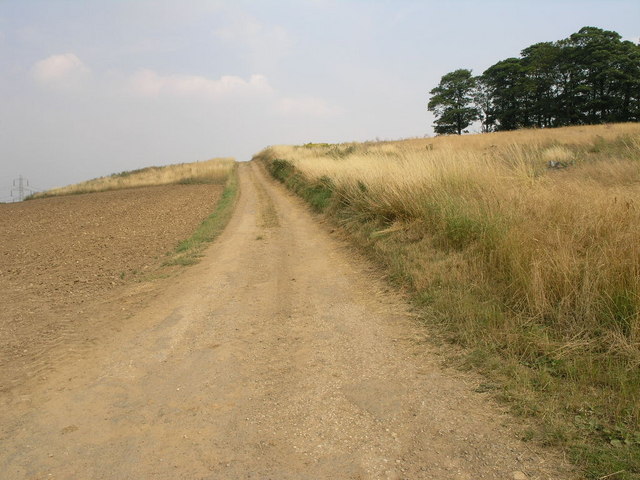
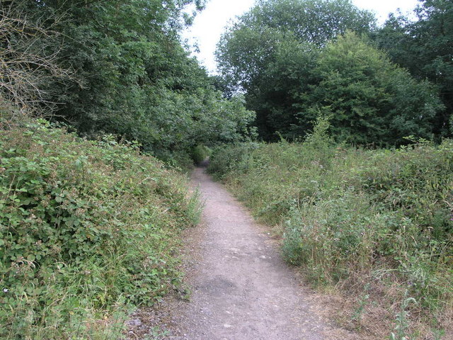
Abbey Lathe Wood is a picturesque forest located in Yorkshire, England. Spanning an area of approximately 200 acres, this woodland is known for its ancient trees and diverse wildlife. It is a popular destination for nature enthusiasts, hikers, and photographers.

The forest is named after the nearby Abbey Lathe village, which adds to its historical charm. The wood is predominantly made up of oak, beech, and birch trees, creating a dense canopy that provides shade and shelter for various flora and fauna. The age of some of the trees dates back centuries, giving the forest a sense of timelessness and enchantment.

Visitors to Abbey Lathe Wood can explore a network of well-maintained walking trails that wind through the forest, offering breathtaking views of the surrounding countryside. The area is home to an abundance of wildlife, including deer, foxes, badgers, and a wide variety of bird species. Nature lovers can enjoy birdwatching, as the wood attracts both resident and migratory birds throughout the year.

The forest is also a haven for plant enthusiasts, with a rich array of wildflowers and native plants thriving in its understory. Bluebells, primroses, and wood anemones carpet the forest floor during the spring months, creating a stunning display of color.

Abbey Lathe Wood provides a peaceful and serene escape from the bustling city life. With its natural beauty and tranquil ambiance, it is a must-visit destination for anyone seeking a connection with nature in the heart of Yorkshire.

If you have any feedback on the listing, please let us know in the comments section below.

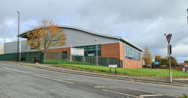
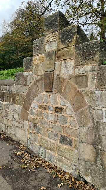
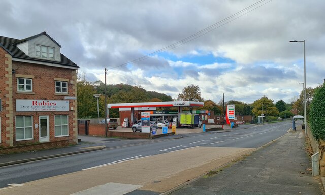
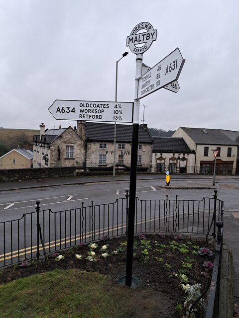
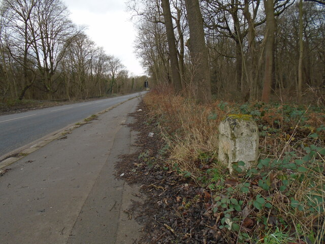
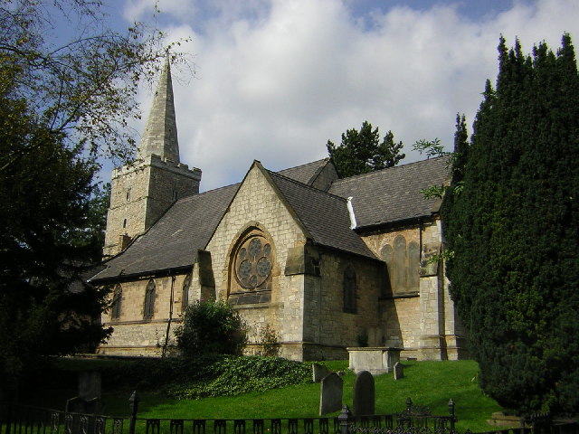
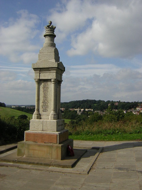
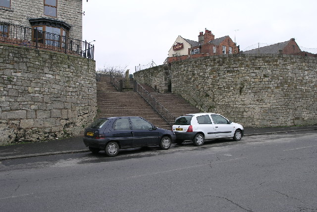
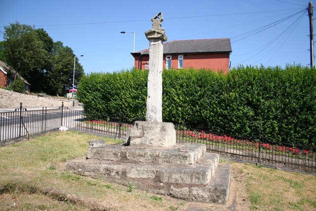
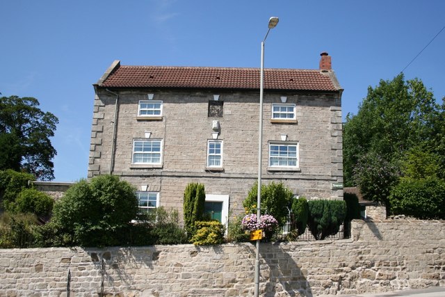
Abbey Lathe Wood Images

Images are sourced within 2km of 53.409918/-1.1958315 or Grid Reference SK5390. Thanks to Geograph Open Source API. All images are credited.

Roche Abbey Remains The highest remains are the transepts of the abbey church
Roche Abbey Remains
The highest remains are the transepts of the abbey church
Slade Hooton Railway Bridge The bridge carries a freight railway over Hooton Lane
Slade Hooton Railway Bridge
The bridge carries a freight railway over Hooton Lane
Ruins of Roche Abbey The remains of the Cistercian abbey are less well known that other similar sites, but worth a visit. The ruins are a scheduled monument (list entry 1019059) and part of the grade II* listed Sandbeck Park (1001161).
Ruins of Roche Abbey
The remains of the Cistercian abbey are less well known that other similar sites, but worth a visit. The ruins are a scheduled monument (list entry 1019059) and part of the grade II* listed Sandbeck Park (1001161).
Drainage at Roche Abbey It was common for medieval monasteries to be built by a stream (in this instance the Firbeck Dike) to provide both water supply and drainage. The ruins are a scheduled monument (list entry 1019059) and part of the grade II* listed Sandbeck Park (1001161).
Drainage at Roche Abbey
It was common for medieval monasteries to be built by a stream (in this instance the Firbeck Dike) to provide both water supply and drainage. The ruins are a scheduled monument (list entry 1019059) and part of the grade II* listed Sandbeck Park (1001161).
Maltby Leisure Centre
Memorial to R R who died in 1886 Probably the position of a horse trough or public drinking fountain, but who was R R? 

It seems to be on the site of a natural spring.
Memorial to R R who died in 1886
Probably the position of a horse trough or public drinking fountain, but who was R R? It seems to be on the site of a natural spring.
Essar Filling station, Rotherham Road, Maltby Signs of the times, Rubies Dog Grooming Lounge and a Nisalocal shop in the garage.
Essar Filling station, Rotherham Road, Maltby
Signs of the times, Rubies Dog Grooming Lounge and a Nisalocal shop in the garage.
Direction Sign – Signpost in Maltby Located at the west tip of a railed off grassed enclosure also containing cross YSRO_MAL, east of the junction of the A631 Rotherham Road and A634 Blyth Road. Maltby parish.

3 arms and annulus and bar finial. The Rotherham and Sheffield arm was broken off some time before October 2008 but has been replaced. The whole fingerpost has been missing since at least September 2016, but has been restored and was put back in place on 7 December 2023.

Milestone Society National ID: YW_SK5292
Direction Sign – Signpost in Maltby
Located at the west tip of a railed off grassed enclosure also containing cross YSRO_MAL, east of the junction of the A631 Rotherham Road and A634 Blyth Road. Maltby parish. 3 arms and annulus and bar finial. The Rotherham and Sheffield arm was broken off some time before October 2008 but has been replaced. The whole fingerpost has been missing since at least September 2016, but has been restored and was put back in place on 7 December 2023. Milestone Society National ID: YW_SK5292
Old milestone Looking towards Maltby this shows the position of the turnpike milestone on the A631, near the entrance to the Industrial Estate that has been developed on the old Maltby Colliery site.   The West Riding CC milestone is on the opposite side of the road.
Old milestone
Looking towards Maltby this shows the position of the turnpike milestone on the A631, near the entrance to the Industrial Estate that has been developed on the old Maltby Colliery site. The West Riding CC milestone is on the opposite side of the road.
St.Bartholomew's church, Maltby A rather bland nave and chancel of 1859 but a Norman tower with a perpendicular top
St.Bartholomew's church, Maltby
A rather bland nave and chancel of 1859 but a Norman tower with a perpendicular top
Maltby War Memorial War Memorial at Wood Lee overlooking Maltby
Maltby War Memorial
War Memorial at Wood Lee overlooking Maltby
Steps These wide steps join High Street to Blyth Road in Maltby.  Halfway is the remains of what looks like a stone cross.
Steps
These wide steps join High Street to Blyth Road in Maltby. Halfway is the remains of what looks like a stone cross.
Track to the Horizon This track is used to access the fields on the other side of the hill.
Track to the Horizon
This track is used to access the fields on the other side of the hill.
Mind that Fence As the sign says at Maltby sewage works, 'Health and Safety is no accident', perhaps the loose temporary fence panel could learn a lesson from this.
Mind that Fence
As the sign says at Maltby sewage works, 'Health and Safety is no accident', perhaps the loose temporary fence panel could learn a lesson from this.
Roche Abbey SSSI This valley near to Roche Abbey is designated a Site of Special Scientific Interest.
Roche Abbey SSSI
This valley near to Roche Abbey is designated a Site of Special Scientific Interest.
Memorial to William Crossley The inscription reads ...“In memory of William Henry Crossley who was fatally injured near this spot on St.Paul’s Day 1900” Erected by his widow and children.
Memorial to William Crossley
The inscription reads ...“In memory of William Henry Crossley who was fatally injured near this spot on St.Paul’s Day 1900” Erected by his widow and children.
Maltby Cross Medieval cross at the junction of High Street and Blyth Road
Maltby Cross
Medieval cross at the junction of High Street and Blyth Road
Maltby Handsome 18th century house in the heart of old Maltby facing the cross
Maltby
Handsome 18th century house in the heart of old Maltby facing the cross
Show me another place!

Abbey Lathe Wood is located at Grid Ref: SK5390 (Lat: 53.409918, Lng: -1.1958315)

Division: West Riding

Unitary Authority: Rotherham

Police Authority: South Yorkshire

What 3 Words

///conspired.curtail.backtrack. Near Maltby, South Yorkshire

Nearby Locations

Abbey Lathe Wood Nor Wood

Related Wikis

Maltby Main F.C.

Maltby Main Football Club is a football club based in Maltby, Rotherham, South Yorkshire. They are currently members of the Northern Counties East League...
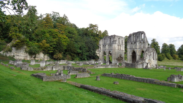
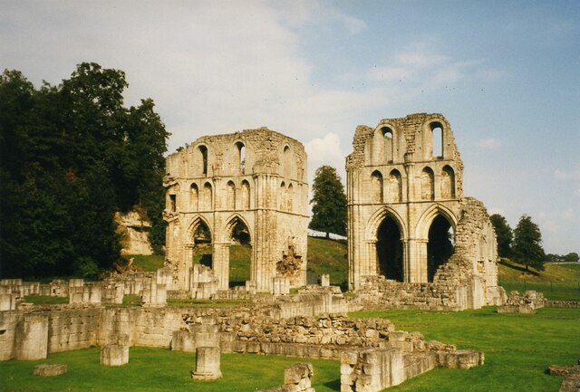
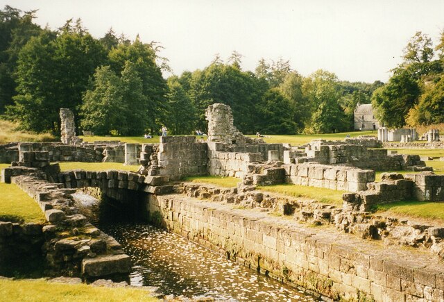
Roche Abbey

Roche Abbey is a now-ruined abbey in the civil parish of Maltby, Rotherham, South Yorkshire, England. It is in the valley of Maltby Dyke, known locally...
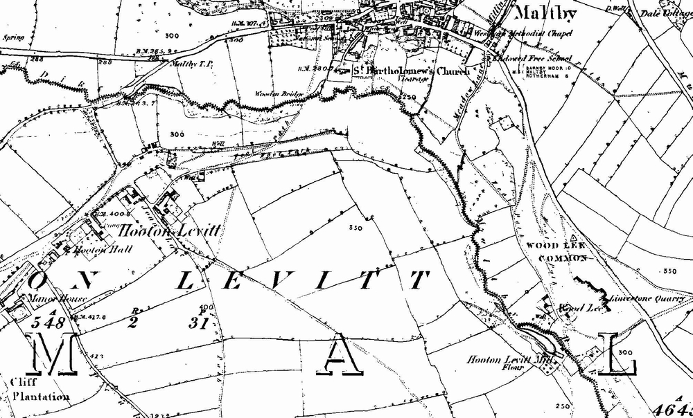
Hooton Levitt

Hooton Levitt (sometimes spelled Hooton Levett) is a village and civil parish in the Metropolitan Borough of Rotherham in South Yorkshire, England; one...

Maltby Academy

Maltby Academy is an academy school in the former mining town of Maltby in South Yorkshire, England. == Admissions == The school has a sixth form. The...

Nearby Amenities

Located within 500m of 53.409918,-1.1958315
Power: tower
Lat/Long: 53.4127866/-1.1945189
Power: tower
Lat/Long: 53.4128037/-1.1998939
Power: pole
Lat/Long: 53.4056162/-1.1978253
Power: pole
Lat/Long: 53.4072061/-1.1967682
Power: pole
Lat/Long: 53.4080285/-1.1951335
Power: pole
Lat/Long: 53.4088014/-1.1937306
Material: metal
Power: tower
Lat/Long: 53.4098912/-1.1914306
Power: pole
Lat/Long: 53.4105615/-1.189485
Design: h-frame
Material: wood
Power: tower
Lat/Long: 53.4132059/-1.1953598
Design: h-frame
Material: wood
Power: tower
Lat/Long: 53.4133675/-1.1967988
Design: h-frame
Material: wood
Power: tower
Lat/Long: 53.4135902/-1.1988446
Design: h-frame
Material: wood
Power: tower
Lat/Long: 53.4138695/-1.1931256
Design: h-frame
Material: wood
Power: tower
Lat/Long: 53.408269/-1.2018878
Design: h-frame
Material: wood
Power: tower
Lat/Long: 53.4087455/-1.2002456
Design: h-frame
Material: wood
Power: tower
Lat/Long: 53.4095041/-1.1992202
Design: h-frame
Material: wood
Power: tower
Lat/Long: 53.410759/-1.1979599
Design: h-frame
Material: wood
Power: tower
Lat/Long: 53.4112917/-1.1962453
Design: h-frame
Material: wood
Power: tower
Lat/Long: 53.4120249/-1.1938737
Design: h-frame
Material: wood
Power: tower
Lat/Long: 53.4125893/-1.1918092
Parking
Parking: layby
Lat/Long: 53.4132092/-1.1923818
Parking
Parking: layby
Lat/Long: 53.4101199/-1.1887885
Power: pole
Lat/Long: 53.4074477/-1.1926979
Power: pole
Lat/Long: 53.4071823/-1.1938258
Power: pole
Lat/Long: 53.406641/-1.1960976
Power: pole
Lat/Long: 53.4059691/-1.1967641
Barrier: stile
Lat/Long: 53.407482/-1.1931206
Power: pole
Lat/Long: 53.4068803/-1.1950934
Power: pole
Lat/Long: 53.4118771/-1.1984021
Power: pole
Lat/Long: 53.4136899/-1.1983841
Power: pole
Lat/Long: 53.4130268/-1.1988191
Power: pole
Lat/Long: 53.4124431/-1.1986104
The data included in this document is from www.openstreetmap.org. The data is made available under ODbL.

Have you been to Abbey Lathe Wood?

Leave your review of Abbey Lathe Wood below (or comments, questions and feedback).