Duck End

Settlement in Bedfordshire

England

Duck End

A6 at Wixams
A6 at Wixams Credit: Colin Pyle

Duck End is a small rural hamlet located in the county of Bedfordshire, England. Situated approximately 4 miles northeast of the town of Bedford, Duck End is nestled among picturesque rolling hills and lush green fields. With a population of only around 100 residents, it offers a peaceful and close-knit community.

The hamlet's name is believed to originate from the presence of a duck pond that existed in the area many years ago. Although the pond no longer exists, the name has endured as a reminder of the hamlet's history.

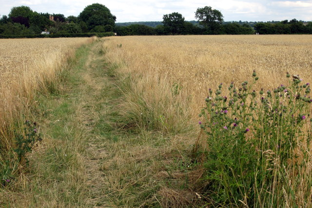
Duck End is primarily a residential area, with a scattering of traditional cottages and houses that add to its quaint charm. The surrounding countryside offers stunning views and ample opportunities for outdoor activities such as hiking, cycling, and horseback riding.

Despite its small size, Duck End benefits from its proximity to nearby amenities. The town of Bedford provides a range of services including shops, supermarkets, schools, and healthcare facilities, all within easy reach. Additionally, the nearby River Great Ouse offers recreational opportunities such as boating and fishing.

Overall, Duck End is a tranquil and picturesque hamlet, perfect for those seeking a peaceful rural lifestyle. Its close-knit community and beautiful surroundings make it an idyllic place to call home.

If you have any feedback on the listing, please let us know in the comments section below.

Duck End Images

Images are sourced within 2km of 52.085025/-0.450762 or Grid Reference TL0644. Thanks to Geograph Open Source API. All images are credited.

A6 at Wixams
A6 at Wixams
A6 southbound near Vicarage Farm
New playpark and distant houses This park is in an area that will be developed with houses but at the time of taking the picture it was strangely located in a scrubland with roads and partially built houses nearby.
New playpark and distant houses
This park is in an area that will be developed with houses but at the time of taking the picture it was strangely located in a scrubland with roads and partially built houses nearby.
Wixams Tree Primary school
Land waiting for building in Wilstead industrial park
Footpath towards Manor Farm
Elms Lane towards Manor Farm
White house on Cotton End Road
Hedge and ditch by a barley field With the Carding sheds beyond
Hedge and ditch by a barley field
With the Carding sheds beyond
John Bunyan Trail towards Elstow
Bridleway towards Wilstead
John Bunyan Trail towards Elstow
Empty field by the bridleway with the Cardington hangars in the distance
Bushes by the drains
Paths cross at the end of Ivy Lane
Path across the field towards Netherwood
Wedge shaped parkland by Carriage Drive
Wheat field by Wilstead Wood
Show me another place!

Duck End is located at Grid Ref: TL0644 (Lat: 52.085025, Lng: -0.450762)

Unitary Authority: Bedford

Police Authority: Bedfordshire

What 3 Words

///admit.stop.below. Near Wilstead, Bedfordshire

Nearby Locations

Duck End

Related Wikis

Wixams Academy

Wixams Academy is a co-educational secondary school and sixth form located in Wixams in the English county of Bedfordshire.The school was constructed by...

Wixams

Wixams is a new town and civil parish located in Bedfordshire, England, which has been under construction since early 2007. It is expected to become the...

ROF Elstow

Royal Ordnance Factory (ROF) Elstow was one of sixteen UK Ministry of Supply, World War II, Filling Factories. It was a medium-sized filling factory,...

Herrings Green

Herrings Green is a hamlet in the civil parish of Cotton End, on the outskirts of Bedford, in the Bedford district, in the ceremonial county of Bedfordshire...

Nearby Amenities

Located within 500m of 52.085025,-0.450762
Pub
The Woolpack
Addr City: Wilstead
Addr Country: GB
Addr Housenumber: 2-4
Addr Postcode: MK45 3HW
Addr Street: Bedford Road
Fhrs Authority: Bedford
Fhrs Id: 1052332
Fhrs Local Authority Id: 127465
Lat/Long: 52.0811531/-0.448865
Duck End
Place: locality
Lat/Long: 52.0856663/-0.4544313
Barrier: kissing_gate
Foot: yes
Lat/Long: 52.0892595/-0.450493
Cafe
Bowling Green Club House
Addr City: Wilstead
Addr Country: GB
Addr Postcode: MK45 3HN
Addr Street: Bedford Road
Fhrs Authority: Bedford
Fhrs Id: 111444
Fhrs Local Authority Id: 40872
Lat/Long: 52.0806236/-0.4517269
Pub
Red Lion
Addr City: Wilstead
Addr Country: GB
Addr Postcode: MK45 3HN
Addr Street: Bedford Road
Fhrs Authority: Bedford
Fhrs Id: 111387
Fhrs Local Authority Id: 40835
Lat/Long: 52.0811132/-0.4495516
Fast Food
Wilstead Chinese Takeawy
Addr City: Wilstead
Addr Country: GB
Addr Housename: Cross Roads Shops
Addr Postcode: MK45 3HJ
Addr Street: Church Road
Addr Unit: 3
Fhrs Authority: Bedford
Fhrs Id: 50261
Fhrs Local Authority Id: 111937
Lat/Long: 52.0808412/-0.4492593
Fast Food
Wilstead Tandoori
Addr City: Wilstead
Addr Country: GB
Addr Housename: Cross Roads Shops
Addr Postcode: MK45 3HJ
Addr Street: Church Road
Addr Unit: 2
Fhrs Authority: Bedford
Fhrs Id: 1230065
Fhrs Local Authority Id: 130615
Lat/Long: 52.0807835/-0.449262
Pharmacy
Wilstead Pharmacy
Addr City: Wilstead
Addr Country: GB
Addr Housename: Cross Roads Shops
Addr Postcode: MK45 3HJ
Addr Street: Church Road
Addr Unit: 1
Fhrs Authority: Bedford
Fhrs Id: 111467
Fhrs Local Authority Id: 40887
Lat/Long: 52.080734/-0.4492646
The data included in this document is from www.openstreetmap.org. The data is made available under ODbL.

Have you been to Duck End?

Leave your review of Duck End below (or comments, questions and feedback).