Duck End

Settlement in Bedfordshire

England

Duck End

Stevington Belts Bluebell woods near the Great Ouse, at their best on a preternaturally warm late April afternoon.
Stevington Belts Credit: Tiger

Duck End is a small village located in the county of Bedfordshire, England. Situated approximately 10 miles northeast of Bedford, it is nestled within a picturesque rural landscape. The village is characterized by its quaint charm, with a population of around 200 residents.

Duck End boasts a rich history, with evidence of human habitation dating back to the Roman period. Over the centuries, it has remained a predominantly agricultural community, with farming playing a central role in its economy. The village is surrounded by fertile fields and rolling hills, providing a serene and idyllic setting.

The heart of Duck End is its village square, which features a handful of historic buildings. The St. Mary's Church, dating back to the 12th century, stands proudly in the square, showcasing stunning medieval architecture. Nearby, the local pub, The Duck's Inn, is a popular gathering spot for both residents and visitors, offering traditional British fare and a warm, welcoming atmosphere.

The village is also known for its annual Duck End Festival, held in the summer. This lively event brings the community together for a day of live music, local food and drink, and various activities for all ages. It serves as a celebration of Duck End's vibrant community spirit and provides an opportunity for locals and visitors to connect.

Overall, Duck End offers a peaceful retreat from the hustle and bustle of city life, with its scenic countryside, historic landmarks, and close-knit community. It is a place where residents can enjoy the beauty of nature, embrace the village's heritage, and experience a true sense of belonging.

If you have any feedback on the listing, please let us know in the comments section below.
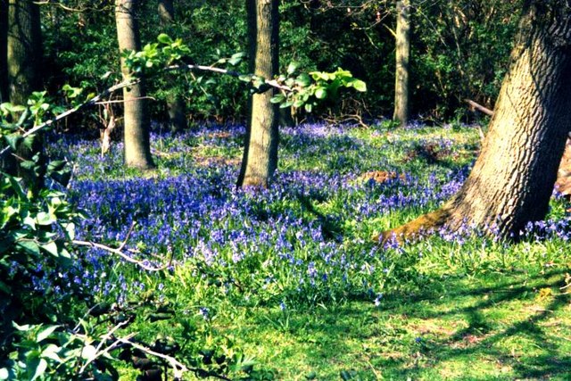
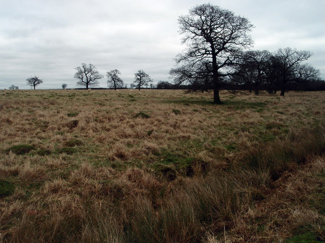
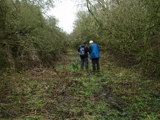
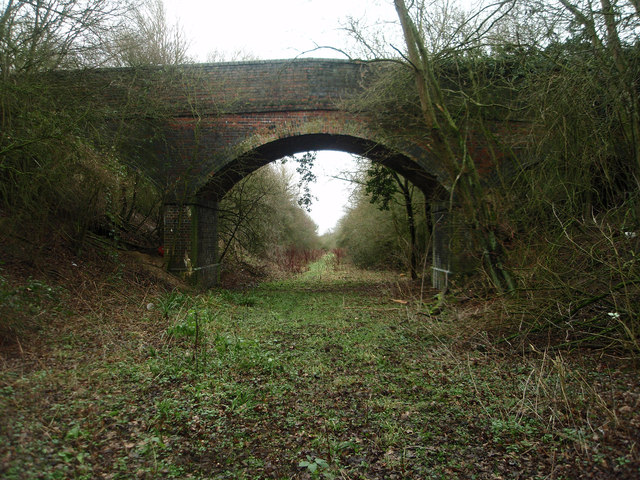
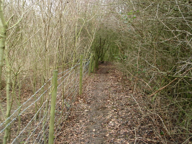
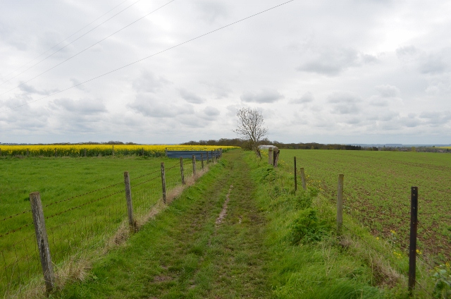
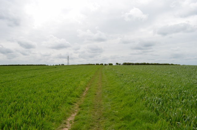
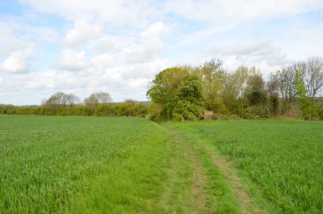
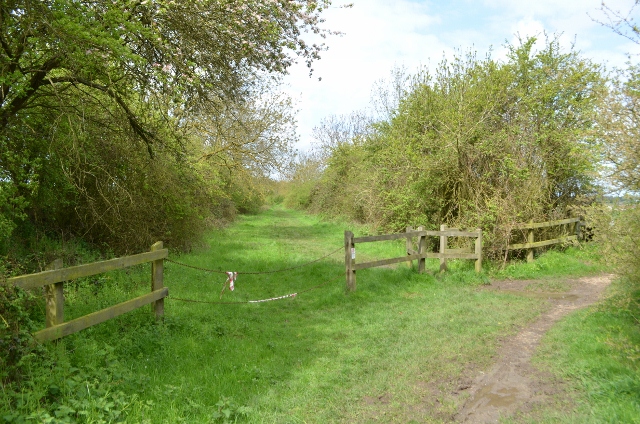
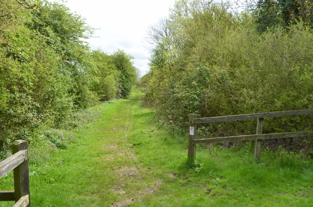
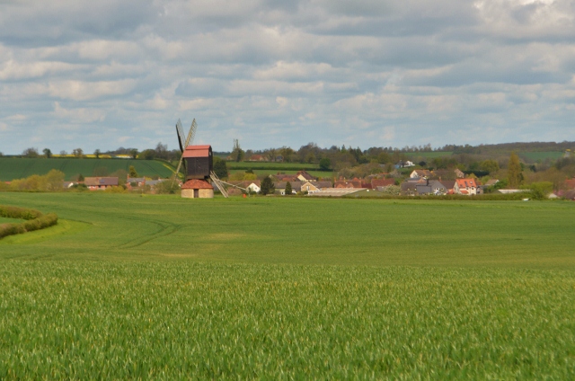
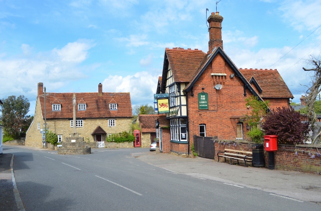
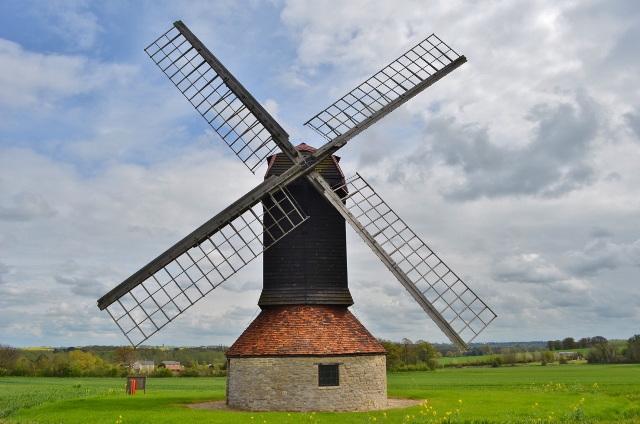
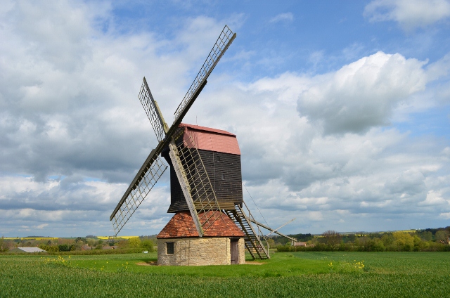
Duck End Images

Images are sourced within 2km of 52.164651/-0.561313 or Grid Reference SP9852. Thanks to Geograph Open Source API. All images are credited.

Stevington Belts Bluebell woods near the Great Ouse, at their best on a preternaturally warm late April afternoon.
Stevington Belts
Bluebell woods near the Great Ouse, at their best on a preternaturally warm late April afternoon.
Autumn layby Layby on A428 (Northampton Road) looking west towards the junction with the lanes that lead off north towards Stevington and south towards Stagsden.
Autumn layby
Layby on A428 (Northampton Road) looking west towards the junction with the lanes that lead off north towards Stevington and south towards Stagsden.
Old pasture land Large ant hills suggest that this field has not been under the plough for many years if at all. Usually described as rough grazing.
Old pasture land
Large ant hills suggest that this field has not been under the plough for many years if at all. Usually described as rough grazing.
Ant hills in pasture land Rough grazing near Turvey.
Ant hills in pasture land
Rough grazing near Turvey.
Grazing land and bridleway near Turvey
Former Northampton - Bedford railway line Walking along the footpath that follows the former railway line. A <span class="nowrap"><a title="http://turvey.homestead.com/railways.html" rel="nofollow ugc noopener" href="http://turvey.homestead.com/railways.html">Link</a><img style="margin-left:2px;" alt="External link" title="External link - shift click to open in new window" src="https://s1.geograph.org.uk/img/external.png" width="10" height="10"/></span> detailing some history of the railway near Turvey.
Former Northampton - Bedford railway line
Walking along the footpath that follows the former railway line. A LinkExternal link detailing some history of the railway near Turvey.
Farm and field access bridge over the old Bedford - Northampton railway line The footpath ends this side of the bridge and is very tricky to ascend out of the cutting.
Farm and field access bridge over the old Bedford - Northampton railway line
The footpath ends this side of the bridge and is very tricky to ascend out of the cutting.
Footpath near the railway line at Turvey Despite appearing to be overgrown work is going on to open out the footpath.
Footpath near the railway line at Turvey
Despite appearing to be overgrown work is going on to open out the footpath.
John Bunyan trail Leaving Bromham, over the hill towards Stevington
John Bunyan trail
Leaving Bromham, over the hill towards Stevington
John Bunyan trail Leaving Bromham, over the hill towards Stevington
John Bunyan trail
Leaving Bromham, over the hill towards Stevington
John Bunyan trail Looking towards Bromham, behind me is the small village of Stevington.
John Bunyan trail
Looking towards Bromham, behind me is the small village of Stevington.
Former Railway Line The ex Bedford to Northampton line crosses here, this is a footpath. The bricks are the former pig sty for Skylark cottage which is a burnt out shell.
Former Railway Line
The ex Bedford to Northampton line crosses here, this is a footpath. The bricks are the former pig sty for Skylark cottage which is a burnt out shell.
Former Railway Line Bedford to Northampton line closed in the mid 1960s under Beeching cuts.
Former Railway Line
Bedford to Northampton line closed in the mid 1960s under Beeching cuts.
Former Railway Line Bedford to Northampton line closed in the mid 1960s under Beeching cuts.
Former Railway Line
Bedford to Northampton line closed in the mid 1960s under Beeching cuts.
Stevington Windmill A post mill with four common cloth type sails, the last mill to use this ancient technology commercially. The building was built in 1770 and restored in 1921,1958 and 2004. All the internal machinery is intact, inside is one set of stones with a governor and iron tentering beam. There is no faintail, this is a very simple machine. Once called on a survey 'useless'. It was used mostly for grinding cattle feed until 1939 before purchased by Bedford Borough Council as part of the County's contribution to the Festival of Britain.
It is sometimes used, for example mills open weekend. Access can be gained via a key from the Royal George in the village.
Stevington Windmill
A post mill with four common cloth type sails, the last mill to use this ancient technology commercially. The building was built in 1770 and restored in 1921,1958 and 2004. All the internal machinery is intact, inside is one set of stones with a governor and iron tentering beam. There is no faintail, this is a very simple machine. Once called on a survey 'useless'. It was used mostly for grinding cattle feed until 1939 before purchased by Bedford Borough Council as part of the County's contribution to the Festival of Britain. It is sometimes used, for example mills open weekend. Access can be gained via a key from the Royal George in the village.
Stevington village centre Little has changed in 6/7 years <a href="https://www.geograph.org.uk/photo/88066">SP9853 : Stevington village centre</a>

The great Domesday survey of 1086 recorded Stevington (Stiuentone) as one of the richest parishes in the County. The cross was probably erected by Hugh II, Bishop of Lincoln, between 1207 and 1227. It may originally have stood at the Hospice.
The pub is for let, the Royal George is around the corner.
Stevington village centre
Little has changed in 6/7 years SP9853 : Stevington village centre The great Domesday survey of 1086 recorded Stevington (Stiuentone) as one of the richest parishes in the County. The cross was probably erected by Hugh II, Bishop of Lincoln, between 1207 and 1227. It may originally have stood at the Hospice. The pub is for let, the Royal George is around the corner.
Stevington Windmill The four common sails are not very common these days as they required a lot of work. Its very dated technology compared to patent sails.
Stevington Windmill
The four common sails are not very common these days as they required a lot of work. Its very dated technology compared to patent sails.
Stevington Windmill The postmill on an otherwise overcast cloudy day. This year the farm hasn't planted oil seed rape.
Stevington Windmill
The postmill on an otherwise overcast cloudy day. This year the farm hasn't planted oil seed rape.
Show me another place!

Duck End is located at Grid Ref: SP9852 (Lat: 52.164651, Lng: -0.561313)

Unitary Authority: Bedford

Police Authority: Bedfordshire

What 3 Words

///remotes.agreeable.daydreams. Near Stevington, Bedfordshire

Nearby Locations

Duck End Stevington

Related Wikis

West End, Bedfordshire

West End is a hamlet located in the Borough of Bedford in Bedfordshire, England. The settlement is close to Carlton, Pavenham and Stevington. West End...

Stevington

Stevington is a village and civil parish in the Borough of Bedford in northern Bedfordshire, England. It is on the River Great Ouse four to five miles...

Church of St Mary, Stevington

Church of St Mary is a Grade I listed church in Stevington, Bedfordshire, England. It became a listed building on 13 July 1964. It is the Anglican parish...

Stevington Marsh

Stevington Marsh is a 7.5-hectare (19-acre) biological Site of Special Scientific Interest in Pavenham in Bedfordshire. It was notified in 1987 under Section...

Nearby Amenities

Located within 500m of 52.164651,-0.561313
Barrier: kissing_gate
Foot: yes
Lat/Long: 52.1669727/-0.5576994
Duck End
Place: locality
Source: OS_OpenData_StreetView
Lat/Long: 52.1653537/-0.5628609
Power: tower
Lat/Long: 52.1645086/-0.568081
Power: tower
Lat/Long: 52.1631729/-0.5640469
Power: tower
Lat/Long: 52.1618698/-0.5602602
The data included in this document is from www.openstreetmap.org. The data is made available under ODbL.

Have you been to Duck End?

Leave your review of Duck End below (or comments, questions and feedback).