Ash Row Wood
Wood, Forest in Yorkshire Selby
England
Ash Row Wood
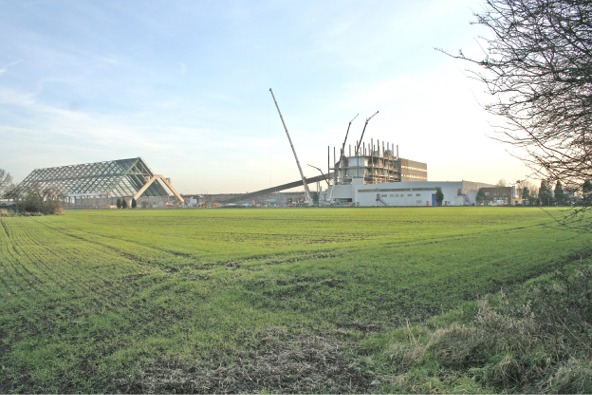
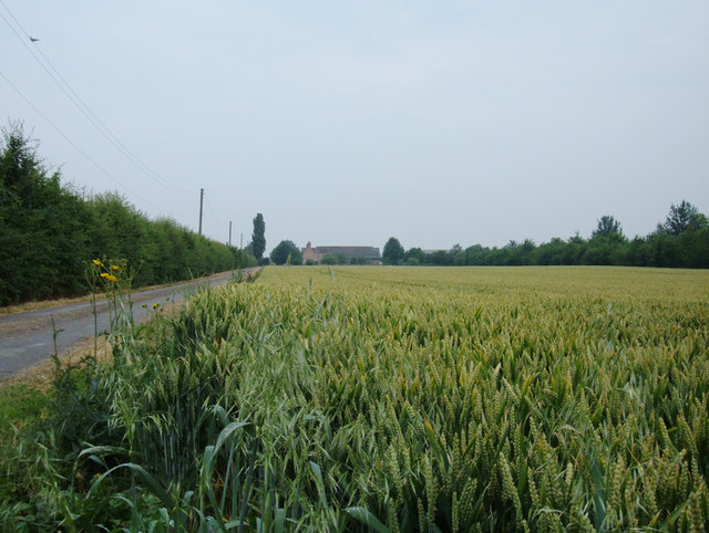
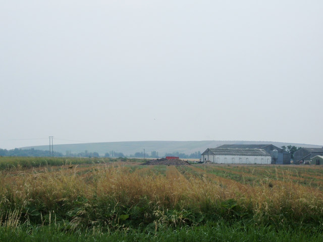
Ash Row Wood is a beautiful woodland located in the county of Yorkshire, England. Spread across an area of approximately 100 acres, this woodland is a prominent natural attraction in the region. The wood is primarily made up of ash trees, which lend their name to the location.
The woodland is a haven for nature enthusiasts, offering a diverse range of flora and fauna. The dense forest canopy provides a habitat for various bird species, including woodpeckers, owls, and thrushes. Additionally, small mammals such as squirrels, rabbits, and foxes can be spotted within the wood.
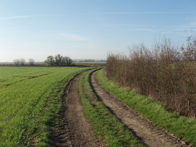
A network of well-maintained walking trails allows visitors to explore the wood at their own pace. These trails wind through the forest, passing by ancient trees and picturesque clearings. The wood is particularly enchanting during spring, when the forest floor is carpeted with vibrant bluebells and other wildflowers.
Ash Row Wood is managed by a local conservation organization, which ensures the preservation of the woodland's natural beauty and biodiversity. The organization also conducts educational programs and guided walks to promote awareness and appreciation of the wood's ecological importance.
The wood is conveniently located near several villages, providing easy access for visitors. There is ample parking available, as well as picnic areas and benches for visitors to relax and enjoy the peaceful surroundings.
Overall, Ash Row Wood is a captivating destination for nature lovers and those seeking tranquility amidst the beauty of Yorkshire's landscapes.
If you have any feedback on the listing, please let us know in the comments section below.
Ash Row Wood Images
Images are sourced within 2km of 53.798488/-1.2048003 or Grid Reference SE5233. Thanks to Geograph Open Source API. All images are credited.


Ash Row Wood is located at Grid Ref: SE5233 (Lat: 53.798488, Lng: -1.2048003)
Division: West Riding
Administrative County: North Yorkshire
District: Selby
Police Authority: North Yorkshire
What 3 Words
///nuptials.herbs.reconnect. Near Sherburn in Elmet, North Yorkshire
Nearby Locations
Related Wikis

Little Fenton
Little Fenton is a settlement and civil parish about 11 miles from York, in the Selby District, in the county of North Yorkshire, England. In 2001 the...
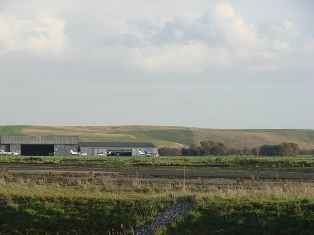
Sherburn-in-Elmet Airfield
Sherburn-in-Elmet Airfield (ICAO: EGCJ) is located 1.5 nautical miles (2.8 km; 1.7 mi) east of Sherburn in Elmet village and 5.5 NM (10.2 km; 6.3 mi) west...

Sherburn-in-Elmet railway station
Sherburn-in-Elmet railway station serves the town of Sherburn in Elmet in North Yorkshire, England. The station is located approximately 1 mile (1.6 km...
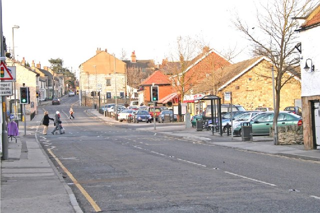
Sherburn in Elmet
Sherburn in Elmet (pronounced SHUR-bər-nin-EL-mit) is a town and civil parish in the district and county of North Yorkshire, England. It is to the west...

Biggin, North Yorkshire
Biggin is a village and civil parish in the Selby District of North Yorkshire, England, north-west of Selby. The village was historically part of the West...
Gascoigne Wood Junction railway station
Gascoigne Wood Junction railway station was a railway station near Sherburn-in-Elmet in North Yorkshire, England. It was originally opened as a junction...
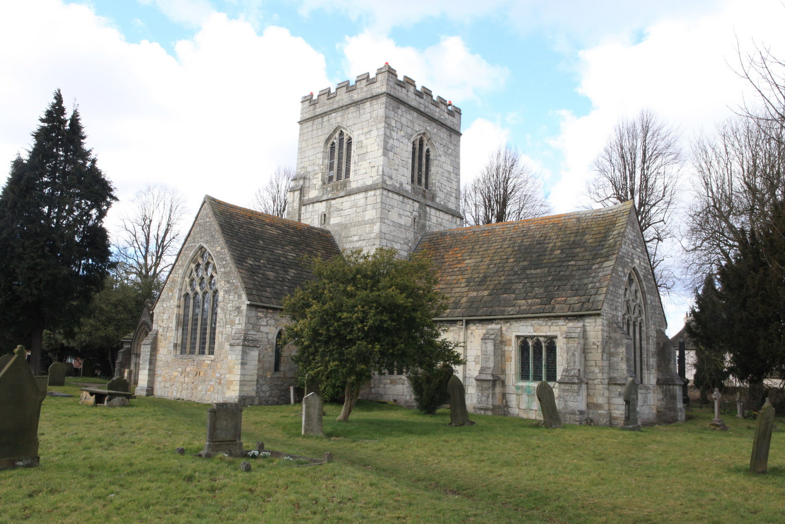
St Mary the Virgin's Church, Church Fenton
St Mary the Virgin's Church is the parish church of Church Fenton, a village south of Tadcaster in North Yorkshire, in England. == History == Much of the...

Church Fenton
Church Fenton is a village and civil parish in the North Yorkshire district of North Yorkshire, England. It is about 16 miles (26 km) east of Leeds, about...
Have you been to Ash Row Wood?
Leave your review of Ash Row Wood below (or comments, questions and feedback).