Clark's Spinney
Wood, Forest in Leicestershire Blaby
England
Clark's Spinney
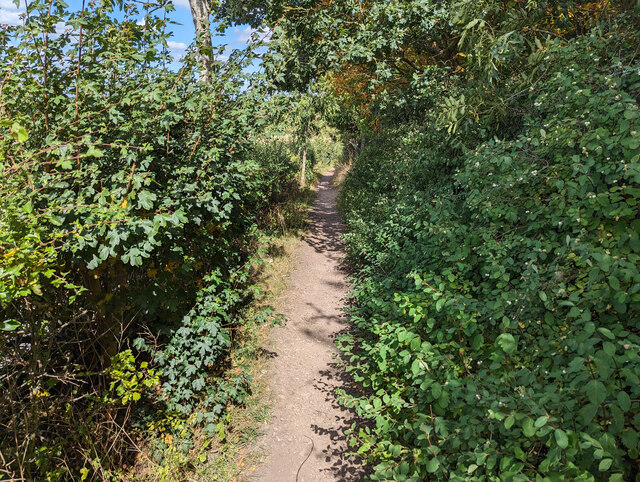
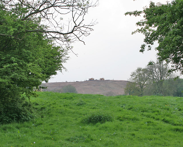
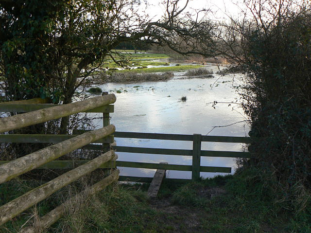
Clark's Spinney is a small woodland area located in Leicestershire, England. Nestled within the larger forested region of Wood, it offers a tranquil escape from the bustling city life. Covering an area roughly equivalent to 3.5 acres, Clark's Spinney is characterized by its dense vegetation, diverse tree species, and picturesque surroundings.
The woodland is home to a variety of native trees, including oak, beech, and birch, creating a rich and vibrant ecosystem. The forest floor is adorned with a carpet of wildflowers during the spring and summer months, adding bursts of color to the landscape. The dense canopy of trees provides shade and shelter, attracting an array of bird species, such as woodpeckers, owls, and jays.
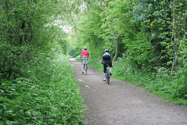
Clark's Spinney is a popular destination for nature enthusiasts and hikers who can explore the numerous walking trails that wind through the woodland. These trails offer opportunities to observe the local wildlife and appreciate the natural beauty of the area. The woodland also features a small pond, which serves as a watering hole for various animals, including deer and foxes.
Managed by local conservation organizations, Clark's Spinney is carefully preserved to maintain its ecological balance and protect its flora and fauna. The woodland is open to the public year-round, providing a peaceful retreat and a chance to connect with nature. Whether it's for leisurely walks, birdwatching, or simply escaping the noise of urban life, Clark's Spinney offers a serene and captivating experience for visitors.
If you have any feedback on the listing, please let us know in the comments section below.
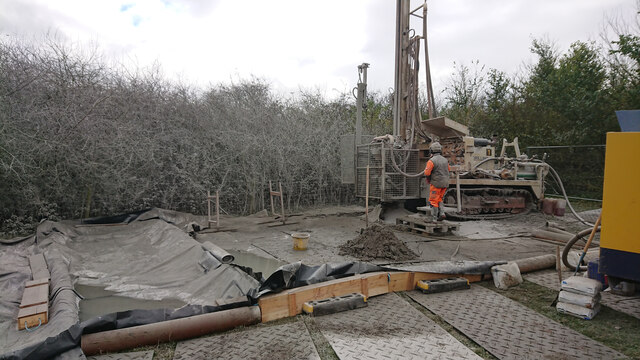
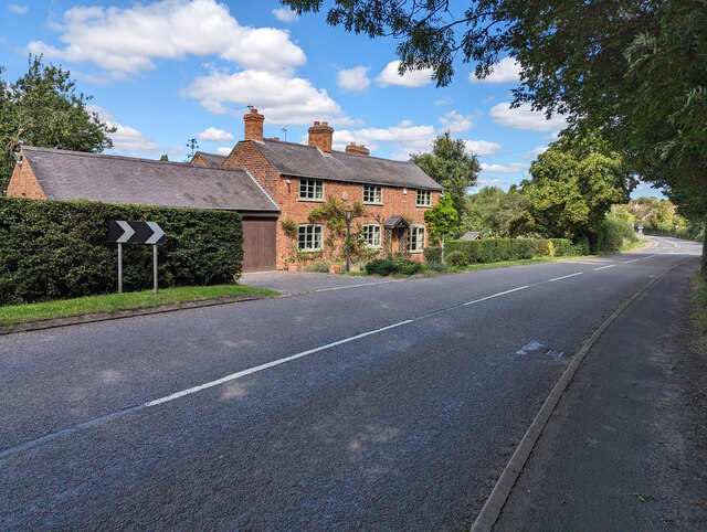
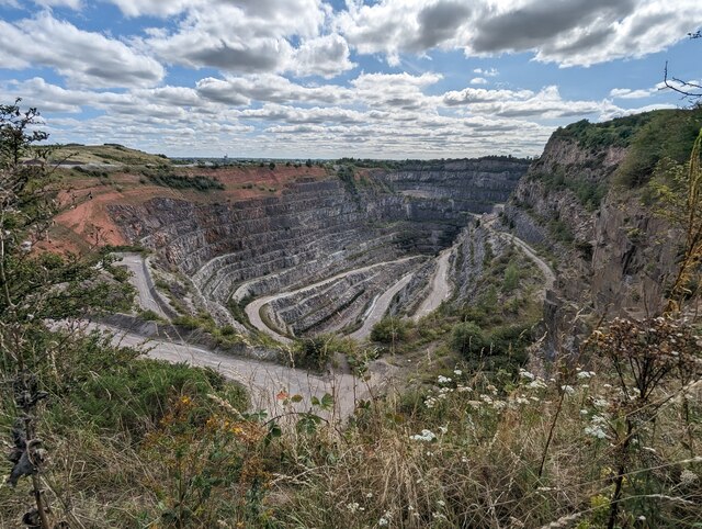
Clark's Spinney Images
Images are sourced within 2km of 52.555593/-1.227466 or Grid Reference SP5295. Thanks to Geograph Open Source API. All images are credited.


Clark's Spinney is located at Grid Ref: SP5295 (Lat: 52.555593, Lng: -1.227466)
Administrative County: Leicestershire
District: Blaby
Police Authority: Leicestershire
What 3 Words
///hazy.skills.tailors. Near Croft, Leicestershire
Nearby Locations
Related Wikis

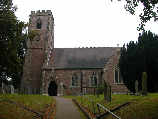
Croft, Leicestershire
Croft is a village and civil parish in the Blaby district of Leicestershire, off the Fosse Way, straddling the River Soar. The population of the civil...
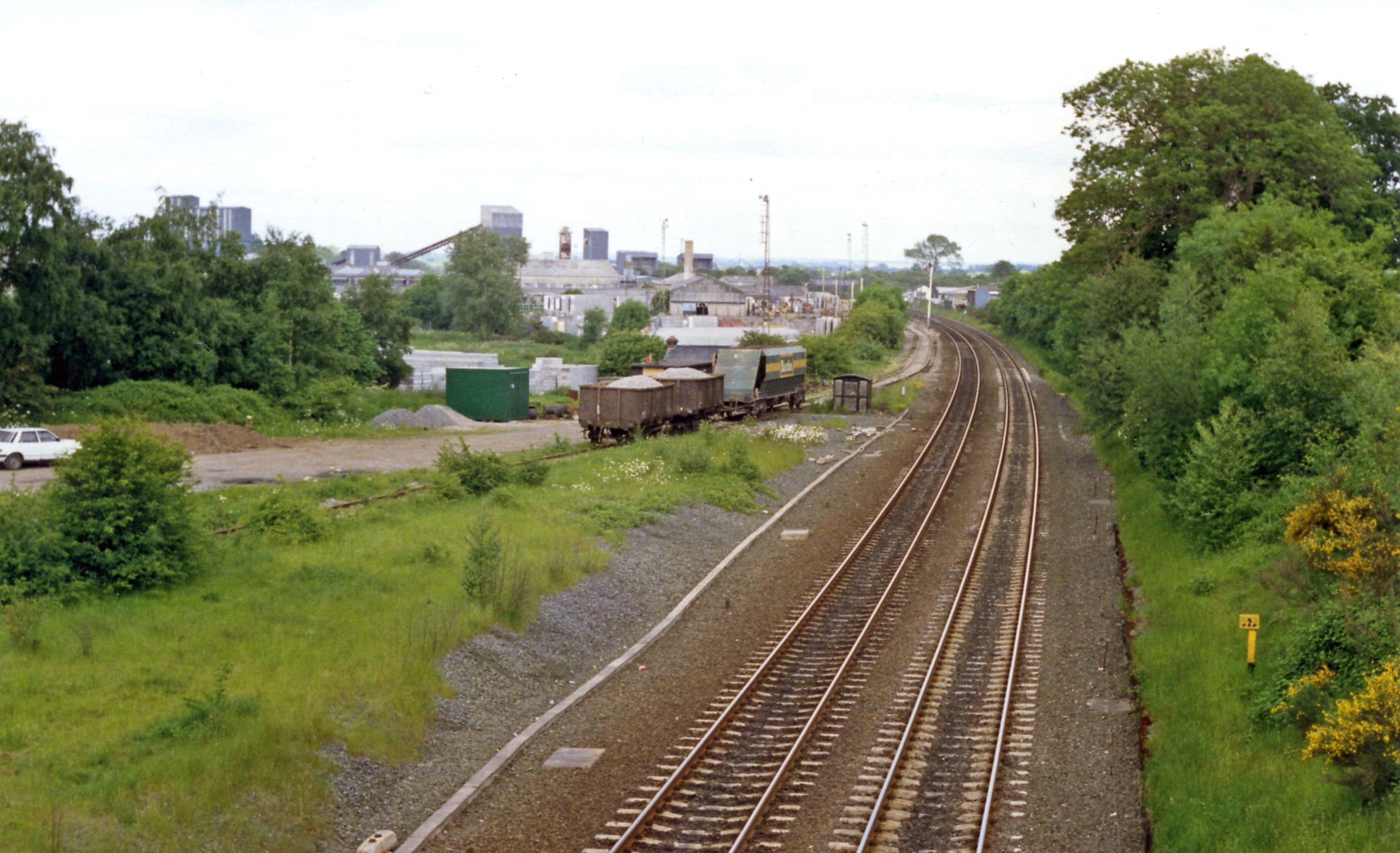
Croft railway station, Leicester
Croft railway station was a railway station serving the village of Croft in Leicestershire. It was on the Birmingham to Peterborough Line about 9 miles...
Croft Pasture
Croft Pasture is a 6.2-hectare (15-acre) biological Site of Special Scientific Interest on the outskirts of Croft in Leicestershire. Most of the site,...

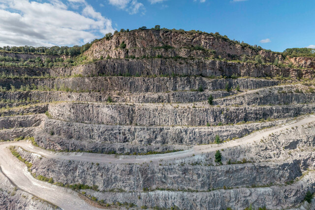
Croft and Huncote Quarry
Croft and Huncote Quarry is a 35.3-hectare (87-acre) geological Site of Special Scientific Interest north of Croft in Leicestershire. It is a Geological...

Sutton in the Elms
Sutton in the Elms is a settlement in the northwest of Broughton Astley (where the population is listed), Leicestershire. Its name is sometimes abbreviated...

Croft Hill
Croft Hill is a 2-hectare (4.9-acre) biological Site of Special Scientific Interest north of Croft in Leicestershire, England.This site has short, tussocky...

Huncote
Huncote is a village and civil parish in the district of Blaby in the county of Leicestershire, England. It is just west of Narborough, and is on the...
Littlethorpe, Leicestershire
Littlethorpe is a small village approximately six miles (ten kilometres) south of Leicester, separated from the village of Narborough by the Leicester...
Nearby Amenities
Located within 500m of 52.555593,-1.227466Have you been to Clark's Spinney?
Leave your review of Clark's Spinney below (or comments, questions and feedback).