Drury
Settlement in Flintshire
Wales
Drury

Drury is a small village located in Flintshire, Wales. It is situated near the border with England and is surrounded by picturesque countryside. The village is primarily residential, with a mix of traditional stone cottages and more modern housing developments.
Drury is a peaceful and close-knit community, with a village hall, local pub, and a small primary school serving the residents. The village is well-connected by road, with easy access to nearby towns such as Mold and Chester. The nearby A55 expressway provides convenient links to major cities like Liverpool and Manchester.
The surrounding area offers plenty of opportunities for outdoor activities, with numerous walking and cycling paths through the scenic countryside. The nearby Loggerheads Country Park is a popular destination for nature lovers and hikers.
Overall, Drury is a charming village with a strong sense of community and a tranquil atmosphere, making it an ideal place for those looking to escape the hustle and bustle of city life.
If you have any feedback on the listing, please let us know in the comments section below.
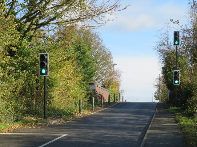
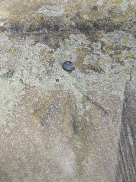
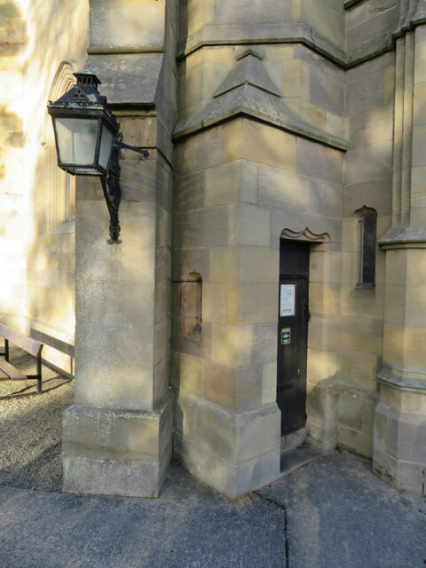
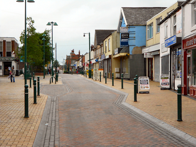
Drury Images
Images are sourced within 2km of 53.171107/-3.056452 or Grid Reference SJ2964. Thanks to Geograph Open Source API. All images are credited.


Drury is located at Grid Ref: SJ2964 (Lat: 53.171107, Lng: -3.056452)
Unitary Authority: Flintshire
Police Authority: North Wales
What 3 Words
///forge.perfect.unity. Near Buckley, Flintshire
Nearby Locations
Related Wikis
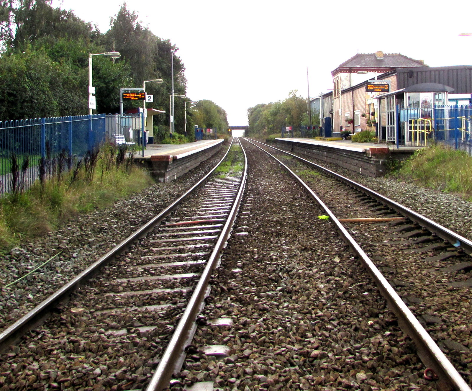
Buckley railway station
Buckley railway station serves the town of Buckley in Flintshire, Wales. The station is 8½ miles (14 km) north of Wrexham Central on the Borderlands Line...

Alyn and Deeside (Senedd constituency)
Alyn and Deeside (Welsh: Alun a Glannau Dyfrdwy) is a constituency of the Senedd. It elects one Member of the Senedd by the first past the post method...

Buckley Town F.C.
Buckley Town Football Club (Welsh: Clwb Pêl-Droed Tref Bwcle) is a Welsh football team based in Buckley, Flintshire, Wales. They currently play in the...
Etna Park
Etna Park is a park near the town of Buckley.The area was a clay hole during the Industrial Revolution, and was later used as a landfill. The site has...
Related Videos

My nephew on holiday
Dancing the day away.

kiltwalk day 1, Deeside way, Scotland
left castkegate at 6am, stopped at inchmarlow, doing the "virtual" kiltwalk for northsounds cash for kids.
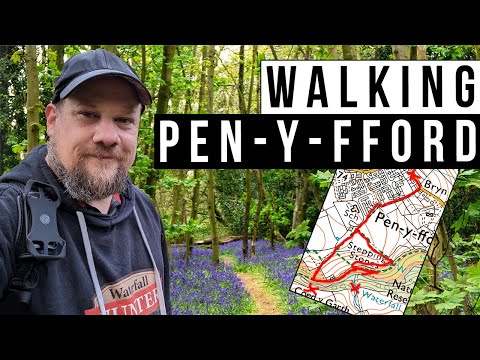
Discovering the Undiscovered: A North Wales Waterfall
In this very brief video, I take you on a relaxing springtime walk to a little known waterfall that I nearly didn't find - although I didn't ...

A World War Two Bunker | Flintshire Circular Walks
ComeWalkWithMe #WorldWarTwo #Bunker #Walks #Hikes #Flintshire #CircularWalks #Nature #Walking #Hiking Donate against ...
Nearby Amenities
Located within 500m of 53.171107,-3.056452Have you been to Drury?
Leave your review of Drury below (or comments, questions and feedback).