Compton Wood
Wood, Forest in Berkshire
England
Compton Wood

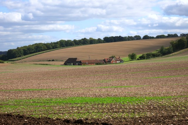
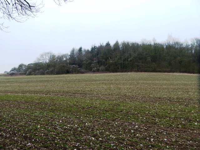
Compton Wood is a picturesque woodland located in the county of Berkshire, England. Situated near the village of Compton, this woodland covers a vast area of approximately 100 acres. Compton Wood is part of the larger Compton Estate, which is renowned for its natural beauty and diverse wildlife.
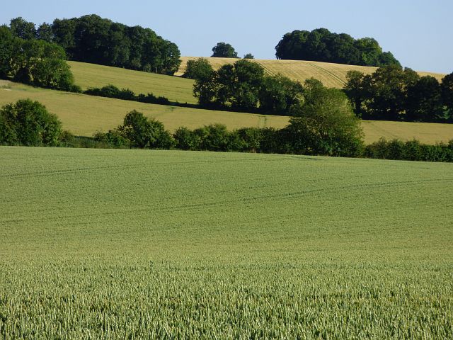
The woodland is characterized by a mix of deciduous and coniferous trees, creating a unique and enchanting environment. Ancient oak trees dominate the landscape, their gnarled branches reaching towards the sky, while beech, birch, and pine trees provide a contrasting backdrop. This variety of tree species offers a rich habitat for a wide range of flora and fauna.
Compton Wood is a popular destination for nature lovers, hikers, and wildlife enthusiasts. Numerous well-marked trails wind through the woodland, allowing visitors to explore its beauty at their own pace. The tranquil atmosphere and the melodic sounds of birdsong make it an ideal place for relaxation and contemplation.
The woodland is also home to a diverse array of wildlife. Deer, squirrels, and a variety of bird species can often be spotted amidst the trees and undergrowth. The presence of a small stream running through the wood adds to its charm and provides a vital water source for the local wildlife.
Maintained by the local authorities, Compton Wood offers a peaceful retreat from the bustling urban life. Its natural beauty, combined with its accessibility and well-maintained trails, make it an excellent destination for those seeking a connection with nature. Compton Wood truly encapsulates the idyllic beauty of Berkshire's forests and is a must-visit location for anyone exploring the region.
If you have any feedback on the listing, please let us know in the comments section below.
Compton Wood Images
Images are sourced within 2km of 51.502517/-1.2474861 or Grid Reference SU5278. Thanks to Geograph Open Source API. All images are credited.


Compton Wood is located at Grid Ref: SU5278 (Lat: 51.502517, Lng: -1.2474861)
Unitary Authority: West Berkshire
Police Authority: Thames Valley
What 3 Words
///reflector.farmed.dizziness. Near Compton, Berkshire
Nearby Locations
Related Wikis

Perborough Castle
Perborough Castle is the site of an Iron Age univallate hillfort located at Compton in Berkshire. The site covers approximately 14 acres (5.7 ha), and...

The Downs School, Compton
The Downs School is a comprehensive secondary school in the village of Compton, Berkshire, England. It is a state school run by West Berkshire Education...
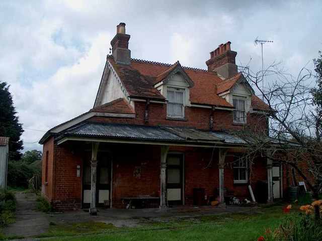
Compton railway station
Compton railway station was a station on the Didcot, Newbury and Southampton Railway in England. Compton was the largest station between Newbury, Berkshire...
Compton, Berkshire
Compton is a village and civil parish in the River Pang valley in the Berkshire Downs about 6 miles (9.7 km) south of Didcot. == Geography == Compton is...

East Ilsley
East Ilsley is a village and civil parish in the Berkshire Downs in West Berkshire, north of Newbury. The village is centred immediately east of the A34...

Hampstead Norris railway station
Hampstead Norris railway station was a station on the Didcot, Newbury and Southampton Railway in England. It served the village of Hampstead Norreys in...

Hampstead Norreys
Hampstead Norreys (alternatively spelt Hampstead Norris as it is pronounced) is a village and civil parish in Berkshire, England. It is centred on the...
Ashridge Wood
Ashridge Wood is a 15.9-hectare (39-acre) biological Site of Special Scientific Interest south-west of Compton in Berkshire. It is in the North Wessex...
Nearby Amenities
Located within 500m of 51.502517,-1.2474861Have you been to Compton Wood?
Leave your review of Compton Wood below (or comments, questions and feedback).