Anston Plantation

Wood, Forest in Yorkshire

England

Anston Plantation

The Bird Scrape, North Anston This photograph was taken from the top of the reclaimed Dinnington colliery site. The bird scrape was the idea of the SK58 Birders Group, and there is now a hide close by to watch wading birds.
The Bird Scrape, North Anston Credit: Robin Stonebridge

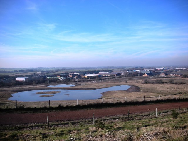
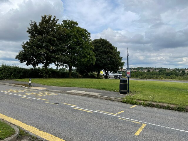
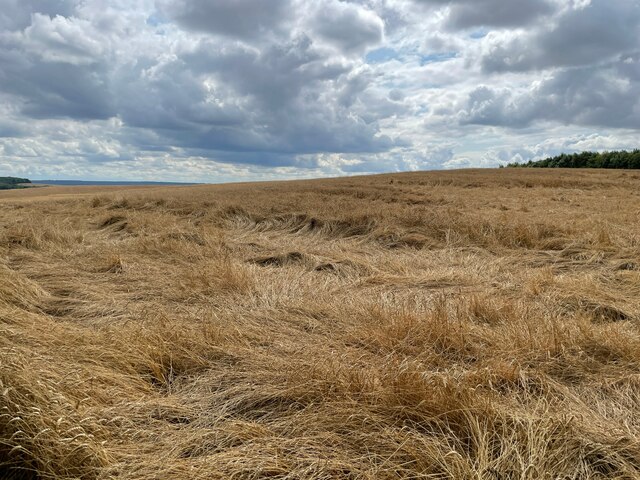
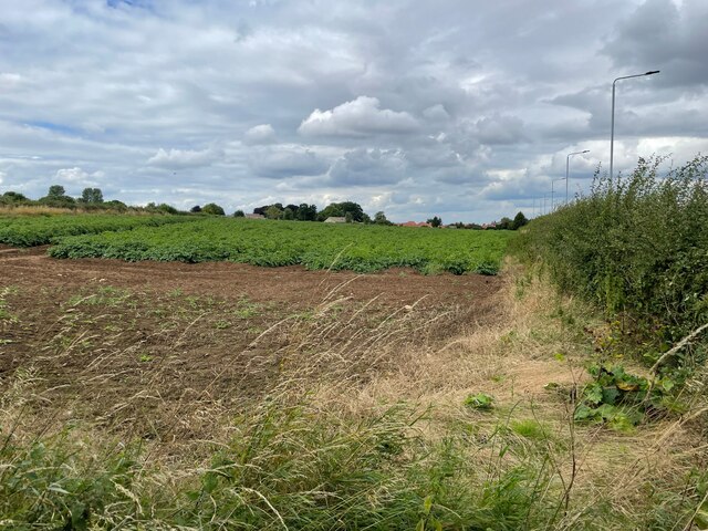
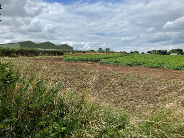
Anston Plantation, located in Yorkshire, England, is a picturesque woodland area known for its sprawling forests and natural beauty. Covering an area of approximately 200 acres, this plantation is a haven for nature enthusiasts and outdoor adventurers alike.

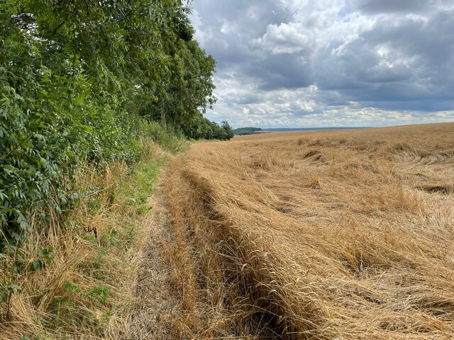
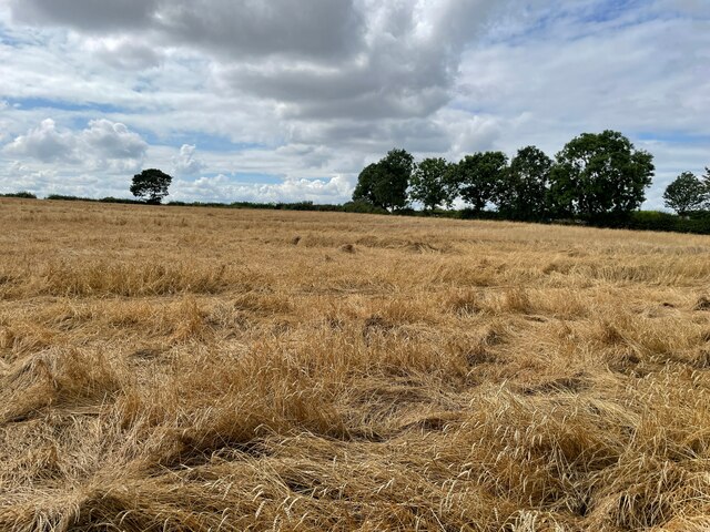
The plantation is predominantly made up of various species of trees, including oak, beech, and pine, which create a dense and vibrant forest canopy. The diverse flora and fauna found within Anston Plantation make it an important ecological site, attracting a wide range of wildlife, such as deer, birds, and small mammals.

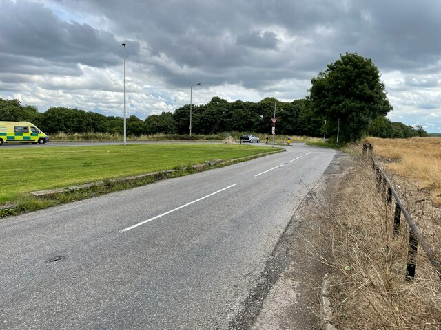
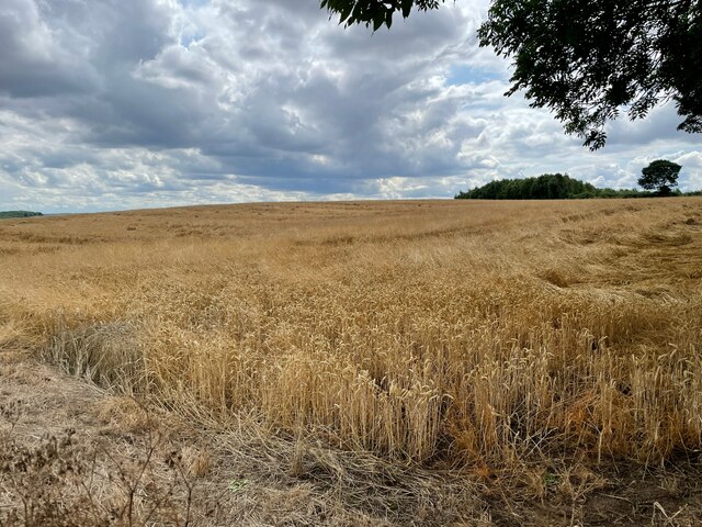
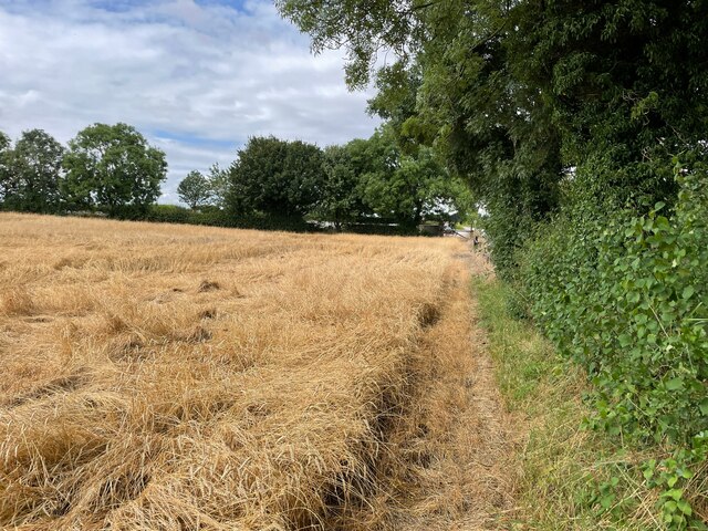
Visitors to Anston Plantation can enjoy a network of well-maintained walking trails that wind through the woodland, providing opportunities for leisurely strolls and more challenging hikes. The trails offer stunning views of the surrounding landscape, including rolling hills and meandering streams.

For those interested in history, Anston Plantation has a rich past. The site was originally established as a timber plantation in the 18th century and has since played a significant role in the local economy. Over the years, the plantation has been managed sustainably to ensure the preservation of its natural assets.

Anston Plantation is a popular destination for outdoor activities such as picnicking, birdwatching, and photography. The tranquil atmosphere and breathtaking scenery make it an ideal spot for relaxation and connecting with nature.

Overall, Anston Plantation in Yorkshire is a captivating woodland area that offers a unique blend of natural beauty, recreational opportunities, and historical significance.

If you have any feedback on the listing, please let us know in the comments section below.

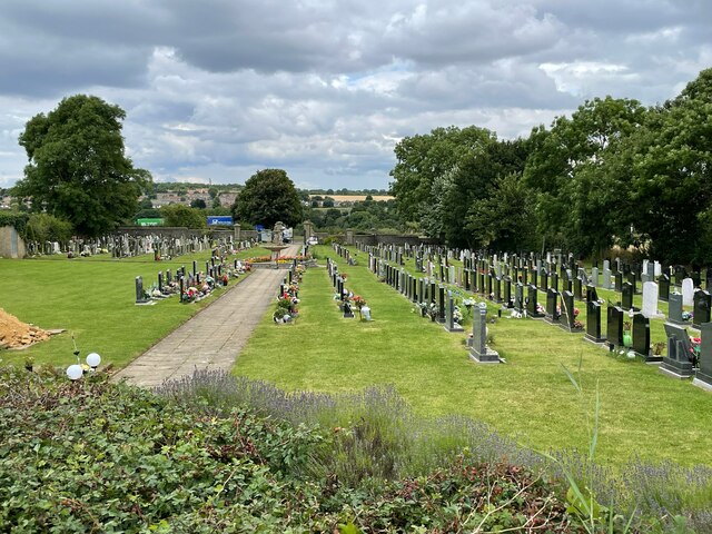
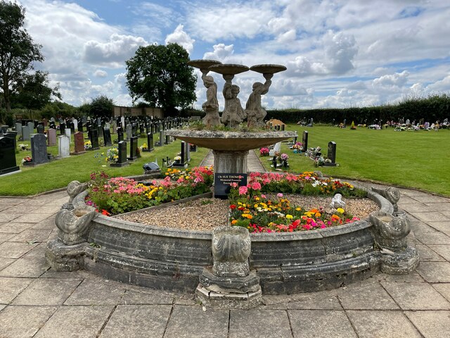
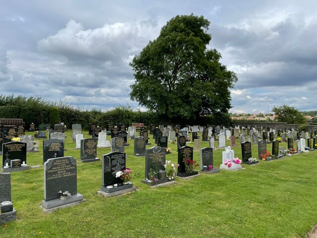
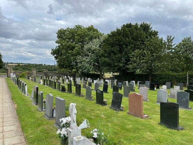
Anston Plantation Images

Images are sourced within 2km of 53.36131/-1.2166268 or Grid Reference SK5285. Thanks to Geograph Open Source API. All images are credited.

The Bird Scrape, North Anston This photograph was taken from the top of the reclaimed Dinnington colliery site. The bird scrape was the idea of the SK58 Birders Group, and there is now a hide close by to watch wading birds.
The Bird Scrape, North Anston
This photograph was taken from the top of the reclaimed Dinnington colliery site. The bird scrape was the idea of the SK58 Birders Group, and there is now a hide close by to watch wading birds.
Anston Burial Ground
Bus stop on B6059
Bus stop on B6059
B6059 / A57
B6059 / A57
Farmland east of South Anston
Bus stop on B6059
Bus stop on B6059
Farmland east of South Anston
Show me another place!

Anston Plantation is located at Grid Ref: SK5285 (Lat: 53.36131, Lng: -1.2166268)

Division: West Riding

Unitary Authority: Rotherham

Police Authority: South Yorkshire

What 3 Words

///joins.manliness.apartment. Near Dinnington, South Yorkshire

Related Wikis

Anston

Anston is a civil parish in South Yorkshire, England, formally known as North and South Anston. The parish of Anston consists of the settlements of North...

Dinnington Main Colliery

Dinnington Main Colliery was a coal mine situated in the village of Dinnington, near Rotherham, South Yorkshire, England. Until the coming of the colliery...

Anston railway station

Anston railway station was situated on the Great Central and Midland Joint Railway line between the villages of North Anston and South Anston near Rotherham...

Dinnington, South Yorkshire

Dinnington is a town and civil parish in the Metropolitan Borough of Rotherham in South Yorkshire, England. It is near to the towns of Worksop and Rotherham...

Dinnington Town F.C.

Dinnington Town Football Club is a football club based in Dinnington, Rotherham, South Yorkshire, England. == History == The club was formed in 2000, joining...

Beighton (ward)

Beighton ()—which includes the districts of Beighton, Hackenthorpe, Owlthorpe, and Sothall—is one of the 28 electoral wards in City of Sheffield, England...

Macalloy

McCalls Special Products Ltd is a British manufacturer of steel bar and cable components for tensioned concrete, ground anchors, curtain walling, and steel...

St James Church, Anston

St James Church, Anston is a grade I listed Church of England parish church situated in Anston, South Yorkshire, England. == History == Anston has had...

Nearby Amenities

Located within 500m of 53.36131,-1.2166268
Bus Stop
Nursery Road/Nursery Crescent
Alt Name: Nursery Road/Nursery Crescent
Bus: yes
Naptan AltCommonName: Nursery Road/Nursery Crescent
Naptan AtcoCode: 370030095
Naptan Bearing: NE
Naptan CommonName: Nursery Road/Nursery Crescent
Naptan Indicator: 30095
Naptan Landmark: 30095
Naptan PlusbusZoneRef: ROTHCEN
Naptan Street: Nursery Road
Naptan Verified: no
Public Transport: platform
Source: naptan_import
Lat/Long: 53.3590366/-1.2184587
Bus Stop
Nursery Road/Park Avenue
Alt Name: Nursery Road/Park Avenue
Bus: yes
Naptan AltCommonName: Nursery Road/Park Avenue
Naptan AtcoCode: 370030053
Naptan Bearing: SW
Naptan CommonName: Nursery Road/Park Avenue
Naptan Indicator: 30053
Naptan Landmark: DINNINGTON PARK
Naptan PlusbusZoneRef: ROTHCEN
Naptan Street: Nursery Road
Naptan Verified: no
Public Transport: platform
Source: naptan_import
Lat/Long: 53.3632017/-1.2121009
Bus Stop
Lakeland Drive/Thirlmere Drive
Bus: yes
Naptan AtcoCode: 370030063
Naptan Bearing: NE
Naptan CommonName: Lakeland Drive/Thirlmere Drive
Naptan Indicator: 30063
Naptan Landmark: 30063
Naptan PlusbusZoneRef: ROTHCEN
Naptan Street: Lakeland Drive
Naptan Verified: no
Public Transport: platform
Source: naptan_import
Lat/Long: 53.3594958/-1.2108822
Bus Stop
Lakeland Drive/Thirlmere Drive
Bus: yes
Naptan AtcoCode: 370030064
Naptan Bearing: SW
Naptan CommonName: Lakeland Drive/Thirlmere Drive
Naptan Indicator: 30064
Naptan Landmark: 30064
Naptan PlusbusZoneRef: ROTHCEN
Naptan Street: Lakeland Drive
Naptan Verified: no
Public Transport: platform
Source: naptan_import
Lat/Long: 53.3592737/-1.2111912
Bus Stop
Nursery Road/Falcon Way
Bus: yes
Naptan AtcoCode: 370035194
Naptan Bearing: SW
Naptan CommonName: Nursery Road/Falcon Way
Naptan Indicator: 35194
Naptan Landmark: WILLIAMS BAR PUB
Naptan PlusbusZoneRef: ROTHCEN
Naptan Street: Nursery Road
Naptan Verified: no
Public Transport: platform
Source: naptan_import
Lat/Long: 53.3619493/-1.2143931
Bus Stop
Nursery Road/Nursery Crescent
Alt Name: Nursery Road/Nursery Crescent
Bus: yes
Naptan AltCommonName: Nursery Road/Nursery Crescent
Naptan AtcoCode: 370035195
Naptan Bearing: SW
Naptan CommonName: Nursery Road/Nursery Crescent
Naptan Indicator: 35195
Naptan Landmark: 35195
Naptan PlusbusZoneRef: ROTHCEN
Naptan Street: Nursery Road
Naptan Verified: no
Public Transport: platform
Source: naptan_import
Lat/Long: 53.3587399/-1.2184491
Bus Stop
Nursery Road/Falcon Way
Bus: yes
Naptan AtcoCode: 370035204
Naptan Bearing: NE
Naptan CommonName: Nursery Road/Falcon Way
Naptan Indicator: 35204
Naptan Landmark: Dinnington Park
Naptan PlusbusZoneRef: ROTHCEN
Naptan Street: Nursery Road
Naptan Verified: no
Public Transport: platform
Source: naptan_import
Lat/Long: 53.3625119/-1.2138267
Turning Circle
Lat/Long: 53.3599876/-1.2129423
Crossing
Lat/Long: 53.3623124/-1.21407
Bench
Lat/Long: 53.3640238/-1.2113064
Pub
The Little Mester
Addr City: Sheffield
Addr Country: GB
Addr Postcode: S25 4BZ
Addr Street: Nursery Road
Addr Suburb: North Anston
Brand: Greene King
Brand Wikidata: Q5564162
Fhrs Id: 460635
Website: https://www.greeneking.co.uk/pubs/south-yorkshire/little-mester
Lat/Long: 53.3622054/-1.2147918
Post Box
Collection Times: Mo-Fr 09:00; Sa 07:00
Post Box Type: pillar
Ref: S25 933
Royal Cypher: EIIR
Royal Cypher Wikidata: Q33102113
Lat/Long: 53.3622891/-1.2144301
Post Box
Collection Times: Mo-Fr 09:00; Sa 07:00
Post Box Type: pillar
Ref: S25 1318
Royal Cypher: EIIR
Royal Cypher Wikidata: Q33102113
Lat/Long: 53.3594716/-1.2109458
Generator Method: photovoltaic
Generator Output Electricity: yes
Generator Source: solar
Generator Type: solar_photovoltaic_panel
Location: roof
Power: generator
Lat/Long: 53.3584307/-1.220953
Generator Method: photovoltaic
Generator Output Electricity: yes
Generator Source: solar
Generator Type: solar_photovoltaic_panel
Location: roof
Power: generator
Lat/Long: 53.3593543/-1.2200839
Generator Method: photovoltaic
Generator Output Electricity: yes
Generator Source: solar
Generator Type: solar_photovoltaic_panel
Location: roof
Power: generator
Lat/Long: 53.3596632/-1.2200142
Generator Method: photovoltaic
Generator Output Electricity: yes
Generator Source: solar
Generator Type: solar_photovoltaic_panel
Location: roof
Power: generator
Lat/Long: 53.3596664/-1.2200705
Generator Method: photovoltaic
Generator Output Electricity: yes
Generator Source: solar
Generator Type: solar_photovoltaic_panel
Location: roof
Power: generator
Lat/Long: 53.3598153/-1.2209503
Generator Method: photovoltaic
Generator Output Electricity: yes
Generator Source: solar
Generator Type: solar_photovoltaic_panel
Location: roof
Power: generator
Lat/Long: 53.3597577/-1.2205453
Generator Method: photovoltaic
Generator Output Electricity: yes
Generator Source: solar
Generator Type: solar_photovoltaic_panel
Location: roof
Power: generator
Lat/Long: 53.3594007/-1.2197781
Best-one
Addr City: Sheffield
Addr Housenumber: 34
Addr Postcode: S25 4BU
Addr Street: Nursery Road
Addr Suburb: North Anston
Brand: Best-one
Brand Wikidata: Q4896532
Brand Wikipedia: en:Best-one
Contact Website: https://stores.best-one.co.uk/north-anston-post-office-best-one-488744a02310
Fhrs Id: 814280
Shop: convenience
Lat/Long: 53.3580273/-1.2195237
Post Office
North Anston Post Office
Addr City: Sheffield
Addr Country: GB
Addr Postcode: S25 4BU
Addr Street: Nursery Road
Addr Village: North Anston
Opening Hours: Mo-Su 08:00-20:00
Ref Pol Id: 131858
Lat/Long: 53.358008/-1.219445
Defibrillator
Access: yes
Check Date: 2023-03-09
Defibrillator Location: On outside wall. Available 24/7.
Emergency: defibrillator
Indoor: no
Opening Hours: 24/7
Ref GB The Circuit: FF28C2B6-C270-40B9-A19B-AD9B00F2D110
Lat/Long: 53.3609564/-1.2134607
Barrier: cycle_barrier
Lat/Long: 53.3622754/-1.2137558
Noexit: yes
Lat/Long: 53.3640754/-1.2155931
Post Box
Collection Times: Mo-Fr 16:30; Sa 12:00
Post Box Type: wall
Ref: S25 465
Royal Cypher: GVIR
Royal Cypher Wikidata: Q33102169
Lat/Long: 53.3585923/-1.2188708
The data included in this document is from www.openstreetmap.org. The data is made available under ODbL.

Have you been to Anston Plantation?

Leave your review of Anston Plantation below (or comments, questions and feedback).