Mere Flats Holt

Wood, Forest in Yorkshire

England

Mere Flats Holt

Warning sign on Cumwell Lane
Warning sign on Cumwell Lane Credit: Graham Hogg

Mere Flats Holt is a picturesque woodland located in Yorkshire, England. Situated in the heart of Yorkshire's countryside, this woodland is a true haven for nature enthusiasts and outdoor lovers alike. The holt covers a vast area of land, characterized by its dense and diverse collection of trees, making it a perfect destination for those seeking tranquility and a connection with nature.

The woodland is home to a variety of tree species, including oak, beech, and birch, which create a beautiful and ethereal atmosphere. The forest floor is covered with a rich carpet of moss, ferns, and wildflowers, adding to the charm and beauty of this natural retreat. Mere Flats Holt is also a habitat for a diverse range of wildlife, including deer, foxes, rabbits, and a plethora of bird species, making it an ideal spot for birdwatching and wildlife spotting.

Visitors to Mere Flats Holt can enjoy a range of activities, including walking, hiking, and cycling. There are well-maintained trails that wind through the woodland, offering breathtaking views and opportunities to explore the natural beauty of the area. The peaceful surroundings provide a perfect escape from the hustle and bustle of everyday life, allowing visitors to unwind and recharge in the serene ambiance of the forest.

Mere Flats Holt truly showcases the best of Yorkshire's natural beauty, offering a serene and idyllic setting for those seeking solace in nature. Whether it's a leisurely stroll through the woodland or an immersive wildlife experience, this woodland has something to offer for everyone.

If you have any feedback on the listing, please let us know in the comments section below.

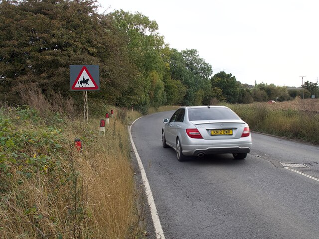
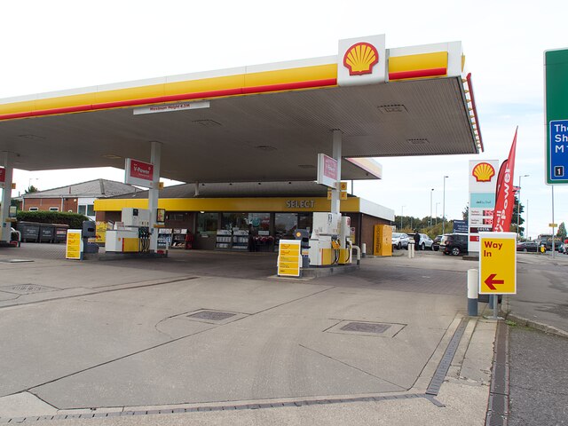
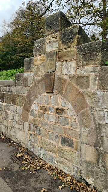
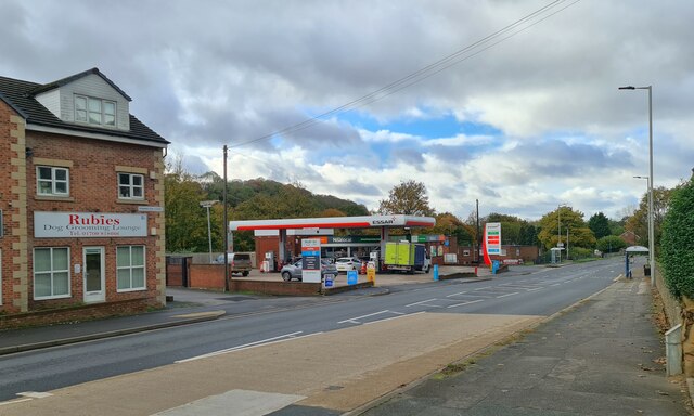
Mere Flats Holt Images

Images are sourced within 2km of 53.433879/-1.2294574 or Grid Reference SK5193. Thanks to Geograph Open Source API. All images are credited.

Warning sign on Cumwell Lane
Petrol station on Bawtry Road No fuel was available at the time of this visit.
Petrol station on Bawtry Road
No fuel was available at the time of this visit.
Fordoles Trig Point Flush Bracket S1852
OS Cut Mark - Micklebring, Fordoles Farm <span class="nowrap"><a title="https://www.bench-marks.org.uk/bm52551" rel="nofollow ugc noopener" href="https://www.bench-marks.org.uk/bm52551">Link</a><img style="margin-left:2px;" alt="External link" title="External link - shift click to open in new window" src="https://s1.geograph.org.uk/img/external.png" width="10" height="10"/></span>
OS Cut Mark - Micklebring, Fordoles Farm
Hellaby Hall Hellaby Hall in Hellaby, South Yorkshire
Hellaby Hall
Hellaby Hall in Hellaby, South Yorkshire
Village Christmas display At a road junction to the east of the village.
Village Christmas display
At a road junction to the east of the village.
We Three Kings Imaginative use of used gas cylinders to make these Christmas decorations. There are several similar displays in village gardens.
We Three Kings
Imaginative use of used gas cylinders to make these Christmas decorations. There are several similar displays in village gardens.
Snow covered track Beside the M18 motorway north of Micklebring
Snow covered track
Beside the M18 motorway north of Micklebring
Junction at Micklebring
Grazing Harts, Micklebring
Former Anglican Church of The Venerable Bede According to the Maltby Neighbourhood Plan 2017- 2028

"This former church (now used for storage by a local company) is of interesting and pleasant design. Built in 1959, its architect was George Pace, now regarded as the foremost ecclesiastical architect of the 20th century in the north of England."
Former Anglican Church of The Venerable Bede
According to the Maltby Neighbourhood Plan 2017- 2028 "This former church (now used for storage by a local company) is of interesting and pleasant design. Built in 1959, its architect was George Pace, now regarded as the foremost ecclesiastical architect of the 20th century in the north of England."
Dale Hill Road, Maltby
Braithwell Road, Maltby
Memorial to R R who died in 1886 Probably the position of a horse trough or public drinking fountain, but who was R R? 

It seems to be on the site of a natural spring.
Memorial to R R who died in 1886
Probably the position of a horse trough or public drinking fountain, but who was R R? It seems to be on the site of a natural spring.
Essar Filling station, Rotherham Road, Maltby Signs of the times, Rubies Dog Grooming Lounge and a Nisalocal shop in the garage.
Essar Filling station, Rotherham Road, Maltby
Signs of the times, Rubies Dog Grooming Lounge and a Nisalocal shop in the garage.
Crystal Hot Hand Car Wash Sign of the times, fuel sales gone to supermarkets and other bigger turnover retailers, car washing no longer the owner's Sunday chore.
Crystal Hot Hand Car Wash
Sign of the times, fuel sales gone to supermarkets and other bigger turnover retailers, car washing no longer the owner's Sunday chore.
Servicing the traffic camera
Shops on Laburnum Parade
Show me another place!

Mere Flats Holt is located at Grid Ref: SK5193 (Lat: 53.433879, Lng: -1.2294574)

Division: West Riding

Unitary Authority: Doncaster

Police Authority: South Yorkshire

What 3 Words

///puddles.headings.standards. Near Hellaby, South Yorkshire

Related Wikis

Micklebring

Micklebring is a small village in the civil parish of Braithwell, South Yorkshire, to the south-west of Doncaster. Coronation Street star Bill Waddington...

Hellaby

Hellaby is a village and civil parish in the Metropolitan Borough of Rotherham, South Yorkshire, England. The population of the civil parish at the 2011...

Maltby, South Yorkshire

Maltby is a former mining town and civil parish in the Metropolitan Borough of Rotherham, South Yorkshire, England. It was historically in the West Riding...

Maltby Academy

Maltby Academy is an academy school in the former mining town of Maltby in South Yorkshire, England. == Admissions == The school has a sixth form. The...
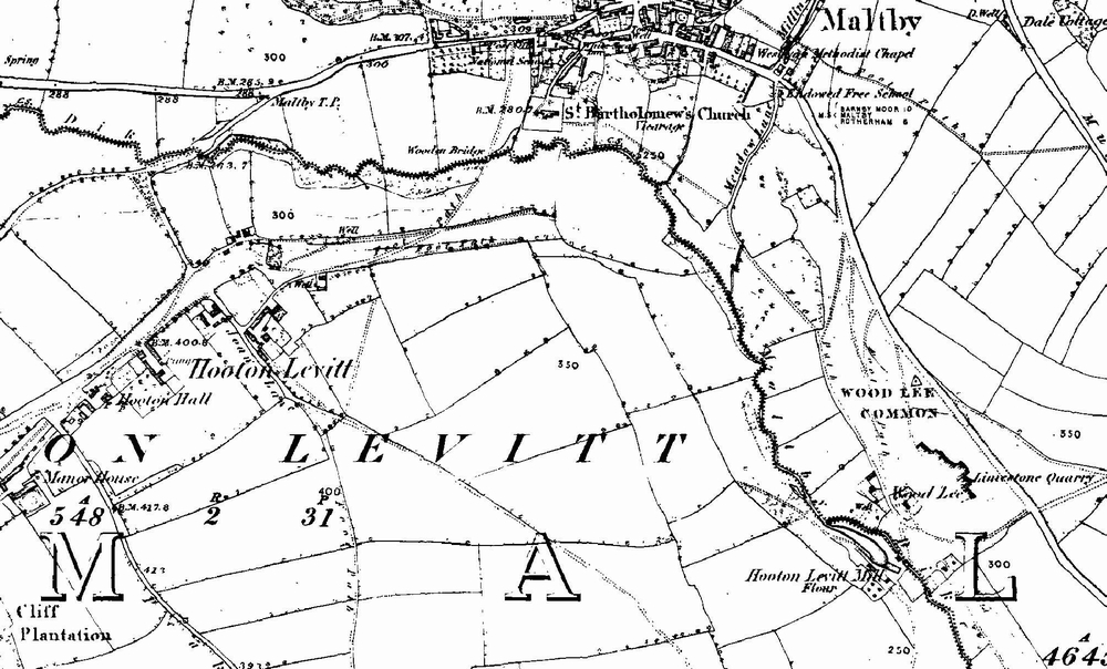
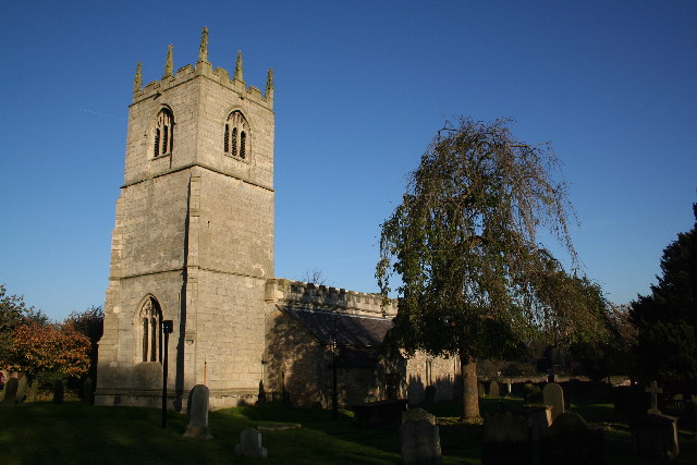
Hooton Levitt

Hooton Levitt (sometimes spelled Hooton Levett) is a village and civil parish in the Metropolitan Borough of Rotherham in South Yorkshire, England; one...

Braithwell

Braithwell is a village and civil parish in the Metropolitan Borough of Doncaster in South Yorkshire, England. It is about 1 mile (1.6 km) north from Maltby...

Bramley, Rotherham

Bramley is a village and civil parish of the Metropolitan Borough of Rotherham in South Yorkshire, England. The village is situated approximately 4 miles...

Carr, South Yorkshire

Carr is a hamlet in the civil parish of Laughton-en-le-Morthen, in the Rotherham district lying to the south of Rotherham, South Yorkshire, England....

Related Videos

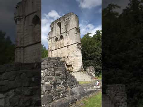
Roche Abbey in Maltby UK

crazycemeterylady #cemetery #headstonecleaner #abbey #communityservice #graves #gravegeeks.

The Air Up There - Micklebring

Ariel Footage of The village of Micklebring Music: Josh Woodward - Gravity http://joshwoodward Micklebring is a small village in ...

Nearby Amenities

Located within 500m of 53.433879,-1.2294574
Foredoles Head
Ele: 144
Man Made: survey_point
Ref: S1852
Lat/Long: 53.434772/-1.2289936
Generator Method: photovoltaic
Generator Output Electricity: yes
Generator Source: solar
Generator Type: solar_photovoltaic_panel
Location: roof
Power: generator
Lat/Long: 53.4315917/-1.225732
Generator Method: photovoltaic
Generator Output Electricity: yes
Generator Source: solar
Generator Type: solar_photovoltaic_panel
Location: roof
Power: generator
Lat/Long: 53.431988/-1.2247905
Generator Method: photovoltaic
Generator Output Electricity: yes
Generator Source: solar
Generator Type: solar_photovoltaic_panel
Location: roof
Power: generator
Lat/Long: 53.4319944/-1.2247503
Generator Method: photovoltaic
Generator Output Electricity: yes
Generator Source: solar
Generator Type: solar_photovoltaic_panel
Location: roof
Power: generator
Lat/Long: 53.4312386/-1.2239993
Generator Method: photovoltaic
Generator Output Electricity: yes
Generator Source: solar
Generator Type: solar_photovoltaic_panel
Location: roof
Power: generator
Lat/Long: 53.4312945/-1.2243372
Generator Method: photovoltaic
Generator Output Electricity: yes
Generator Source: solar
Generator Type: solar_photovoltaic_panel
Location: roof
Power: generator
Lat/Long: 53.430764/-1.2241709
Marker: aerial
Lat/Long: 53.4348032/-1.2298067
Marker: post
Lat/Long: 53.4347182/-1.2304492
Marker: post
Lat/Long: 53.4349078/-1.2227947
The data included in this document is from www.openstreetmap.org. The data is made available under ODbL.

Have you been to Mere Flats Holt?

Leave your review of Mere Flats Holt below (or comments, questions and feedback).