Paradise Spinney

Wood, Forest in Leicestershire Blaby

England

Paradise Spinney

Borehole drilling, Croft Quarry If I remember correctly, this borehole is a couple of hundred metres deep.
Borehole drilling, Croft Quarry Credit: TCExplorer

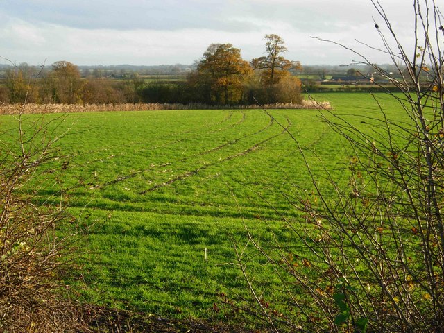
Paradise Spinney, located in Leicestershire, is a captivating woodland area known for its natural beauty and tranquility. Spanning across a vast area, the spinney is characterized by dense tree cover, creating a serene and peaceful atmosphere for visitors to enjoy.

The woodland is home to a diverse range of plant and animal species, making it an ideal spot for nature enthusiasts and wildlife lovers. Tall, majestic oak trees dominate the landscape, intermingled with other native species like birch, beech, and spruce. The forest floor is adorned with a rich carpet of moss, ferns, and wildflowers, adding to the enchanting ambiance of the spinney.

Walking through Paradise Spinney, one can witness the harmonious symphony of birdsong, with a variety of avian species calling it their home. The woodpecker's rhythmic tapping, the melodious warble of blackbirds, and the distinctive hooting of owls create a melodic backdrop to the woodland experience.

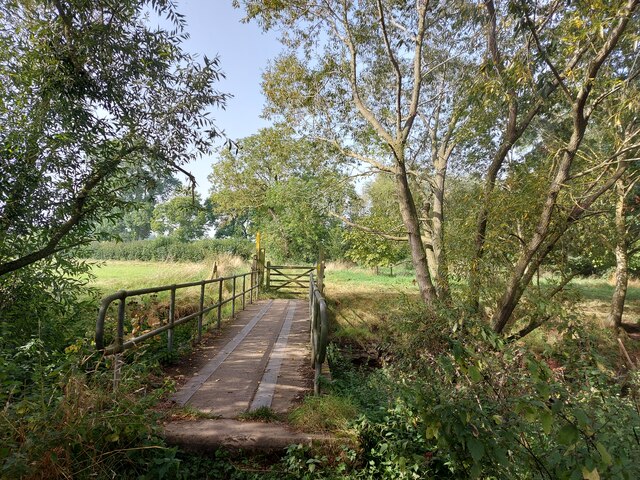
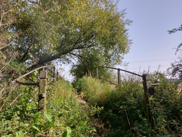
Visitors can explore the spinney through a network of well-maintained walking trails that wind through the forest, providing an opportunity to immerse oneself in nature and take in the scenic beauty. The trails lead to hidden clearings and secluded ponds, offering picturesque spots for picnics or quiet contemplation.

Paradise Spinney is a popular destination for nature walks, photography, and family outings. With its serene atmosphere, diverse flora and fauna, and scenic trails, it truly lives up to its name, providing a slice of paradise for those seeking solace in the heart of Leicestershire.

If you have any feedback on the listing, please let us know in the comments section below.

Paradise Spinney Images

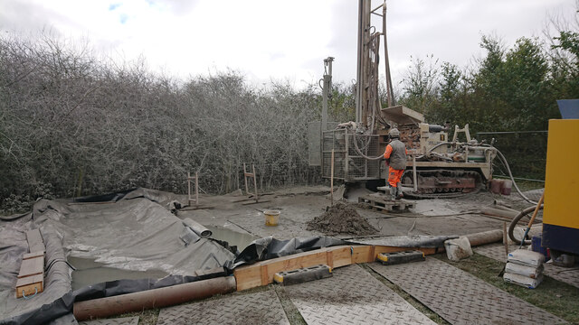
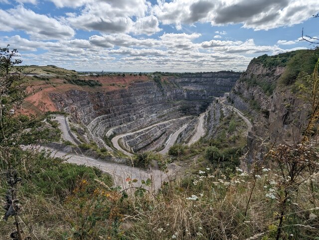
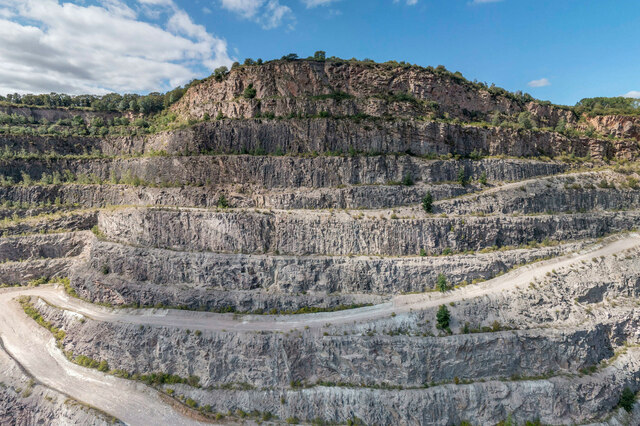
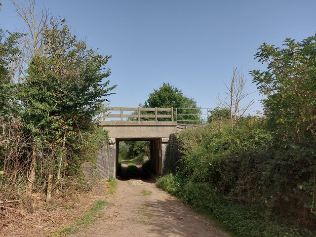
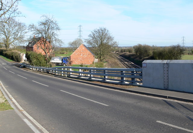
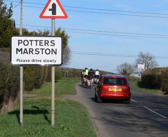
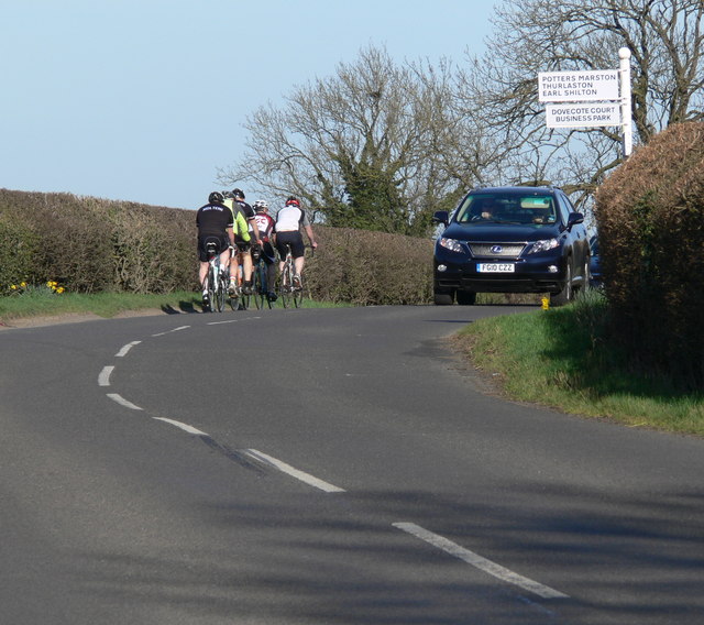
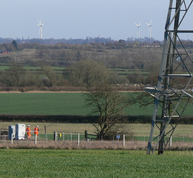
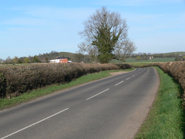
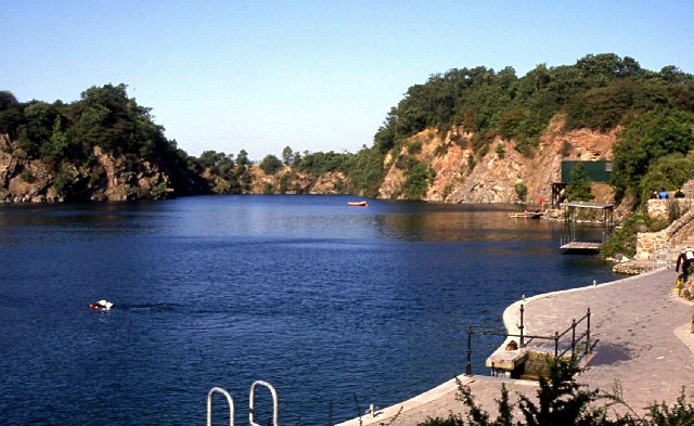
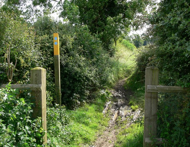
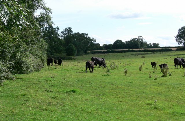
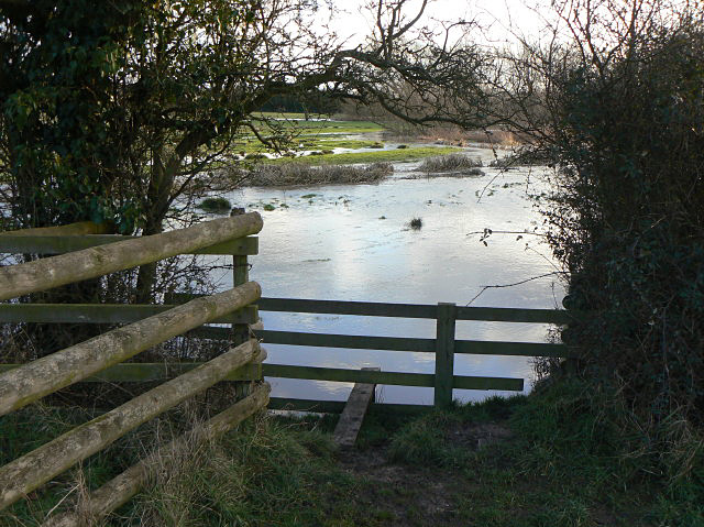
Images are sourced within 2km of 52.549241/-1.2462479 or Grid Reference SP5194. Thanks to Geograph Open Source API. All images are credited.

Borehole drilling, Croft Quarry If I remember correctly, this borehole is a couple of hundred metres deep.
Borehole drilling, Croft Quarry
If I remember correctly, this borehole is a couple of hundred metres deep.
Croft Quarry One of the largest holes in the UK, Croft Quarry is no longer actively being extracted and is set to be infilled with inert waste as part of restoration plans.
Croft Quarry
One of the largest holes in the UK, Croft Quarry is no longer actively being extracted and is set to be infilled with inert waste as part of restoration plans.
Groundwater monitoring borehole A c. 250 m deep groundwater monitoring borehole - in place as part of baseline monitoring for the future landfill. See also <a href="https://www.geograph.org.uk/photo/7558628">SP5196 : Borehole drilling, Croft Quarry</a>.
Groundwater monitoring borehole
A c. 250 m deep groundwater monitoring borehole - in place as part of baseline monitoring for the future landfill. See also SP5196 : Borehole drilling, Croft Quarry.
Croft Hill from within Croft Quarry Taken from within the quarry void of Croft Quarry via a drone. The quarry will ultimately be infilled with inert waste as part of its restoration now that excavation has ceased. Note that this is a full 360 degree panorama / photosphere, so click the link below for the full image.
Croft Hill from within Croft Quarry
Taken from within the quarry void of Croft Quarry via a drone. The quarry will ultimately be infilled with inert waste as part of its restoration now that excavation has ceased. Note that this is a full 360 degree panorama / photosphere, so click the link below for the full image.
Bridleway across the River Soar The bridleway runs from Croft to Sapcote (ahead)
Bridleway across the River Soar
The bridleway runs from Croft to Sapcote (ahead)
Sopers Bridge Listed Grade II. "Footbridge. Late C18. Random granite rubble with stone dressings. 4 plain round arches. On the upstream side, a central cutwater and at each end, a curved retaining wall. C19 iron handrail with a pair of iron gateposts at each end." <span class="nowrap"><a title="https://historicengland.org.uk/listing/the-list/list-entry/1074692?section=official-list-entry" rel="nofollow ugc noopener" href="https://historicengland.org.uk/listing/the-list/list-entry/1074692?section=official-list-entry">Link</a><img style="margin-left:2px;" alt="External link" title="External link - shift click to open in new window" src="https://s1.geograph.org.uk/img/external.png" width="10" height="10"/></span>
It now bridges nothing - the River Soar has altered course, and is crossed by a new bridge <a href="https://www.geograph.org.uk/photo/7603538">SP5094 : Bridleway across the River Soar</a>
Sopers Bridge
Listed Grade II. "Footbridge. Late C18. Random granite rubble with stone dressings. 4 plain round arches. On the upstream side, a central cutwater and at each end, a curved retaining wall. C19 iron handrail with a pair of iron gateposts at each end." LinkExternal link It now bridges nothing - the River Soar has altered course, and is crossed by a new bridge SP5094 : Bridleway across the River Soar
War memorial, corner of Huncote Road and Station Road, Croft
Church of St Michael and All Angels, Croft Late 14th century tower, the remainder rebuilt in the late 19th century using granite from the nearby Croft Quarry
Church of St Michael and All Angels, Croft
Late 14th century tower, the remainder rebuilt in the late 19th century using granite from the nearby Croft Quarry
Footpath to Croft Passing beneath the Birmingham to Peterborough cross-country line.
Footpath to Croft
Passing beneath the Birmingham to Peterborough cross-country line.
Stonebridge Cottage along Stanton Lane
Stanton Lane at Potters Marston
Cyclists along Stanton Lane Close to the junction with Pingle Lane.
Cyclists along Stanton Lane
Close to the junction with Pingle Lane.
View towards Low Spinney Wind Farm The four 125m high turbines are six miles distant. The houses in the distance are part of Broughton Astley, and on the horizon, between the turbines, is the spire of All Saints Church in Dunton Bassett.
View towards Low Spinney Wind Farm
The four 125m high turbines are six miles distant. The houses in the distance are part of Broughton Astley, and on the horizon, between the turbines, is the spire of All Saints Church in Dunton Bassett.
Stanton Lane at Potters Marston
Stoney Cove national dive centre Stoney Cove is a disused granite quarry. While quarrying took place the water had continually to be pumped away. However, after the workings ceased in 1958 the water was allowed to fill the massive hole left after 150 years of quarrying. It took 5 years to flood the area completely. Stoney Cove was first used for commercial dive training in the 1960's following the discovery of oil in the North Sea. It has been operating as a public dive training facility since 1978 and has been much improved in recent years. Numerous attractions have been sunk, including a Wessex helicopter, Nautilus sub and the steam powered tugboat Stanegarth.
Stoney Cove national dive centre
Stoney Cove is a disused granite quarry. While quarrying took place the water had continually to be pumped away. However, after the workings ceased in 1958 the water was allowed to fill the massive hole left after 150 years of quarrying. It took 5 years to flood the area completely. Stoney Cove was first used for commercial dive training in the 1960's following the discovery of oil in the North Sea. It has been operating as a public dive training facility since 1978 and has been much improved in recent years. Numerous attractions have been sunk, including a Wessex helicopter, Nautilus sub and the steam powered tugboat Stanegarth.
Farmland near Stoney Stanton Seen from the Stoney Stanton - Huncote road.
Farmland near Stoney Stanton
Seen from the Stoney Stanton - Huncote road.
Public Bridleway to Sapcote Follow it the other way and it eventually leads to Croft, nearby it also branches off to the National Diving Centre at Stoney Cove.
Public Bridleway to Sapcote
Follow it the other way and it eventually leads to Croft, nearby it also branches off to the National Diving Centre at Stoney Cove.
Farmland near Sapcote A public bridleway crosses this field on its way to Sapcote.
Farmland near Sapcote
A public bridleway crosses this field on its way to Sapcote.
Show me another place!

Paradise Spinney is located at Grid Ref: SP5194 (Lat: 52.549241, Lng: -1.2462479)

Administrative County: Leicestershire

District: Blaby

Police Authority: Leicestershire

What 3 Words

///butchers.begin.version. Near Croft, Leicestershire

Nearby Locations

Paradise Spinney

Related Wikis

Croft, Leicestershire

Croft is a village and civil parish in the Blaby district of Leicestershire, off the Fosse Way, straddling the River Soar. The population of the civil...

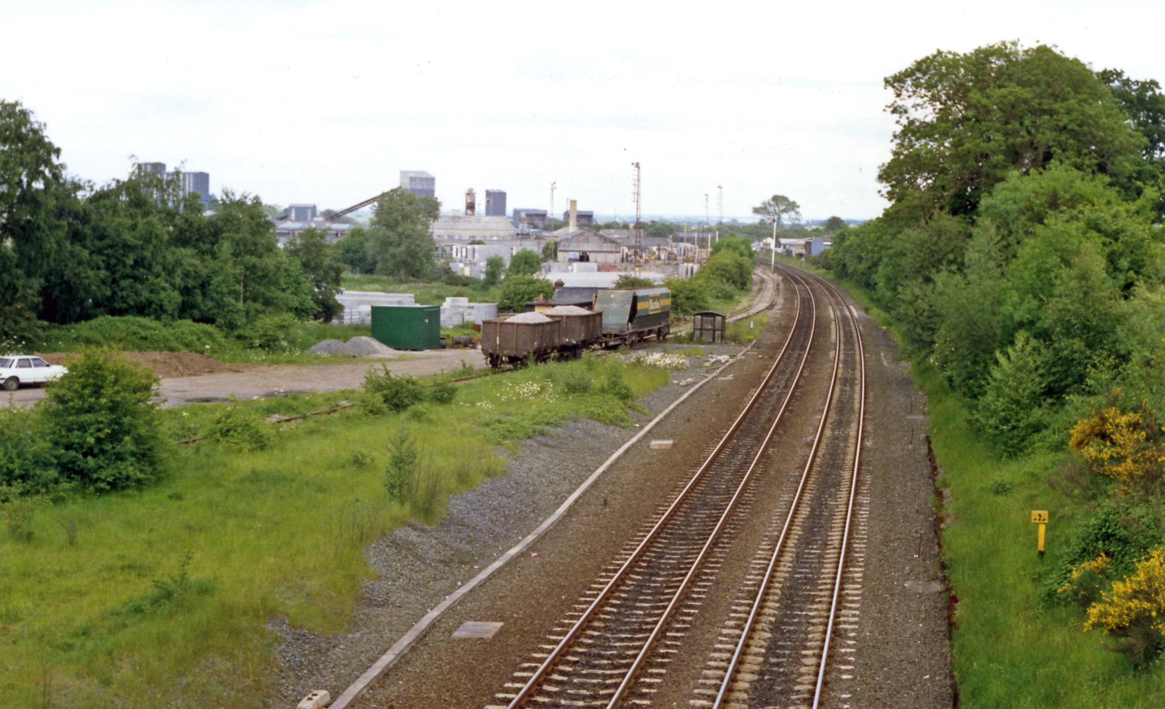
Croft railway station, Leicester

Croft railway station was a railway station serving the village of Croft in Leicestershire. It was on the Birmingham to Peterborough Line about 9 miles...

Croft Pasture

Croft Pasture is a 6.2-hectare (15-acre) biological Site of Special Scientific Interest on the outskirts of Croft in Leicestershire. Most of the site,...

Sutton in the Elms

Sutton in the Elms is a settlement in the northwest of Broughton Astley (where the population is listed), Leicestershire. Its name is sometimes abbreviated...

Nearby Amenities

Located within 500m of 52.549241,-1.2462479
Post Box
Ref: LE9 770
Lat/Long: 52.5531401/-1.2457465
Place: farm
Lat/Long: 52.5511054/-1.247297
Colour: red
Marker: post
Utility: gas
Lat/Long: 52.5487381/-1.2395662
Colour: red and white
Marker: aerial
Utility: gas
Lat/Long: 52.5487679/-1.2400418
Colour: red and white
Marker: aerial
Utility: gas
Lat/Long: 52.5486708/-1.242347
Colour: red and white
Marker: aerial
Utility: gas
Lat/Long: 52.5487077/-1.2426584
Colour: red and white
Marker: aerial
Utility: gas
Lat/Long: 52.5488838/-1.2458154
The data included in this document is from www.openstreetmap.org. The data is made available under ODbL.

Have you been to Paradise Spinney?

Leave your review of Paradise Spinney below (or comments, questions and feedback).