Durley Copse

Wood, Forest in Hampshire Winchester

England

Durley Copse

Durley church The church at Durley.
Durley church Credit: T Eyre

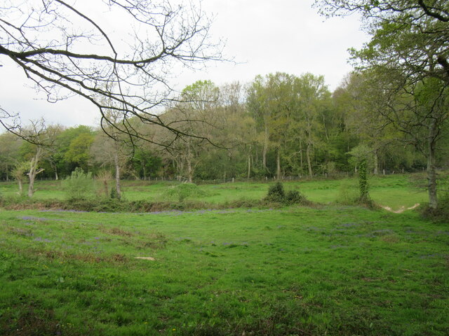
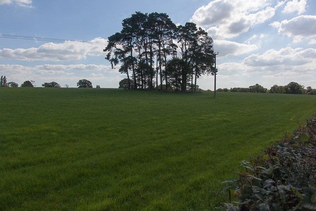
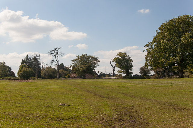
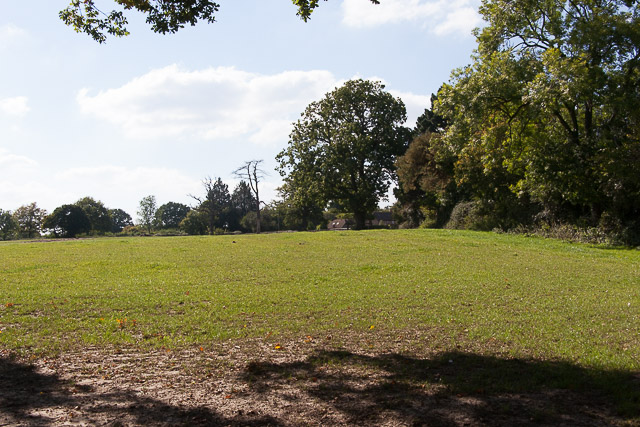
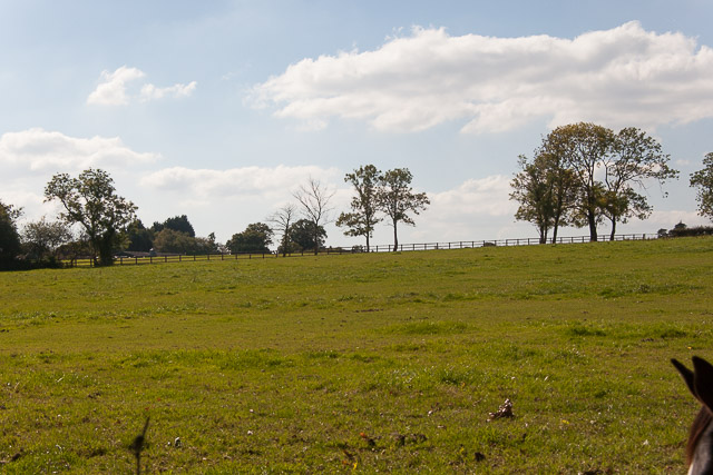
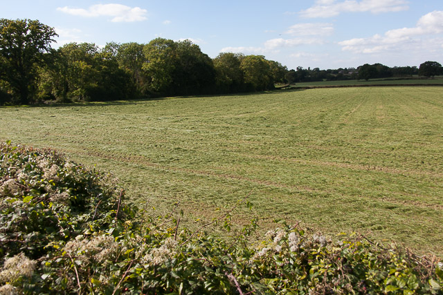
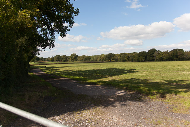
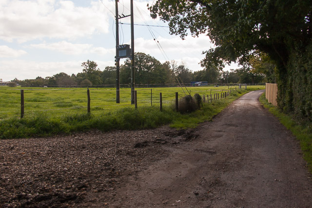
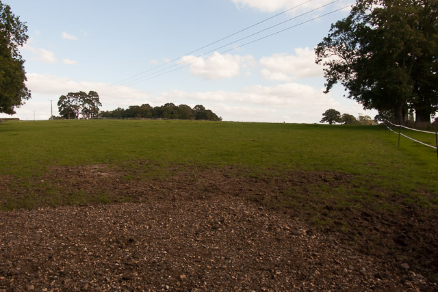
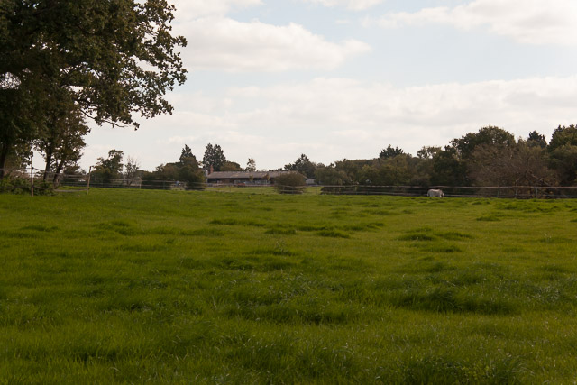
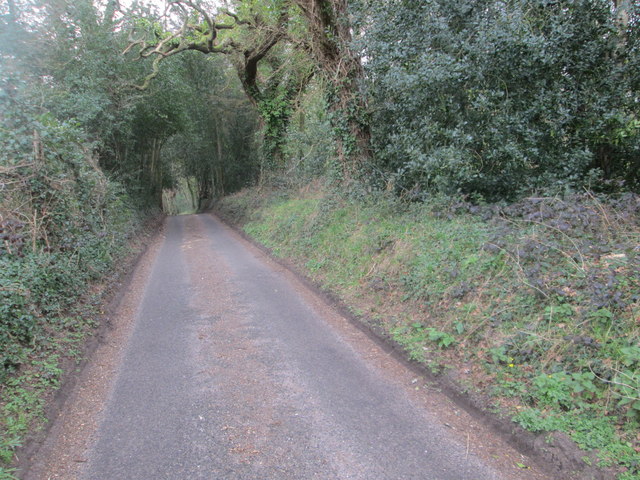
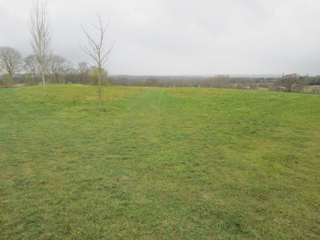
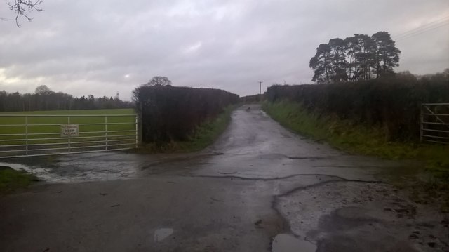
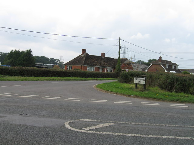
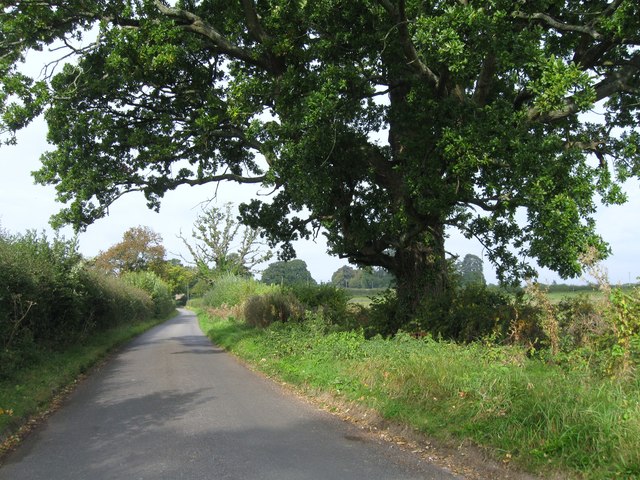
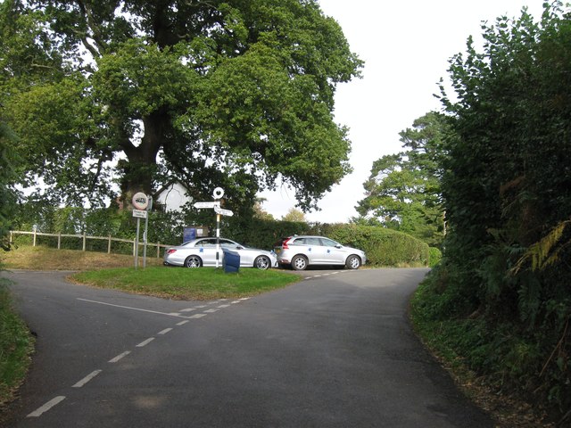
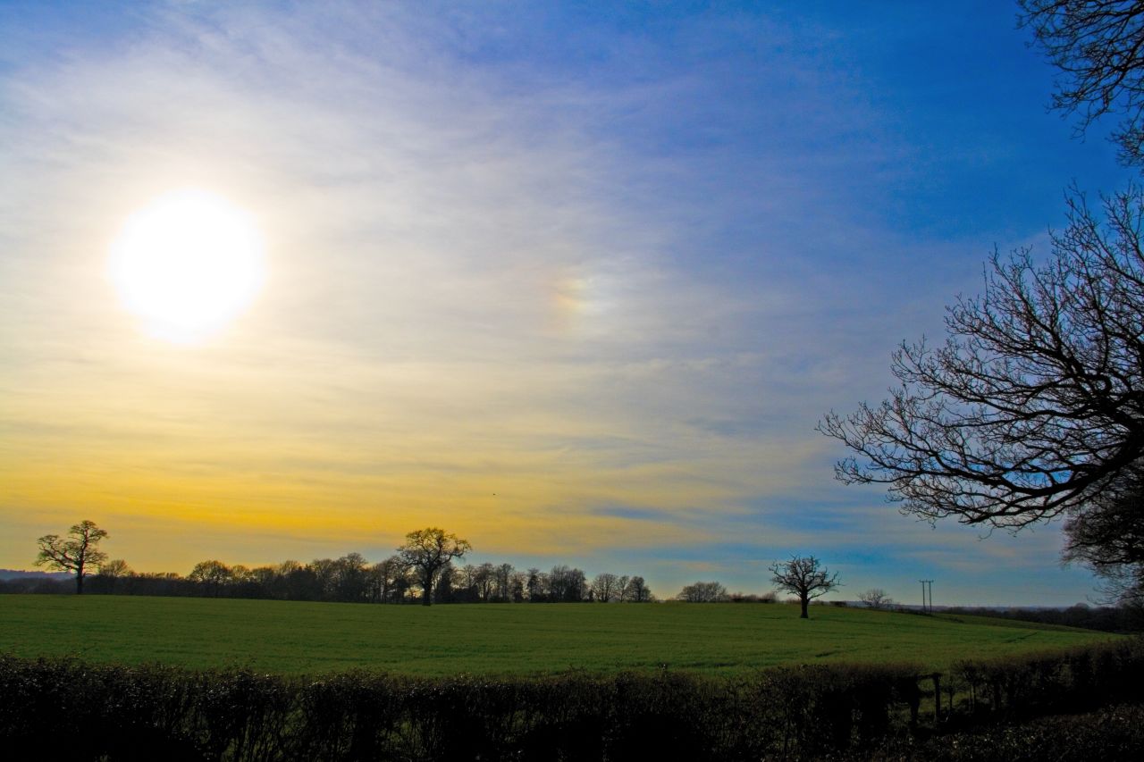
Durley Copse is a picturesque wood located in Hampshire, England. Covering an area of approximately 50 acres, it is a popular destination for nature lovers and outdoor enthusiasts. The copse is situated near the village of Durley, surrounded by rolling countryside and farmland.

The wood is predominantly composed of native broadleaf trees, including oak, beech, and ash, which create a diverse and vibrant ecosystem. The dense canopy provides a cool and shaded environment, making it an ideal place to escape the summer heat. The forest floor is covered in a carpet of wildflowers and ferns, adding to its natural beauty.

Durley Copse is home to a wide variety of wildlife, including deer, foxes, badgers, and a multitude of bird species. Nature enthusiasts can spot woodpeckers, nuthatches, and warblers among the trees, while the lucky ones may even catch a glimpse of a tawny owl or a red kite soaring above.

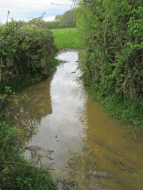
There are several well-marked walking trails that wind through the copse, offering visitors the chance to explore its enchanting surroundings. These trails provide breathtaking views of the surrounding countryside and are suitable for all levels of fitness. The wood also has designated picnic areas, making it a perfect spot for a family outing or a peaceful retreat.

Durley Copse is a cherished natural gem in Hampshire, offering a tranquil escape from the hustle and bustle of everyday life. Its stunning woodland scenery and rich biodiversity make it a must-visit destination for anyone seeking to connect with nature.

If you have any feedback on the listing, please let us know in the comments section below.
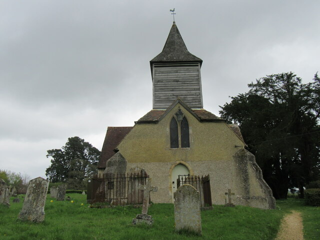
Durley Copse Images

Images are sourced within 2km of 50.957909/-1.2795077 or Grid Reference SU5017. Thanks to Geograph Open Source API. All images are credited.

Durley church The church at Durley.
Durley church
The church at Durley.
Greenwood This woodland is called Greenwood.
Greenwood
This woodland is called Greenwood.
Impassable route This muddy puddle had thick hedges on both side, with no way around it. An alternative route had to be taken to get to Fair Oak.
Impassable route
This muddy puddle had thick hedges on both side, with no way around it. An alternative route had to be taken to get to Fair Oak.
Trees in field on Hall Lands Farm TEST TEXT PLEASE DO NOT AMEND. WILL BE REPLACED BY PROPER DESCRIPTION LATER.
lambda as numeric code λ and lambda as character ref λ also; lambda is not in windows-1252. dagger as numeric code † and dagger as character ref † also; dagger is in windows-1252 but not in iso-8859-1.
Trees in field on Hall Lands Farm
TEST TEXT PLEASE DO NOT AMEND. WILL BE REPLACED BY PROPER DESCRIPTION LATER. lambda as numeric code λ and lambda as character ref λ also; lambda is not in windows-1252. dagger as numeric code † and dagger as character ref † also; dagger is in windows-1252 but not in iso-8859-1.
Looking towards Pembers Hill Farm Seen from footpath. The Little Dower House is off-picture to the right of the big tree.
Looking towards Pembers Hill Farm
Seen from footpath. The Little Dower House is off-picture to the right of the big tree.
Looking towards The Little Dower House From footpath.
Looking towards The Little Dower House
From footpath.
Field south of Tippers Copse With barn of Pembers Hill Farm in distance. Seen from footpath.
Field south of Tippers Copse
With barn of Pembers Hill Farm in distance. Seen from footpath.
Field and Hall Lands Copse Seen from footpath over Hall Lands Lane.
Field and Hall Lands Copse
Seen from footpath over Hall Lands Lane.
Field north of Hall Lands Copse Seen from footpath over Hall Lands Lane
Field north of Hall Lands Copse
Seen from footpath over Hall Lands Lane
Hall Lands Lane As it passes Hall Lands House on the right.
Hall Lands Lane
As it passes Hall Lands House on the right.
Field east of Hall Lands House With Tippers Copse visible on the horizon.
Field east of Hall Lands House
With Tippers Copse visible on the horizon.
Field east of Hall Lands House With barn of Pembers Hill Farm in distance.
Field east of Hall Lands House
With barn of Pembers Hill Farm in distance.
Greenwood Lane Looking NE.
Greenwood Lane
Looking NE.
Golf Course The large golf course near Horton Heath.
Golf Course
The large golf course near Horton Heath.
Hall Lands Lane Looking NE
Hall Lands Lane
Looking NE
Stroudwood Lane
Stroudwood Lane
Church Lane
Church Lane
Road junction and finger post
Show me another place!

Durley Copse is located at Grid Ref: SU5017 (Lat: 50.957909, Lng: -1.2795077)

Administrative County: Hampshire

District: Winchester

Police Authority: Hampshire

What 3 Words

///outsize.caller.baseballs. Near Bishopstoke, Hampshire

Nearby Locations

Durley Copse Church Copse

Related Wikis

Fair Oak Lodge

Fair Oak Lodge is a former country house in the village of Fair Oak, Hampshire. Much of the original estate has been built upon with modern housing, but...

Wyvern College, Eastleigh

Wyvern College is a [private education|coeducational]] secondary school with academy status for students in the villages of Fair Oak, Bishopstoke, Horton...

Fair Oak

Fair Oak is a large village to the east of the town of Eastleigh in Hampshire, England. Together with the village of Horton Heath, which lies to the south...

Horton Heath, Hampshire

Horton Heath is a semi-rural village which forms part of the civil parish of Fair Oak and Horton Heath in the borough of Eastleigh in Hampshire, England...

The King's School, Fair Oak

The King's School, on Allington Lane in Fair Oak, Hampshire, is an independent Christian faith school with 229 pupils As of 2023. The school was founded...

Durley

Durley is a village and civil parish in the City of Winchester district of Hampshire, England. It is located approximately 7½ miles (12.1 km) northeast...

Wintershill

Wintershill is a hamlet in south Hampshire, England. == References == The geographic coordinates are from the Ordnance Survey.

Durley Street

Durley Street is a village in the City of Winchester district of Hampshire, England. It is located approximately 7 miles (11 km) northeast of Southampton...

Nearby Amenities

Located within 500m of 50.957909,-1.2795077
Knowle Hill Farm
Landuse: farm
Note Retag: CS #48756035
Residence: farm
Source: OS OpenData StreetView
Lat/Long: 50.9594106/-1.2853423
Barrier: stile
Lat/Long: 50.9582103/-1.2727148
Golf: pin
Lat/Long: 50.9586814/-1.27283
Golf: pin
Lat/Long: 50.9564037/-1.2750827
Golf: pin
Lat/Long: 50.9577832/-1.2728727
Golf: pin
Lat/Long: 50.9613383/-1.2780177
Golf: pin
Lat/Long: 50.9585996/-1.2818059
Golf: pin
Lat/Long: 50.9556513/-1.2797027
Golf: pin
Lat/Long: 50.955501/-1.2838385
Golf: pin
Lat/Long: 50.9536813/-1.2807555
Golf: pin
Lat/Long: 50.953747/-1.2794047
Golf: pin
Lat/Long: 50.9539683/-1.2819777
Golf: pin
Lat/Long: 50.9547157/-1.2834076
Golf: pin
Lat/Long: 50.9548431/-1.2780796
Golf: pin
Lat/Long: 50.956354/-1.2791074
Golf: pin
Lat/Long: 50.9584524/-1.2734363
Golf: pin
Lat/Long: 50.9605189/-1.2772678
Golf: pin
Lat/Long: 50.958505/-1.2753771
Golf: pin
Lat/Long: 50.9607993/-1.2791706
The data included in this document is from www.openstreetmap.org. The data is made available under ODbL.

Have you been to Durley Copse?

Leave your review of Durley Copse below (or comments, questions and feedback).