Cobit Belt
Wood, Forest in Yorkshire Harrogate
England
Cobit Belt
Cobit Belt, Yorkshire is a picturesque woodland area located in the northern region of England. With its lush greenery and dense forest, it is a popular destination for nature enthusiasts and hikers alike. The belt is situated in the heart of Yorkshire and is known for its tranquil atmosphere and breathtaking scenery.
The woodland of Cobit Belt covers a vast area, with towering trees reaching towards the sky. It is home to a diverse range of flora and fauna, making it an ideal habitat for various species of birds, mammals, and insects. The forest floor is carpeted with a rich layer of moss and ferns, creating a magical and ethereal atmosphere.
Visitors to Cobit Belt can explore the numerous walking trails that wind their way through the forest. These trails offer stunning views of the surrounding landscape, including babbling brooks, cascading waterfalls, and hidden glens. The woodland is also dotted with charming picnic spots, where visitors can relax and enjoy a meal amidst the natural beauty.
Cobit Belt is a haven for wildlife enthusiasts, as it provides ample opportunities for birdwatching and wildlife spotting. Species such as red squirrels, deer, and various bird species can often be spotted within the forest. The area is also home to a diverse range of plant life, including ancient oak trees, wildflowers, and rare species of fungi.
Overall, Cobit Belt, Yorkshire is a haven for nature lovers, offering a peaceful retreat from the hustle and bustle of daily life. Its stunning woodland scenery, diverse wildlife, and serene atmosphere make it a must-visit destination for those seeking a connection with nature.
If you have any feedback on the listing, please let us know in the comments section below.
Cobit Belt Images
Images are sourced within 2km of 53.939124/-1.230829 or Grid Reference SE5049. Thanks to Geograph Open Source API. All images are credited.
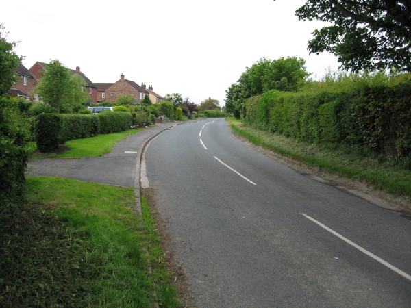


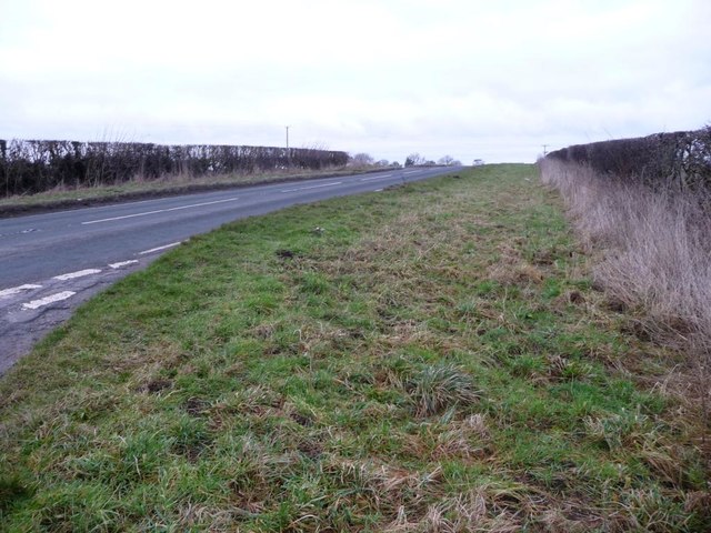
![Healaugh Lane A no-through-road running south-east from the B1224 [Wetherby Road].](https://s2.geograph.org.uk/geophotos/05/26/84/5268438_15ffbab6.jpg)
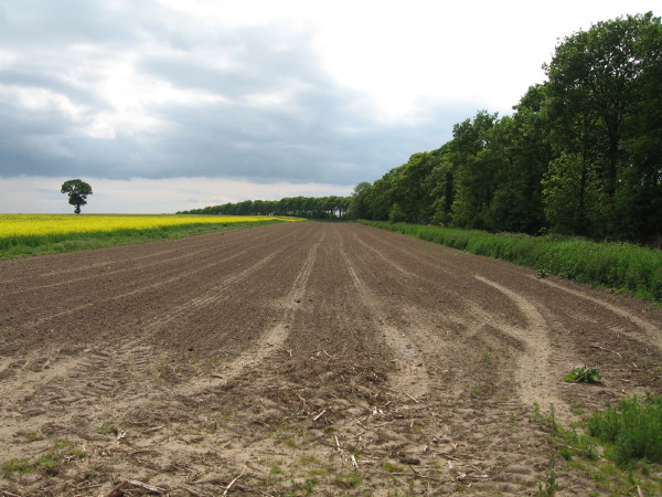
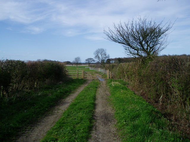
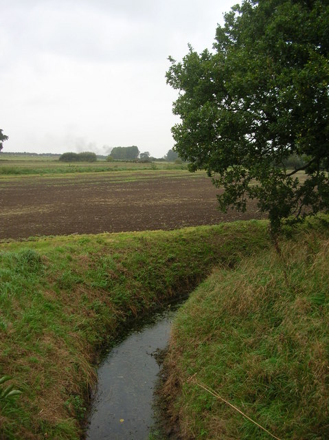
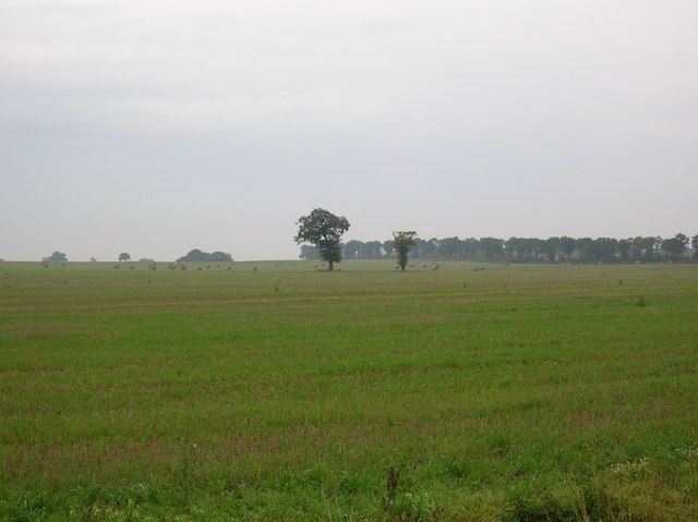
![Farmland bordered by Healaugh Lane and the B1224 In the distant, the northern tip of Coronation Belt [a shelterbelt].](https://s2.geograph.org.uk/geophotos/05/26/84/5268446_21309d1c.jpg)
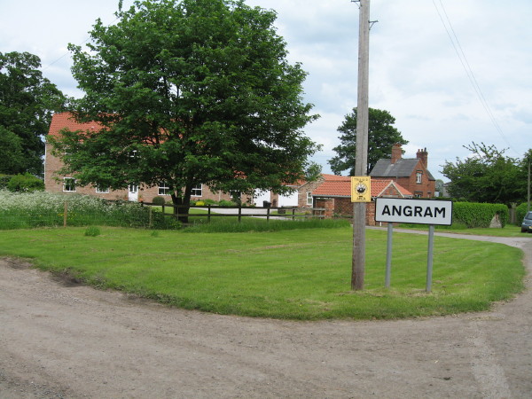
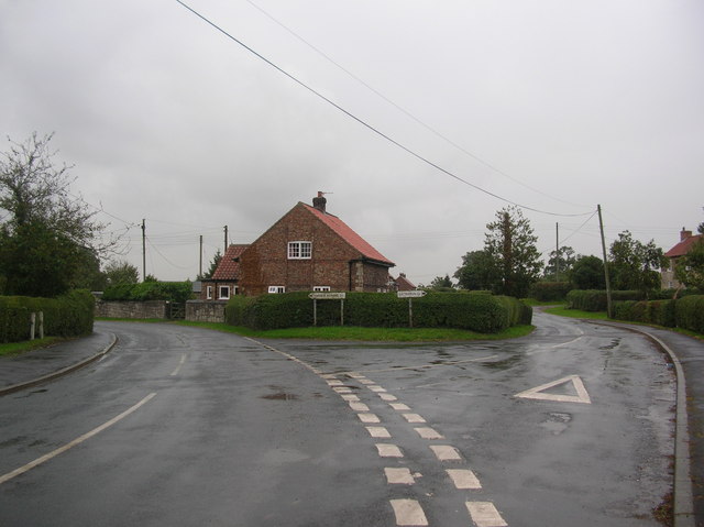
![Junction of Healaugh Lane and Wetherby Road [B1224] As usual around here, a grassy triangle makes the turn easier.](https://s2.geograph.org.uk/geophotos/05/26/84/5268454_1c81ca80.jpg)
Cobit Belt is located at Grid Ref: SE5049 (Lat: 53.939124, Lng: -1.230829)
Division: West Riding
Administrative County: North Yorkshire
District: Harrogate
Police Authority: North Yorkshire
What 3 Words
///staple.direction.pizzeria. Near Askham Richard, North Yorkshire
Nearby Locations
Related Wikis
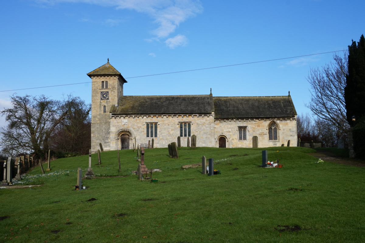
All Saints' Church, Long Marston
All Saints' Church is the parish church of Long Marston, a village in the Harrogate district of North Yorkshire, in England. A chapel was built at the...

Long Marston, North Yorkshire
Long Marston is a village and civil parish in the Harrogate district of North Yorkshire, England. Historically part of the West Riding of Yorkshire, it...
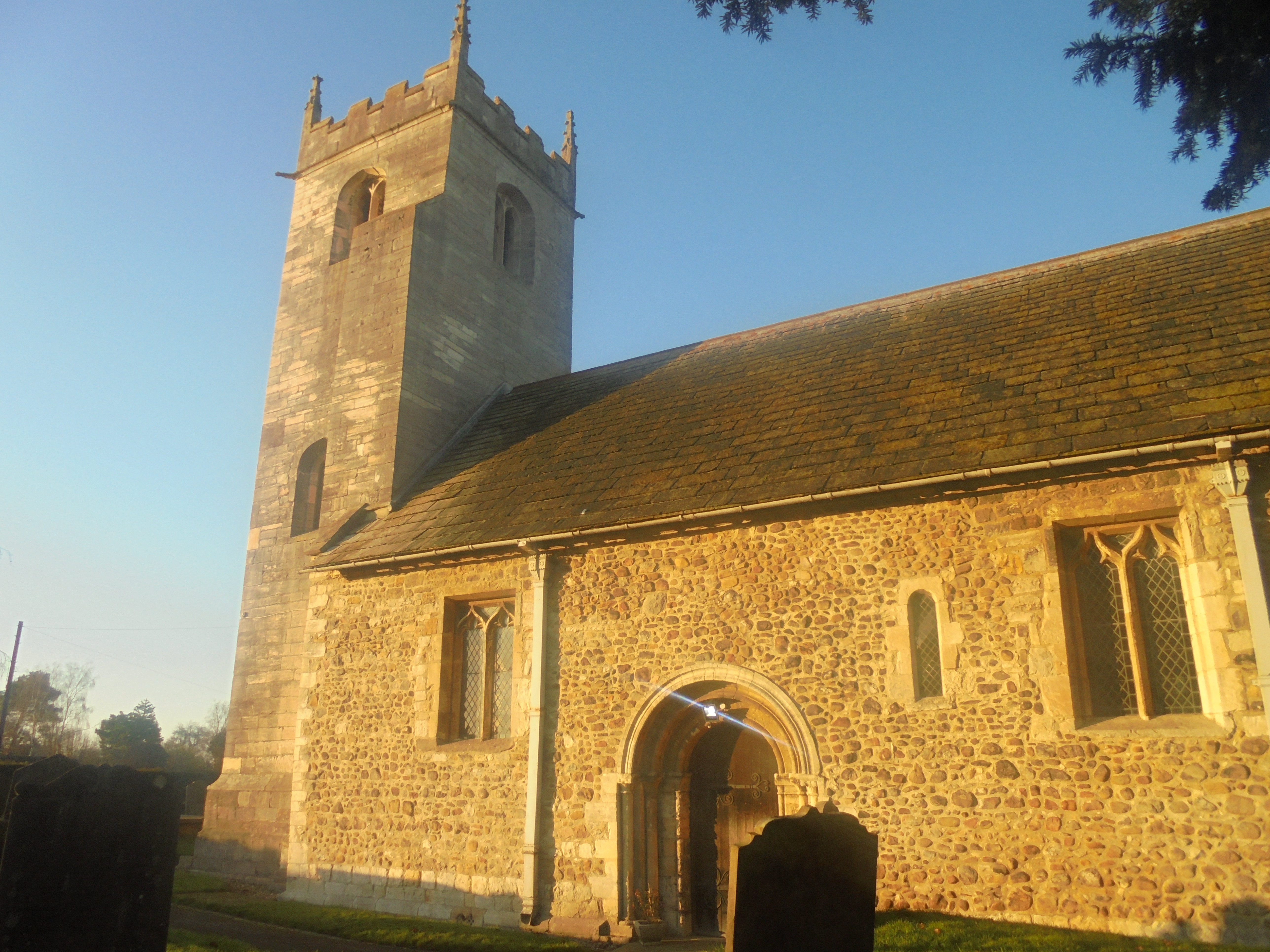
St John the Baptist Church, Healaugh
St John the Baptist Church is the parish church of Healaugh, a village west of York and north of Tadcaster in North Yorkshire, in England. The church was...

Boroughbridge High School
Boroughbridge High School is a mixed, nonselective, state secondary school in Boroughbridge, North Yorkshire, England. The school was awarded arts specialist...
Healaugh, Selby
Healaugh is a village and civil parish in the Selby District of North Yorkshire, England. According to the 2001 census it had a population of 161 in 63...

Angram, Harrogate
Angram is a village in the civil parish of Long Marston, near Bilbrough, in North Yorkshire, England. Angram was historically a township in the ancient...
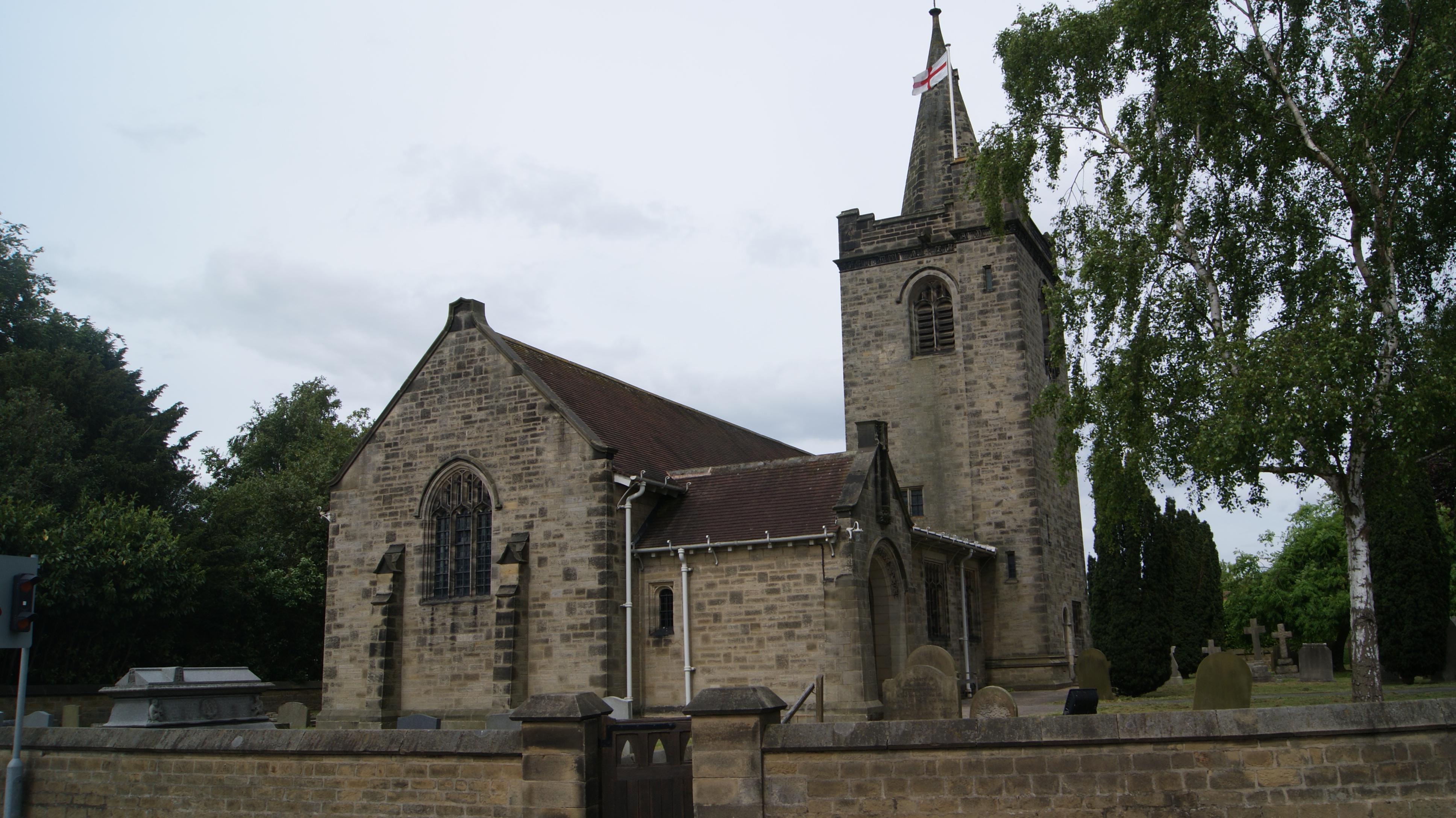
All Saints' Church, Rufforth
All Saints' Church is the parish church of the village of Rufforth, in the rural western part of the City of York, in England. A church was constructed...
Bilton-in-Ainsty
Bilton-in-Ainsty is a village in the civil parish of Bilton-in-Ainsty with Bickerton, in North Yorkshire, England. It lies about 4 miles (6 km) east of...
Nearby Amenities
Located within 500m of 53.939124,-1.230829Have you been to Cobit Belt?
Leave your review of Cobit Belt below (or comments, questions and feedback).