Bustard Belt
Wood, Forest in Yorkshire Harrogate
England
Bustard Belt
Bustard Belt is a picturesque woodland area located in Yorkshire, England. Nestled in the heart of the county, this enchanting forest is known for its stunning natural beauty and diverse wildlife. Spanning over a vast area, Bustard Belt is a haven for nature enthusiasts and outdoor lovers.
The woodland is predominantly made up of ancient oak trees, which provide a rich and varied habitat for countless species. The forest floor is adorned with a carpet of wildflowers, adding bursts of color and fragrance to the surroundings. Bustard Belt is also home to a myriad of wildlife, including deer, badgers, foxes, and a wide variety of bird species.
Numerous walking trails wind their way through the woodland, offering visitors the opportunity to explore the area at their leisure. These well-maintained paths allow for a peaceful and immersive experience in nature, with the gentle sound of birdsong accompanying each step. Additionally, there are designated picnic areas and benches scattered throughout the forest, providing the perfect spots for visitors to relax and enjoy a packed lunch amidst the tranquil surroundings.
Bustard Belt is a popular destination for photographers and artists, who are drawn to its breathtaking scenery and ever-changing landscapes. The changing seasons bring a kaleidoscope of colors, from the vibrant greens of spring to the fiery reds and oranges of autumn.
Overall, Bustard Belt in Yorkshire is a captivating woodland that offers a tranquil retreat from the hustle and bustle of everyday life. With its natural beauty, diverse wildlife, and peaceful ambiance, it is a place that truly captures the essence of the English countryside.
If you have any feedback on the listing, please let us know in the comments section below.
Bustard Belt Images
Images are sourced within 2km of 53.941968/-1.2342349 or Grid Reference SE5049. Thanks to Geograph Open Source API. All images are credited.

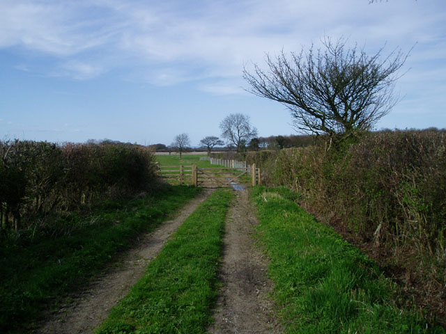


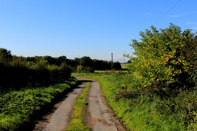
![Healaugh Lane A no-through-road running south-east from the B1224 [Wetherby Road].](https://s2.geograph.org.uk/geophotos/05/26/84/5268438_15ffbab6.jpg)
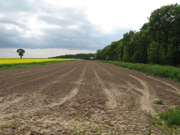
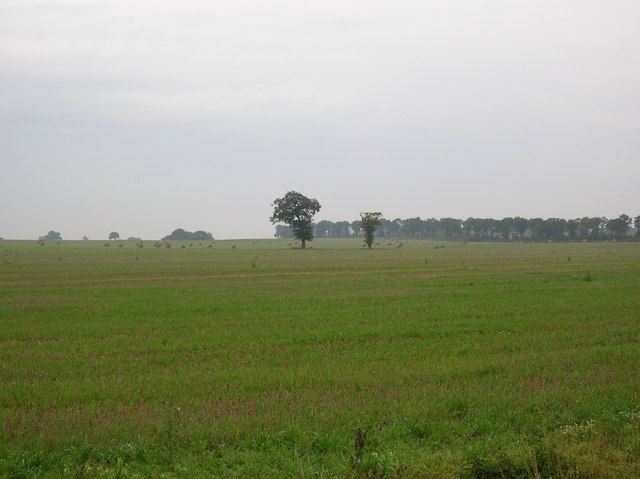
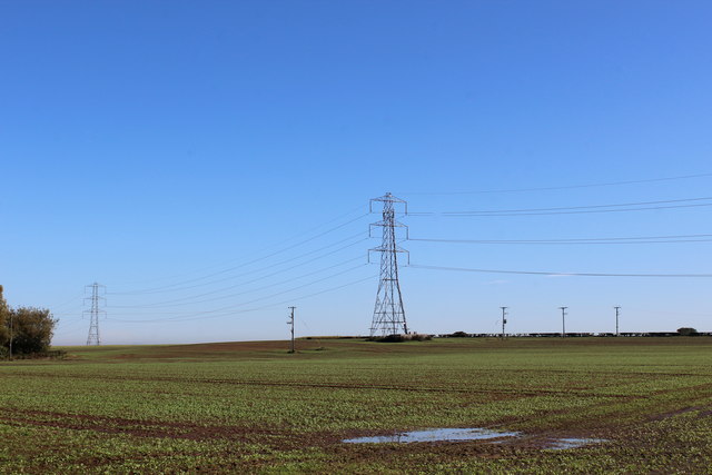
![Farmland bordered by Healaugh Lane and the B1224 In the distant, the northern tip of Coronation Belt [a shelterbelt].](https://s2.geograph.org.uk/geophotos/05/26/84/5268446_21309d1c.jpg)
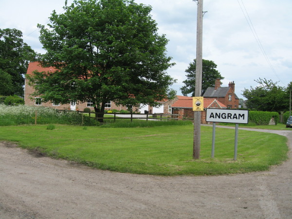
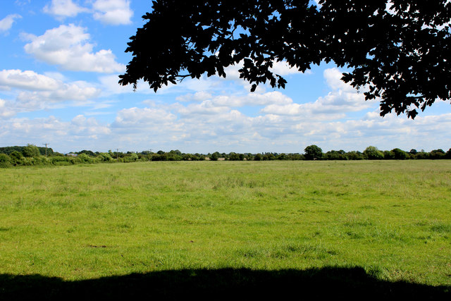
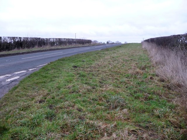
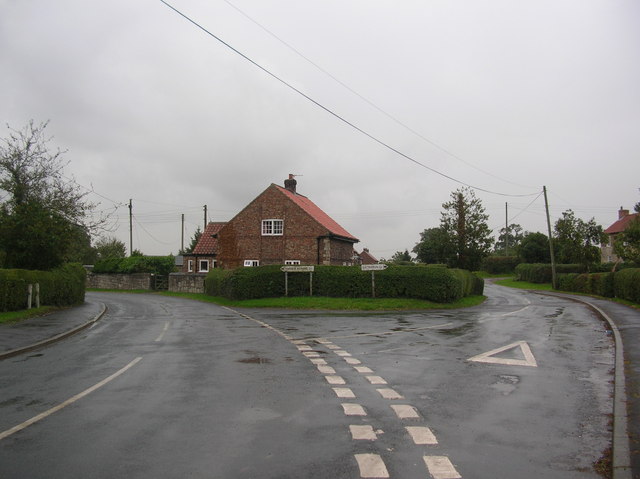
![Junction of Healaugh Lane and Wetherby Road [B1224] As usual around here, a grassy triangle makes the turn easier.](https://s2.geograph.org.uk/geophotos/05/26/84/5268454_1c81ca80.jpg)
Bustard Belt is located at Grid Ref: SE5049 (Lat: 53.941968, Lng: -1.2342349)
Division: West Riding
Administrative County: North Yorkshire
District: Harrogate
Police Authority: North Yorkshire
What 3 Words
///farmer.bring.classmate. Near Askham Richard, North Yorkshire
Nearby Locations
Related Wikis
All Saints' Church, Long Marston
All Saints' Church is the parish church of Long Marston, a village in the Harrogate district of North Yorkshire, in England. A chapel was built at the...

Long Marston, North Yorkshire
Long Marston is a village and civil parish in the Harrogate district of North Yorkshire, England. Historically part of the West Riding of Yorkshire, it...
St John the Baptist Church, Healaugh
St John the Baptist Church is the parish church of Healaugh, a village west of York and north of Tadcaster in North Yorkshire, in England. The church was...

Boroughbridge High School
Boroughbridge High School is a mixed, nonselective, state secondary school in Boroughbridge, North Yorkshire, England. The school was awarded arts specialist...
Healaugh, Selby
Healaugh is a village and civil parish in the Selby District of North Yorkshire, England. According to the 2001 census it had a population of 161 in 63...

Angram, Harrogate
Angram is a village in the civil parish of Long Marston, near Bilbrough, in North Yorkshire, England. Angram was historically a township in the ancient...
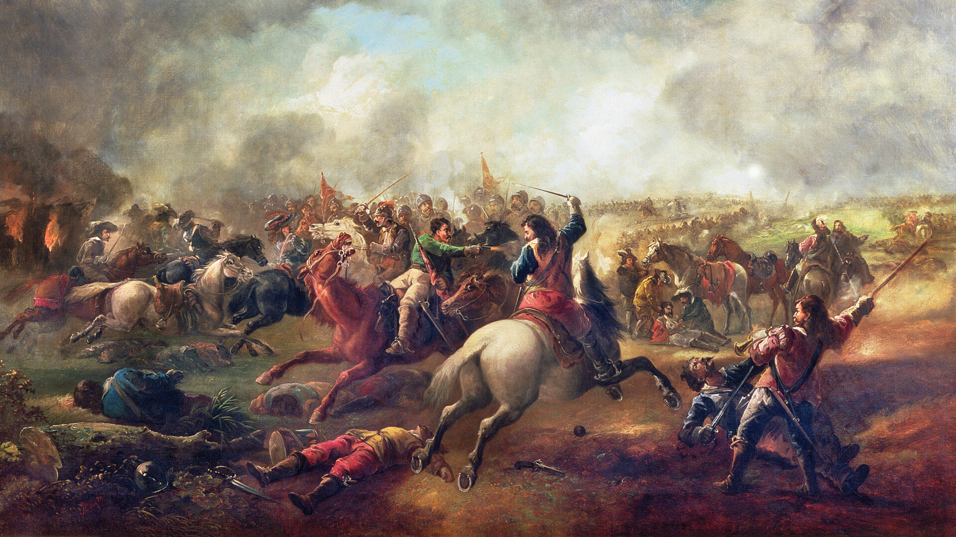
Battle of Marston Moor
The Battle of Marston Moor was fought on 2 July 1644, during the Wars of the Three Kingdoms of 1639–1653. The combined forces of the English Parliamentarians...
Bilton-in-Ainsty
Bilton-in-Ainsty is a village in the civil parish of Bilton-in-Ainsty with Bickerton, in North Yorkshire, England. It lies about 4 miles (6 km) east of...
Nearby Amenities
Located within 500m of 53.941968,-1.2342349Have you been to Bustard Belt?
Leave your review of Bustard Belt below (or comments, questions and feedback).