Ancient Druid

Settlement in Monmouthshire

Wales

Ancient Druid

Manmoel Inn Village inn which is now closed and has been converted for residential use.
Manmoel Inn Credit: Alan Hughes

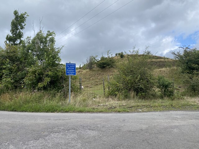
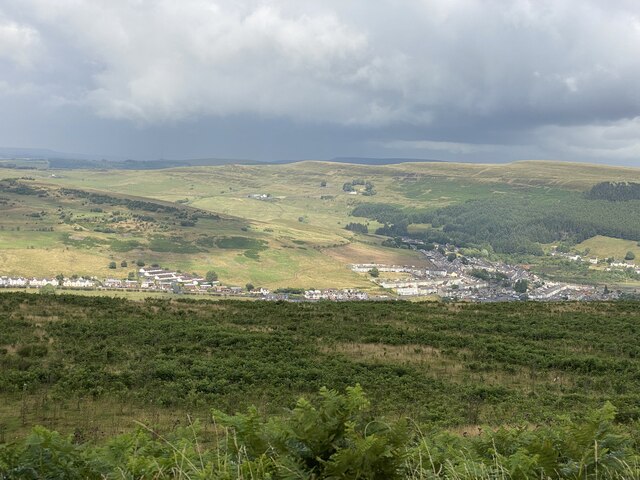
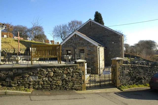
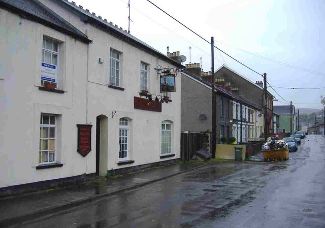
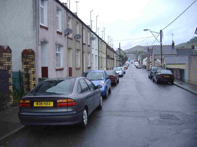
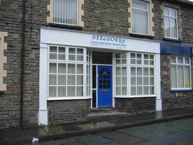
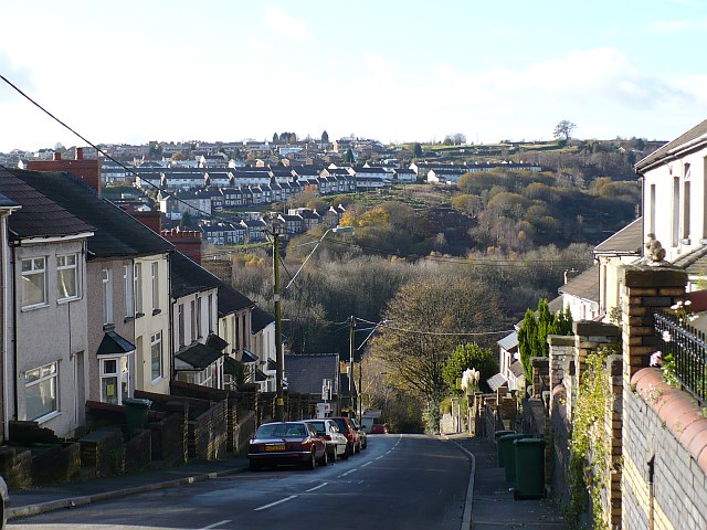
Ancient Druid is a small village located in the county of Monmouthshire, Wales. Situated on the eastern bank of the River Wye, it is surrounded by picturesque countryside, offering residents and visitors a serene and tranquil setting. The village is part of the larger community of Trellech United, which includes nearby settlements such as Trellech and Penallt.

The name "Ancient Druid" carries historical significance, as it is believed to be connected to the ancient Celtic Druids who inhabited this region during pre-Roman times. The presence of ancient standing stones and burial mounds in the surrounding landscape further suggests a connection to this mystical past.

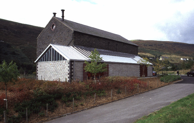
Despite its small size, Ancient Druid boasts a strong sense of community and a friendly atmosphere. The village is home to a close-knit population, with residents actively involved in local events and initiatives. The village hall serves as a central gathering point for social gatherings, community meetings, and various activities.

The natural beauty of the area attracts outdoor enthusiasts, with opportunities for walking, hiking, and cycling in the nearby Wye Valley and surrounding hills. The village also benefits from its proximity to the town of Monmouth, which provides residents with access to amenities such as shops, schools, and healthcare facilities.

Overall, Ancient Druid in Monmouthshire offers a peaceful and idyllic setting, deeply rooted in its Celtic past, while also providing a strong sense of community and access to nearby amenities.

If you have any feedback on the listing, please let us know in the comments section below.

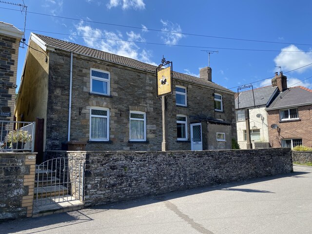
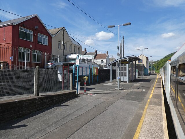
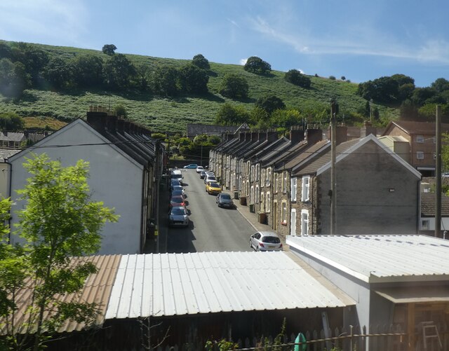
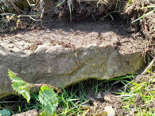
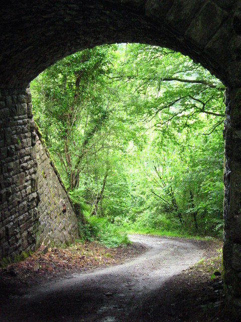
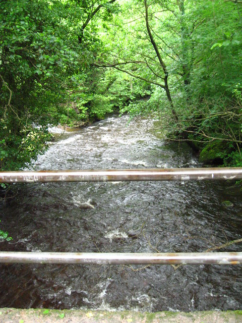
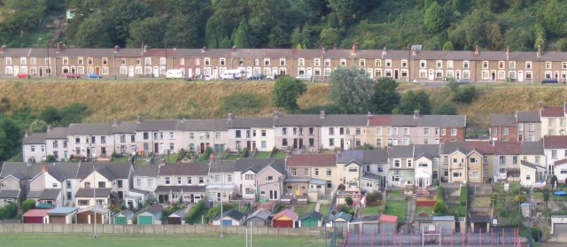
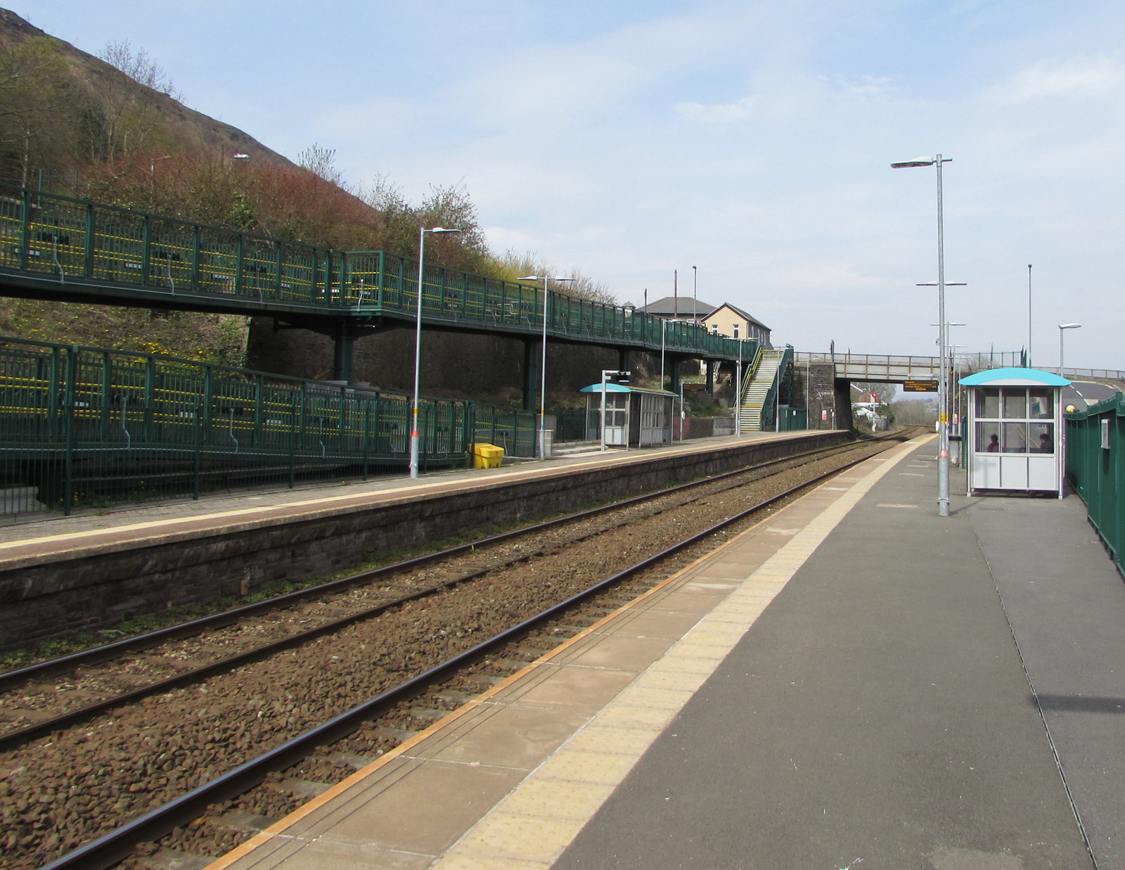
Ancient Druid Images

Images are sourced within 2km of 51.716431/-3.214452 or Grid Reference SO1602. Thanks to Geograph Open Source API. All images are credited.

Manmoel Inn Village inn which is now closed and has been converted for residential use.
Manmoel Inn
Village inn which is now closed and has been converted for residential use.
Brithdir Railway Station
James Street, Brithdir
Ordnance Survey Rivet This damaged OS rivet can be found on the culvert NE side of the road. It marks a point 438.933m above mean sea level.
Ordnance Survey Rivet
This damaged OS rivet can be found on the culvert NE side of the road. It marks a point 438.933m above mean sea level.
Ordnance Survey Rivet This OS rivet can be found on the rock NE side of the road. It marks a point 427.186m above mean sea level.
Ordnance Survey Rivet
This OS rivet can be found on the rock NE side of the road. It marks a point 427.186m above mean sea level.
Ordnance Survey Cut Mark This OS cut mark can be found on the wall east side of the road. It marks a point 407.966m above mean sea level.
Ordnance Survey Cut Mark
This OS cut mark can be found on the wall east side of the road. It marks a point 407.966m above mean sea level.
Ordnance Survey Cut Mark This OS cut mark can be found on the school SE side of the road. It marks a point 294.336m above mean sea level.
Ordnance Survey Cut Mark
This OS cut mark can be found on the school SE side of the road. It marks a point 294.336m above mean sea level.
Ordnance Survey Cut Mark This OS cut mark can be found on the house SW side of the road. It marks a point 295.647m above mean sea level.
Ordnance Survey Cut Mark
This OS cut mark can be found on the house SW side of the road. It marks a point 295.647m above mean sea level.
Coal tip near Brithdir
Sunlight across the Rhymney Valley View towards New Tredegar.
Sunlight across the Rhymney Valley
View towards New Tredegar.
Elliot Colliery East Pit, New Tredegar This is all that remains of this former colliery - closed 1967. The building is now a little museum housing a steam winding engine of 1891 that was built in Burton-upon-Trent. The site is currently being revamped.
Elliot Colliery East Pit, New Tredegar
This is all that remains of this former colliery - closed 1967. The building is now a little museum housing a steam winding engine of 1891 that was built in Burton-upon-Trent. The site is currently being revamped.
Historical sign for Paran Church Manmoel This shows the sign at Paran Church Manmoel which outlines the founding history of the site.
Historical sign for Paran Church Manmoel
This shows the sign at Paran Church Manmoel which outlines the founding history of the site.
Side view of Paran Methodist Church Manmoel This shows a side view of Paran Church. The churchyard is reached by passing through the gates and continuing round to the right. The graveyard is very well tended and includes a bank at a higher level.
Side view of Paran Methodist Church Manmoel
This shows a side view of Paran Church. The churchyard is reached by passing through the gates and continuing round to the right. The graveyard is very well tended and includes a bank at a higher level.
Station Road, Brithdir
Bristol Terrace, Brithdir
Heelworks, Station Road, Brithdir Canine behaviour modification.
Heelworks, Station Road, Brithdir
Canine behaviour modification.
View under bridge carrying Sirhowy Valley Walk A very narrow road leads down, then round a corner to reveal this view through the arch of the old bridge which used to carry a railway, but now has the Sirhowy Valley Walk crossing over it. The view is towards the Sirhowy Valley itself, though it is hard to make it out through all the trees.
View under bridge carrying Sirhowy Valley Walk
A very narrow road leads down, then round a corner to reveal this view through the arch of the old bridge which used to carry a railway, but now has the Sirhowy Valley Walk crossing over it. The view is towards the Sirhowy Valley itself, though it is hard to make it out through all the trees.
Sirhowy  River seen from bridge. Due to recent heavy rain the river is flowing vigorously in this picture. A small tributary can be seen coming in near the top left of the picture. The road over the bridge comes from the A4048, but is no longer passable for cars for much further than this bridge.
Sirhowy River seen from bridge.
Due to recent heavy rain the river is flowing vigorously in this picture. A small tributary can be seen coming in near the top left of the picture. The road over the bridge comes from the A4048, but is no longer passable for cars for much further than this bridge.
Show me another place!

Ancient Druid is located at Grid Ref: SO1602 (Lat: 51.716431, Lng: -3.214452)

Unitary Authority: Caerphilly

Police Authority: Gwent

Also known as: Druid

What 3 Words

///touchy.presumes.ranking. Near New Tredegar, Caerphilly

Nearby Locations

Ancient Druid Druid

Related Wikis

Holly Bush railway station

Holly Bush railway station served the village of Hollybush, in the historical county of Monmouthshire, Wales, from 1871 to 1960 on the Sirhowy Railway...

Cwmsyfiog Halt railway station

Cwmsyfiog Halt railway station served the suburb of Cwmsyfiog, Monmouthshire, Wales, from 1937 to 1962 on the Brecon and Merthyr Tydfil Junction Railway...

Brithdir, Caerphilly

Brithdir is a small village in the northern part of the Rhymney Valley near New Tredegar, in the county borough of Caerphilly, south Wales, and within...

Brithdir railway station

Brithdir railway station is a railway station serving the village of Brithdir near New Tredegar, South Wales. It is a stop on the Rhymney Line 18+3⁄4 miles...

Markham, Caerphilly

Markham is a small village in the South Wales Valleys in Caerphilly County Borough, to the northeast of Bargoed. The B4511 road links to Markham from Aberbargoed...

New Tredegar

New Tredegar (Welsh: Tredegar Newydd) is a former mining town and community in the Rhymney Valley, Caerphilly county borough, Wales, within the historic...

Tir-Phil railway station

Tir-Phil railway station is a railway station serving the village of Tir-Phil and the town of New Tredegar, south Wales. It is a stop on the Rhymney Line...

Aberbargoed

Aberbargoed is a town in the County Borough of Caerphilly, Wales. Aberbargoed once contained the largest ever colliery waste tip in Europe, although this...

Nearby Amenities

Located within 500m of 51.716431,-3.214452
Barrier: stile
Lat/Long: 51.7146964/-3.2157109
Tourism: viewpoint
Lat/Long: 51.712588/-3.2165522
Barrier: wall
Lat/Long: 51.7130392/-3.2164219
Crossing
Lat/Long: 51.7172729/-3.2119134
Barrier: stile
Lat/Long: 51.7189527/-3.2139306
Bench
Lat/Long: 51.7182494/-3.2088256
Bench
Lat/Long: 51.7180299/-3.2086007
Barrier: stile
Lat/Long: 51.7150959/-3.2149104
The data included in this document is from www.openstreetmap.org. The data is made available under ODbL.

Have you been to Ancient Druid?

Leave your review of Ancient Druid below (or comments, questions and feedback).