Bottom Copse

Wood, Forest in Hampshire Eastleigh

England

Bottom Copse

Station Hill, Botley Part of a small business estate along Hillsons Road off to the left.
The station is beyond the trees in the background.
Station Hill, Botley Credit: Des Blenkinsopp

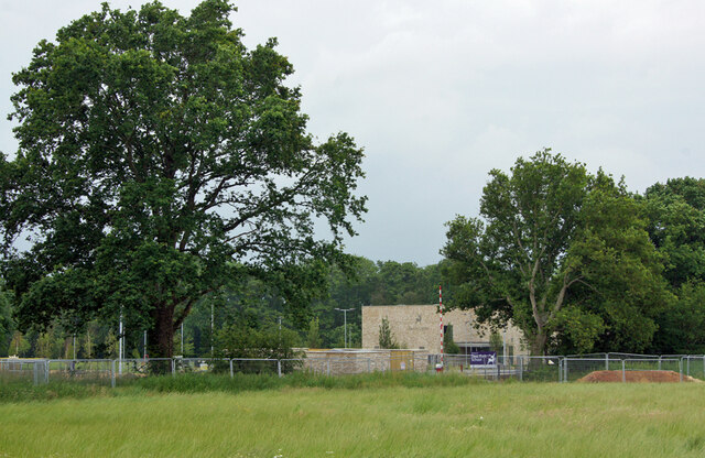
Bottom Copse is a picturesque woodland located in Hampshire, England. Situated on the southeastern edge of the New Forest National Park, the copse covers an area of approximately 20 hectares. It is known for its diverse range of flora and fauna, making it a popular destination for nature enthusiasts and hikers alike.

The woodland is predominantly composed of broadleaf trees, including oak, beech, and birch, which create a dense canopy overhead. The forest floor is adorned with an array of wildflowers, ferns, and mosses, adding to the copse's natural charm. In spring, the woodland truly comes alive as bluebells carpet the ground, creating a breathtaking display of vibrant colors.

Bottom Copse is also home to a variety of wildlife. Visitors may catch a glimpse of deer, foxes, and rabbits, as well as a wide range of bird species, including woodpeckers, owls, and songbirds. The copse offers a peaceful habitat for these creatures, providing ample food and shelter.

Walking trails wind through the copse, allowing visitors to explore its beauty at their own pace. The paths meander through the trees, offering glimpses of sunlight filtering through the foliage. Along the way, there are benches and picnic areas, inviting visitors to take a moment to appreciate the tranquility of the surroundings.

Bottom Copse provides a unique opportunity to immerse oneself in the natural beauty of the Hampshire countryside. Its ancient woodland, diverse ecosystem, and scenic trails make it a must-visit destination for those seeking a peaceful retreat in nature.

If you have any feedback on the listing, please let us know in the comments section below.
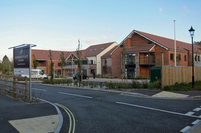
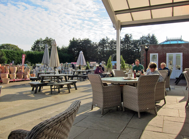
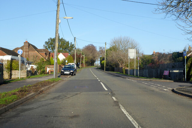
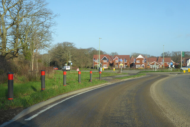
Bottom Copse Images

Images are sourced within 2km of 50.920211/-1.2865914 or Grid Reference SU5013. Thanks to Geograph Open Source API. All images are credited.

Station Hill, Botley Part of a small business estate along Hillsons Road off to the left.
The station is beyond the trees in the background.
Station Hill, Botley
Part of a small business estate along Hillsons Road off to the left. The station is beyond the trees in the background.
Deer Park School, entrance The larger brick building is the Sports Hall. The main school building is out of sight to the left. The school is currently under the final stages of construction, and is due to open in September this year. Currently, the school is surrounded by open fields, though these are destined to shortly be turned into a new housing estate.
Deer Park School, entrance
The larger brick building is the Sports Hall. The main school building is out of sight to the left. The school is currently under the final stages of construction, and is due to open in September this year. Currently, the school is surrounded by open fields, though these are destined to shortly be turned into a new housing estate.
Deer Park School, nearing completion This new secondary school is due to open in September this year. It is currently surrounded by open fields, though very shortly, construction of a new housing estate will swallow them up.
Deer Park School, nearing completion
This new secondary school is due to open in September this year. It is currently surrounded by open fields, though very shortly, construction of a new housing estate will swallow them up.
Deer Park School, under construction The leafy rural setting of the new school will soon change. While most of the larger trees will survive, the fields which surround the school are soon to become a housing development.
Deer Park School, under construction
The leafy rural setting of the new school will soon change. While most of the larger trees will survive, the fields which surround the school are soon to become a housing development.
Deer Park School - now open This view is across the not-yet open car park of the school towards the main building. The school started accepting pupils in September of this year, though clearly parts of the campus are still unfinished.
Deer Park School - now open
This view is across the not-yet open car park of the school towards the main building. The school started accepting pupils in September of this year, though clearly parts of the campus are still unfinished.
Snowdrop Place Care Home Newly opened residential care home operated by Barchester Healthcare.
(See also <a href="https://www.geograph.org.uk/photo/6635397">SU5013 : Snowdrop Place Care Home - under construction</a>).
Snowdrop Place Care Home
Newly opened residential care home operated by Barchester Healthcare. (See also SU5013 : Snowdrop Place Care Home - under construction).
Garden centre café A pleasant place to enjoy a cup of tea and enjoy the autumn sunshine while thinking about all that gardening you could be doing.
Garden centre café
A pleasant place to enjoy a cup of tea and enjoy the autumn sunshine while thinking about all that gardening you could be doing.
A334 towards Wickham Leaving Botley, crossing the River Hamble.
A334 towards Wickham
Leaving Botley, crossing the River Hamble.
A334 High Street, Botley Eastwards towards Wickham.
A334 High Street, Botley
Eastwards towards Wickham.
A334 towards Botley
A334 towards Botley
B3354 Winchester Road, Boorley Green Towards Winchester.
B3354 Winchester Road, Boorley Green
Towards Winchester.
Roundabout on B3354 Winchester Road Inserted in the straight a few years ago to serve a housing development of a golf course site.
Roundabout on B3354 Winchester Road
Inserted in the straight a few years ago to serve a housing development of a golf course site.
Botley: on Platform 2 This is the line from Fareham to Eastleigh (ahead). The original station buildings - with the exception of the boarded-up signal box - have been demolished and Botley is now an unstaffed halt. The late Ben Brooksbank's <a href="https://www.geograph.org.uk/photo/1859055">SU5213 : Botley Station</a> shows it as it was in 1963.
Botley: on Platform 2
This is the line from Fareham to Eastleigh (ahead). The original station buildings - with the exception of the boarded-up signal box - have been demolished and Botley is now an unstaffed halt. The late Ben Brooksbank's SU5213 : Botley Station shows it as it was in 1963.
Approaching Botley Station The Railway Inn is on the right of the A334, opposite the station (which is masked by trees and part of an industrial estate).
Approaching Botley Station
The Railway Inn is on the right of the A334, opposite the station (which is masked by trees and part of an industrial estate).
Botley: at the corner of Church Lane and Mill Hill High Street is to the left and Winchester Street ahead. The house on the corner is one of many fine Grade II listed 18th-century houses in Botley. The bricks of the single-storey wing on the right are laid in Chinese bond - on their sides, rather than laid flat, they appear larger than bricks laid normally.
Botley: at the corner of Church Lane and Mill Hill
High Street is to the left and Winchester Street ahead. The house on the corner is one of many fine Grade II listed 18th-century houses in Botley. The bricks of the single-storey wing on the right are laid in Chinese bond - on their sides, rather than laid flat, they appear larger than bricks laid normally.
Botley: former maltings, Church Lane Now residential.
Botley: former maltings, Church Lane
Now residential.
Botley: north along Church Lane Looking past  Grade II listed Ivy Cottage towards the former maltings on an April evening.
Botley: north along Church Lane
Looking past Grade II listed Ivy Cottage towards the former maltings on an April evening.
Botley: Cobbetts Cottage, Church Lane This Grade II listed 18th-century house is the only remaining part of the estate of William Cobbett, pamphleteer, journalist and author of "Rural Rides". The south wall is slate-hung.
Botley: Cobbetts Cottage, Church Lane
This Grade II listed 18th-century house is the only remaining part of the estate of William Cobbett, pamphleteer, journalist and author of "Rural Rides". The south wall is slate-hung.
Show me another place!

Bottom Copse is located at Grid Ref: SU5013 (Lat: 50.920211, Lng: -1.2865914)

Administrative County: Hampshire

District: Eastleigh

Police Authority: Hampshire

What 3 Words

///trudges.clay.join. Near Botley, Hampshire

Related Wikis

Edward Sparshott

Edward Sparshott (3 March 1788 – 9 November 1873) was an English officer of the Royal Navy, serving during the Napoleonic Wars. As midshipman on HMS Centaur...
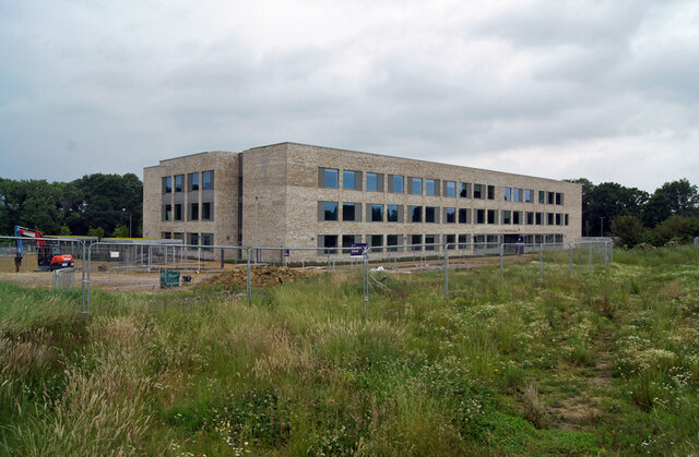
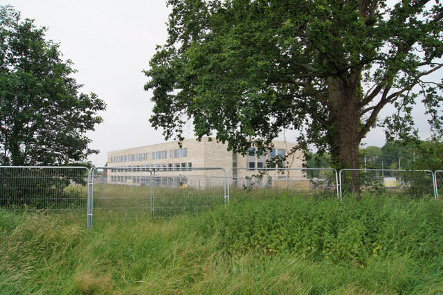
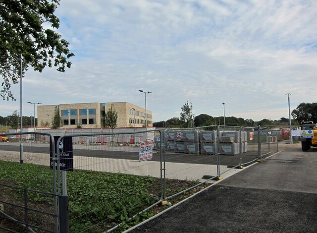
Wildern School

Wildern School is an 11–16 mixed secondary school with academy status in Hedge End, Hampshire, England. It was formerly a foundation school that was established...

Shamblehurst Farmhouse

Shamblehurst Farmhouse is a Grade II listed building in Hedge End, Hampshire. Situated on Shamblehurst Lane, it was first listed on 14 February 1983. The...

Botley, Hampshire

Botley is a historic village in Hampshire, England. The village was once described as "the most delightful village in the world" by 18th century journalist...

Strawberry Trail

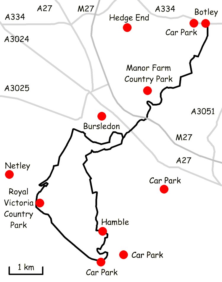
The Strawberry Trail is a 15-mile footpath through Hampshire, England The trail is part linear and part circular. The linear section connects Botley to...

Hedge End

Hedge End is a town and civil parish in Hampshire, England. Situated to the east of the City of Southampton, it adjoins the districts of West End and Botley...

Long Common

Long Common is a village in the civil parish of Botley in the Eastleigh district of Hampshire, England. It lies approximately 5.6 miles (9.0 km) north...

Hedge End railway station

Hedge End railway station is situated on the northern edge of the town of Hedge End in the English county of Hampshire. The station was opened by British...

Nearby Amenities

Located within 500m of 50.920211,-1.2865914
Fuel
Texaco
Brand: Texaco
Brand Wikidata: Q775060
Mapillary: 810227843226788
Survey Date: 2020-09-17
Website: https://locations.valero.com/en-gb/LocationDetails/Index/BOTLEY/0000251620
Lat/Long: 50.9165263/-1.2903915
Bus Stop
Bowling Green
Bus: yes
Naptan AtcoCode: 1900HA030427
Naptan Bearing: NE
Naptan CommonName: Bowling Green
Naptan Crossing: Pavilion Road
Naptan NaptanCode: hamdjtja
Naptan Street: Woodhouse Lane
Naptan Verified: no
Public Transport: platform
Source: naptan_import
Lat/Long: 50.9182061/-1.2894845
Bus Stop
Hilliers Garden Centre
Bus: yes
Naptan AtcoCode: 1900HA030428
Naptan Bearing: SW
Naptan CommonName: Hilliers Garden Centre
Naptan NaptanCode: hamdjwag
Naptan Street: Woodhouse Lane
Naptan Verified: no
Public Transport: platform
Source: naptan_import
Lat/Long: 50.9204972/-1.2847404
Bus Stop
Hilliers Garden Centre
Bus: yes
Naptan AtcoCode: 1900HA030429
Naptan Bearing: NE
Naptan CommonName: Hilliers Garden Centre
Naptan NaptanCode: hamdjwap
Naptan Street: Woodhouse Lane
Naptan Verified: no
Public Transport: platform
Source: naptan_import
Lat/Long: 50.9209963/-1.2840072
Bus Stop
Texaco Service Station
Bus: yes
Naptan AtcoCode: 1900HA030445
Naptan Bearing: E
Naptan CommonName: Texaco Service Station
Naptan Crossing: Kings Copse Avenue
Naptan NaptanCode: hamdjtgm
Naptan Street: Marvin Way
Naptan Verified: no
Public Transport: platform
Source: naptan_import
Lat/Long: 50.916577/-1.2903545
Bus Stop
Woodhouse Lane
Bus: yes
Naptan AtcoCode: 1900HAA10020
Naptan Bearing: E
Naptan CommonName: Woodhouse Lane
Naptan Crossing: Woodhouse Lane
Naptan Landmark: Texaco Service Station
Naptan NaptanCode: hamjmdtm
Naptan Street: Grange Road
Naptan Verified: no
Public Transport: platform
Source: naptan_import
Lat/Long: 50.91613/-1.2882073
Barrier: lift_gate
Lat/Long: 50.9190786/-1.2901819
Material: wood
Power: pole
Source: bing
Lat/Long: 50.9182691/-1.2828439
Material: wood
Power: pole
Source: bing
Lat/Long: 50.9187882/-1.2808993
Barrier: lift_gate
Lat/Long: 50.9194039/-1.2927413
Generator Method: photovoltaic
Generator Output Electricity: yes
Generator Source: solar
Generator Type: solar_photovoltaic_panel
Location: roof
Power: generator
Lat/Long: 50.9213177/-1.2912691
Crossing
Crossing: unmarked
Crossing Markings: no
Lat/Long: 50.9224361/-1.2816417
Defibrillator
Emergency: defibrillator
Lat/Long: 50.9186496/-1.2902265
Crossing
Bicycle: yes
Crossing: unmarked
Crossing Markings: no
Source: Esri World Imagery
Lat/Long: 50.9244708/-1.2848108
Crossing
Crossing: unmarked
Crossing Markings: no
Lat/Long: 50.9220161/-1.2823745
Crossing
Crossing: unmarked
Crossing Markings: no
Lat/Long: 50.9220923/-1.2822352
Crossing
Crossing: unmarked
Crossing Markings: no
Tactile Paving: yes
Lat/Long: 50.9214365/-1.2837103
Crossing
Lat/Long: 50.9195629/-1.286376
Crossing
Crossing: unmarked
Crossing Markings: no
Lat/Long: 50.9232814/-1.2854092
Barrier: kerb
Kerb: lowered
Source: Esri World Imagery
Tactile Paving: yes
Lat/Long: 50.9245237/-1.2847793
Barrier: kerb
Kerb: lowered
Source: Esri World Imagery
Tactile Paving: yes
Lat/Long: 50.9244091/-1.2848417
The data included in this document is from www.openstreetmap.org. The data is made available under ODbL.

Have you been to Bottom Copse?

Leave your review of Bottom Copse below (or comments, questions and feedback).